
Place · 1.4 mi away
Challenging
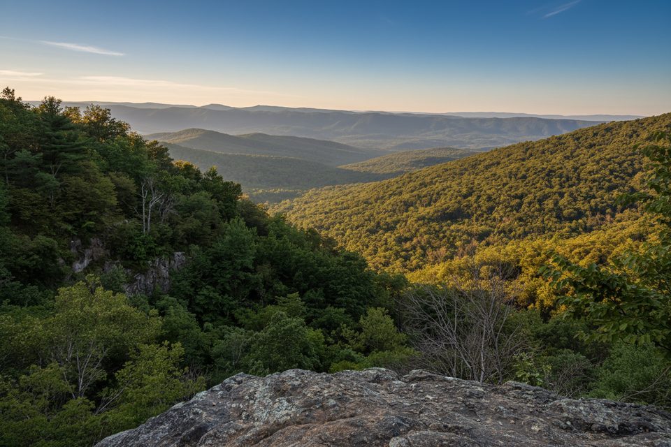
If you want a big Shenandoah sampler without the crowds, this loop delivers. The standard circuit is about 8.5 miles total starting from the Thompson Hollow Trail parking near Bentonville/Overall, linking Thompson Hollow → Overall Run → Overall–Beecher Connector → Beecher Ridge → Tuscarora–Overall Run back to your start. Expect a real workout, varied terrain, and the park’s tallest waterfall when conditions cooperate.
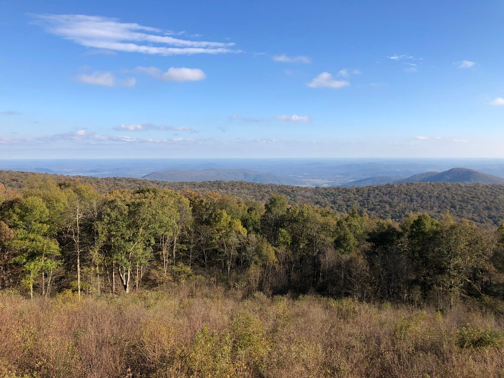
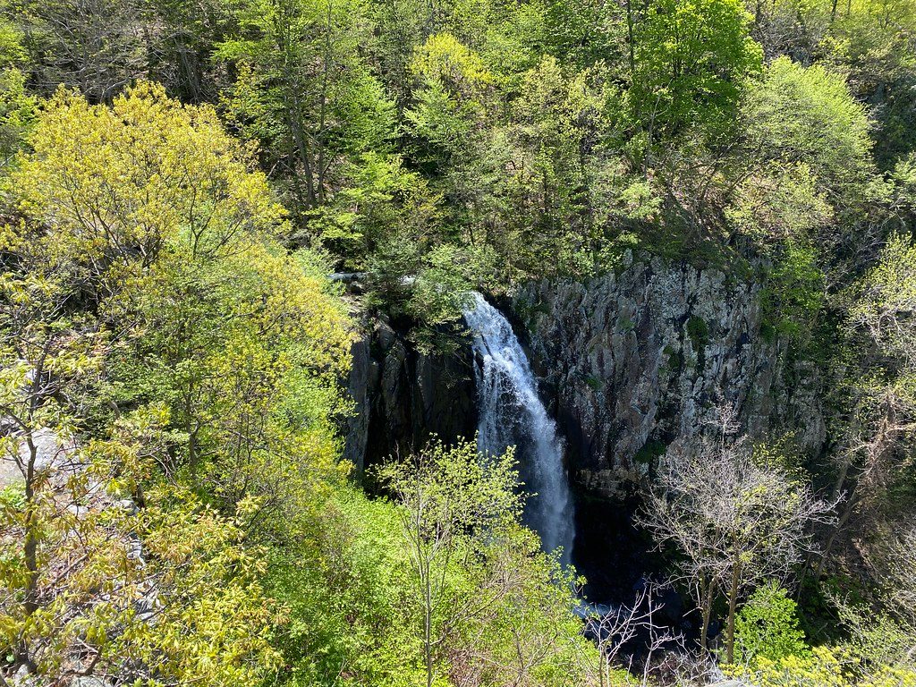
Overall Run Falls is the star—at 93 feet, it’s the highest in the park. After wet spells and in spring, the falls and cascades roar; in late summer they can shrink to a trickle. The overlook also opens sweeping views across the Shenandoah Valley toward Massanutten. Past the falls, the loop trades creekside travel for a steady, sometimes lonely ridge walk on Beecher Ridge before dropping back to the blue‑blazed Tuscarora–Overall Run Trail and the waterfall corridor.
Footing is classic Blue Ridge: dirt and rock with rooty sections, a few stream crossings, and muddy spots after rain. The climb on the Overall–Beecher Connector is punchy, and the long pull on Beecher Ridge sneaks up on tired legs. Trekking poles help, especially on slick rock near the falls.
Geology bonus: Overall Run tumbles over ancient greenstone (metamorphosed basalt), a nod to the area’s volcanic past. Keep an eye out for wildflowers in spring, fiery foliage in fall, and wildlife year‑round—deer, wild turkey, and the occasional black bear along the ridge.
Best time to hike: Spring and after soaking rains for waterfall payoff; fall for color and crisp air. Summer is lush and shaded but often low flow. Winter brings clearer views and fewer people, but expect ice on the falls side. For crowds and parking, earlier is better—especially on weekends.
Tips: Hike clockwise to see the falls earlier and finish the bigger climb on Beecher Ridge. Blazes help with junctions (blue on Tuscarora–Overall Run; some yellow‑blazed access spurs). No special day‑use permit is needed here (those apply only to the Old Rag area); standard park entrance fees still apply. If Skyline Drive or Mathews Arm access is more convenient for you, variations from that side push the total closer to 9–10 miles.
Primary start at Thompson Hollow Trail Parking near Bentonville/Overall (limited spaces—arrive early). Alternate access from Mathews Arm/Skyline Drive adds mileage. Confirm trail junctions using posted blazes and area maps.
Expect steep, rocky sections and slick stream crossings after rain; Beecher Ridge feels remote with few bailouts. In winter, the falls side can be icy. Waterfall flow is highly variable—plan expectations accordingly.
Place · 1.4 mi away
Place · 2.5 mi away
Place · 2.9 mi away
Place · 3.3 mi away
Challenging · 2.5 mi away
Moderate · 2.9 mi away
Challenging · 2.9 mi away
Moderate · 3.3 mi away

Parkwolf Tour Guide
