Why go
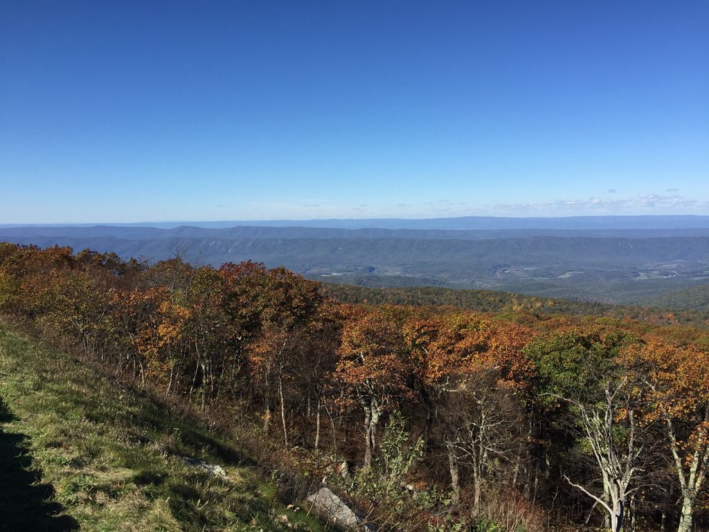
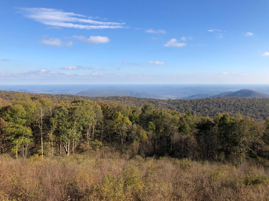
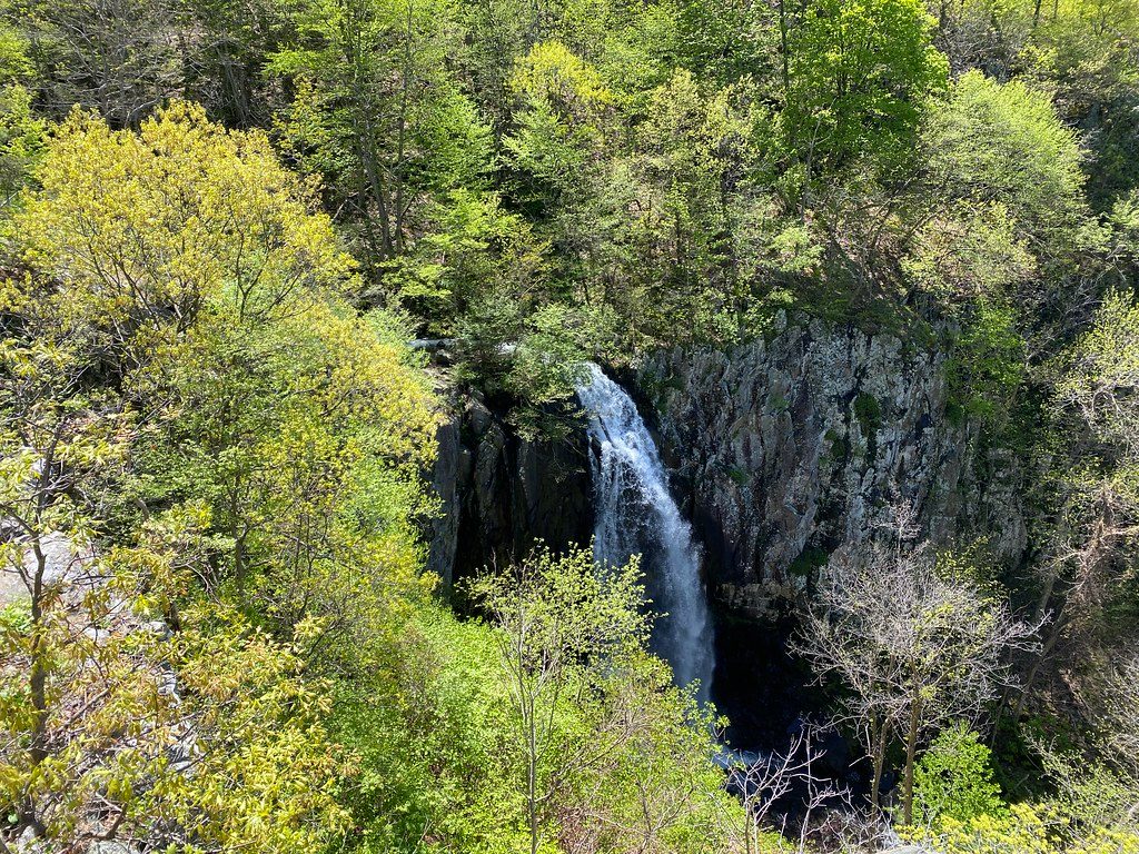
This is the park’s tallest waterfall, a 93‑foot plunge into a rugged gorge with wide views toward the Shenandoah Valley. The overlook gives you both waterfall drama and big‑sky scenery—hard to beat when the water is running.
What you’ll see
- The main 93‑foot drop plus another smaller waterfall upstream (often called a twin/upper falls) about 0.2 miles before the overlook.
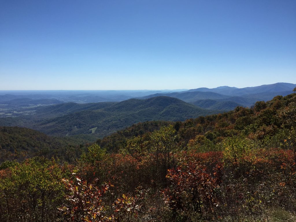
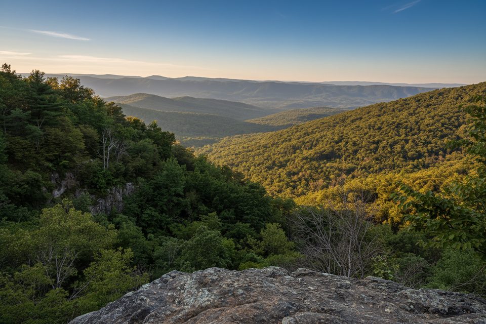
- Expansive vistas from the cliffy gorge—western exposure means long views across the valley.
- Forested trail corridors with rocky outcrops; some hikers note a pleasant swimming hole along the way (don’t swim near the falls).
Getting there
- Most popular route: from Mathews Arm Campground on Skyline Drive. Expect roughly 5–6.5 miles round-trip depending on the exact route, with about 1,300 feet of elevation gain and a moderately strenuous feel.
- Alternate: start just south of Hogback Overlook on Skyline Drive; the path begins on the Appalachian Trail before turning toward Overall Run.
- A lower access outside the park exists but has limited parking (around 10 vehicles). Route-finding can be confusing from some approaches (e.g., Thompson Hollow) if your goal is the main 93‑foot viewpoint—bring clear directions and mind junctions.
Trail feel & effort
It’s mostly moderate hiking with at least one steep section. Remember that it’s downhill to the falls and uphill back—budget energy and time for the climb out.
Seasonality and flow
This waterfall is notorious for shrinking in dry weather. Aim for spring snowmelt or after steady rain for the best show; in summer droughts it can be a disappointment.
Wildlife
Deer and black bears are possible in this part of the park, and woodland birds are common. Keep distance from wildlife and store food properly if you’re lingering or camping elsewhere on your route.
Safety notes
- The base is not safely or officially accessible—skip the steep, user‑made paths.
- Streams and rocks can be slick after rain. Trekking poles help on the steeps.
- Dogs are allowed on leash; keep them close at cliff edges.
Best time to visit
- Season: spring and any time after significant rainfall.
- Week timing: weekdays or early mornings to beat crowds and heat.
- Light: the overlook faces west—afternoons can light up the gorge and valley; mornings are quieter and cooler.
Practicalities
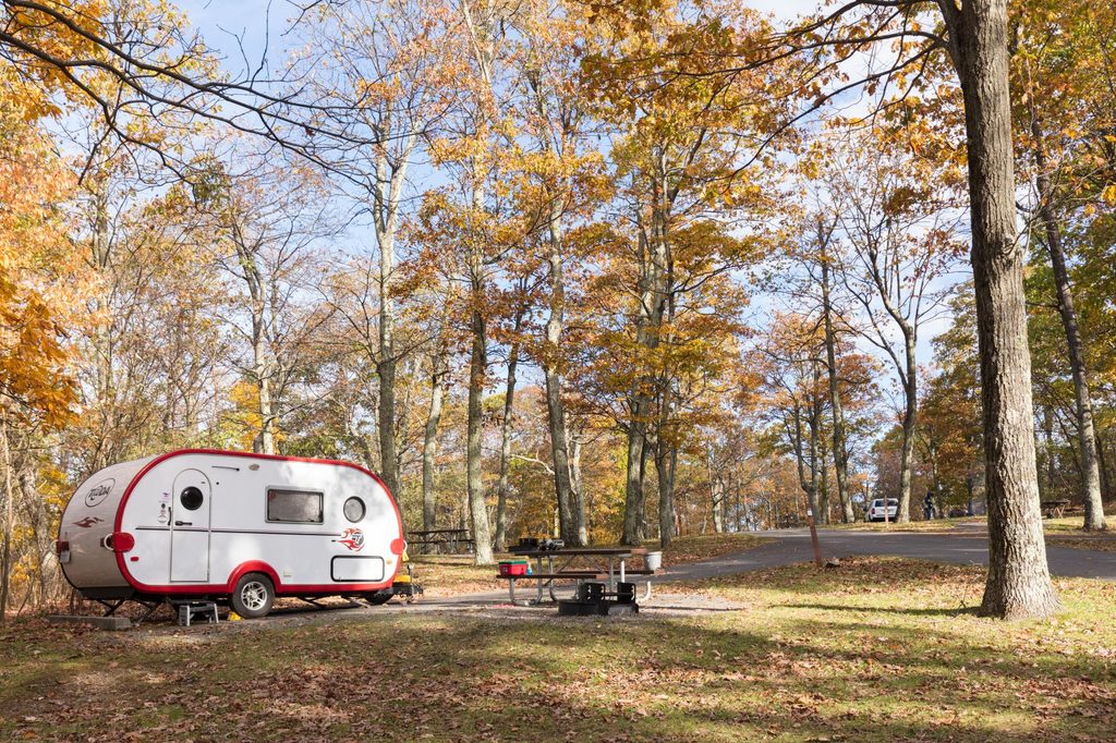
Parking and restrooms are at/near Mathews Arm Campground when it’s open; there are no facilities at the falls themselves. Come self‑sufficient with water, snacks, and a map or GPS.