
Place · 1.9 mi away
Challenging

This is a long, quieter loop for people who love Shenandoah’s stream valleys and old mountain history more than big overlooks. The 9.7-mile loop (total) links Piney Branch Trail with nearby connectors and Keyser Run Fire Road, most commonly starting at the Little Devil’s Stairs parking area on Keyser Run Road. Expect a moderate-to-hard day with steady climbing, rocky footing, and multiple water crossings.
Most hikers favor a clockwise direction: descend via Keyser Run Fire Road to pick up Piney Branch, then climb back on connecting trails like Hull School before closing the loop. The miles along Piney Branch are the heart of the hike—damp, mossy tread, riffles and small cascades, and a named waterfall noted in guides. Junctions are signed, but there are enough intersections that a real map (PATC Map 9) or offline GPS is smart.
You’ll spend most of your day in hardwood forest—oaks, hickories, tulip poplar—tracing an old road grade near the base of the park with visible stone fences and terraced plots from former homesteads. Views are limited to partial peeks through the trees (better in winter), so come for water, woods, and quiet rather than panoramas.
Fall is a sweet spot: colorful canopy, cool air, clear streams. Spring brings wildflowers and lively flows but also muddier tread and trickier crossings. Summer is shaded but humid with ticks and bugs. Winter is serene with better sightlines, but watch for ice at crossings and on steep sections. Start early; this loop typically takes 5–6 hours.
Wear sturdy, grippy shoes and consider trekking poles—the rocks can be slick, and crossings swell after rain. Download maps ahead of time; cell service is spotty. This area sees fewer hikers than the park’s marquee routes, which is a plus, but it means you should be self-reliant. If you’re chasing big overlooks, pick a different objective; if you want classic Shenandoah creek walking with history underfoot, this one delivers.
Park at the Little Devil’s Stairs parking area on Keyser Run Road; this is the common trailhead for the loop.
Several stream crossings can run high and slick after rain; footing is rocky/rooty, cell service is weak, and ticks and bears are present. If your route includes Little Devil’s Stairs, verify current dog rules before bringing a pet.
Place · 1.9 mi away
Place · 2 mi away
Place · 2.2 mi away
Place · 2.4 mi away
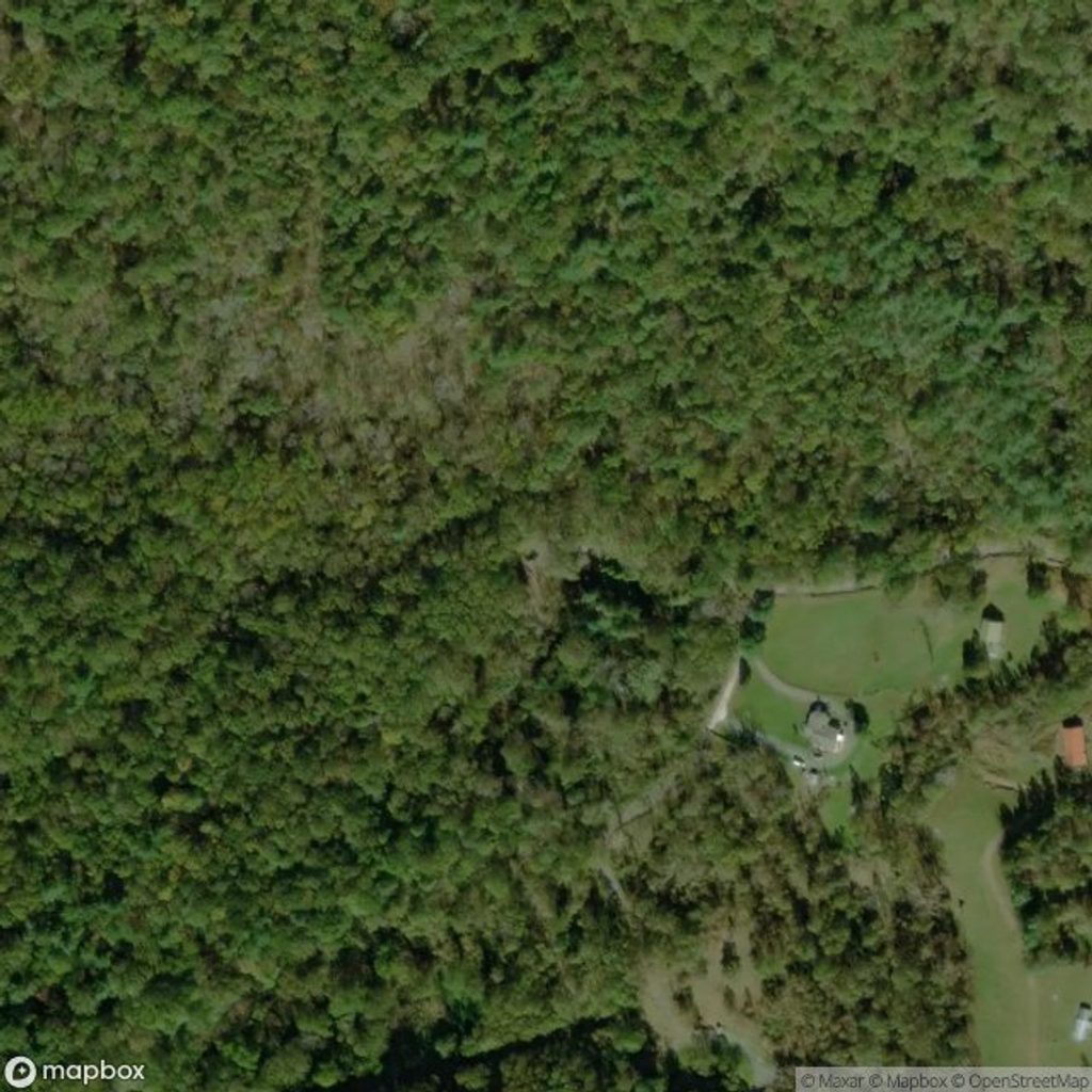
Challenging · 0 mi away
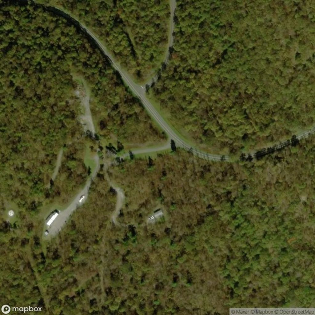
Moderate · 2.3 mi away
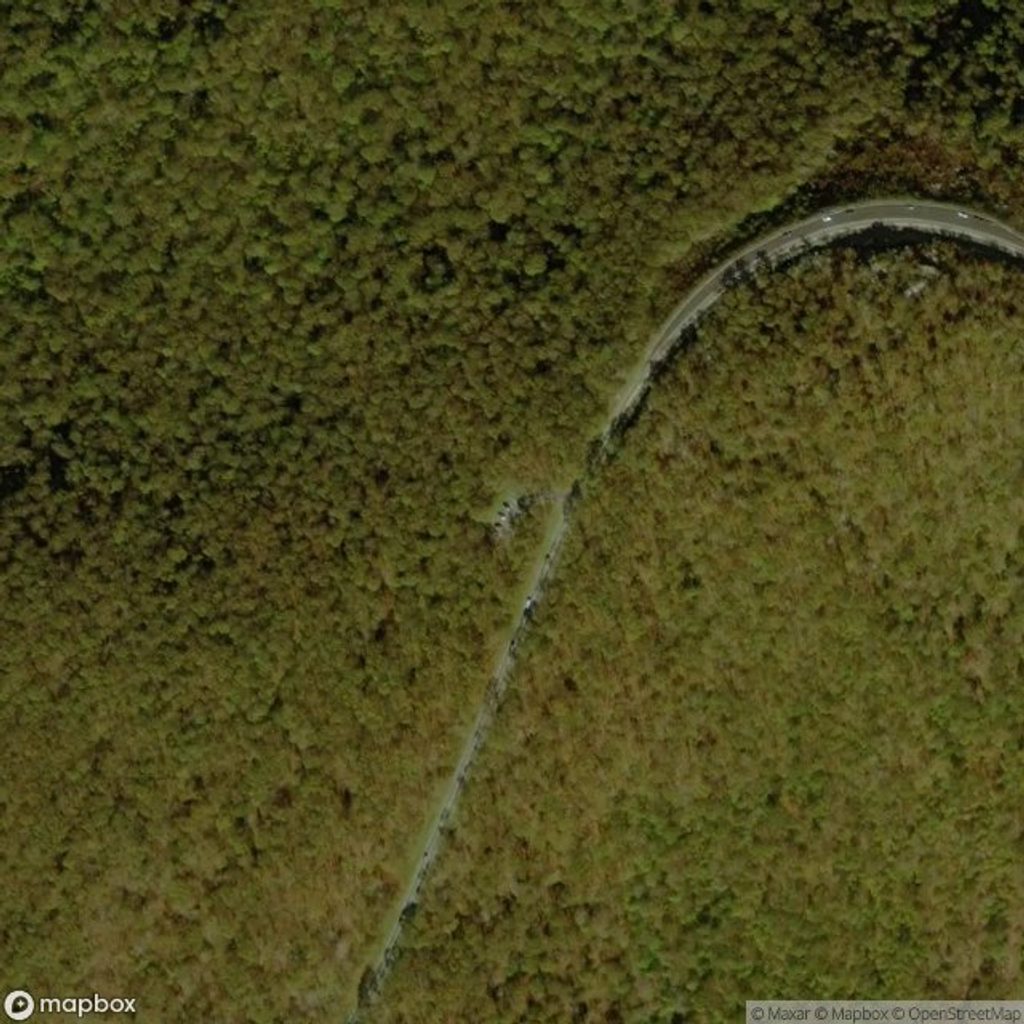
Challenging · 2.5 mi away
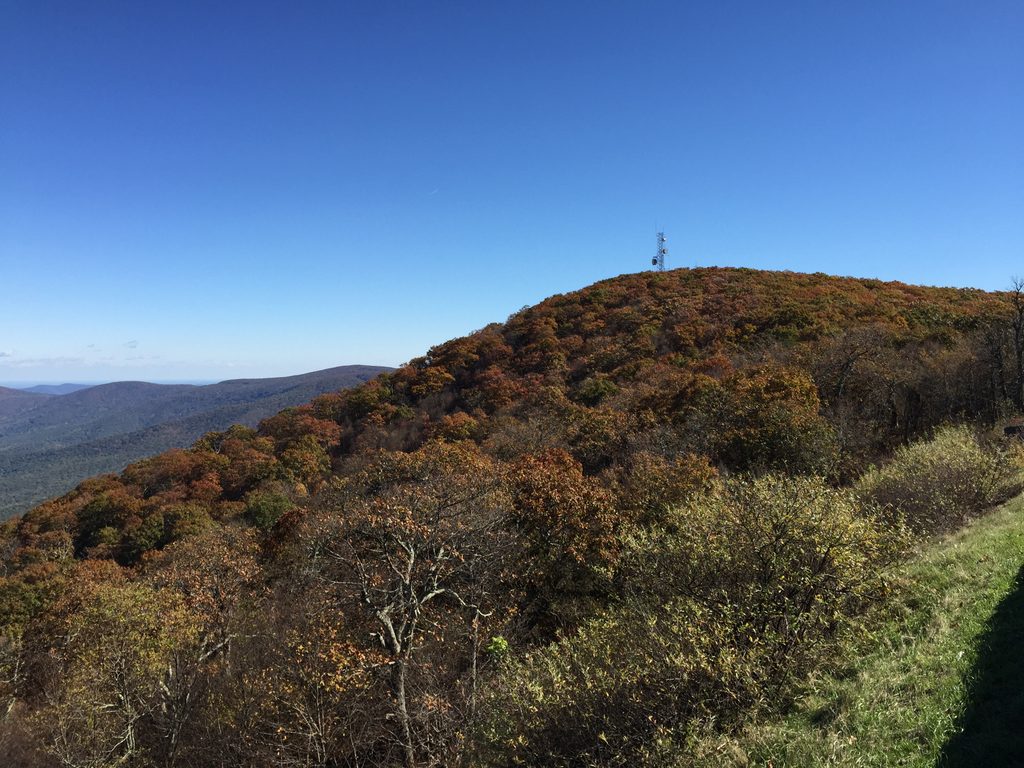
Moderate · 2.5 mi away

Parkwolf Tour Guide
