
Place
Moderate
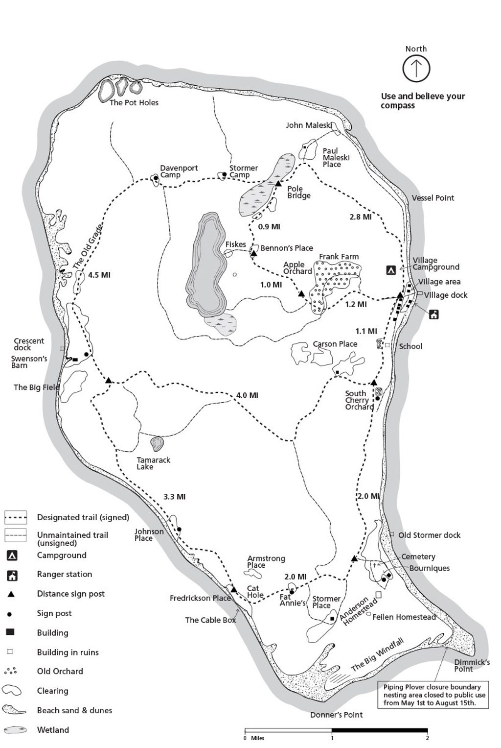
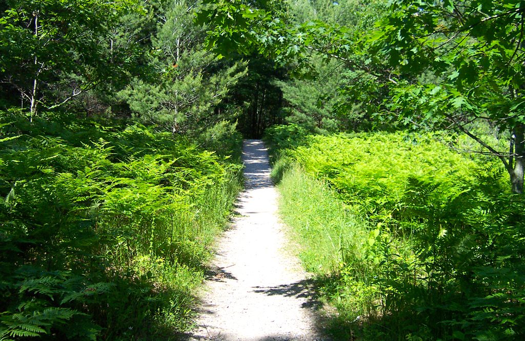
The North Manitou Island Loop is a wilderness backpacking circuit that stitches together the island’s maintained trails and shoreline corridors. Expect a classic Great Lakes experience: forested singletrack, open meadows, dune‑and‑bluff country, and long, empty Lake Michigan beaches. Typical loop variants run about 23–24 miles total, with the network allowing 20–30 miles depending on your choices. Terrain is largely gentle, but soft sand, pack weight, and a few dune climbs make it feel moderate over multiple days.
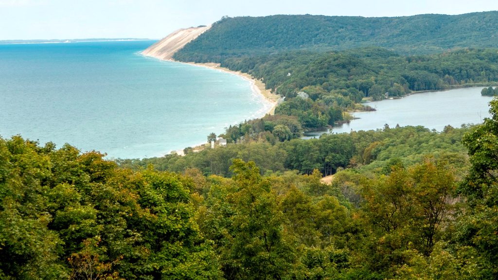
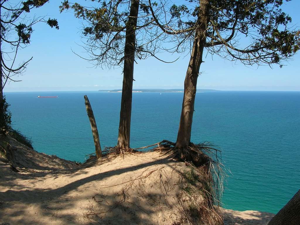
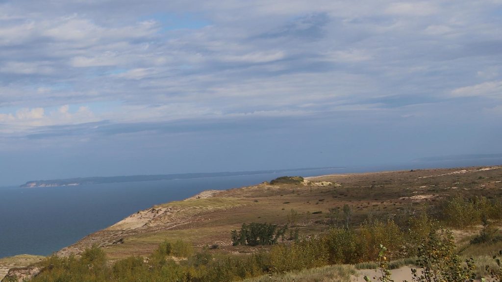
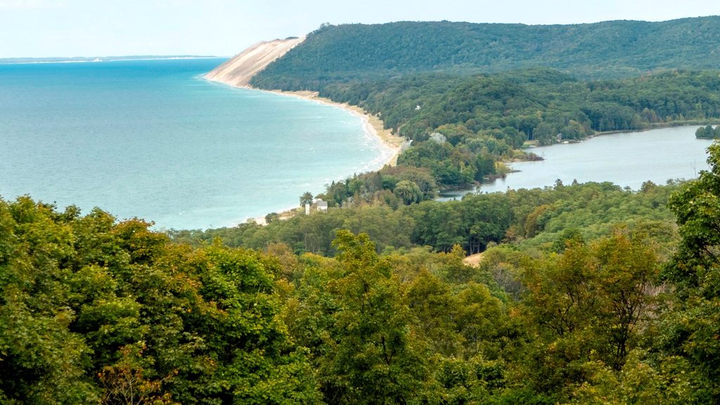
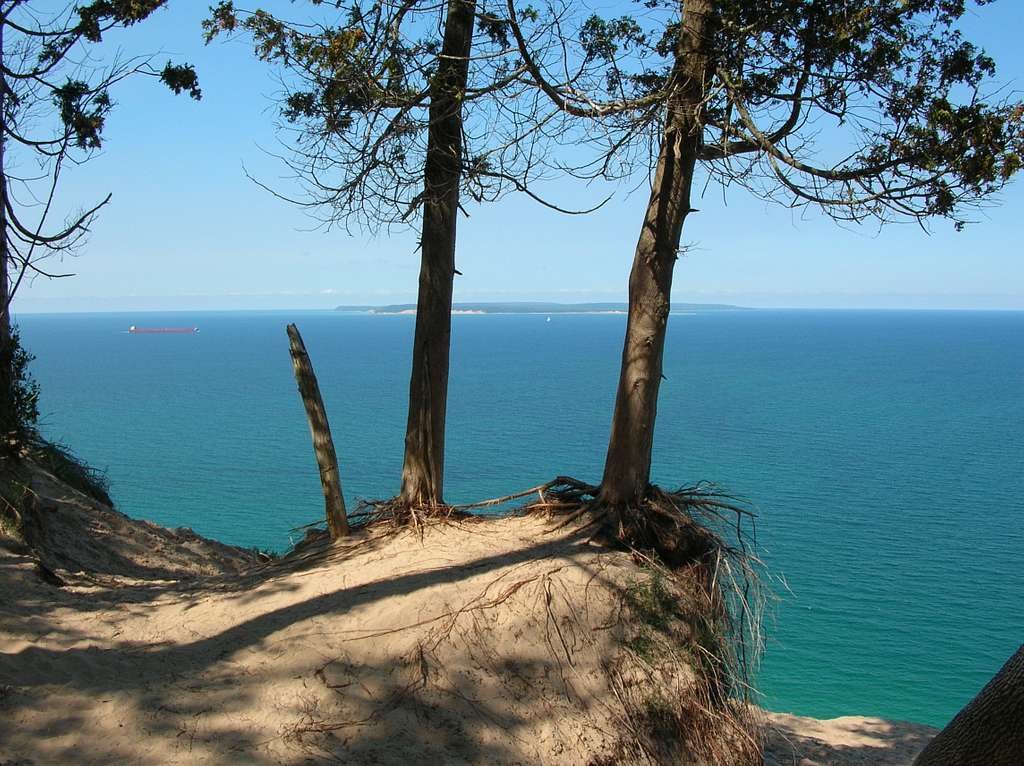
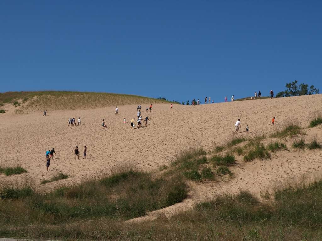
Scenery swings from hardwood‑and‑evergreen Northwoods to windswept bluffs and rocky or sandy shorelines with striking, Caribbean‑blue water. The northwest bluffs in particular deliver big, panoramic sunset views. Inland, Lake Manitou offers a quiet change of pace and reliable water, though swimming there is discouraged due to swimmer’s itch. Along the loop you’ll pass remnants of the island’s 19th‑century settlements—think weathered structures like Swenson’s Barn and traces of the old village. On the south side, rock hunting and beachcombing near historic homesteads (like Fredrickson and Johnston places) are part of the fun.
Wildlife tends to be more about moments than megafauna: expect white‑tailed deer browsing the edges and plenty of birdlife, with shorebirds and other species frequent along the coast. The island’s geology—glacial sands, bluffs, and dunes—shapes the hike: footing is mostly dirt and sand with occasional old two‑track, and the bluffy sections remind you you’re walking the edge of a giant inland sea.
Access is only by passenger ferry from Leland. You’ll land at the ranger area on the east shore and head out from there—there’s no driving or on‑island parking. A park entrance pass is required, and overnight backpackers need a backcountry camping permit. Camping is wilderness‑style with a required 300‑foot setback from the lake’s high‑water mark and from trails. Many favorite camps tuck back in the trees near the bluffs or perch above the lake; be ready to haul gear up or down steep, sandy banks to reach some sites.
While the island’s topography is forgiving, soft sand and the loop’s length add up. Most hikers treat this as a 2–3 day trip; strong parties sometimes do it in a very long day. The trail network is straightforward on the main routes, but off‑trail or lesser‑used connectors can be faint—carry a map and compass or GPS if you plan to wander beyond the primary paths. Bushwhacking is allowed, but don’t expect social trails to stay obvious for long.
Treat all water. Lake Manitou is a reliable interior source, and shoreline sources abound, but filtration is mandatory and swimmers’ itch is a known issue in the inland lake. The big lake controls the mood—weather can flip quickly from sunny and calm to windy and chilly. Pack an extra layer for both the ferry crossing and exposed bluffs, even in midsummer. Protect your food from deer and small mammals.
Late spring through early fall is prime. Summer brings warm water and long evenings for bluff‑top sunsets; early autumn adds crisp air, vibrant foliage, and fewer bugs. Spring has wildflowers and quieter beaches but more variable weather. Ferries operate seasonally—plan your itinerary around the boat schedule and give yourself buffer time if the lake kicks up.
No on‑island parking. Access is by passenger ferry from Leland; trips start and end at the ranger dock on the east shore.
Rapid weather shifts on Lake Michigan, exposure on bluffs, steep sandy banks to reach some camps, swimmers’ itch at Lake Manitou, treat all water, protect food from deer and small mammals, and expect seasonal ferry schedules.
Place
Place
Place
Place
Moderate
Moderate
Challenging
Challenging

Parkwolf Tour Guide
