
Place
Challenging
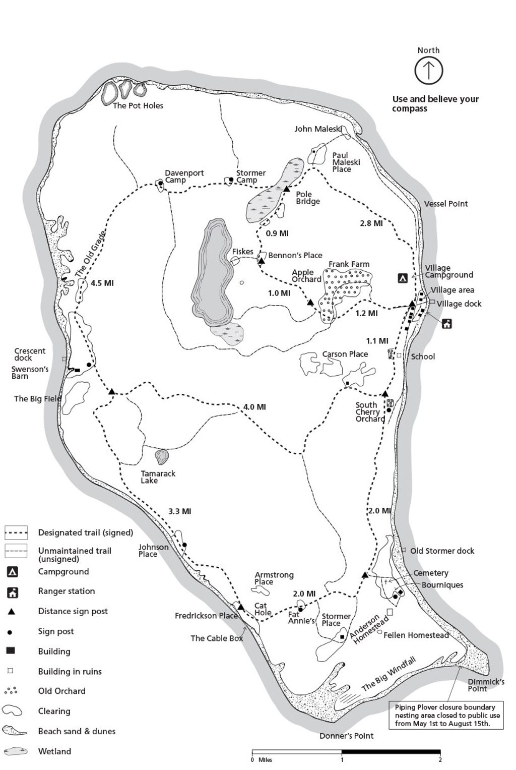
This is the island-circling experience at South Manitou—an informal perimeter loop that links posted trails with long stretches of shoreline. Plan on about 10 miles total if you stick to the beach perimeter; adding inland detours (perched dunes, interior forests, historic sites) can push it well beyond that. Most hikers need 5–7 hours for the 10‑mile version, and the effort feels bigger than the mileage thanks to soft sand and exposure.
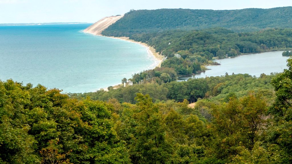
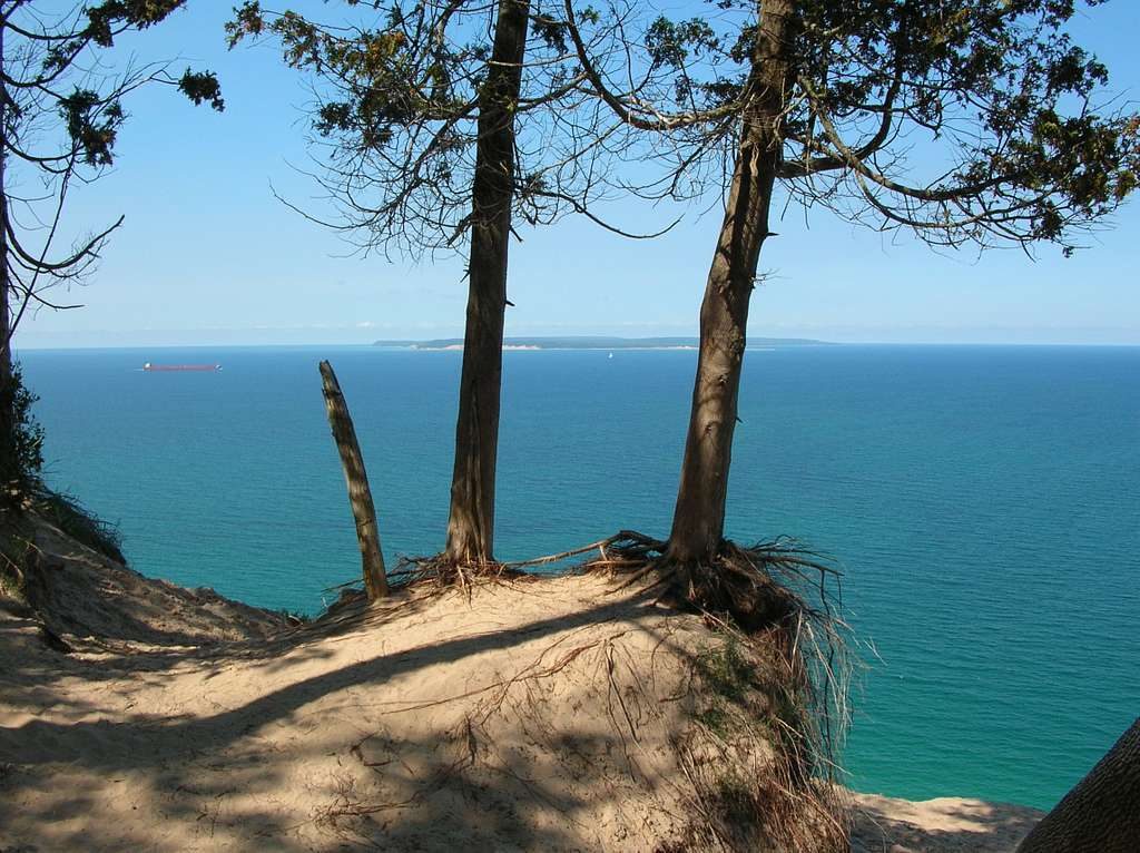
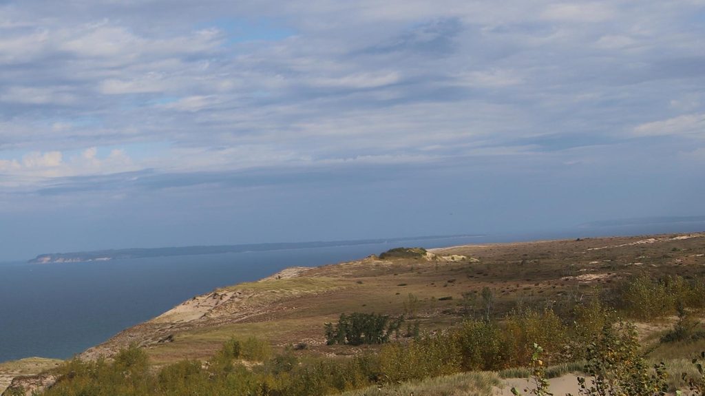
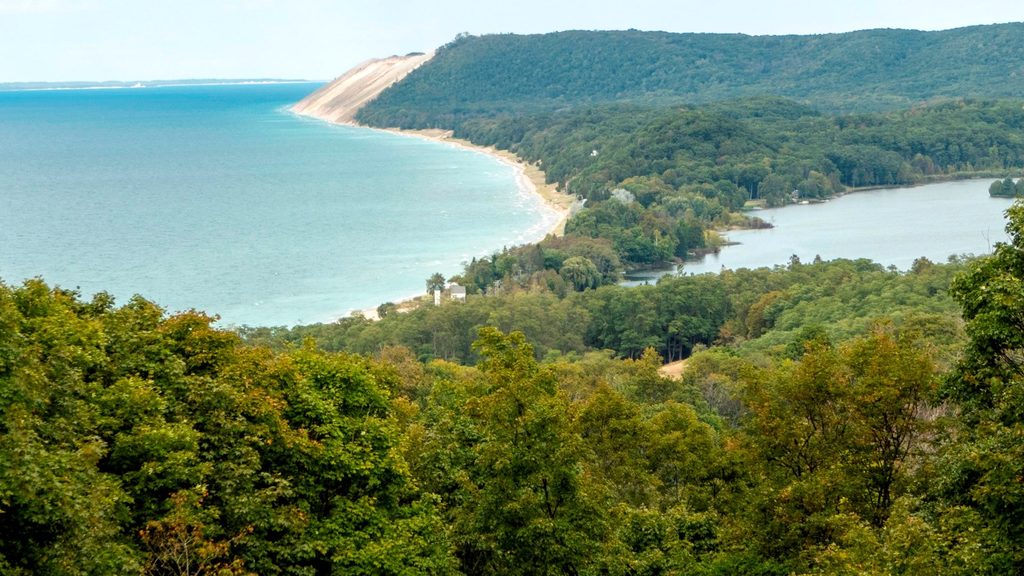
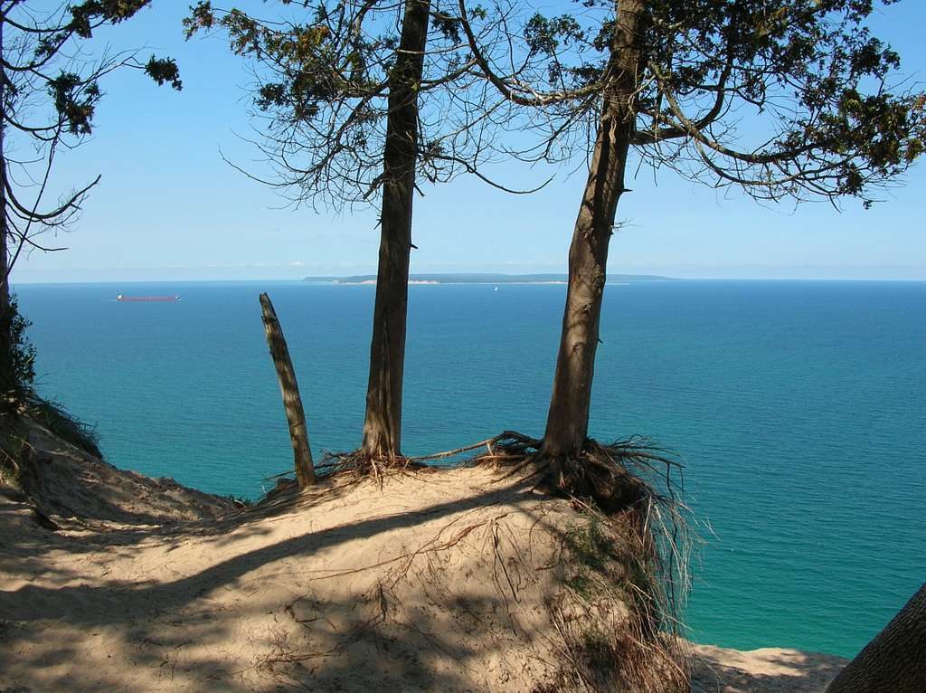
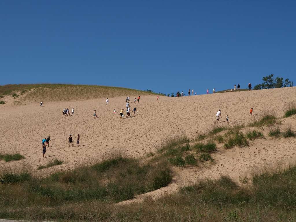
The west side is the showstopper: perched dunes and high bluffs rising over 400 feet above Lake Michigan deliver wide‑open horizons and sightlines to North Manitou Island, the mainland dunes, Crescent Bay, and the island’s lighthouse. Along the shore you’ll alternate between firm and soft sand with occasional pebbly or rocky sections, driftwood‑strewn beaches, and clear, cold water. Historic layers are everywhere—lighthouse and lifesaving station structures near the dock, old farmsteads in the interior, and offshore shipwreck remnants (notably near the south and west shores). Inland connectors thread through mixed hardwood and evergreen forest, meadows, and wet patches that bloom with wildflowers in season.
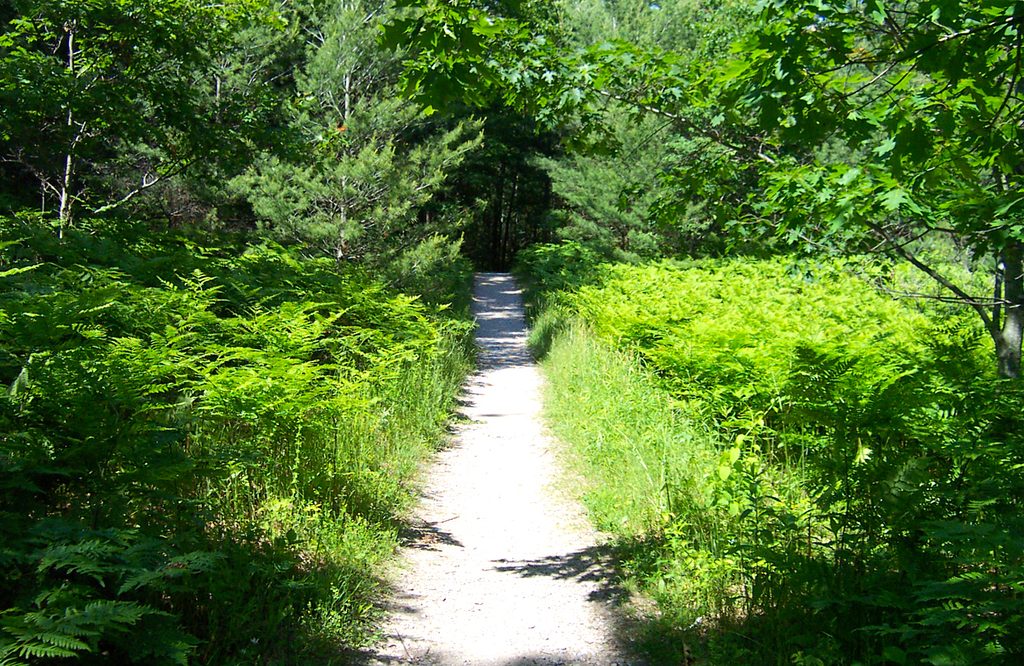
Expect solitude once you’re beyond the dock area—this feels like true Great Lakes backcountry. Walking on sand is the crux: it’s a calf‑burner and slows your pace, especially in windy, exposed sections. Where the route climbs into the perched dunes, the footing is steep and sandy but well worth it for the island‑wide views. Vegetation, including poison ivy, can encroach on dune paths. Overall elevation gain is modest if you stay on the beach, but any dune detours add punchy ups and downs.
There’s no drive‑up trailhead here—you reach the island only by passenger ferry from Leland, and your day must fit the ferry schedule. A full 10‑mile perimeter is possible in a day if you move efficiently; backpackers can spread it out using the designated island campgrounds. There are no services along the perimeter: no potable water, no food, and no stores. Pets are not allowed on the island. Park entrance fees apply, and camping requires a backcountry permit.
Late spring through early fall is the sweet spot when ferries run reliably and the weather is friendlier. Summer brings the warmest temps—and more mosquitoes and flies—while fall swaps bugs for crisp air and color. Aim for clear days if the bluffs are on your hit list; visibility makes the views pop. Start early to bank time for the ferry and to take advantage of cooler temps and softer light on the west‑side dunes.
Poison ivy is common in dune corridors; long pants help. The route is exposed to wind and sun, and there’s little shade on the beach. Carry all the water you need, and build a buffer for ferry timing—missing the boat is a bad day.
No road access; arrive by passenger ferry from Leland and start near the island’s main dock.
Plan around the ferry schedule; carry all water and food—there are no services. Expect long stretches of soft sand, wind exposure, rocky shoreline pockets, and poison ivy on dune paths. Seasonal shore detours may be in place for protected nesting areas.
Place
Place
Place
Place
Moderate
Moderate
Moderate
Challenging

Parkwolf Tour Guide
