Parking
Use the gravel trailhead lot on Wilco Road off M-22. A vault toilet and picnic table are at the trailhead; water is not. A National Lakeshore entrance pass is required for trail use.
#1 of 34 trails in Sleeping Bear Dunes
Sleeping Bear Dunes National Lakeshore, MI
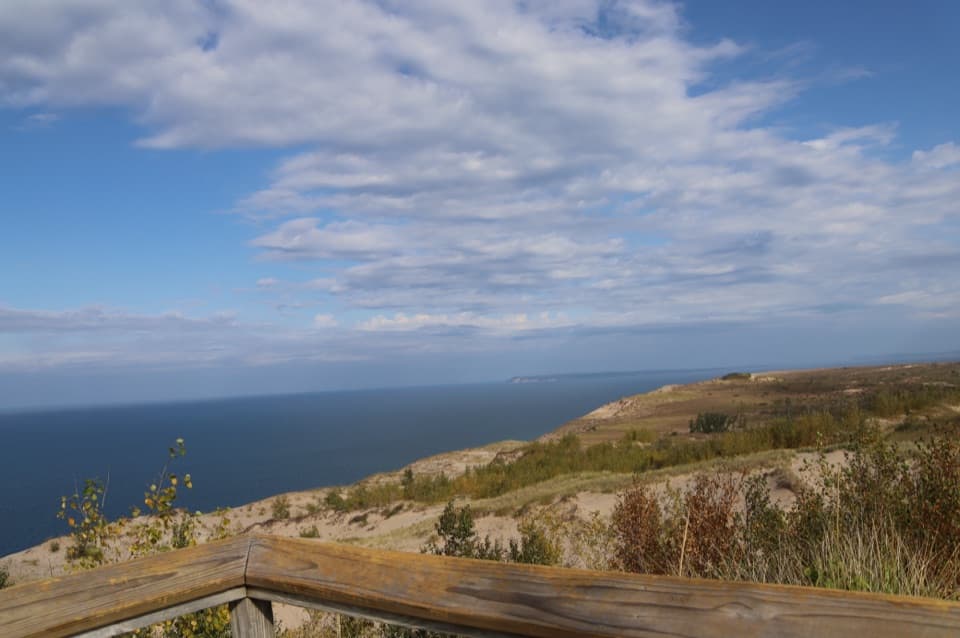
A short wooded climb to the Lake Michigan double-dune view.
Overview
Empire Bluff Trail is a 1.5-mile out-and-back from the Wilco Road trailhead to a bluff-top boardwalk and back. It climbs through beech-maple woods and an old orchard area before opening onto a high Lake Michigan overlook with the park’s double-dune view. I’d make time for it if you want a short walk with a big panorama; it feels like a real hike because the trail rolls over hills and includes stairs. Allow about an hour so you can stop at the bench and the overlook. The route ends on the bluff, not the beach.
 Parkwolf’s verdictIs this hike for you?
Map & elevation
Plan your hike

The highest, rockiest slopes around here are a summer buffet for grizzly bears.
Sleeping Bear Dunes Tour Guide
Parkwolf is a GPS audio tour guide for Sleeping Bear Dunes National Lakeshore. As you drive, it chimes in with what’s ahead: hidden gems, upcoming stops, history, geology, and wildlife, right through your car’s speakers.
See the Sleeping Bear Dunes audio tourRecorded for this trailhead
Empire Bluff: A Wooded Walk to the Lake“The Empire Bluff trailhead is coming up, with a wooded hike to a boardwalk overlooking Lake Michigan and the curving shoreline.”
Plays as you drive up to this trailhead in the Parkwolf Sleeping Bear Dunes Tour Guide.
More stories near here in the app
“Fantastic app with many points of information… It’s great to just turn on while you’re driving and it gives you an audio tour of the national Park. We love it!!!!”


Trail guide
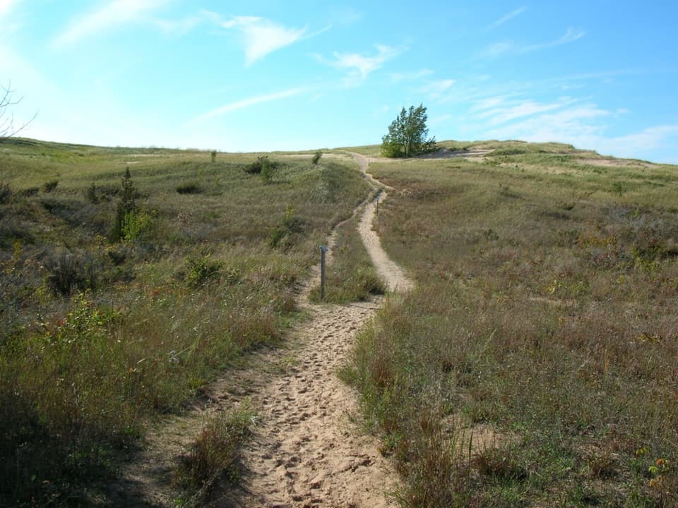
Expect a series of hills and dips rather than one long climb. Most of the route is shaded forest; the open sections and bluff top are sunnier. It’s a moderate walk with several hills and some built-in steps, so the short mileage doesn’t make it a flat stroll. The wooden boardwalk is the final approach and observation area. Keep to it: stepping down the steep bluff risks a fall and damages the slope.
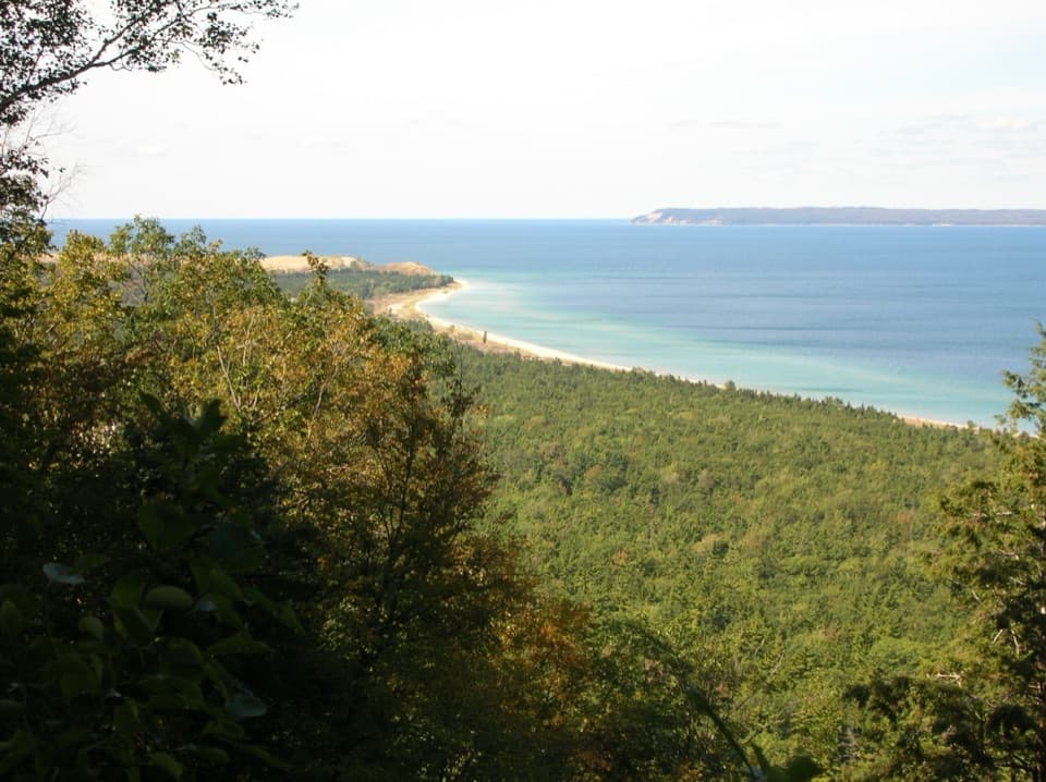
About half a mile from the lot, a bench opens to a northward view over South Bar Lake and across Platte Bay toward Sleeping Bear Dune. It’s a good place to stop on the way up, but it isn’t the final overlook. South Bar is a bar lake: wind and currents built sand across a bay, and vegetation later helped hold the divide. The inland water, Lake Michigan, the beach and the dunes make this first view different from the broad panorama at the top.
The numbered stops turn the walk into a short natural-history lesson. Scattered boulders are glacial erratics; the last glacier left this area about 11,800 years ago, burying older bedrock beneath thick deposits and leaving hills and hollows. Through the woods, you’ll see beech, sugar maple and red maple, with white pine mixed in. In spring, trillium, bloodroot and Dutchman’s breeches can bloom before the canopy fills in. Summer leaves make much of this section shady.
Among the early stops is a rusting McCormick-Deering No. 7 horse-drawn mower, built between 1929 and 1940 and designed to cut a five-foot swath. It’s an unexpected piece of farm history on a sandy, wooded slope. Farther along, the trail passes an old orchard area: Empire Lumber Company planted orchards on logged-over land around 1910, and some apple and plum trees now in the meadow may have grown from fruit discarded there. The numbered posts explain what you’re seeing, so take a moment with them instead of treating the climb as a straight shot to the view.
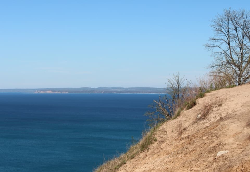
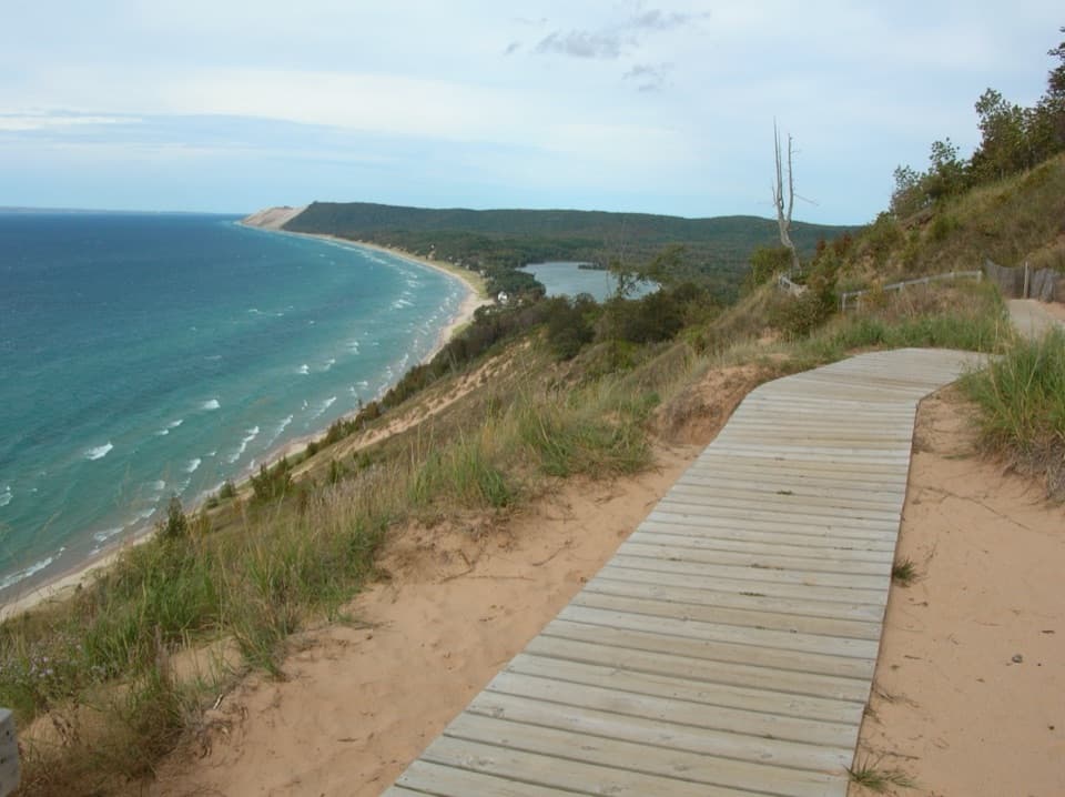
At the end, the boardwalk runs along the bluff to the observation area. This perched dune is sand over glacial moraine, and the bluff rises about 400 feet above Lake Michigan. Look across the lake toward South Manitou Island and Point Betsie, and along Platte Bay, South Bar Lake and the Sleeping Bear Dune plateau. How much of that outline you can see depends on visibility. The boardwalk and sweeping shoreline make the best photo stop; the closer lake view from the halfway bench gives you a different frame.
The trailhead is the lot on Wilco Road off M-22. It has a vault toilet and picnic table, but no water. A National Lakeshore entrance pass is required for trail use. Leashed pets are allowed; keep them on a leash no longer than six feet. The short distance and shade suit many families, but hills and steps make this a poor pick if you need a level path. Stay on the marked route and turn around at the boardwalk; descending the bluff is unsafe and erodes the face.
Wildlife
 27 sightingsPiping PloverMost seen around 6 PMSighting map
 70 sightingsBald EagleMost seen around 10 AMSighting map
 56 sightingsWhite-tailed DeerMost seen around 6 AMSighting map
 68 sightingsSandhill CraneMost seen around 7 AMSighting map
 58 sightingsPorcupineMost seen around 8 PMSighting map
 31 sightingsLoonMost seen around 5 PMSighting map
Sighting maps show where each species has been reported across Sleeping Bear Dunes. Wildlife moves, so no sighting is guaranteed.
Keep exploring
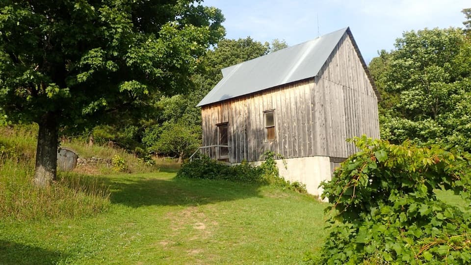 EasyTreat Farm Trail1.2 mi · 1 hr · 0.5 mi awayA short woods walk reaches a barn rebuilt piece by piece.
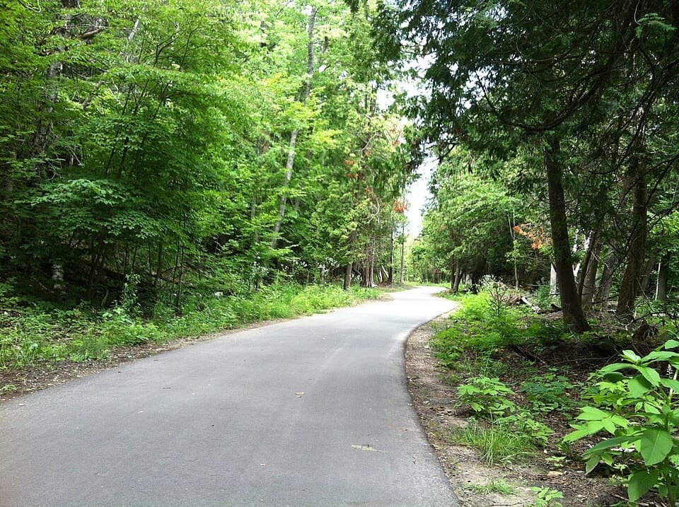 ModerateSleeping Bear Heritage Trail20 mi · 9 hr · 2.1 mi awayA long, varied route through dunes, village streets and farm country.
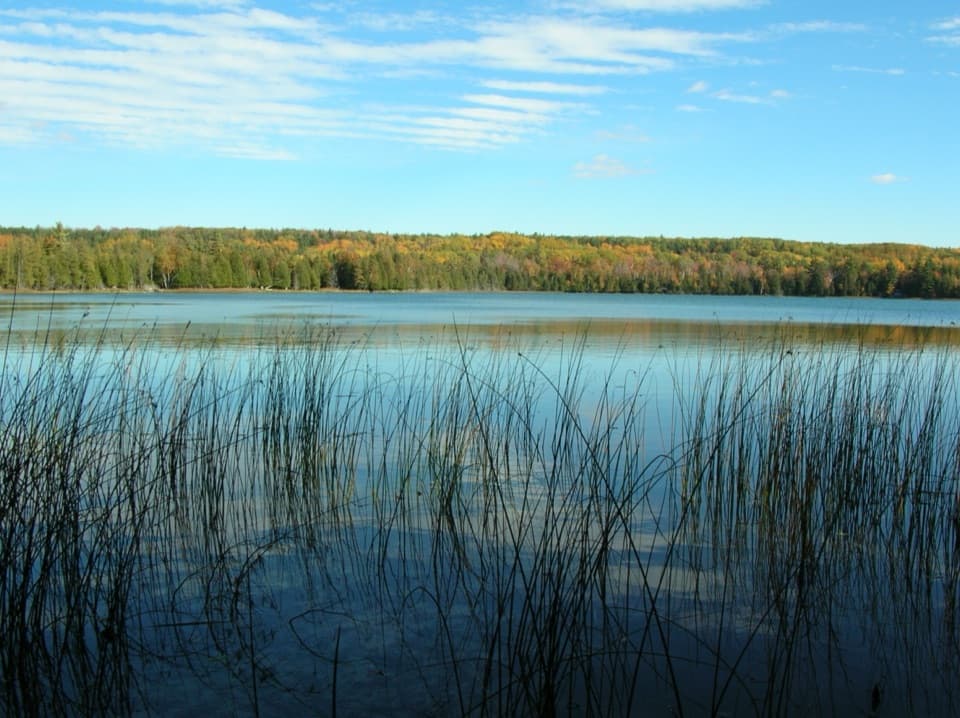 EasyOtter Creek Loop4.6 mi · 2.3 hr · 2.7 mi awayA flat forest loop meets Otter Creek and old Aral's dock pilings.
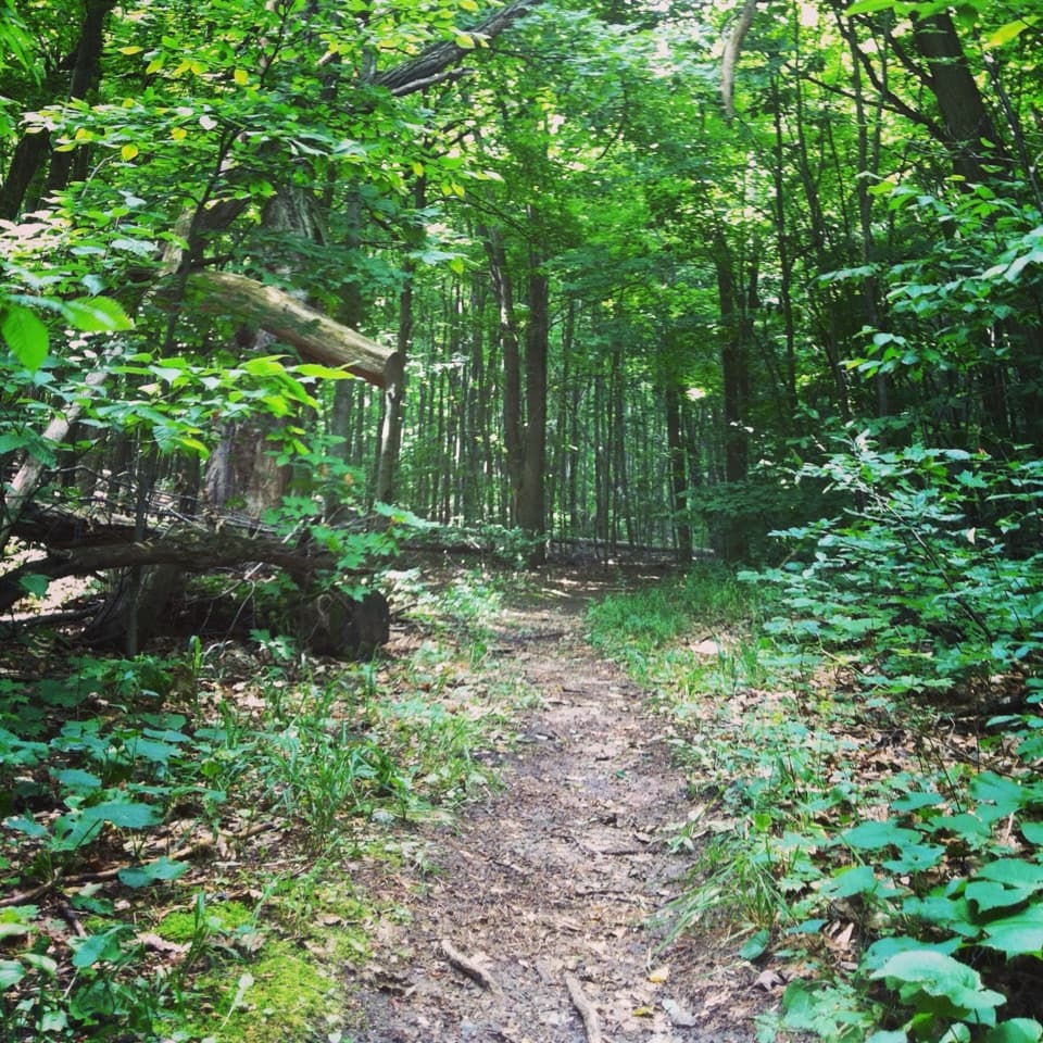 ModerateShauger Hill Trail2.4 mi · 1.3 hr · 3.8 mi awayA shaded woodland loop for wildflowers, without lake views.
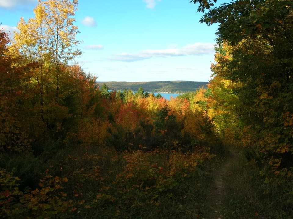 ModerateWindy Moraine Trail1.5 mi · 1 hr · 4 mi awayA short hill loop for a Glen Lake glimpse and forest stories.
 EasyBass Lake Loop3.5 mi · 2 hr · 4.3 mi awayAn easy 3.5-mile circuit through forest, lake, and wetland
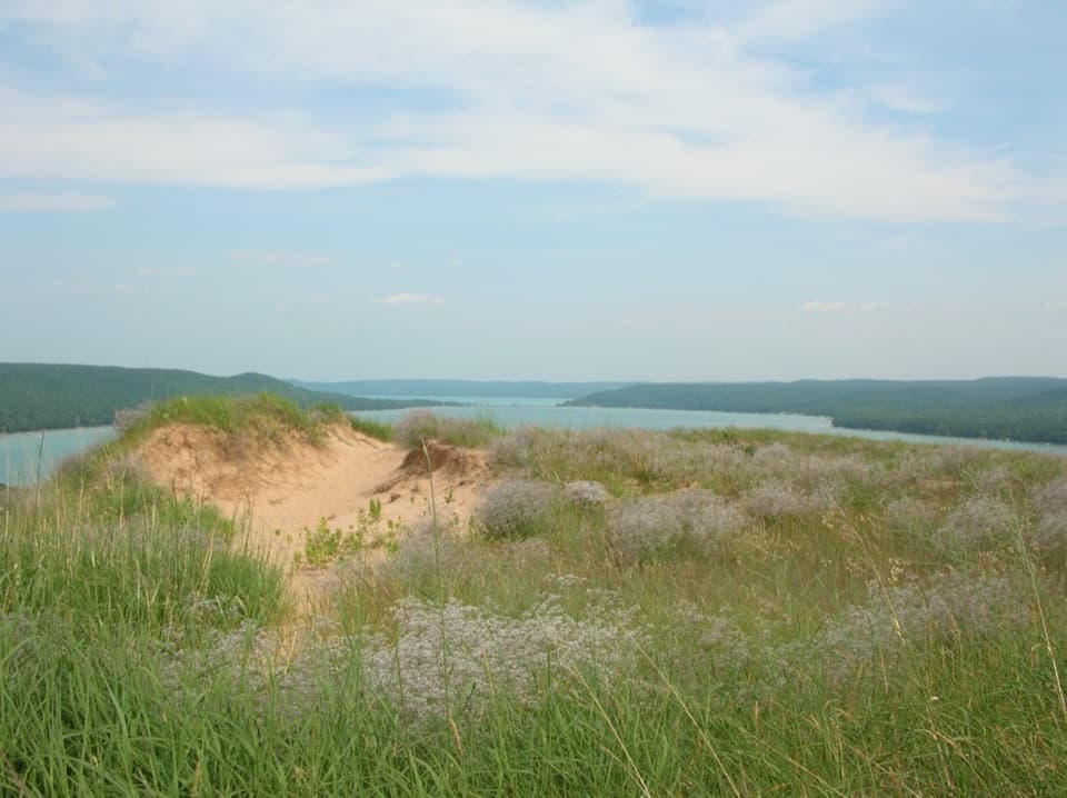 ModerateCottonwood Trail1.5 mi · 1 hr · 5.1 mi awayA marked dune loop reaches a bench above Glen Lake.
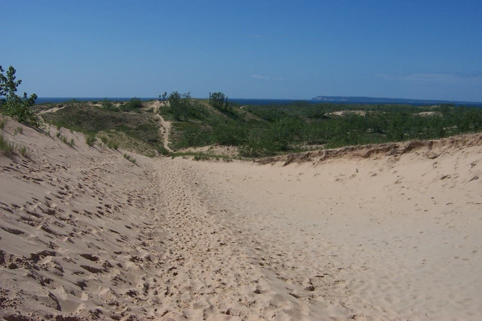 ChallengingDunes Hiking Trail3.5 mi · 3.5 hr · 5.8 mi awayNine sandy hills stand between you and Lake Michigan.
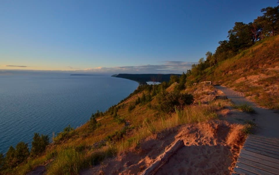 Sight · 0.7 mi awayEmpire Bluff OverlookA boardwalk panorama worth the hilly 1.5-mile walk.Sight · 0.8 mi awayCharles & Martha Treat FarmA half-mile walk to a farmstead full of ingenious buildings.
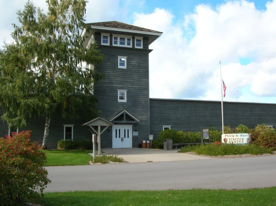 Visitor center · 0.9 mi awayPhilip A. Hart Visitor CenterA smart first stop for maps, ranger advice, and park context.
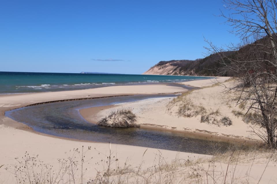 Beach · 2.6 mi awayEsch BeachA sun-warmed creek meets Lake Michigan at this beach.
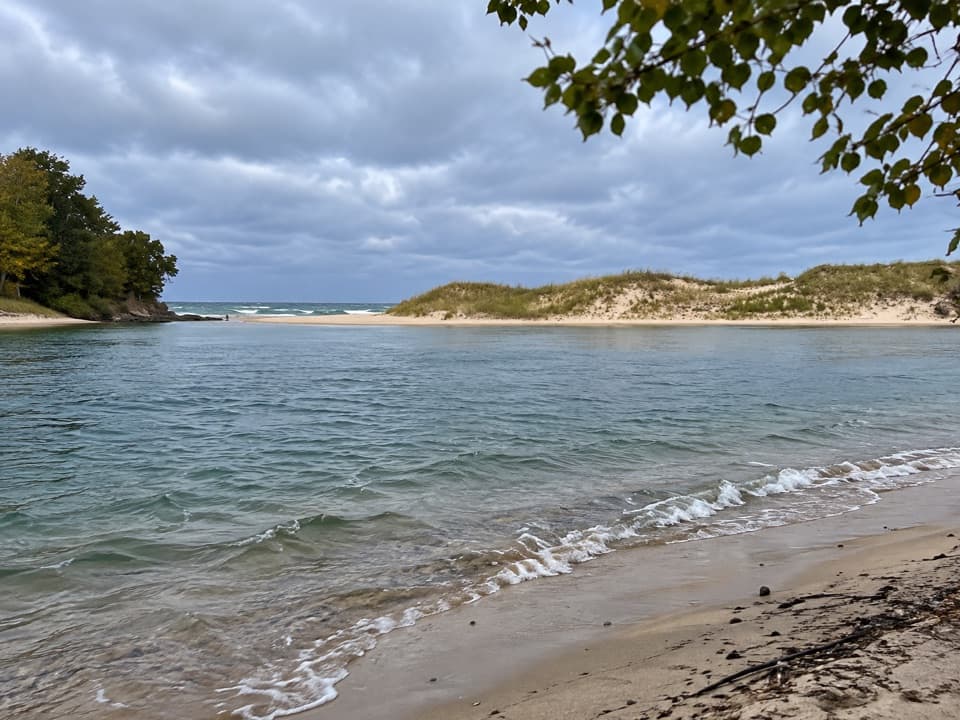 Beach · 3.1 mi awayNorth Bar BeachTwo very different swims sit a short walk apart.
 Sight · 3.7 mi awayNorth Bar Lake Overlook and Picnic AreaSmall lake, sandy bar, and Lake Michigan in one wide view.
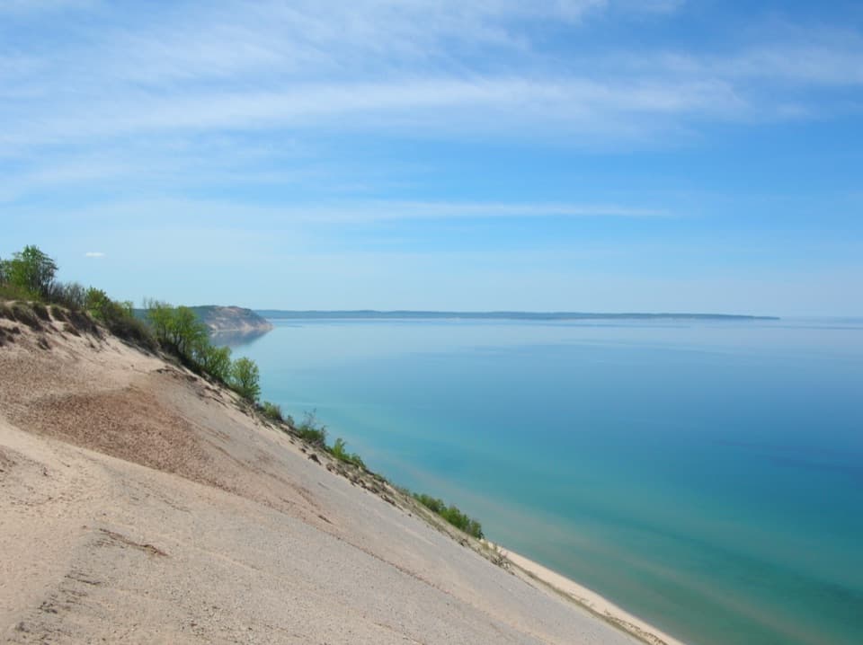 Sight · 4.1 mi awayLake Michigan OverlookLake Michigan opens up from 450 feet above the shore.
 Sight · 4.2 mi awaySleeping Bear Dune OverlookSee the namesake dune a mile away, perched above Lake Michigan.
Parkwolf’s Sleeping Bear Dunes ranking
The audio tour guide for the drive, plus offline maps, trails, and wildlife heatmaps for when the signal drops.