
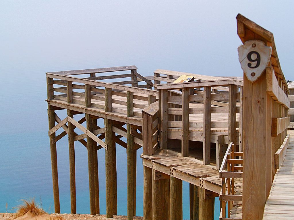
Place
Easy
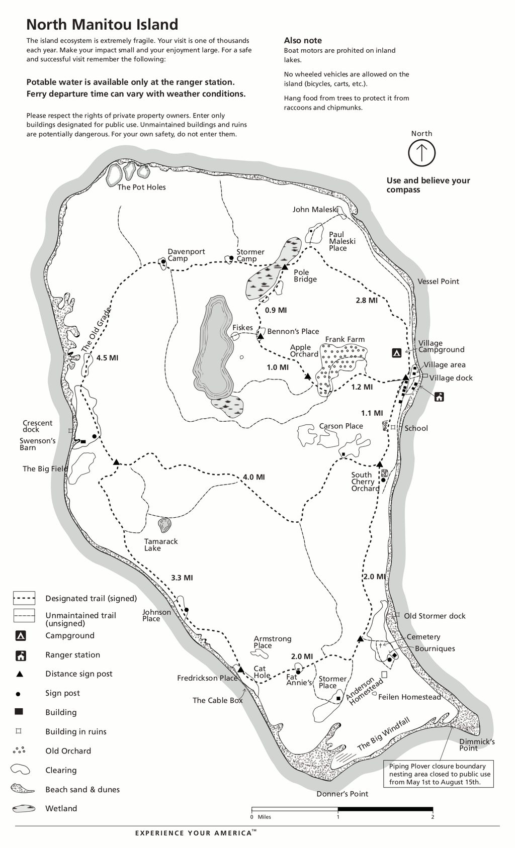
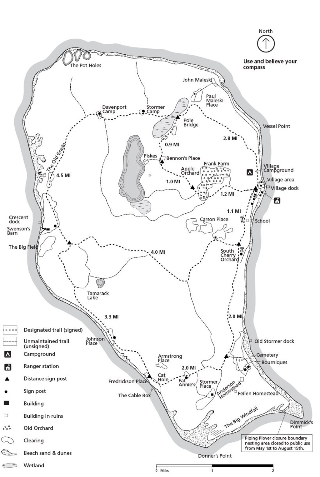
This is a true island-backcountry experience: a network of roughly 23 miles of maintained footpaths threading through hardwood forest, old farm fields, and shoreline bluffs on North Manitou Island. Expect mostly gentle grades and easy-to-moderate hiking, with sandy dune stretches adding short, tougher bits. It’s quiet, undeveloped, and wonderfully self-reliant—no cars, no stores, and no permanent residents.
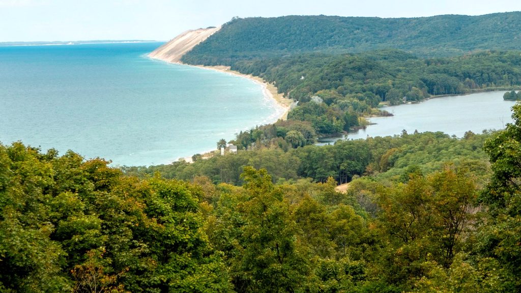
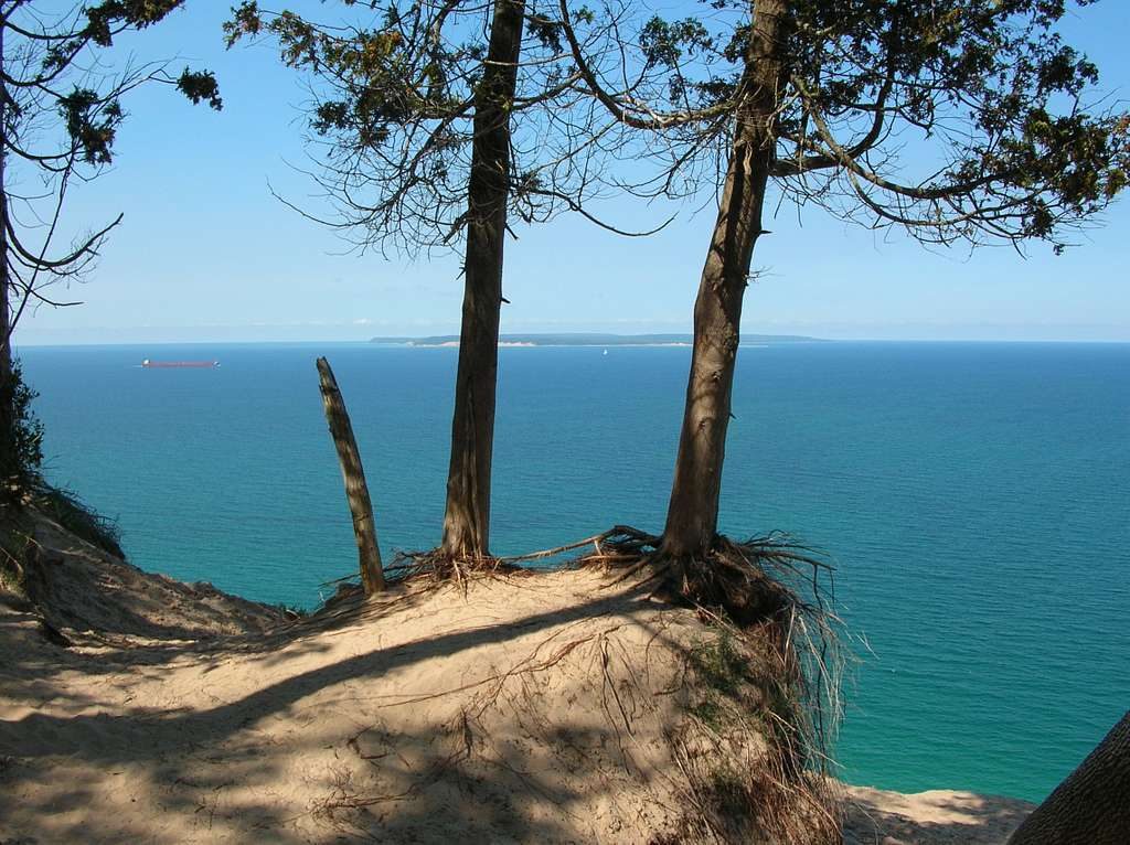
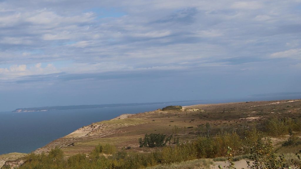
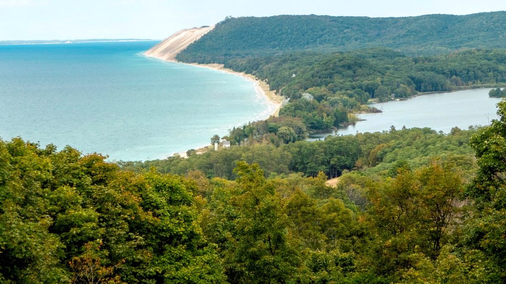
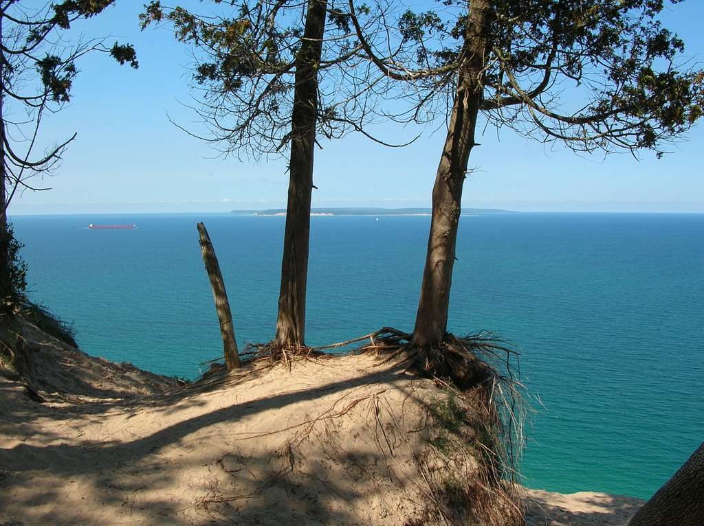
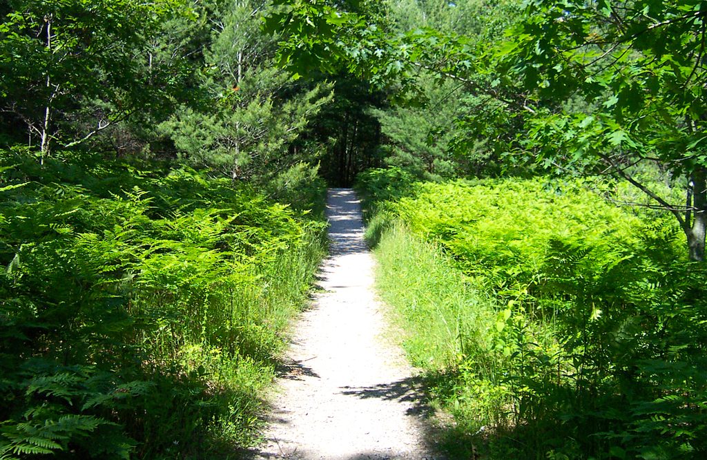
The main routes wander through classic Great Lakes maple–beech forest before breaking into sunny clearings that used to be farm fields. Several segments ride bluffs with big Lake Michigan vistas and access to broad, secluded beaches. You’ll pass remnants of the island’s lumbering and farming era—abandoned farms, a historic village site, and other scattered relics. Keep an eye out for varied birdlife (cormorants congregate at the offshore lighthouse crib you’ll pass on the boat ride) and notice how glacial deposits shaped today’s sandy bluffs and dunes. The island’s rugged northwest corner rises to nearly 1,000 feet above the lake, though most maintained routes stay on friendlier terrain.
Trails are maintained by rangers and generally level, making this a great place to stitch together day hikes or a multi‑day backpacking loop. Staying on the maintained routes is the easiest way to travel, but bushwhacking is allowed if you want wilder exploration. Print and carry an island map; it’s useful for linking forest, field, and bluff sections and planning around dune stretches.
Access is by passenger ferry from Leland, Michigan. Crossings can feel chilly even in summer, so pack a warm layer for the boat. There are no stores or food services on the island—carry all supplies, including food and water. A park entrance pass is required for all visitors; overnight trips must follow the island’s backcountry camping permit procedures. Emergency response is limited and may be slow, so travel prepared and self-sufficient.
Late spring through early fall is the sweet spot for comfortable temps and full access. Summer and fall bring mosquitoes, biting flies, and ticks—wear protective clothing and bring repellent. Winter travel is possible but conditions and limited services make it a trip for experienced, fully prepared parties. For photography, aim for late‑day light along the western bluffs—sunsets over turquoise water can be outstanding.
Length note: This is a maintained network totaling about 23 miles; your actual mileage depends on the segments you link. Most hikers piece together their own routes for day trips or 1–3 day backpacks.
No on-island parking; reach the island by ferry from Leland, Michigan.
No stores or potable water sources—carry all supplies. Limited emergency response; plan conservatively around ferry times. Summer/fall bugs are intense; bring repellent and protective clothing. Boat crossings can be cold even in warm weather.
Place
Place
Place
Place
Moderate
Moderate
Challenging
Moderate

Parkwolf Tour Guide
