
Place
Moderate
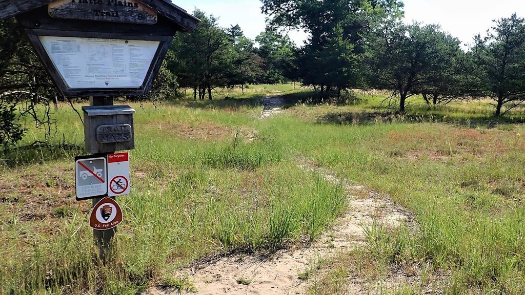
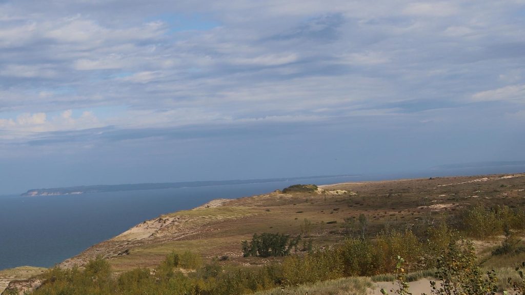
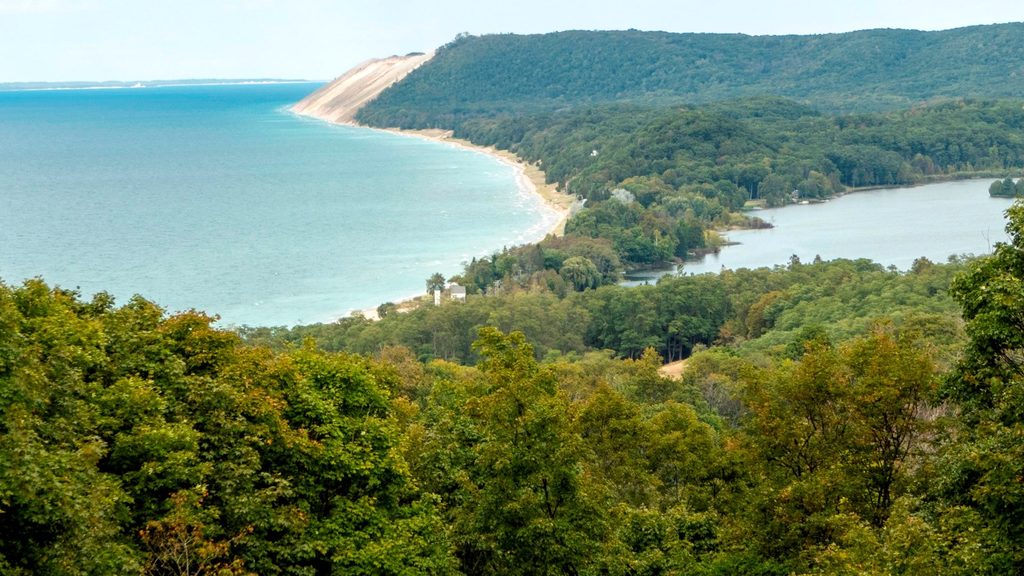
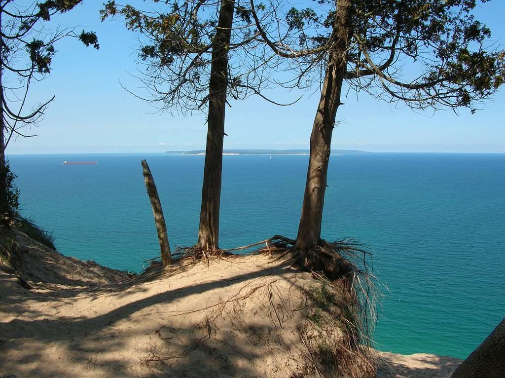
This is Sleeping Bear Dunes’ big, quiet playground: nearly 14.7 miles of interconnected loops wandering through pines, oaks, and open plains with frequent lake moments. Think soft forest tread, occasional sandy stretches, and three separate spots to take in Lake Michigan—plus the option to finish with sandy toes at Esch Beach. It’s not one set route but a network you stitch together, so you can craft anything from a mellow 3–5 mile outing to a full-day wander covering most of the system.
The system is anchored by three named loops: the easy-going 3.5-mile Bass Lake Loop, the flat and beginner-friendly 4.6-mile Otter Creek Loop (with creek and lake views), and the Lasso Loop that adds short, steeper hills and the most moderate terrain in the complex. Connect them and you’re approaching the 14.7-mile total. Trails are generally well marked, but not every junction has signage—bring a map and pay attention at intersections.
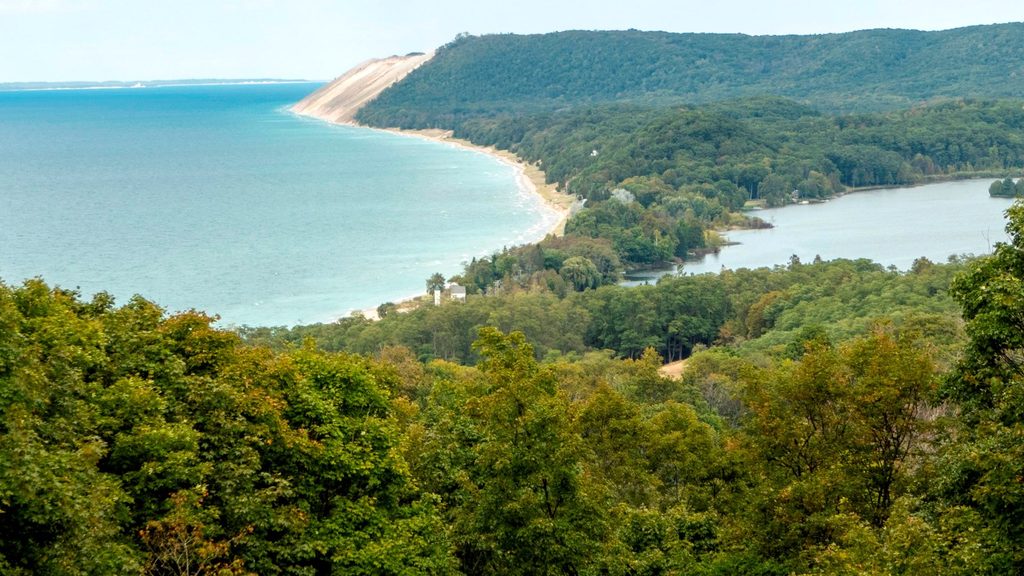
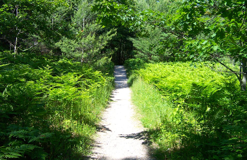
You’ll move through pine–oak–aspen woods and old pine plantations, past wetlands and open fields dotted with seasonal wildflowers. Lakes are the throughline here—Otter, Bass, and Deer—each with tranquil water views and a decent chance of spotting birds and butterflies (and the occasional deer). Benches at scenic spots like Bass Lake make it easy to pause and watch for wildlife. Near Otter Creek, look for old dock pilings—the last trace of the early 1900s lumber town of Aral. And on the west side, those Lake Michigan viewpoints are the payoff; if you time it right, you can end at Esch Beach for a post-hike cool down.
Overall, expect easy to moderate hiking: mostly flat with some short, steeper rolls on the Lasso Loop. Surfaces range from packed dirt to sandy, with damp or muddy patches near wetlands after rain. It’s a quieter corner of the park—perfect if you want big-water scenery without the big crowds.
Spring through fall is prime. Spring and summer bring wildflowers and long light; fall adds color plus ripening wintergreen berries along the fields. Winter travel is absolutely possible on these routes (some sections see ski use), but know that pets are not allowed on the trail from December 1 through March 31. Whenever you go, aim for early morning or late afternoon for better wildlife viewing and softer light on the lakes.
Multiple trailheads serve the system, including Otter Creek (Esch Road), Trails End Road, and the Platte River Campground area; there’s also a winter-only access off M‑22. Some parking areas have a vault toilet, but space can be limited.
Use Otter Creek (Esch Road), Trails End Road, or Platte River Campground trailheads; winter-only access off M‑22. Small lots; some have a vault toilet; limited space for large vehicles.
Navigation is the crux—many junctions and not all are signed. Expect sandy or muddy spots near wetlands; bring bug repellent. No pets allowed Dec 1–Mar 31. No biking anywhere on the system.
Place
Place
Place
Place
Moderate
Moderate
Challenging
Moderate

Parkwolf Tour Guide
