
Place
Moderate
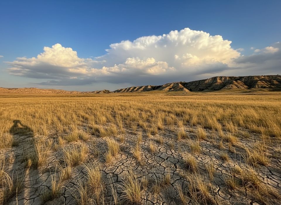
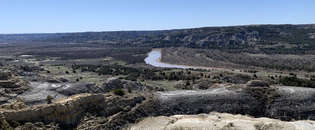
This is the South Unit’s do‑it‑all loop—river bottoms, prairie dog towns, sweeping grasslands, colorful badlands, and a breezy plateau in a single moderate package. The loop is 5.2–5.3 miles total with roughly 534–565 feet of elevation gain, and most hikers take 2–3 hours. Expect a legit adventure feel thanks to mandatory fords of the Little Missouri River and a few rocky or muddy stretches.
Start from Peaceful Valley Ranch and stroll a flat quarter‑mile through riparian forest to your first crossing of the Little Missouri. In low water, you may rock‑hop; in higher flows, plan to wade (ankle to knee‑deep and often muddy banks). Once across, the Ekblom Trail cuts through open prairie and a lively, sprawling prairie dog town, with frequent sightings of mule deer, coyotes, and sometimes feral horses or bison.
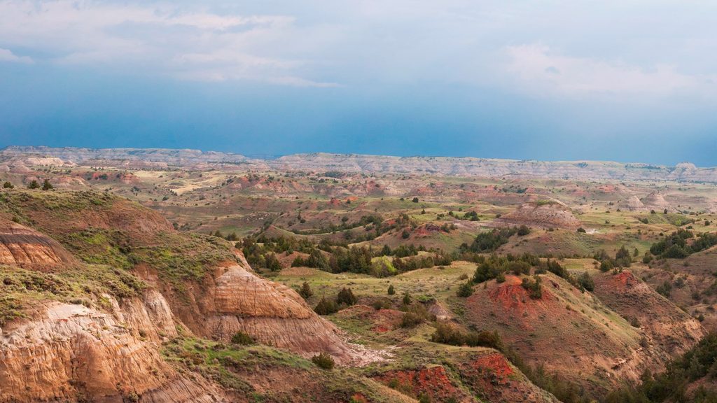
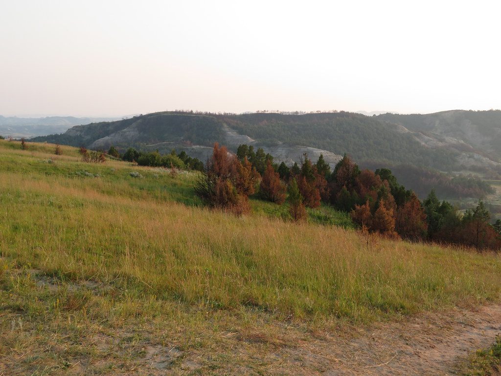
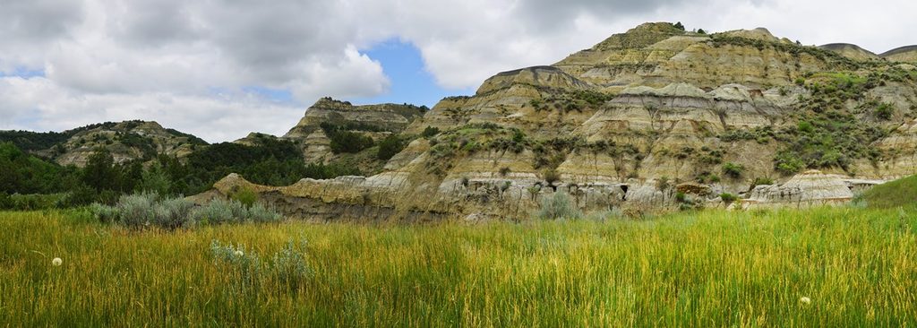
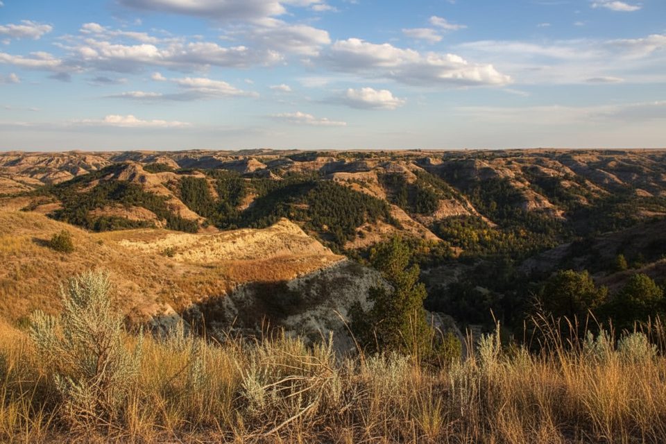
Around 1.5 miles in, the route joins the Maah Daah Hey Trail for a steady climb to Big Plateau. One pitch near the top is notably steep, but the payoff is 360‑degree views over badlands and grasslands. Traverse the plateau on easy walking, then descend through a particularly colorful badlands section—many hikers’ favorite part—before returning to the river for a final ford back to the ranch.
Surfaces vary from smooth dirt to rocky, uneven singletrack, with mud after rain. Water levels change quickly with weather; besides the main river ford at the start/end, a smaller crossing can appear on the Maah Daah Hey segment. Waterproof footwear and trekking poles are smart here.
Bison are common—give them space (at least 25 yards) and never try to pass through a herd. Rattlesnakes are possible, especially summer into early fall; watch where you step and don’t put hands where you can’t see. You’ll almost certainly hear (and see) black‑tailed prairie dogs.
Spring and fall bring milder temps and pleasant light. Summer can be hot with sudden thunderstorms—start early or late, carry ample water, and use sun protection on the exposed plateau. Winter can mean snow, ice, and extreme cold; access and fords become more challenging.
If you want a half‑day hike that delivers classic badlands scenery without huge mileage, this loop is an easy top pick in the South Unit.
Park at Peaceful Valley Ranch (small lot; limited spaces). From the South Unit Visitor Center, it’s about 6.6 miles on East River Road to the ranch. Restrooms are sometimes available at the start.
Two river fords with variable depth/flow; rattlesnakes possible; steep, rocky sections can be slick when wet; minimal shade and fast‑moving summer thunderstorms; give bison at least 25 yards.
Place
Place
Place
Place
Easy
Moderate
Moderate
Challenging

Parkwolf Tour Guide
