Badlands Overlook in Theodore Roosevelt National Park

Sight · Theodore Roosevelt National Park

Badlands Overlook

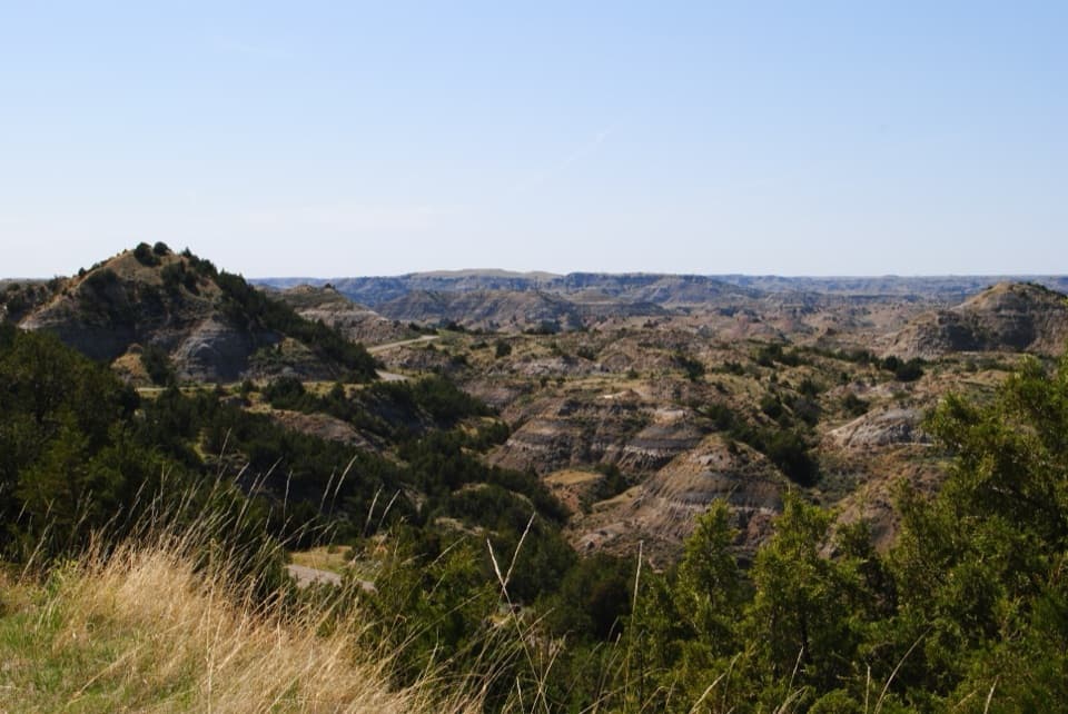
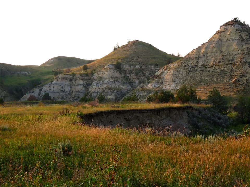
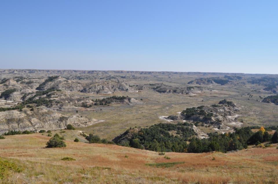
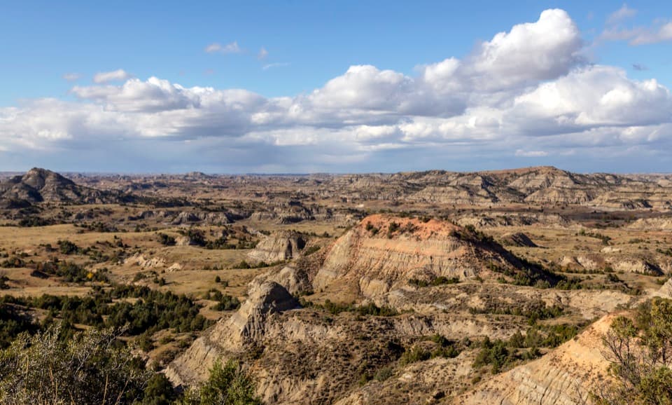
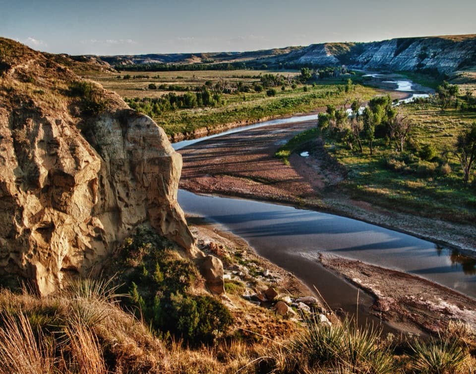
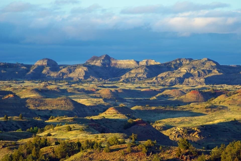
Layered buttes make this the South Unit's panoramic finale.

Photo: National Park Service
Type
Sight
Nearest trail
0.5 mi
Audio stories
5 nearby
  • Pullout
  • Parking
  • Scenic viewpoint
  • Exhibit
  • #11 of 26 sights

Hear the audio tour

Badlands Overlook: A Landscape Hard to Cross

Overview

About Badlands Overlook

Why stop

  • A broad panorama makes the broken badlands easy to read.

Heads up

  • A large butte blocks part of the western view.

Map

Where it is

Loading the Theodore Roosevelt map
Full map
SightBadlands Overlook46.92194, -103.45212
Keep this map with you offline in the Parkwolf app

Plan your stop

Before you go

2 active Theodore Roosevelt alerts

  • ClosureRidgeline Nature Trail inaccessibleThe South Unit’s 0.6-mile Ridgeline Nature Trail is currently inaccessible because of a road collapse. Check current park conditions.Official details
  • InfoPetrified Forest trailhead: use approved routeUse the approved legal route from I-94, Exit 10 toward Camels Hump Lake, and follow the clearly marked posts to the Petrified Forest trailhead.Official details

Theodore Roosevelt alerts
A park ranger sits on a dash-mounted phone, talking, as Parkwolf’s Tour Guide plays “Army Cutworm Moths: A Grizzly Bear Buffet” on Grand Loop Road below Dunraven Pass in Yellowstone
Parkwolf Tour GuideThe highest, rockiest slopes around here are a summer buffet for grizzly bears.

Theodore Roosevelt Tour Guide

Your drive to Badlands Overlook, narrated.

Parkwolf is a GPS audio tour guide for Theodore Roosevelt National Park. As you drive, it chimes in with what’s ahead: hidden gems, upcoming stops, history, geology, and wildlife, right through your car’s speakers.

See the Theodore Roosevelt audio tour

Recorded for this place

Badlands Overlook: A Landscape Hard to Cross
0:00 / 0:31
“Badlands Overlook is ahead, an easy stop for a broad panorama without a hike. Walk the paved sidewalk along the stone wall to see layers of ridges, gullies, and buttes stretching into the distance.”

Plays as you drive up to Badlands Overlook in the Parkwolf Theodore Roosevelt Tour Guide.

More stories near here in the app

  • Ridgeline Nature Trail: Prairie and Juniper
  • Old East Entrance: A Gateway in a Prairie Dog Town
  • An Owl at the Burrow
  • Scoria Point: Red Caps and Pale Buttes
  • 45 audio storiesacross Theodore Roosevelt’s roads, triggered by GPS as you drive
  • Wildlife heatmapsfor Bison, Wild Horse, Wapiti, and 13 more
  • Works offlinemaps, 38 trails, 35 places, and audio download before you lose signal
  • CarPlay readysimple controls built for the drive
★★★★★
“Fantastic app with many points of information… It’s great to just turn on while you’re driving and it gives you an audio tour of the national Park. We love it!!!!”
JMJamesApp Store review
Download Parkwolf on the App StoreGet Parkwolf on Google Play

4.7 from 8,600+ ratings

Guide

More about Badlands Overlook

The scenic-drive finaleBadlands Overlook is a named roadside vista at the end of the South Unit Scenic Drive, looking…

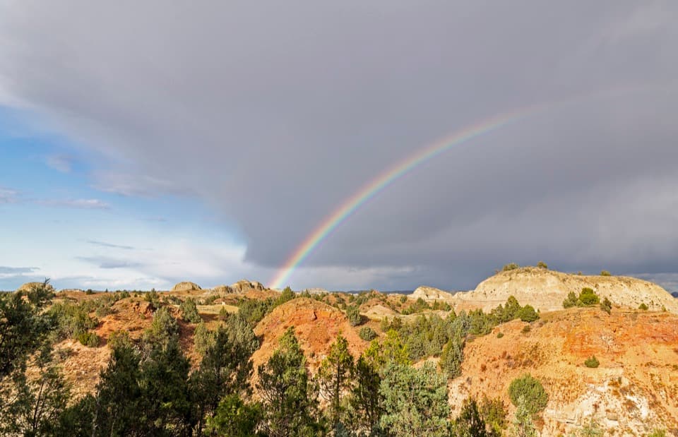
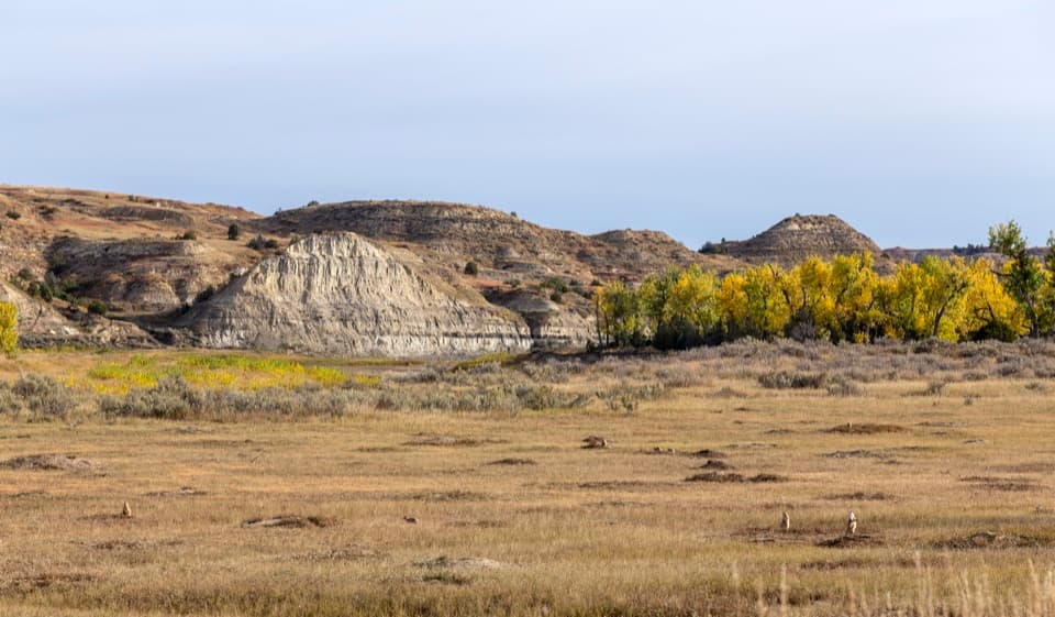
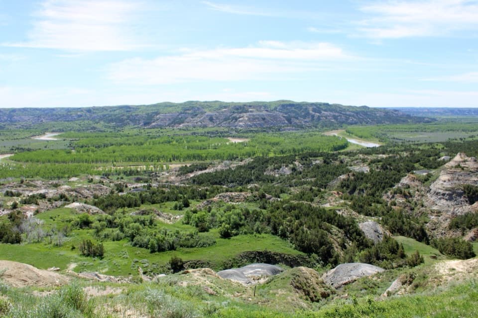
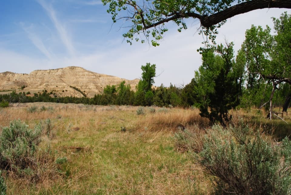
Badlands Overlook is a named roadside vista at the end of the South Unit Scenic Drive, looking across the broken Little Missouri badlands. Layer after layer of low ridges, gullies and buttes makes this one of the drive’s broadest panoramas; it is an easy stop for big scenery without a hike. Set aside at least two hours for the full 36-mile loop, then give the overlook enough time to take in the land rather than just snap a photo.

Take in the view safelyA curved parking area sits beside a paved sidewalk that follows a stone wall, with an…

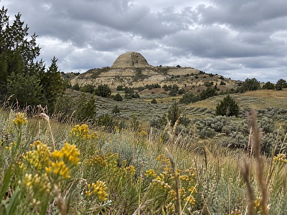
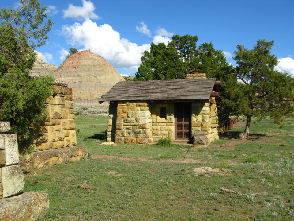
A curved parking area sits beside a paved sidewalk that follows a stone wall, with an interpretive wayside along the route. The ground falls sharply beyond the wall, so keep to the developed viewing area. A large butte cuts into the western view, while the panorama also opens north and east.

What “badlands” means hereThe wayside connects Lakota mako sica (“bad earth”) with the French voyageurs’ les mauvais…

The wayside connects Lakota mako sica (“bad earth”) with the French voyageurs’ les mauvais terres à traverser (“bad lands to cross”). The name fits country where broken cliffs, coulees, creeks and sinkholes made travel difficult. The panel also carries Theodore Roosevelt’s reflections on the name and terrain.

Go early for colorSunrise is a good time to see warm bands of color and shadow across the buttes.

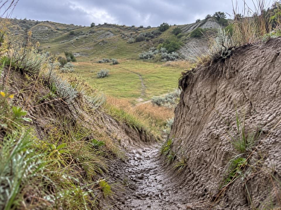
Sunrise is a good time to see warm bands of color and shadow across the buttes. Include a few nearer gullies in the frame to show the folds leading toward the horizon. Scan the slopes too: elk or bison may appear among the buttes, though sightings aren’t guaranteed.

Plan your day around MedoraThe South Unit has no restaurants or lodging, so plan meals and an overnight stay in Medora…

The South Unit has no restaurants or lodging, so plan meals and an overnight stay in Medora before or after the drive. This overlook is a brief roadside stop rather than a place to spend hours on a trail.

Wildlife

Wildlife in Theodore Roosevelt

All Theodore Roosevelt wildlife maps

Sighting maps show where each species has been reported across Theodore Roosevelt. Wildlife moves, so no sighting is guaranteed.

Keep exploring

Near Badlands Overlook

See it all on the map

Trails nearby

More stops nearby

Parkwolf’s Theodore Roosevelt ranking

Top sights in Theodore Roosevelt

All 35 places
  1. 1River Bend OverlookSight
  2. 2Painted Canyon Overlook and Visitor CenterSight
  3. 3Maltese Cross CabinSight
  4. 4Oxbow OverlookSight
  5. 5Wind CanyonSight
  6. 6Elkhorn Ranch Cabin SiteSight

Take Parkwolf to Theodore Roosevelt.

The audio tour guide for the drive, plus offline maps, trails, and wildlife heatmaps for when the signal drops.

4.7 from 8,600+ ratings

Download Parkwolf on the App StoreGet Parkwolf on Google Play