Parking
Start at the Dreki hut and camp area at the gorge mouth; the route information does not identify a separate parking lot.
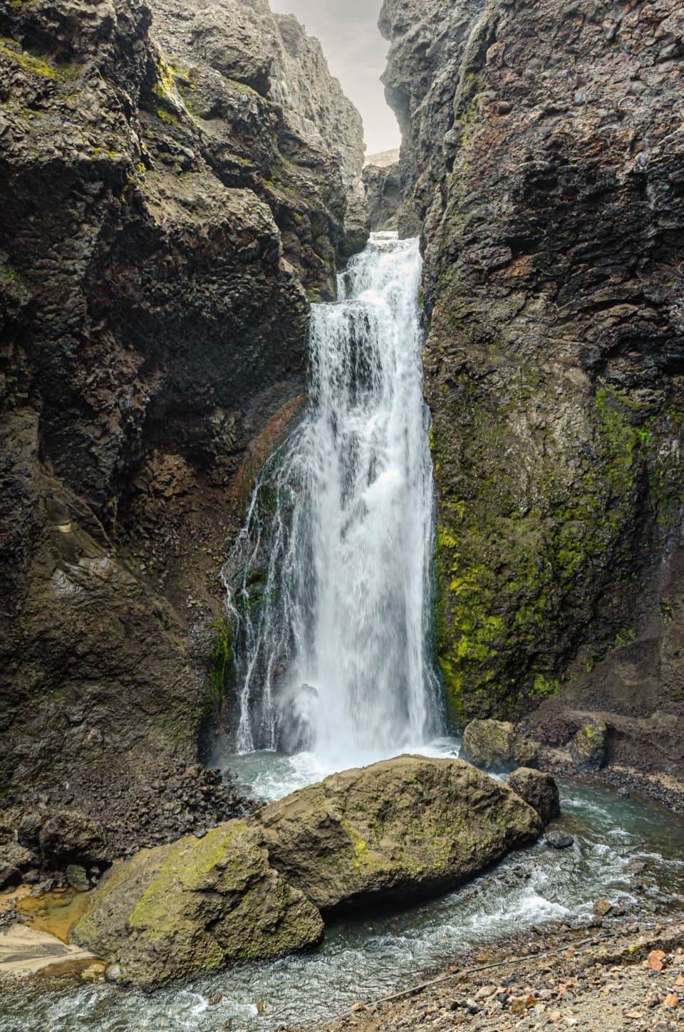
Vatnajökull National Park
Short, rocky walking into a volcanic gorge to a waterfall.
Photo: Pjt56, CC BY-SA 4.0, via Wikimedia Commons
Overview
Map & elevation
Plan your hike

The highest, rockiest slopes around here are a summer buffet for grizzly bears.
Vatnajökull Tour Guide
Parkwolf is a GPS audio tour guide for Vatnajökull National Park. As you drive, it chimes in with what’s ahead: hidden gems, upcoming stops, history, geology, and wildlife, right through your car’s speakers.
Recorded for this trailhead
Dreki and Drekagil Gorge“You're coming up on Dreki, the hut and camping base beside Drekagil gorge. The older hut dates to nineteen sixty-eight, and campers have indoor space to eat their own food and dry clothes.”
Plays as you drive up to this trailhead in the Parkwolf Vatnajökull Tour Guide.
More stories near here in the app
“Fantastic app with many points of information… It’s great to just turn on while you’re driving and it gives you an audio tour of the national Park. We love it!!!!”


Trail guide
Up into Drekagil is the park’s A3 out-and-back from Dreki into a narrow volcanic gorge. The mapped footpath is about 0.22 miles one way, or roughly 0.45 miles out and back. The listed distance is 0.6 km, but it doesn’t say whether that includes the return. Allow about an hour; this short route is rated challenging, and the waterfall is its main payoff.
Start at Dreki, beside the mouth of Drekagil. The path follows rough ground into the gorge between dark, layered walls. Expect several stream crossings; visitors have also reported that the route can be hard to follow. The verified mapped line ends in the lower gorge. The final approach to the waterfall is not mapped precisely, so check the current route before continuing beyond that line.
Hyaloclastite and lava shape the gorge, with hardy plants among the rocks. The park warns of rock and mud slides during snow thaw. Loose stones, water crossings and changing thaw conditions are the reasons to take this short walk seriously.
Wildlife
 23 sightingsGrey SealMost seen around 5 AMSighting map
 260 sightingsHarbor SealMost seen around 11 AMSighting map
 184 sightingsCaribouMost seen around 7 PMSighting map
 62 sightingsArctic FoxMost seen around 8 PMSighting map
 169 sightingsWhooper SwanMost seen around 5 PMSighting map
 68 sightingsAtlantic PuffinMost seen around 7 PMSighting map
Sighting maps show where each species has been reported across Vatnajökull. Wildlife moves, so no sighting is guaranteed.
Keep exploring
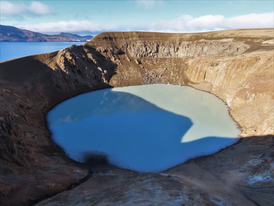 ChallengingDreki–Dyngjufjöll–Víti Trail8 km · 4.5 hr · At the trailheadA rugged mountain crossing to Víti and open views into Askja.
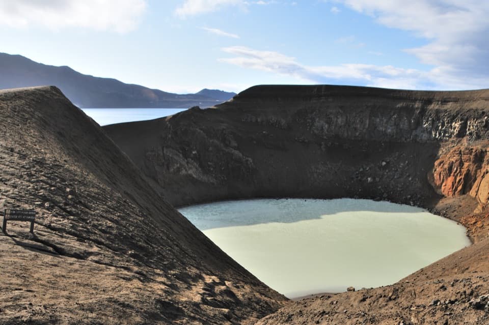 EasyVikraborgir – Öskjuvatn5.6 km · 2 hr · 6.7 km awayAn easy volcanic walk to two lakes and a guest-book memorial.
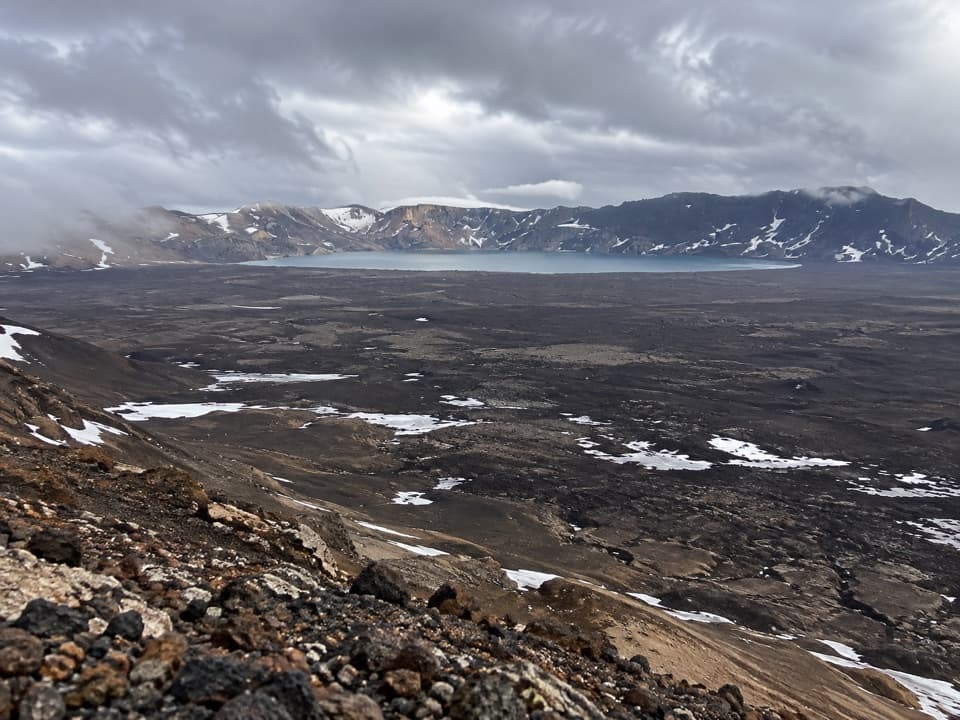 ChallengingAskja–Dyngjufell Trail (Ö3)13.6 km · 7 hr · 6.7 km awayA wild highland crossing with a hut waiting beyond the pass.
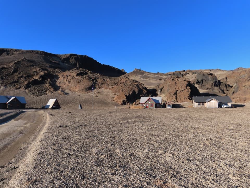 ChallengingBræðrafell – Drekagil Trail20.4 km · 8 hr · 16.5 km awayA full-day highland crossing to Drekagil’s lava-walled gorge.
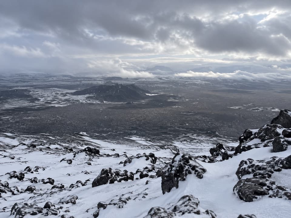 ChallengingHerðubreið Summit Trail (Hb5)5.9 km · 6 hr · 18.1 km awayA steep 1,000-meter climb to a broad summit panorama.Campground · At the trailheadDreki Huts and CampgroundAn overnight highland base for a longer day at Askja.Sight · 0.4 km awayDrekagil GorgeA short, challenging highland walk into a waterfall gorge.
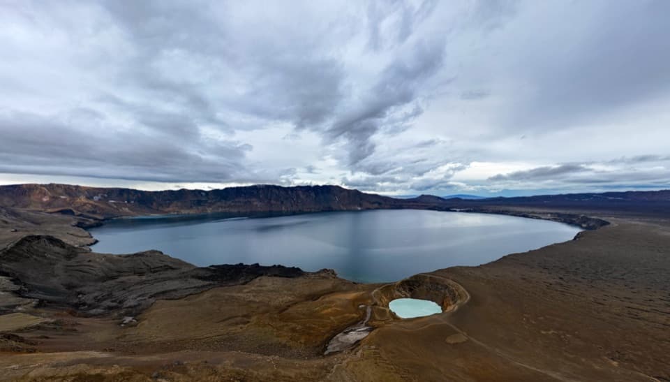 Sight · 6.1 km awayAskja – Víti and ÖskjuvatnTwo crater lakes make the remote highland journey feel worthwhile.
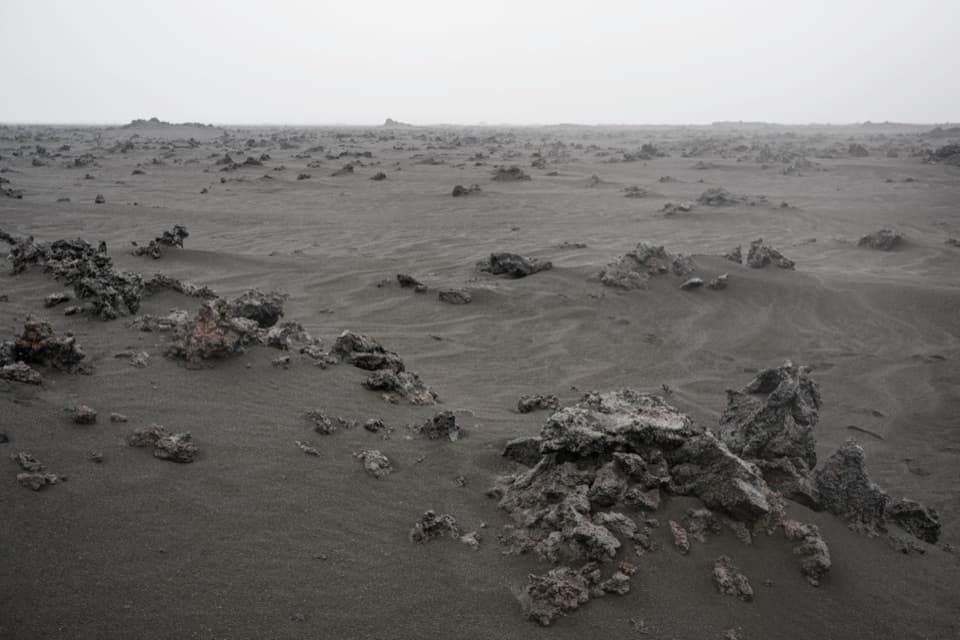 Sight · 12.6 km awayHoluhraun Lava Field ViewpointA vast lava field shaped by Iceland’s 2014–15 eruption.
Parkwolf’s Vatnajökull ranking

The audio tour guide for the drive, plus offline maps, trails, and wildlife heatmaps for when the signal drops.




