Parking
Start at the Vikraborgir car park, the official A1 starting point.
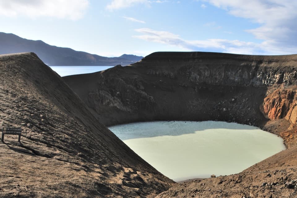
#8 of 92 trails in Vatnajökull
Vatnajökull National Park
An easy volcanic walk to two lakes and a guest-book memorial.
Photo: Ulrich Latzenhofer, CC BY-SA 2.0, via Wikimedia Commons
Overview
Map & elevation
Plan your hike

The highest, rockiest slopes around here are a summer buffet for grizzly bears.
Vatnajökull Tour Guide
Parkwolf is a GPS audio tour guide for Vatnajökull National Park. As you drive, it chimes in with what’s ahead: hidden gems, upcoming stops, history, geology, and wildlife, right through your car’s speakers.
Recorded for this trailhead
Askja: Víti and Öskjuvatn“You're approaching Vikraborgir, the starting point for the walk into Askja's caldera.”
Plays as you drive up to this trailhead in the Parkwolf Vatnajökull Tour Guide.
More stories near here in the app
“Fantastic app with many points of information… It’s great to just turn on while you’re driving and it gives you an audio tour of the national Park. We love it!!!!”


Trail guide
A1 runs from Vikraborgir into the Askja caldera to the viewpoint corridor above Víti and Öskjuvatn, then returns the same way. It’s the straightforward choice if you want to see the two lakes without taking on a longer highland route. From the rim, pale green Víti sits inside its steep crater, with the much broader Öskjuvatn beyond. The official route also includes the memorial and guest book beside the lake.
The park lists A1 as 2.5 km and estimates about two hours, but doesn’t say whether 2.5 km is one way or round trip. The mapped line from Vikraborgir car park to the lake-side end of A1 measures 2.81 km. It’s a point-to-point walk, not a loop, so follow the same corridor back: plan on about 5.6 km (3.5 miles) total. The mapped leg is about 0.3 km longer than the published figure; use the mapped round trip when planning. The park rates A1 easy. Two hours is reasonable if you keep moving and allow a little time at the viewpoints and memorial.
Vikraborgir is the trailhead. A1 crosses the bare volcanic interior toward the lakes and ends at the viewpoint and memorial corridor. The park’s map shows A2 as a separate route from Dreki toward Dyngjufjöll and Víti; its distance and climbing don’t belong to this walk. Don’t join the different colored route lines into a made-up circuit. If all you want is the lakes, stay on A1 and turn back at its endpoint.
Víti is the smaller, pale green crater lake. Öskjuvatn is the broad lake in Askja’s central basin. They’re close together, but you’re looking at distinct water bodies and landforms, not one continuous shoreline walk. The paired view is the reason to make the crossing. You can see the destination from the rim-side route without adding a descent into Víti.
There’s more than geology at the end of A1. The memorial and guest book honor Walter von Knebel and Max Rudloff, German researchers who went out onto Öskjuvatn in a canvas boat on July 10, 1907, and never returned. Their disappearance is still unexplained; the park’s map notes that the boat may have been too weak for the lake. It’s a sobering stop in an otherwise stark landscape, and the guest book gives the place a personal feel.
Askja is a caldera in the Dyngjufjöll volcanic system. A major ash eruption near the end of the Ice Age caused the roof of the volcano’s magma chamber to collapse, leaving the broad basin; later eruptions laid lava around its rim. The park places the basin floor at roughly 1,100 metres and the rim between about 1,300 and 1,500 metres. A1 stays in the caldera interior, where the scale of the depression and the lakes becomes clear.
The walk itself is easy by the park’s grade, but Vikraborgir is a remote highland start. Check current park road information before driving out; a good trail day depends on reaching Askja safely. The park also warns that the descent into Víti is slippery and that rock or mud slides may occur. That descent is outside the mapped A1 line. You don’t need to go down to get the lakeside view, and should check current guidance before considering it.
Wildlife
 23 sightingsGrey SealMost seen around 5 AMSighting map
 260 sightingsHarbor SealMost seen around 11 AMSighting map
 184 sightingsCaribouMost seen around 7 PMSighting map
 62 sightingsArctic FoxMost seen around 8 PMSighting map
 169 sightingsWhooper SwanMost seen around 5 PMSighting map
 68 sightingsAtlantic PuffinMost seen around 7 PMSighting map
Sighting maps show where each species has been reported across Vatnajökull. Wildlife moves, so no sighting is guaranteed.
Keep exploring
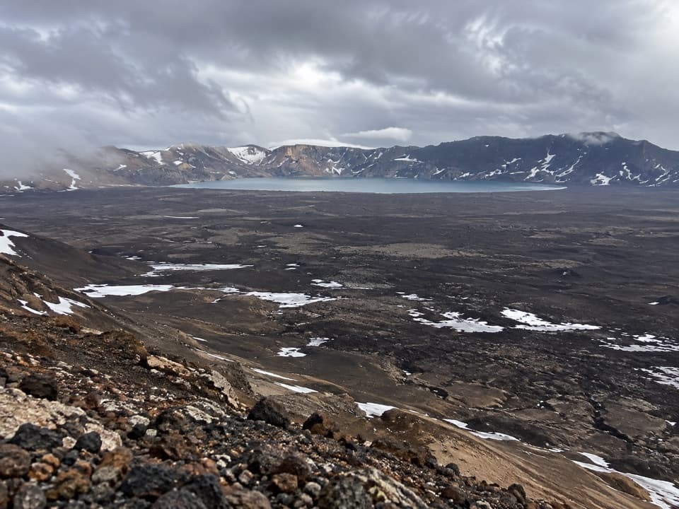 ChallengingAskja–Dyngjufell Trail (Ö3)13.6 km · 7 hr · At the trailheadA wild highland crossing with a hut waiting beyond the pass.
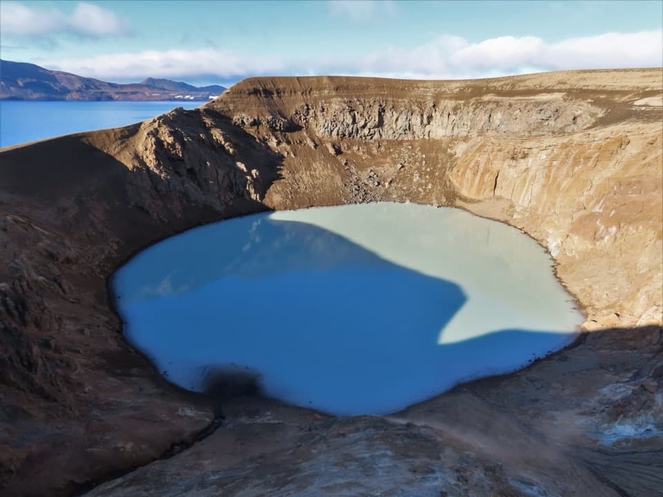 ChallengingDreki–Dyngjufjöll–Víti Trail8 km · 4.5 hr · 6.7 km awayA rugged mountain crossing to Víti and open views into Askja.
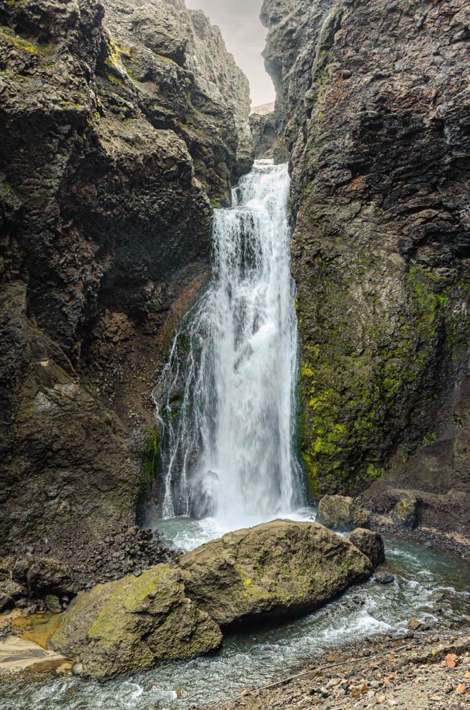 ChallengingUp into Drekagil0.7 km · 1 hr · 6.7 km awayShort, rocky walking into a volcanic gorge to a waterfall.
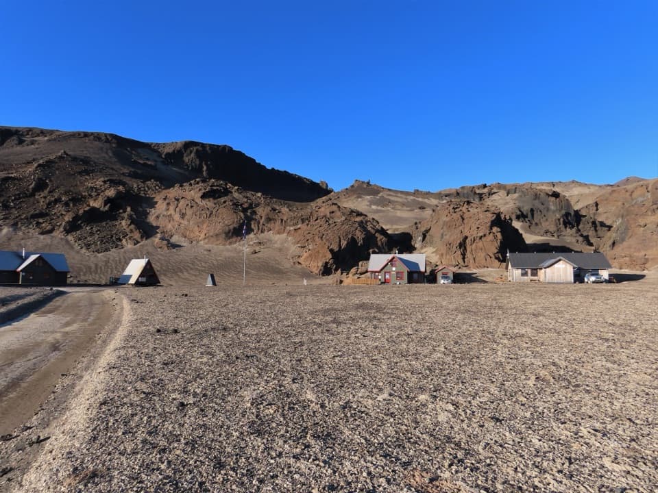 ChallengingBræðrafell – Drekagil Trail20.4 km · 8 hr · 16 km awayA full-day highland crossing to Drekagil’s lava-walled gorge.
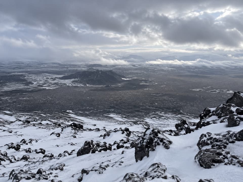 ChallengingHerðubreið Summit Trail (Hb5)5.9 km · 6 hr · 19.9 km awayA steep 1,000-meter climb to a broad summit panorama.
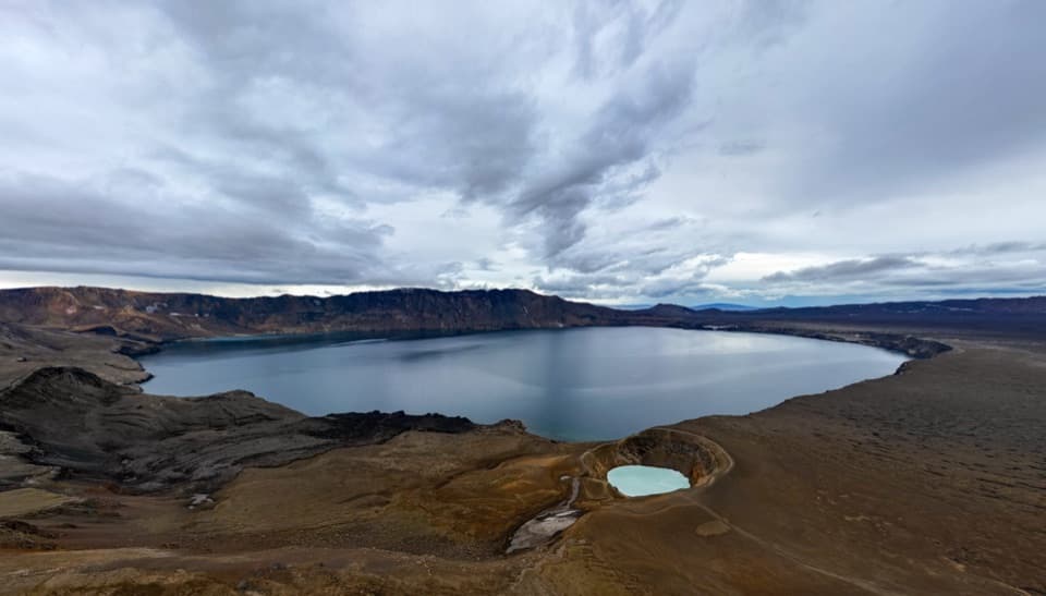 Sight · 2.2 km awayAskja – Víti and ÖskjuvatnTwo crater lakes make the remote highland journey feel worthwhile.Sight · 6.4 km awayDrekagil GorgeA short, challenging highland walk into a waterfall gorge.Campground · 6.7 km awayDreki Huts and CampgroundAn overnight highland base for a longer day at Askja.
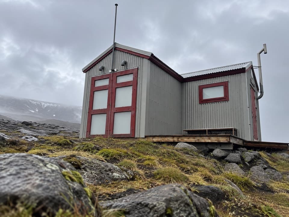 Lodging · 11.2 km awayDyngjufell HutA basic 16-person hut along the remote Askja Trail.
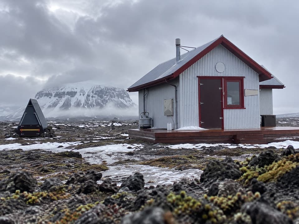 Lodging · 16 km awayBræðrafell HutBook ahead for a 16-bunk break in remote lava country.
Parkwolf’s Vatnajökull ranking

The audio tour guide for the drive, plus offline maps, trails, and wildlife heatmaps for when the signal drops.




