Parking
Start at Vikraborgir car park. The stage ends at Dyngjufell hut, so plan your onward leg or pickup before setting out.
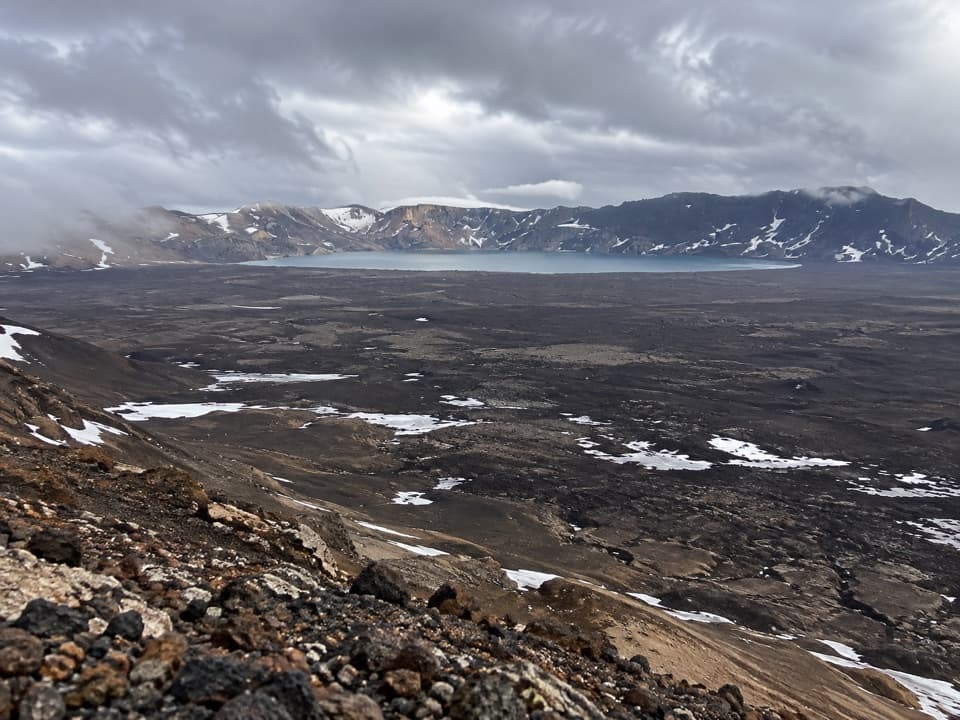
Vatnajökull National Park
A wild highland crossing with a hut waiting beyond the pass.
Overview
Map & elevation
Plan your hike

The highest, rockiest slopes around here are a summer buffet for grizzly bears.
Vatnajökull Tour Guide
Parkwolf is a GPS audio tour guide for Vatnajökull National Park. As you drive, it chimes in with what’s ahead: hidden gems, upcoming stops, history, geology, and wildlife, right through your car’s speakers.
Recorded for this trailhead
Askja: Víti and Öskjuvatn“You're approaching Vikraborgir, the starting point for the walk into Askja's caldera.”
Plays as you drive up to this trailhead in the Parkwolf Vatnajökull Tour Guide.
More stories near here in the app
“Fantastic app with many points of information… It’s great to just turn on while you’re driving and it gives you an audio tour of the national Park. We love it!!!!”


Trail guide
Askja–Dyngjufell (Ö3) is an 8.45-mile (13.6 km) one-way stage from Vikraborgir car park to Dyngjufell hut. It crosses rough lava, climbs to Jónsskarð, then descends into Dyngjufjalladalur. Allow about seven hours over high, open ground, and plan the hut or onward leg before you start. If you want a shorter visit to the lake, take the separate Vikraborgir–Öskjuvatn walk.
From Vikraborgir, the route heads northwest over rough lava from Askja's 1961 eruption, then turns west between the lava field and Askja's northern slope. This is slow, uneven walking underfoot, not a smooth path. The staked route begins at Jónsskarð, so have a map, compass and GPS ready before the ground opens up.
At the saddle, the route turns northwest across Jónsskarð. Look south over Askja toward Kverkfjöll and Vatnajökull, then turn north across Ódáðahraun toward Bláfjall and Sellandafjall. This is the stage's signature view; keep some dark lava slope in the foreground to give the caldera and distant peaks scale.
Stakes and cairns lead down from the pass to Dyngjufell hut in the valley. The hut has room for 16, kerosene heating and a gas cooker. A small stream may provide water nearby, but water is scarce across the Askja Trail, so carry enough for the day's walk rather than counting on it.
The lava crossing is a reminder that this is active volcanic country: the rough field by Vikraborgir dates to the 1961 eruption. Askja's 1875 eruption expelled about 2.5 km³ of material; as magma drained away, the roof of the magma chamber collapsed to form the caldera basin seen from the route.
Wildlife
 23 sightingsGrey SealMost seen around 5 AMSighting map
 260 sightingsHarbor SealMost seen around 11 AMSighting map
 184 sightingsCaribouMost seen around 7 PMSighting map
 62 sightingsArctic FoxMost seen around 8 PMSighting map
 169 sightingsWhooper SwanMost seen around 5 PMSighting map
 68 sightingsAtlantic PuffinMost seen around 7 PMSighting map
Sighting maps show where each species has been reported across Vatnajökull. Wildlife moves, so no sighting is guaranteed.
Keep exploring
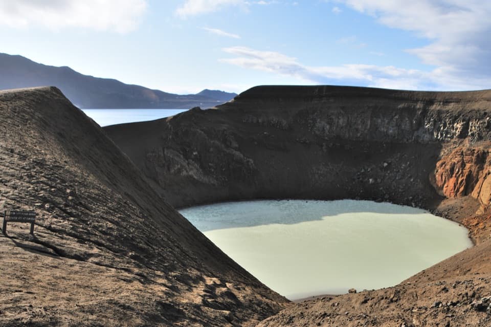 EasyVikraborgir – Öskjuvatn5.6 km · 2 hr · At the trailheadAn easy volcanic walk to two lakes and a guest-book memorial.
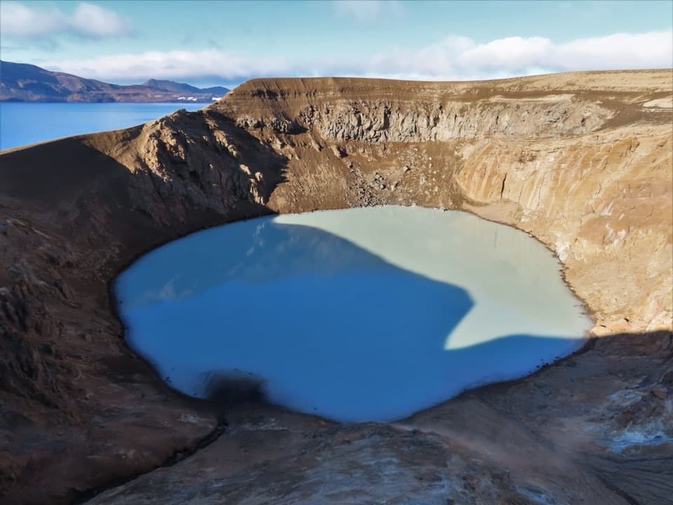 ChallengingDreki–Dyngjufjöll–Víti Trail8 km · 4.5 hr · 6.7 km awayA rugged mountain crossing to Víti and open views into Askja.
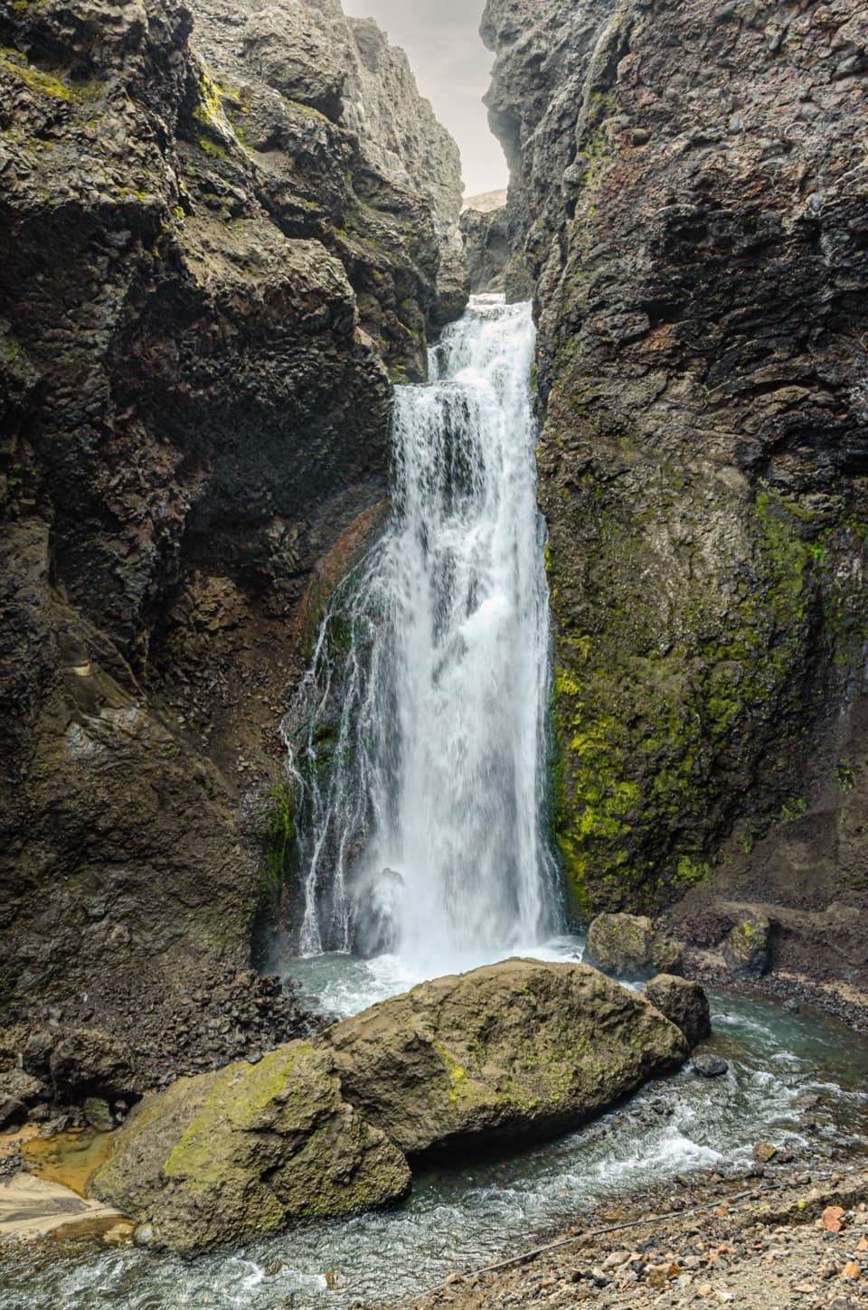 ChallengingUp into Drekagil0.7 km · 1 hr · 6.7 km awayShort, rocky walking into a volcanic gorge to a waterfall.
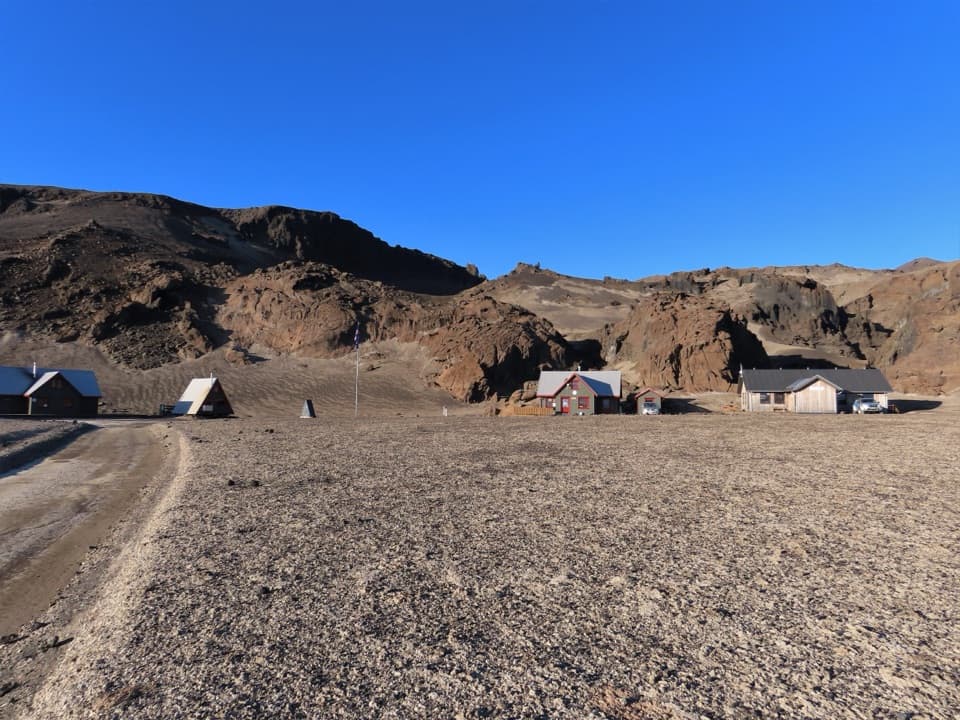 ChallengingBræðrafell – Drekagil Trail20.4 km · 8 hr · 16 km awayA full-day highland crossing to Drekagil’s lava-walled gorge.
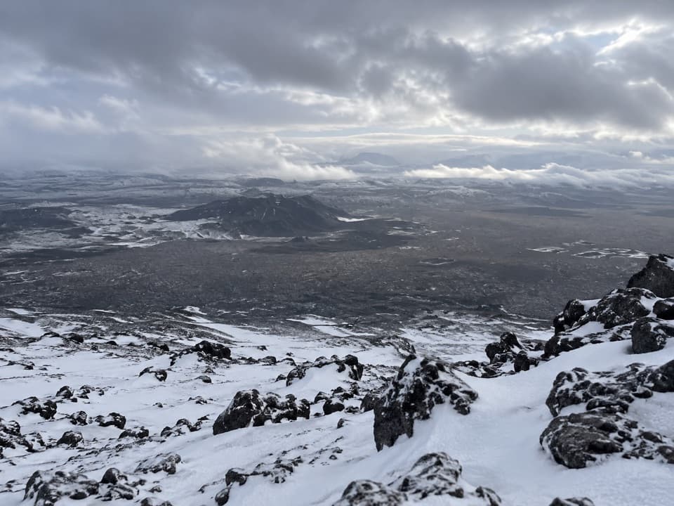 ChallengingHerðubreið Summit Trail (Hb5)5.9 km · 6 hr · 19.9 km awayA steep 1,000-meter climb to a broad summit panorama.
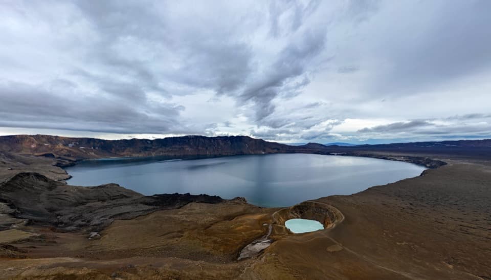 Sight · 2.2 km awayAskja – Víti and ÖskjuvatnTwo crater lakes make the remote highland journey feel worthwhile.Sight · 6.4 km awayDrekagil GorgeA short, challenging highland walk into a waterfall gorge.Campground · 6.7 km awayDreki Huts and CampgroundAn overnight highland base for a longer day at Askja.
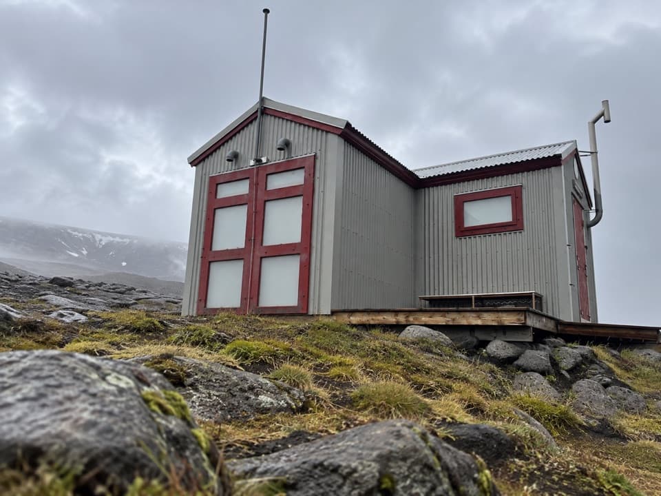 Lodging · 11.2 km awayDyngjufell HutA basic 16-person hut along the remote Askja Trail.
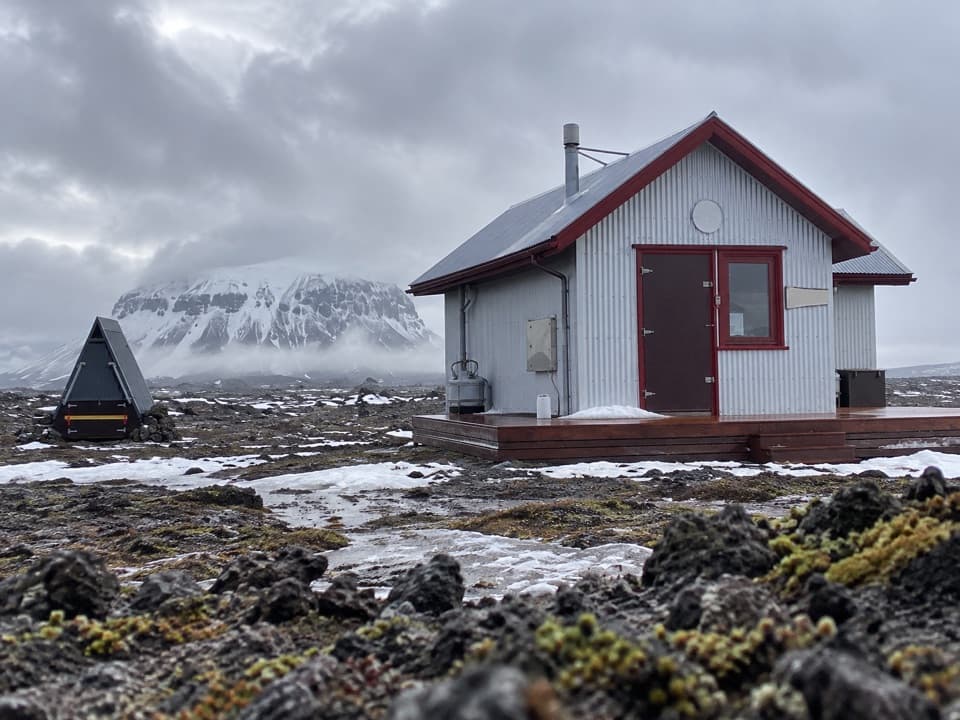 Lodging · 16 km awayBræðrafell HutBook ahead for a 16-bunk break in remote lava country.
Parkwolf’s Vatnajökull ranking

The audio tour guide for the drive, plus offline maps, trails, and wildlife heatmaps for when the signal drops.




