Pros & cons
PROS
- Iceland’s highest summit with sweeping views over the Vatnajökull ice cap
- Guided ascents available with rope teams and essential glacier gear
CONS
- Long, strenuous 10–14 hour glacier climb with crevasse hazards
- No toilets or water at the usual Sandfellsleið trailhead
Overview
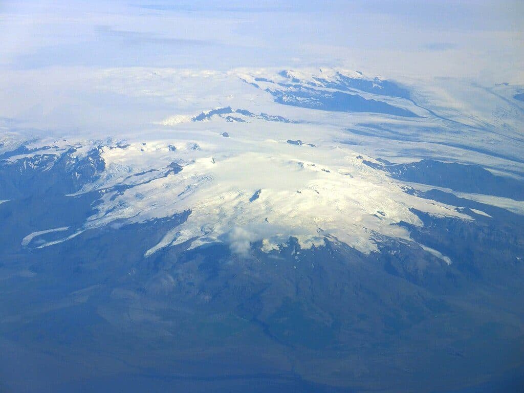
Hvannadalshnúkur is the high point of Iceland at 2,110 m, a snow and ice dome crowning the Öræfajökull volcano within Vatnajökull National Park. The mountain rises almost from sea level, so the ascent packs a big elevation punch and delivers expansive views across the Vatnajökull ice fields and the south coast on clear days.
The Climb at a Glance
This is a demanding endurance day rather than a technical mountaineering epic for most parties. Expect roughly 10–14 hours round trip, with sustained travel on snow and glacier. You’ll move roped because crevasses are common and shift seasonally. Unless you’re part of a competent glacier team, going with experienced guides is strongly recommended.
Routes
- Sandfellsleið (standard): The most used line on the south/west flank. Guides adjust the precise glacier approach to avoid crevasses as conditions change.
- Hryggjaleið (via Virkisjökull): A more serious option typically feasible only until about mid-July, suitable for expert mountaineers under favorable conditions.
Geology & Setting
Hvannadalshnúkur sits atop the Öræfajökull stratovolcano, part of the Mid-Atlantic Ridge where volcanic and glacial forces carve and reshape the landscape. Major historical eruptions here include 1362 and 1727, and the broader ice cap has seen subglacial events in later years, but the area is considered safe to visit when advisories allow.
Safety & Gear
Glacier hazards are real: crevasses, changing snow bridges, wind, and whiteouts. Minimum kit includes crampons, a mountaineering ice axe, harness, helmet, rope/glacier gear, and solid navigation. Dress for fast-changing weather with a full layering system, waterproof boots, gaiters, warm gloves, and glacier sunglasses. A 30–40 L pack with high-calorie food and water/thermos rounds out the basics. Guided trips generally supply the technical safety equipment; you bring footwear, clothing, and personal items.
Facilities (or lack thereof)
Don’t expect amenities at the Sandfellsleið start. Plan as if there are no toilets, water taps, or bins at the trailhead. Use services in the nearby Öræfi/Skaftafell area before you head out, carry a waste kit, and pack out everything. There’s no potable water on the glacier—bring what you need.
Environment & Wildlife
Wildlife sightings are rare up high, but the wider park hosts reindeer, arctic foxes, and plenty of birdlife. Respect seasonal nesting zones, stay on durable snow/ice surfaces, and leave no trace.
Best Time to Visit
Guided ascents on the standard route commonly run much of the year, but beginners are best off in summer with an experienced guide. The more technical Hryggjaleið window typically closes by mid-July. Build your day around a clear, stable forecast and enough daylight for a 10–14 hour round trip.

Where it is
64.0147, -16.6749Tips for Hvannadalshnjúkur
- 01Go guided unless your team is fully competent in glacier travel and crevasse rescue.
- 02Plan for a 10–14 hour day on snow and ice with strong wind and cold.
- 03Assume no toilets, water, or bins at the Sandfellsleið start; use facilities beforehand and pack out all waste.
- 04Bring proper boots, warm layers, and glacier sunglasses; guided trips usually provide the technical gear.
- 05Check the forecast and local advisories; Sandfellsleið is standard, while Hryggjaleið is more technical and usually only feasible until mid-July.
Amenities
Near Hvannadalshnjúkur
All places →All trails →
2.3 mi awayÖræfajökullIceland’s highest, ice-cloaked volcano and gateway to glacier adventuresParking · Scenic Viewpoint
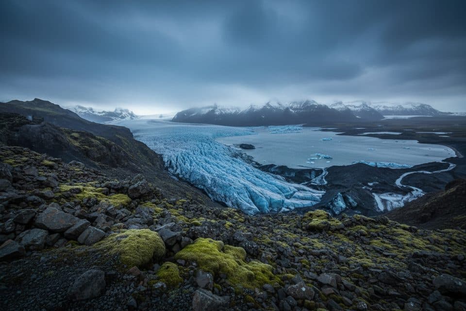
3.8 mi awayVirkisjökull ViewpointClose-up glacier-front views of a fractured icefallParking · Scenic Viewpoint
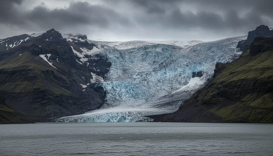
3.9 mi awayFalljökullSteep, crevassed blue‑ice glacier best seen on a guided hike
5.9 mi awaySvínafell CampgroundLow-key base with an indoor kitchen and glacier viewsCampground · Restroom
8.8 mi awaySjónarnípa Viewpoint Trail (S6)Basalt falls plus a cliff-top glacier overlook in one tidy loop.Moderate · 4.6 mi · 2.5 hr
8.8 mi awayKristínartindar Trail (S4)Glacier panoramas with a steep, loose scree summit push.Challenging · 11.4 mi · 7 hr
8.8 mi awaySvartifoss Waterfall (Skaftafell)Basalt-column beauty via a short uphill walk from Skaftafell.Moderate · 2.1 mi · 1.5 hr
8.8 mi awaySvartifoss–Sjónarsker–Sel (S2)Basalt falls, big views, and turf houses in one tidy loopModerate · 3.6 mi · 2 hr