Virkisjökull Viewpoint in Vatnajökull National Park

Sight · Vatnajökull National Park

Virkisjökull Viewpoint

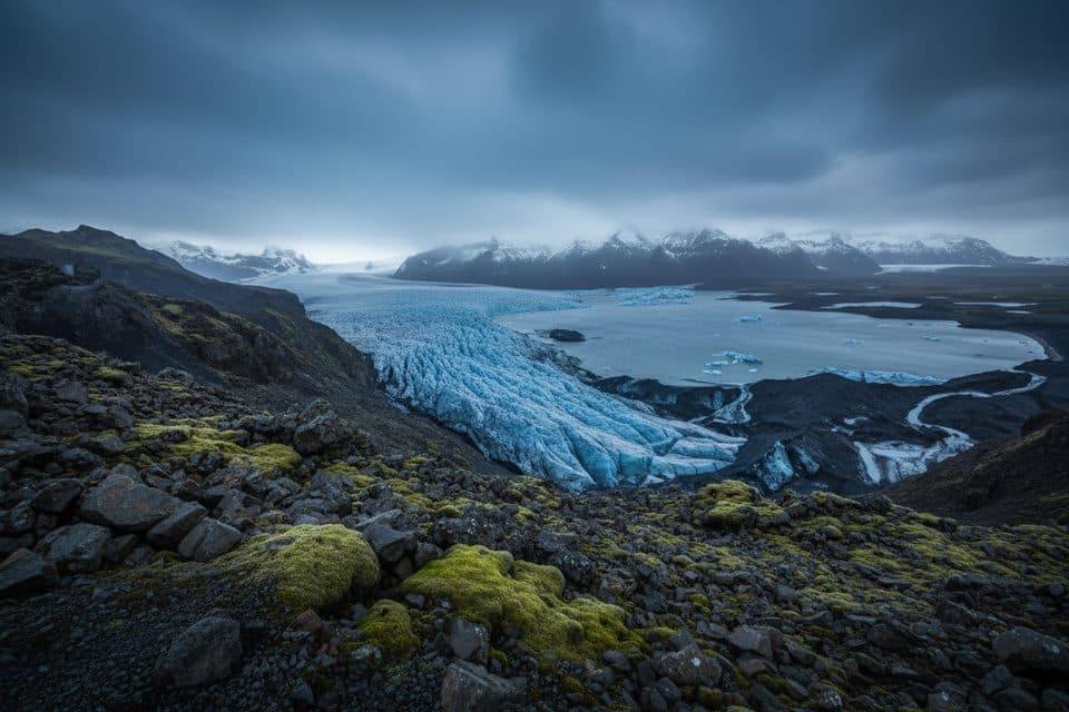
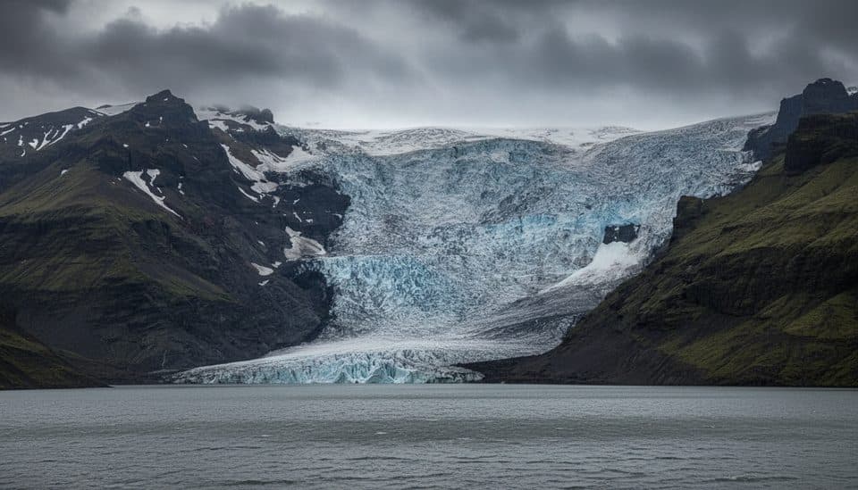
Close-up glacier-front views of a fractured icefall

Overview

About Virkisjökull Viewpoint

Virkisjokull Viewpoint looks straight onto one of the south coast’s classic outlet glaciers, where blue-and-white ice is banded with dark volcanic debris and crevasses pour down a steep icefall. It’s a quick detour in the broader Skaftafell–Oraefi area and a solid bang-for-buck glacier stop if you want the scenery without committing to a full guided hike.

Why stop

  • Dramatic, close-up views of a fractured outlet glacier and icefall
  • Easy access from the south coast via the Skaftafell area

Heads up

  • No on-site facilities—no toilets, bins, water, or shelter
  • Access and proximity to the ice can change quickly with conditions

Map

Where it is

Loading the Vatnajökull map
Full map
SightVirkisjökull Viewpoint63.97649, -16.76542
Keep this map with you offline in the Parkwolf app

Local know-how

Tips for visiting Virkisjökull Viewpoint

  1. Start at Skaftafell’s visitor center for current access and conditions.

  2. Stay off the ice and away from the water’s edge unless on a guided tour.

  3. Bring windproof and waterproof layers; weather flips quickly even in summer.

  4. Aim for early morning or late afternoon for better light and fewer groups.

  5. Carry water and snacks—there are no services at the viewpoint.

Plan your stop

Before you go

Best time to visit

  • Light: Early or late day brings softer light on the icefall; midday can be harsh and contrasty.
  • Crowds: Mid-morning to mid-afternoon sees the most tour traffic. Come early or later in the day for quieter views.
  • Conditions: South-coast weather changes fast year-round. Check in with rangers at Skaftafell for the latest on road/trail conditions and how close you can safely get to the glacier edge.

Getting There & On-the-Ground

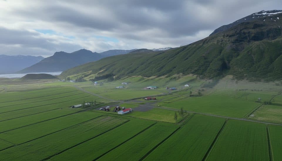
Reach it from the Ring Road on the south coast, using Skaftafell as your information hub. There’s a compact parking area and a short, uneven gravel/moraine path to the glacier viewpoint. Expect wind and exposure. There are no services at the viewpoint—plan to be self-sufficient and pack out everything you bring.

1 active Vatnajökull alert

  • ClosureFosshvammur permanently closed at DettifossFosshvammur at Dettifoss is permanently closed to all traffic; do not enter.Official details
Vatnajökull alerts
A park ranger sits on a dash-mounted phone, talking, as Parkwolf’s Tour Guide plays “Army Cutworm Moths: A Grizzly Bear Buffet” on Grand Loop Road below Dunraven Pass in Yellowstone
Parkwolf Tour GuideThe highest, rockiest slopes around here are a summer buffet for grizzly bears.

Vatnajökull Tour Guide

Your drive to Virkisjökull Viewpoint, narrated.

Parkwolf is a GPS audio tour guide for Vatnajökull National Park. As you drive, it chimes in with what’s ahead: hidden gems, upcoming stops, history, geology, and wildlife, right through your car’s speakers.

More stories near here in the app

  • Svínafell Campground
  • Öræfajökull: The Wasteland Volcano
  • Freysnes: Gas, Food, and Tour Hub
  • Skeiðarárbrú Bridge Monument
  • 102 audio storiesacross Vatnajökull’s roads, triggered by GPS as you drive
  • Wildlife heatmapsfor Grey Seal, Harbor Seal, Caribou, and 13 more
  • Works offlinemaps, 16 trails, 72 places, and audio download before you lose signal
  • CarPlay readysimple controls built for the drive
★★★★★
“Fantastic app with many points of information… It’s great to just turn on while you’re driving and it gives you an audio tour of the national Park. We love it!!!!”
JMJamesApp Store review
Download Parkwolf on the App StoreGet Parkwolf on Google Play

4.7 from 8,600+ ratings

Guide

More about Virkisjökull Viewpoint

What You’ll SeeOn a clear day you’ll get the full fire-and-ice tableau: shattered seracs, crevasse fields,…

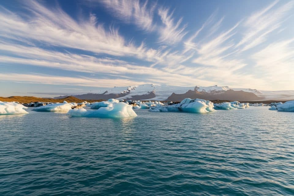
On a clear day you’ll get the full fire-and-ice tableau: shattered seracs, crevasse fields, ash-streaked ice, meltwater streams or a small proglacial lagoon, and sheer volcanic mountains hemming it all in. These fronts are living, shifting margins—expect the view to look different year to year as the glacier advances or retreats.

Geology in BriefVatnajokull sits atop active volcanoes on a rifting plate boundary.

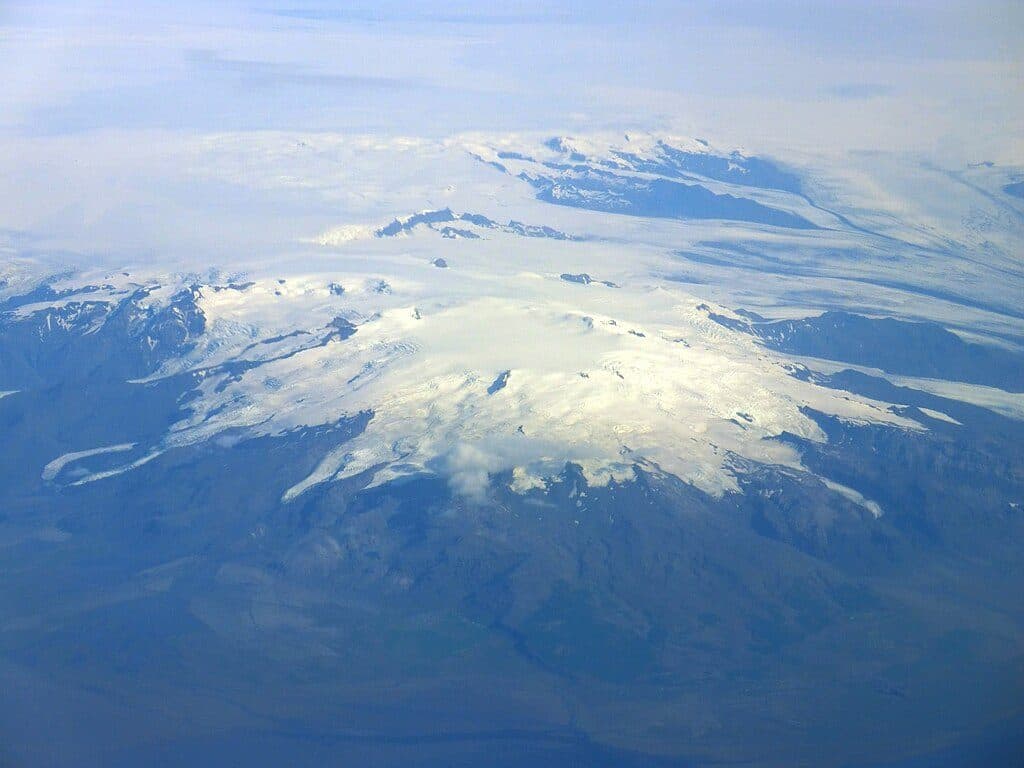
Vatnajokull sits atop active volcanoes on a rifting plate boundary. Heat from below and heavy ice from above sculpt a restless landscape—glacier margins move, ash gets woven into the ice after eruptions, and meltwater can reorganize the forefield. Virkisjokull is one of many tongues draining the ice cap along this dramatic south flank.

Safety & Guided OptionsDo not step onto glacier ice or approach calving fronts without a certified guide; ice can…

Do not step onto glacier ice or approach calving fronts without a certified guide; ice can break unpredictably and meltwater edges are hazardous. If you want to go beyond the viewpoint, Skaftafell hosts numerous guided glacier hikes and seasonal ice-cave tours that provide gear and instruction.

Wildlife

Wildlife in Vatnajökull

All Vatnajökull wildlife maps

Sighting maps show where each species has been reported across Vatnajökull. Wildlife moves, so no sighting is guaranteed.

Parkwolf’s Vatnajökull ranking

Top sights in Vatnajökull

All 72 places
  1. 1DettifossSight
  2. 2JökulsárlónSight
  3. 3Dettifoss West ViewpointSight
  4. 4Diamond Beach (Breiðamerkursandur)Beach
  5. 5MúlagljúfurSight
  6. 6Breidamerkurjökull GlacierSight

Take Parkwolf to Vatnajökull.

The audio tour guide for the drive, plus offline maps, trails, and wildlife heatmaps for when the signal drops.

4.7 from 8,600+ ratings

Download Parkwolf on the App StoreGet Parkwolf on Google Play