Lakagígar

Remote crater chain with big views and a serious 4x4 approach
Lakagígar, Vatnajökull National Park
InsideVatnajökull National Park

Overview

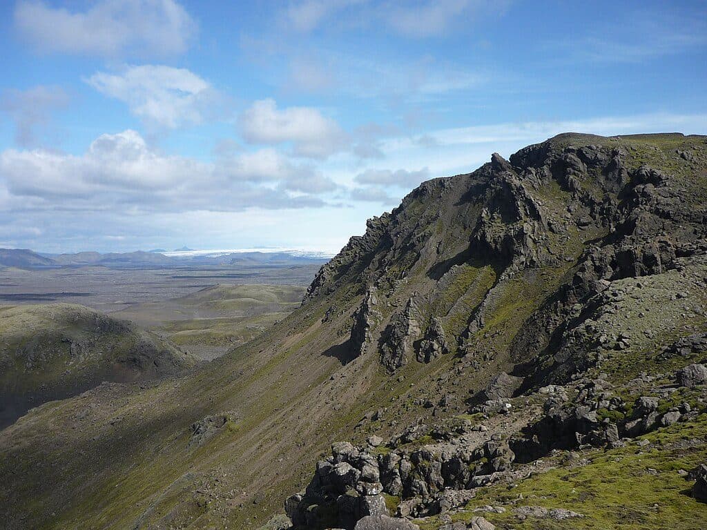
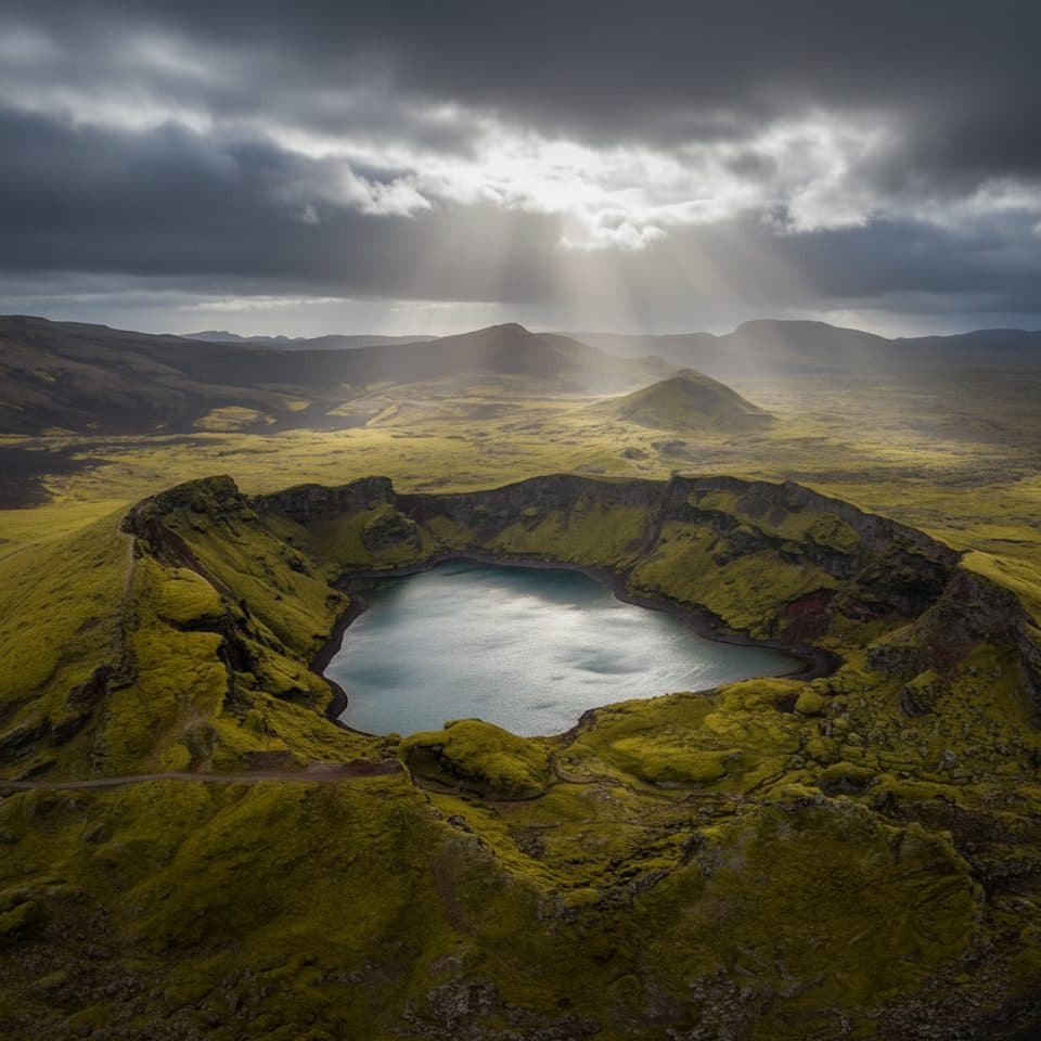
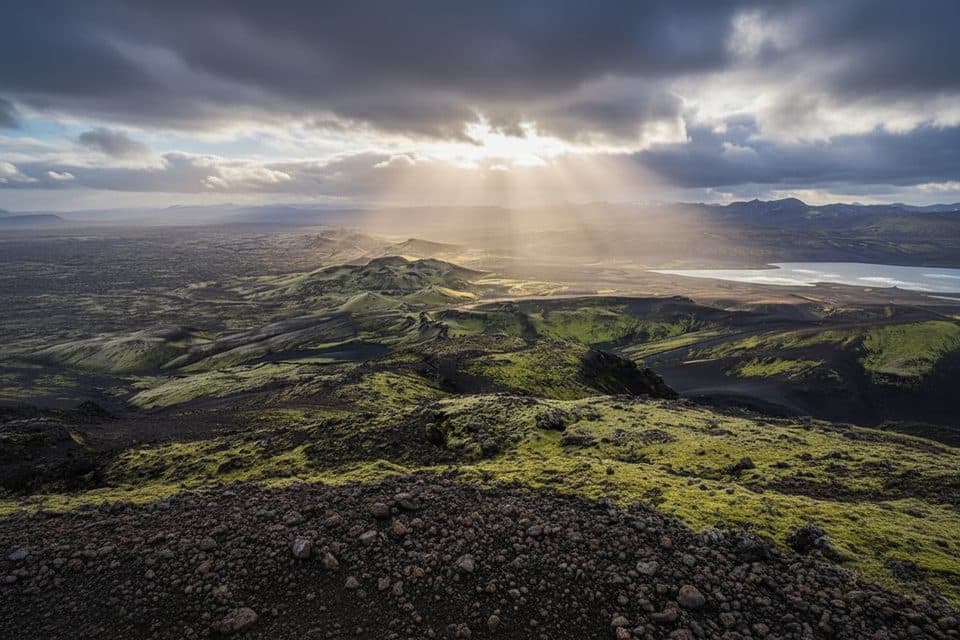
Lakagígar is the famous Laki crater row in the Highlands: a long volcanic fissure dotted with mossy cones and sweeping lava fields. It sits in a remote corner of the park, and that remoteness is part of the charm—wild, quiet, and otherworldly. From the top of Mount Laki you get big-picture views across the crater chain and, on clear days, toward nearby glaciers.

Why it matters

This landscape was forged by the 1783–1784 Skaftáreldar eruption—one of Iceland’s most consequential events. The fissure produced enormous lava flows and prolonged gas emissions that devastated Icelandic agriculture and drove a deadly famine, with reverberations felt across Europe and beyond. Standing here connects you directly to that history, with the crater row laid out beneath you.

Getting there & access

Access is via Highland F-roads (not paved) that typically open in summer only. Expect a high-clearance 4x4 requirement and several river crossings; conditions can vary with season and weather, and openings may come as late as late June. It’s a long approach from the Ring Road, often a full-day commitment from the gateway town of Kirkjubæjarklaustur. If you’d rather not drive F-roads or ford rivers yourself, guided super-jeep tours are a popular way to reach the area.

On-site experience

Most visitors hike up Mount Laki for the signature view. The main trail is well-marked, includes some steep, loose sections, and is roughly 3.5 km. Underfoot can be gravelly and slick on the lava and moss margins, so sturdy footwear matters. The terrain and vantage points make this a rewarding stop for landscape photographers and geology fans alike.

Facilities

Plan for minimal infrastructure. There’s a small car park and basic toilets reported at the site in season, and a ranger is often present to share local guidance. That said, this remains a remote Highlands destination—treat services as limited and bring your own water and food. Parking is typically informal and unpaved.

Best time to visit

  • Season: The sweet spot is when the F-roads are open and stable—most reliably from early July through September, with some years opening in late June.
  • Day planning: Start early. The approach drive plus unhurried hiking and viewpoints make this a full-day outing.
  • Crowds: Even in peak season, this area sees far fewer visitors than the park’s roadside highlights.


Safety & etiquette

  • Check road and weather conditions before committing to the drive; river depths and surface conditions change with weather.
  • If you’re unsure about river crossings, don’t force it—turn back or go with a guided super-jeep.
  • Stay off the fragile moss and stick to marked paths; lava terrain can be uneven and ankle-twisting.

Nearby highlights en route

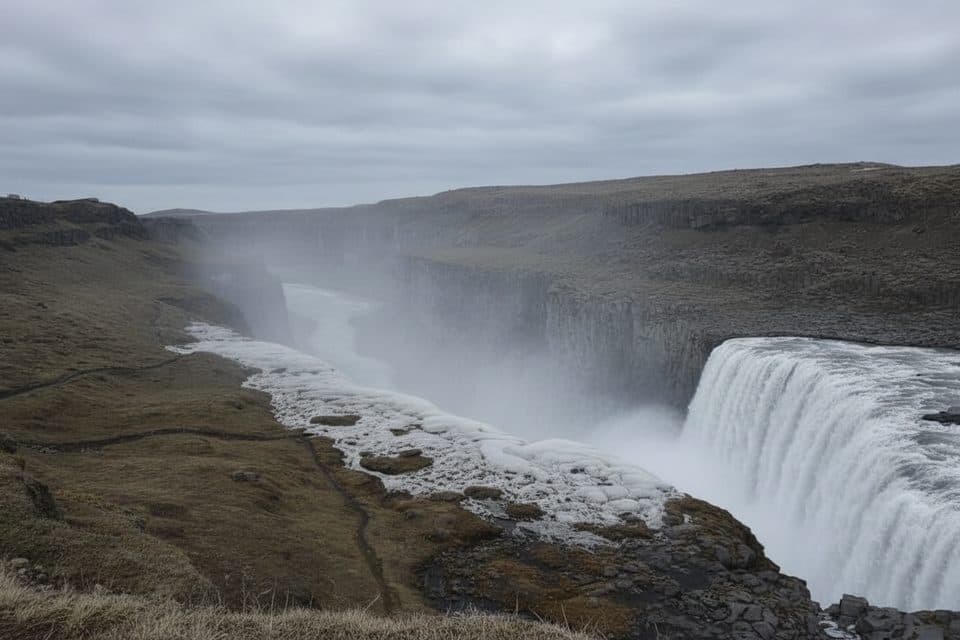
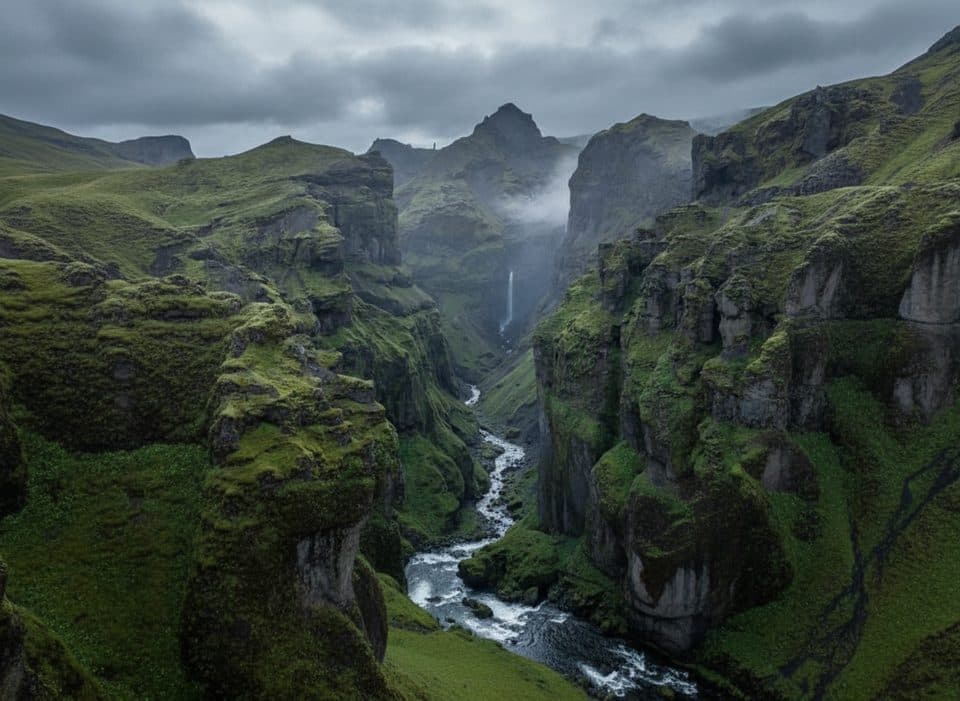
The drive in passes scenic stops in the Highlands; many visitors add a waterfall stop along the way, making the long day even more rewarding.

Pros

  • Panoramic summit views over a vast crater row
  • Short, well-marked hike up Mount Laki (~3.5 km)
  • Basic seasonal facilities at the small car park

Cons

  • Summer-only F-roads with multiple river crossings require 4x4
  • Long, full-day outing from the Ring Road with potential closures
  • Very limited services; self-sufficiency required

Tips

  • Refuel and stock up on food and water in Kirkjubæjarklaustur before heading in.
  • Aim for early July–September; F-roads may not open until late June.
  • Wear sturdy boots—expect steep, loose gravel and uneven lava terrain.
  • If river crossings make you nervous, book a super-jeep tour instead of self-driving.
  • Consider a short stop at a waterfall along the approach to break up the long day.
The Parkwolf tour guide sitting on a phone mounted in a car

Parkwolf Tour Guide

Like a tour guide in your car.

Save the places you found around Vatnajökull, then let Parkwolf guide the drive between them.Download Parkwolf on the App Store