Pros & cons
PROS
- Sweeping crater-row views from a short summit loop
- Seasonal ranger presence plus basic toilets at the small car park
- Otherworldly volcanic scenery with photogenic crater pools
CONS
- High-clearance 4x4 and multiple river crossings required
- Long, rough approach (1.5–3+ hours each way)
- No food, water, or fuel services on-site
Overview
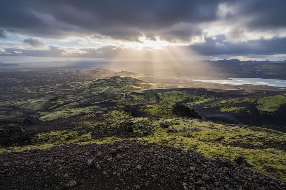
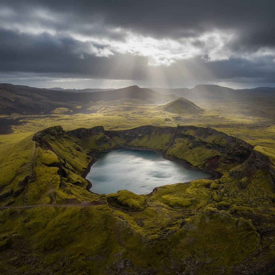
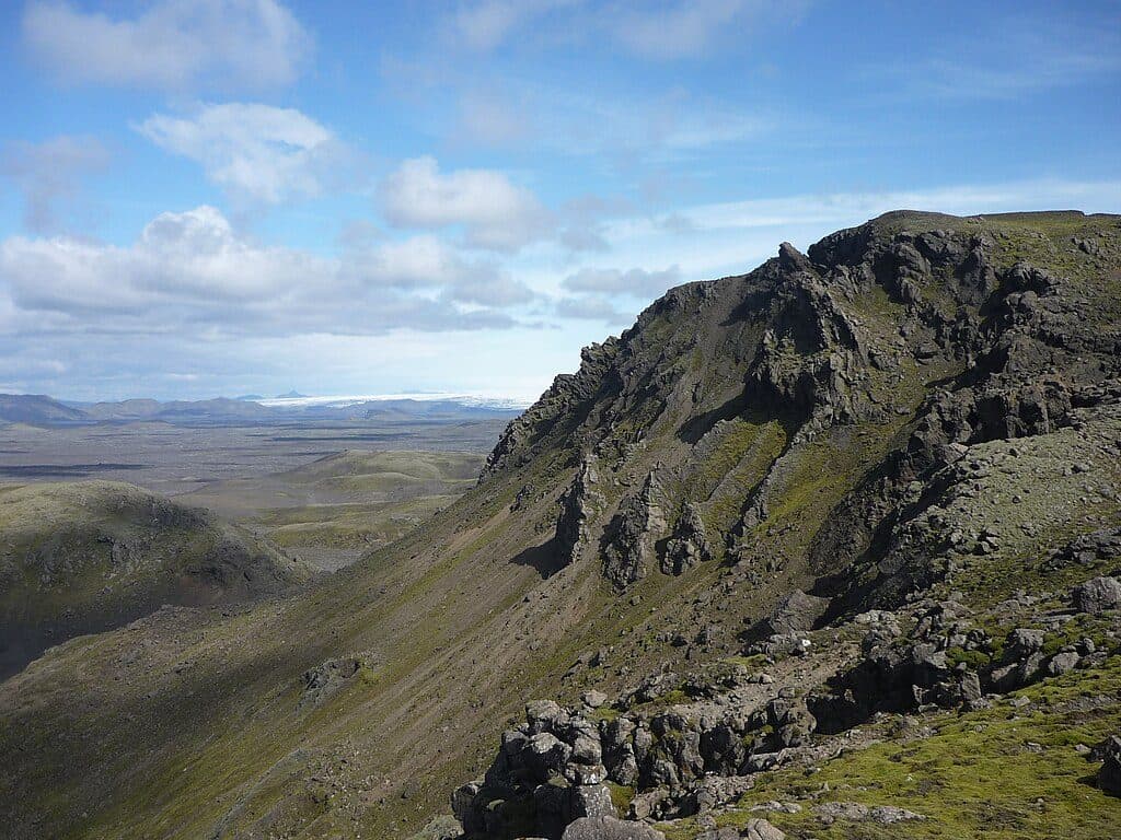
Laki (Lakagígar) sits in a stark, seldom-crowded corner of the park, rising about 200 meters above the surrounding lava fields. From its modest summit you get a grandstand view over a serried row of craters, with small crater pools and big-sky panoramas that put Iceland’s volcanic story front and center. It’s a rewarding stop for geology-curious travelers who don’t mind a bit of adventure.
Getting There
Access is via the Highlands: from Kirkjubæjarklaustur on the South Coast, take F206 and then the F207 loop to the Laki car park. This is true F-road driving—expect rough tracks and several river fords. A high-clearance 4WD is essential, and the approach commonly takes 1.5–3+ hours each way depending on conditions, vehicle, and your comfort with fording. If any crossing looks questionable, turn back.
Seasonality and Road Openings
These tracks typically open for summer only, often not until mid-to-late June. Early June can still be gated, and by September rain can raise rivers and make crossings impassable. Always check current conditions before committing; if things deteriorate, there’s no shame in retreating.

What You’ll Do
From the small car park, a well-signed loop of roughly 3.5 km takes you up and around Mount Laki for sweeping views of the crater row. You can pair the summit circuit with short explorations of nearby craters and photogenic pools. On fair-weather days, the hike is not too difficult and delivers outsized scenery for the effort.
Facilities
Amenities are minimal: a small parking area, basic toilets, and often a seasonal ranger who can offer up-to-date info (and sometimes brief guided walks). There’s no food or water on-site and no fuel beyond the Ring Road—stock up in Kirkjubæjarklaustur. A simple mountain hut at Blágil along the approach can serve as a base if you want a head start; book ahead.
Safety and Driving Tips
Glacial rivers on the approach can deepen over the course of a day. Drive slowly, assess crossings carefully, and only proceed if you’re confident. If you lack fording experience, consider a guided super-jeep tour instead. Bring full fuel, food, warm/waterproof layers, and offline maps. If conditions or river levels spike, turn back.
Best Time to Visit
Summer only, when F-roads are open. Aim for a clear-weather day for the big views and start early to give yourself plenty of margin for the drive, the summit loop, and unplanned delays at river crossings. Crowds are generally light—even in peak season—thanks to the remote approach.
Is It Worth It?
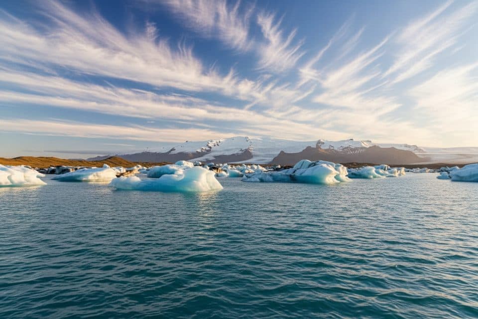
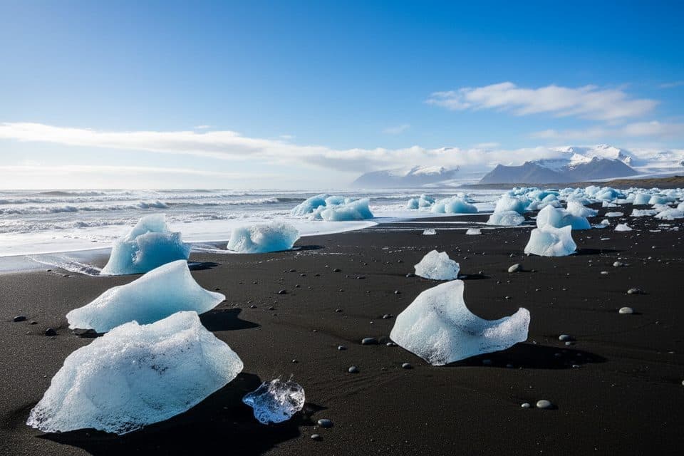
If you’re chasing remote volcanic landscapes, absolutely—Laki is a highlight. If your time is short or you’re not comfortable with F-roads and fords, focus on easier-access areas like Skaftafell, Jökulsárlón, or Fjallsárlón and save Laki for a future trip.
Nearby Add‑Ons
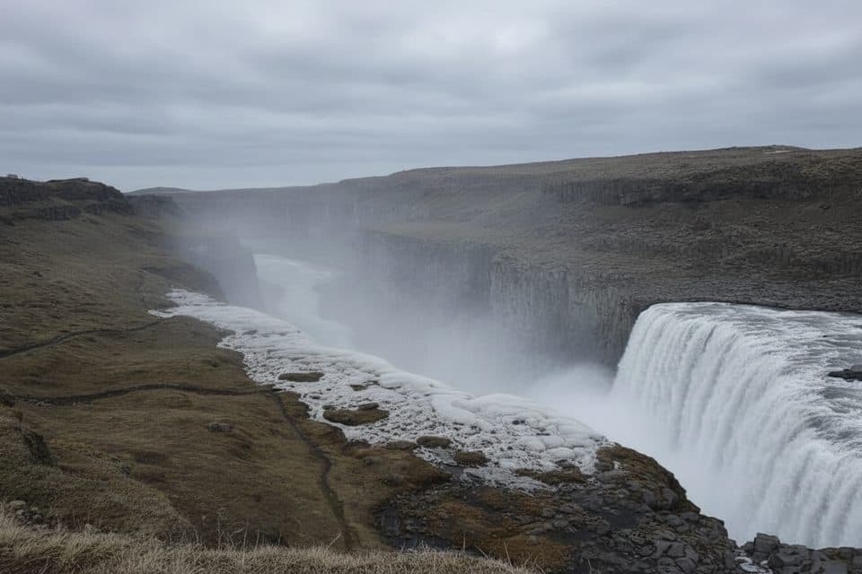
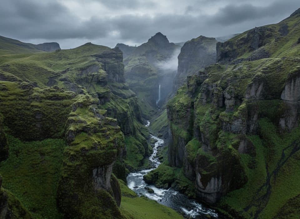
Fagrifoss waterfall lies along the route and is a worthwhile stop (conditions permitting). Fjaðrárgljúfur canyon makes a nice add-on back near the Ring Road.
Where it is
64.0647, -18.2261Tips for Laki (Mount Laki)
- 01Fuel up and stock food/water in Kirkjubæjarklaustur before leaving the Ring Road.
- 02Check F-road openings and river conditions the morning you go; gates can stay closed into June.
- 03Plan a full day from the South Coast—driving time plus the summit loop adds up.
- 04Carry offline maps and warm, waterproof layers; services are nonexistent once you turn off Route 1.
- 05If you’re not comfortable fording, book a guided super‑jeep trip instead.
Amenities
Near Laki (Mount Laki)
All places →All trails →
0.5 mi awayLakagígarRemote crater chain with big views and a serious 4x4 approachParking · Restroom
3 mi awayTjarnargígurQuiet blue crater lake in the Laki lava fieldsParking · Scenic Viewpoint
6.5 mi awaySveinstindurShort, steep summit with sweeping views of Langisjór and glaciersTrailhead · Parking
7.4 mi awayBlágil CampsiteRemote Laki-base camp with paid hot showers and big-sky solitudeCampground · Restroom
38.2 mi awaySjónarnípa Viewpoint Trail (S6)Basalt falls plus a cliff-top glacier overlook in one tidy loop.Moderate · 4.6 mi · 2.5 hr
38.2 mi awayKristínartindar Trail (S4)Glacier panoramas with a steep, loose scree summit push.Challenging · 11.4 mi · 7 hr
38.2 mi awaySvartifoss Waterfall (Skaftafell)Basalt-column beauty via a short uphill walk from Skaftafell.Moderate · 2.1 mi · 1.5 hr
38.2 mi awaySvartifoss–Sjónarsker–Sel (S2)Basalt falls, big views, and turf houses in one tidy loopModerate · 3.6 mi · 2 hr