Know what facilities are nearby
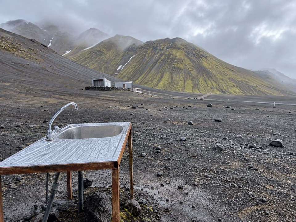
Flush toilets and running water are available nearby at the south end. The park doesn't say whether the water is potable, and it lists no food service for the campground, so plan your meals before heading in.
Campground · Vatnajökull National Park
A simple base beside one of Iceland’s clearest mountain lakes.
Overview
Map
Plan your stop

The highest, rockiest slopes around here are a summer buffet for grizzly bears.
Vatnajökull Tour Guide
Parkwolf is a GPS audio tour guide for Vatnajökull National Park. As you drive, it chimes in with what’s ahead: hidden gems, upcoming stops, history, geology, and wildlife, right through your car’s speakers.
Recorded for this place
Langisjór: Water and Volcanic Ridges“You're nearing the south end of Langisjór, a twenty-kilometre lake framed by volcanic ridges. I'd stop at the shore before committing to a long walk; blue water, black pumice and moss-green slopes are the reason to come.”
Plays as you drive up to Langisjór Campground in the Parkwolf Vatnajökull Tour Guide.
More stories near here in the app
“Fantastic app with many points of information… It’s great to just turn on while you’re driving and it gives you an audio tour of the national Park. We love it!!!!”


Guide
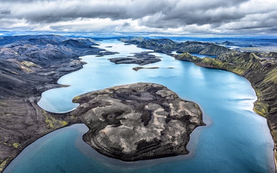
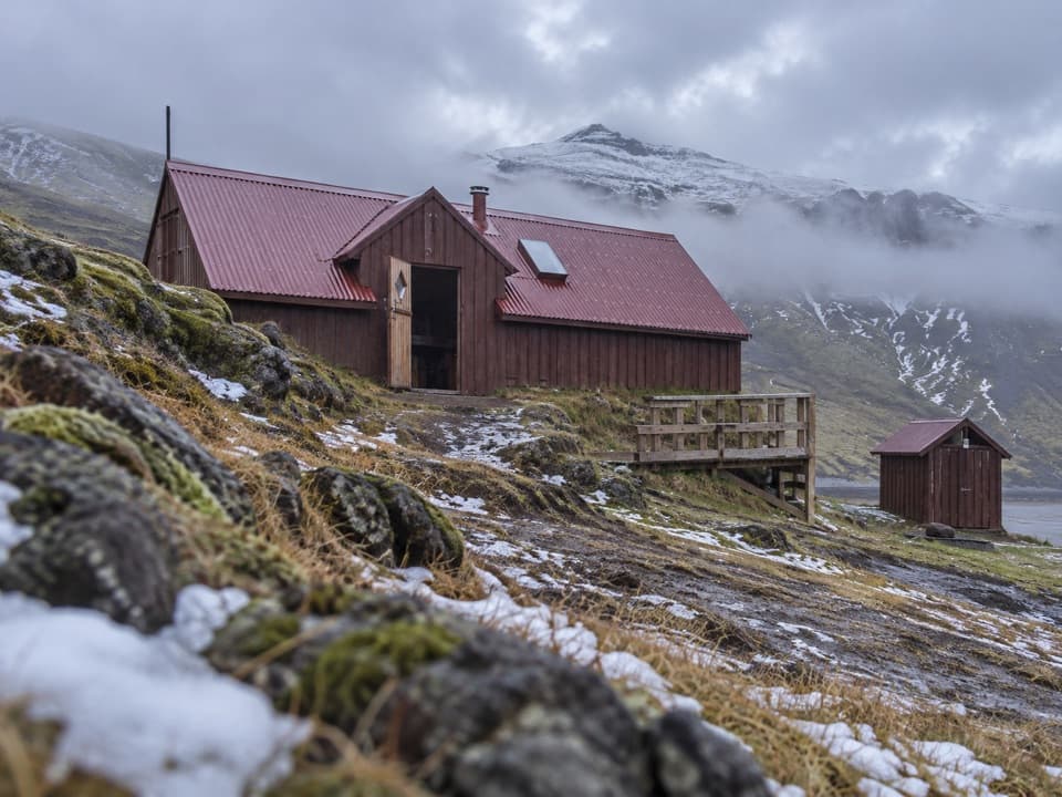
Langisjór Campground is a small, park-run campsite on pumice at the southern end of Langisjór. It's a basic overnight base beside a 20-kilometre mountain lake; the park describes its services as minimal, so come for the setting rather than a full-service campground.
Reaching Langisjór is a highland drive for a four-wheel-drive vehicle, with several unbridged river crossings. The road generally opens at the beginning of July, but that's a usual pattern, not a live condition report. Check with park rangers before setting out.
Langisjór is about 20 kilometres long and reaches 74 metres deep. A tributary from the Skaftá river flowed into it during the first half of the 20th century, adding glacial sediment that turned the water ash-grey. The park now describes it as one of Iceland's clearest mountain lakes.
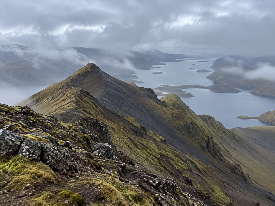
The park describes blue water, moss-green mountains, black pumice and a white glacier around the lake. Hyaloclastite ridges encircle it, a regional landform the park calls globally unique. Shepherds are believed to have first named it Skaftárvatn; geologist Þorvaldur Thoroddsen later gave it the name Langisjór. Camp on pumice and stay on existing paths, since moss recovers slowly after disturbance.
Wildlife
 23 sightingsGrey SealMost seen around 5 AMSighting map
 260 sightingsHarbor SealMost seen around 11 AMSighting map
 184 sightingsCaribouMost seen around 7 PMSighting map
 62 sightingsArctic FoxMost seen around 8 PMSighting map
 169 sightingsWhooper SwanMost seen around 5 PMSighting map
 68 sightingsAtlantic PuffinMost seen around 7 PMSighting map
Sighting maps show where each species has been reported across Vatnajökull. Wildlife moves, so no sighting is guaranteed.
Keep exploring
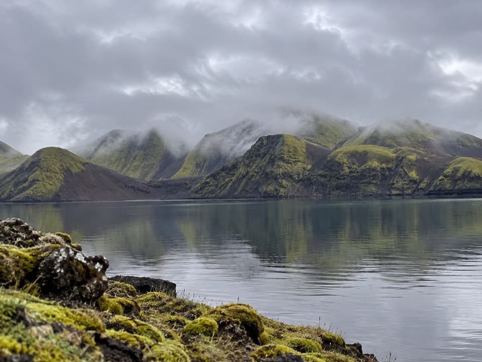 ModerateFagralón8 km · 3 hr · 0.8 km awayA quiet, unmarked walk to a highland lake beneath volcanic ridges.
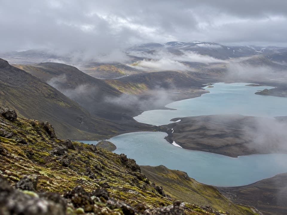 ChallengingSveinstindur Summit Trail (E4)3.5 km · 3.5 hr · 1.9 km awayA steep climb earns a sweeping view of Langisjór and the highlands.
Parkwolf’s Vatnajökull ranking

The audio tour guide for the drive, plus offline maps, trails, and wildlife heatmaps for when the signal drops.