Parking
Use the small E4 car park southwest of Sveinstindur, not the Langisjór information point or another pullout. Reach it via F235 from F208; the highland approach is rough, seasonal and includes river crossings.
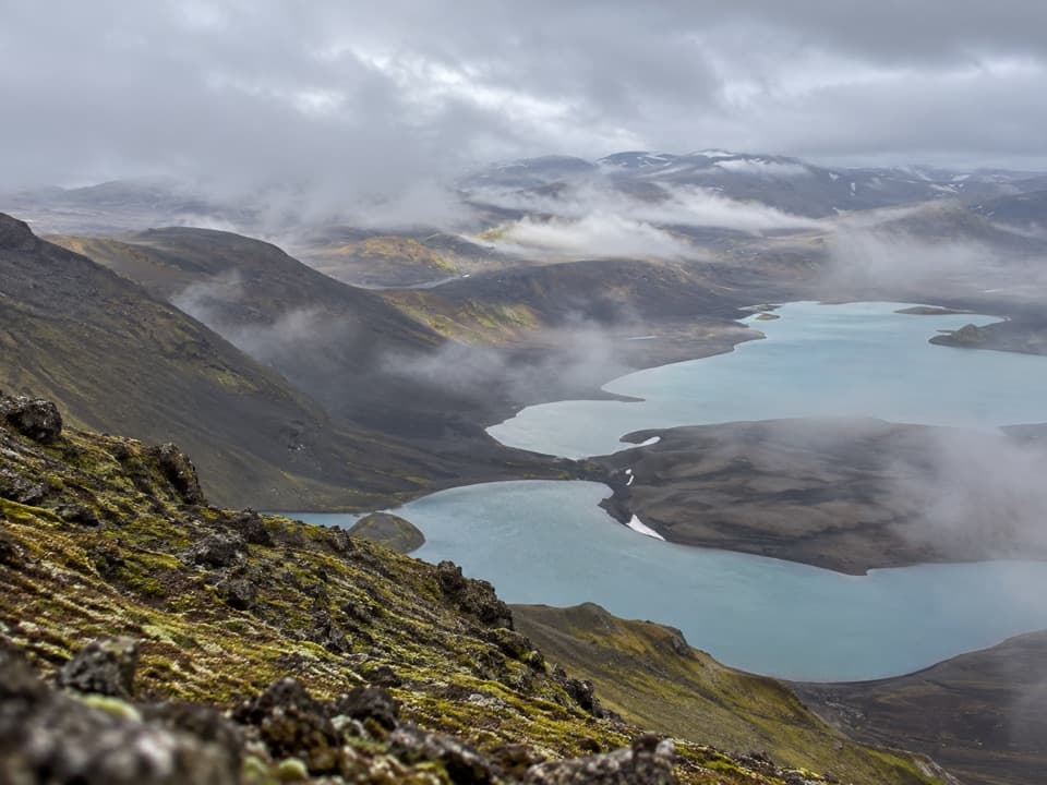
#10 of 92 trails in Vatnajökull
Vatnajökull National Park
A steep climb earns a sweeping view of Langisjór and the highlands.
Overview
Map & elevation
Plan your hike

The highest, rockiest slopes around here are a summer buffet for grizzly bears.
Vatnajökull Tour Guide
Parkwolf is a GPS audio tour guide for Vatnajökull National Park. As you drive, it chimes in with what’s ahead: hidden gems, upcoming stops, history, geology, and wildlife, right through your car’s speakers.
Recorded for this trailhead
Sveinstindur: The Climb Above Langisjór“Up ahead is the starting point for Sveinstindur, the mountain above Langisjór. The summit gives you a long view along the lake, with distant ice caps visible on a clear day.”
Plays as you drive up to this trailhead in the Parkwolf Vatnajökull Tour Guide.
More stories near here in the app
“Fantastic app with many points of information… It’s great to just turn on while you’re driving and it gives you an audio tour of the national Park. We love it!!!!”


Trail guide
Sveinstindur’s E4 is a steep summit hike from the small car park southwest of the mountain to its 1,089 m top, then back the same way. The mapped route is about 3.5 km (2.2 miles) round trip, or 1.75 km each way. The uphill leg is often rounded to 2 km; a longer published distance can include a different start near the Langisjór information point. Allow about 3.5 hours for the return. A 2–3 hour estimate applies to the ascent alone. The climb gains about 400 m, so the short distance does not mean an easy walk. There is no scrambling on the documented line, but steep, soft ground makes it a committed climb.
The tread is visible from the west-side car park and marked yellow. The first slope is steep over soft ground. It eases onto a flatter shoulder, where the view opens south and Langisjór appears to the north about halfway up. Past the shoulder, a second steep pitch crosses looser, crumbly ground. Those two climbs can slow you more than the mileage suggests, and the same loose surface matters on the way down. A cairn marks the summit.
Langisjór stretches for more than 20 km below the summit, edged by dark sand and green ridges. On a clear day the panorama can include Vatnajökull and Mýrdalsjökull, the Lakagígar craters, the Skaftá river and Uxatindar. Cloud can hide the distant ice caps, so treat the view as visibility-dependent. For a phone photo, use the lake’s bends and the dark ridge as foreground and frame Uxatindar with Skaftá when the southern view is clear; a blank sweep of sky loses the scale that makes this summit distinctive.
The ridges around Langisjór and the crater rows farther west are part of a landscape shaped by volcanic fissures and glacial rivers. From the summit, the blue lake, black sand plains and green mountain slopes sit together in one view. It is a useful place to see how water and volcanic ground meet across the highlands, rather than just another point on a summit list.
Use the small E4 car park southwest of Sveinstindur. It is separate from the Langisjór information point and other pullouts; starting elsewhere changes the measured distance. The approach follows F235 from F208. The highland roads are rough, include river crossings, and require a suitable four-wheel-drive vehicle. Their opening depends on snow and weather; they generally open from late June into autumn. Check current road conditions before leaving and stay on marked roads. Food, water and toilets at the trailhead were not confirmed; the basic campsite by Langisjór is a separate stop, not a service on the hike.
Around Sveinstindur is a separate, roughly 11 km route along the lake edge toward Fagralón and back around the mountain. It is longer and does not climb the summit; some of its old trails are not posted. Choose the E4 for the summit and the lake panorama, and the circuit for more time by the shoreline.
Wildlife
 23 sightingsGrey SealMost seen around 5 AMSighting map
 260 sightingsHarbor SealMost seen around 11 AMSighting map
 184 sightingsCaribouMost seen around 7 PMSighting map
 62 sightingsArctic FoxMost seen around 8 PMSighting map
 169 sightingsWhooper SwanMost seen around 5 PMSighting map
 68 sightingsAtlantic PuffinMost seen around 7 PMSighting map
Sighting maps show where each species has been reported across Vatnajökull. Wildlife moves, so no sighting is guaranteed.
Keep exploring
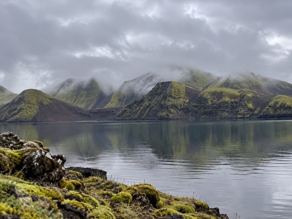 ModerateFagralón8 km · 3 hr · 1.2 km awayA quiet, unmarked walk to a highland lake beneath volcanic ridges.
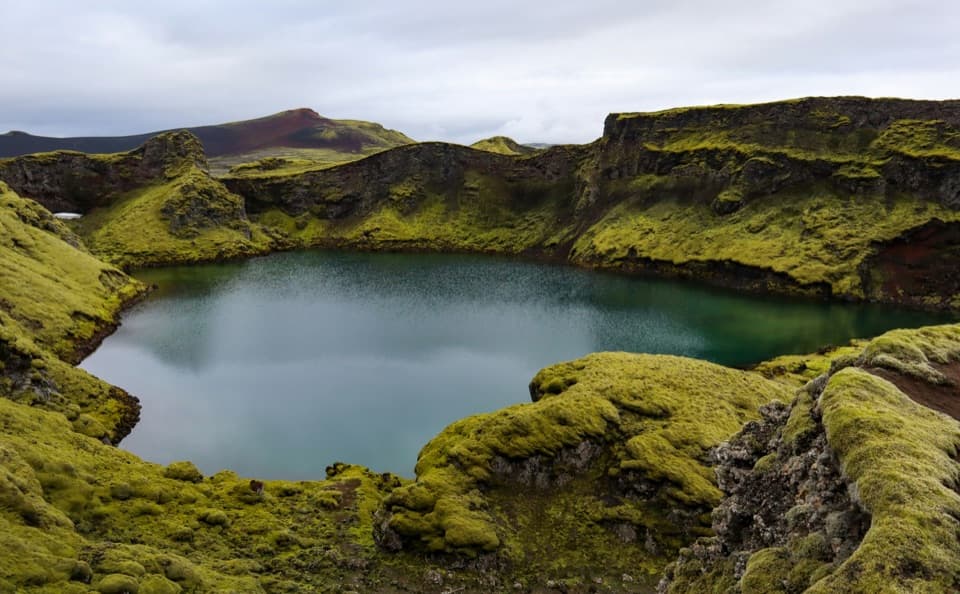 EasyTjarnargígur Trail1 km · 30 min · 9.4 km awayA short out-and-back to Tjarnargígur’s crater lake.
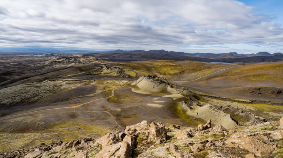 ChallengingLaki Summit Trail (L1)3 km · 1.5 hr · 10.7 km awayA short climb above Lakagígar’s crater chain.
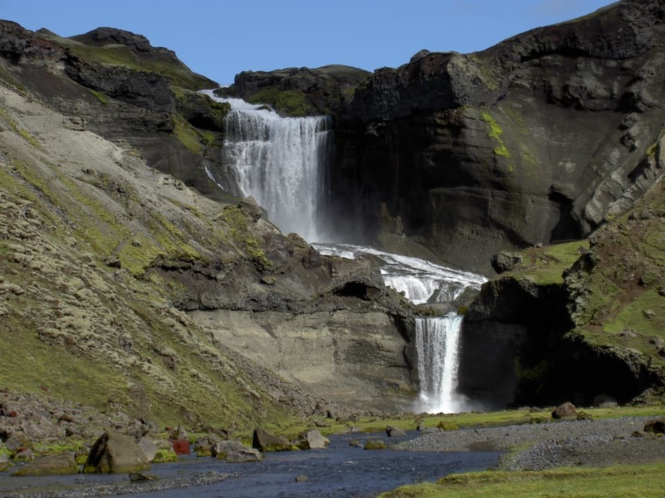 ModerateEldgjá–Ófærufoss Trail (E1)2.5 km · 1.3 hr · 18.3 km awayA short walk beneath Iceland’s vast fissure to Ófærufoss.
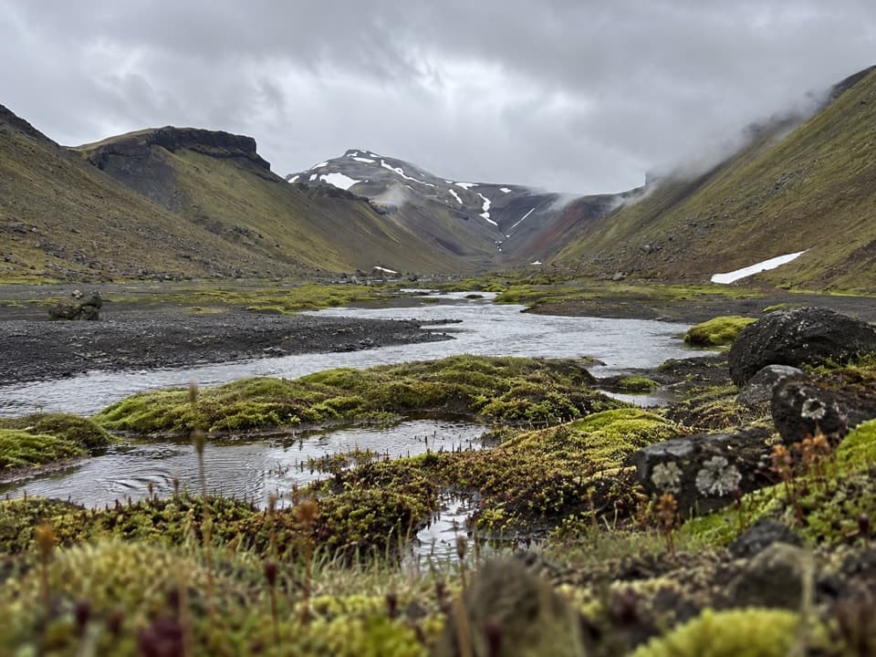 ChallengingStrangakvísl – Eldgjá4 km · 2 hr · 19.2 km awayCross the bridge, then follow Nyrðri Ófæra into Eldgjá
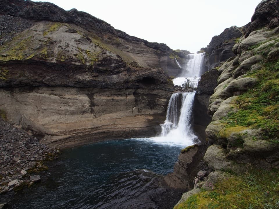 ChallengingGjátindur Summit Trail14 km · 7 hr · 19.2 km awayA summit hike above Ófærufoss and Eldgjá's vast volcanic fissure
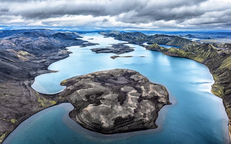 Sight · 0.9 km awayLangisjórBlue water, volcanic ridges, and a demanding highland drive.
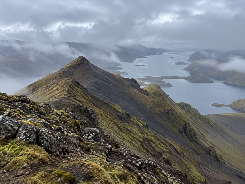 Sight · 1.4 km awaySveinstindurA steep climb opens onto remote Langisjór and the southern Highlands.
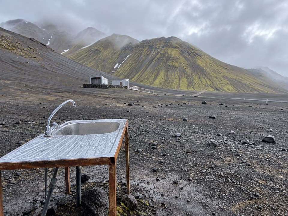 Campground · 1.9 km awayLangisjór CampgroundA simple base beside one of Iceland’s clearest mountain lakes.
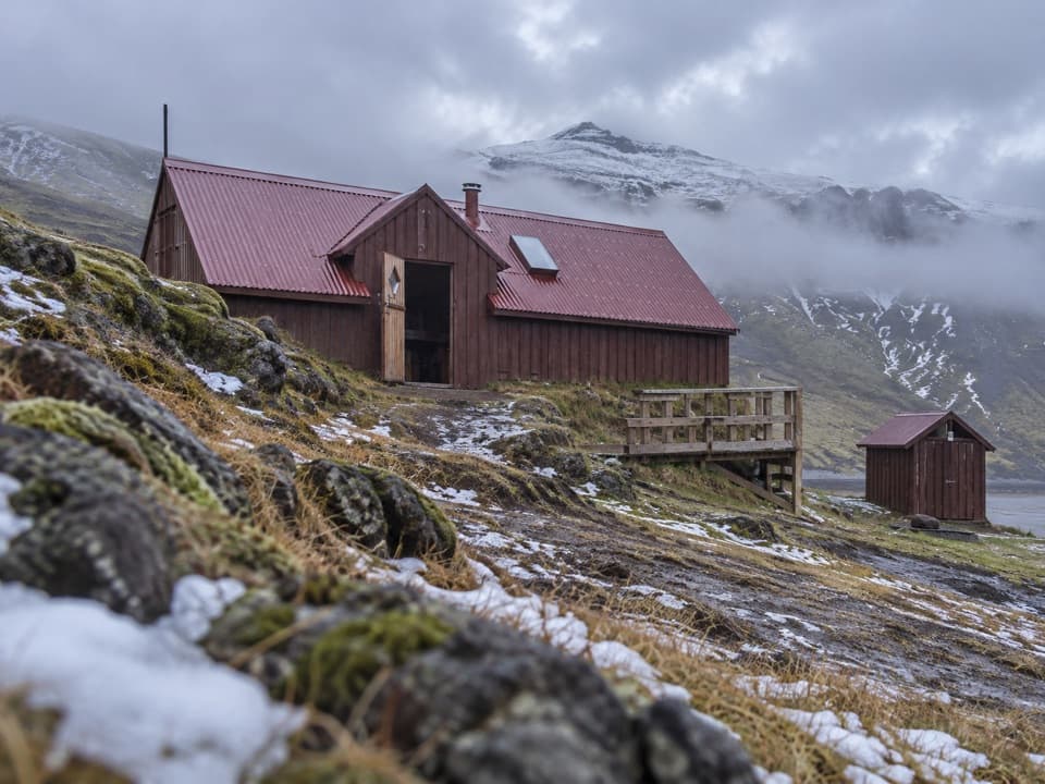 Lodging · 2.3 km awaySveinstindur HutA remote overnight hut beside the Skaftá below Sveinstindur.
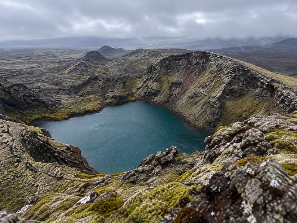 Sight · 9.4 km awayTjarnargígurA short walk reaches a crater lake and a curving lava channel.
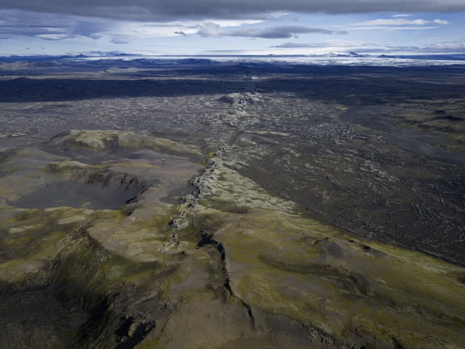 Sight · 10.8 km awayLaki Summit ViewpointWalk above a 27-kilometre line of craters.
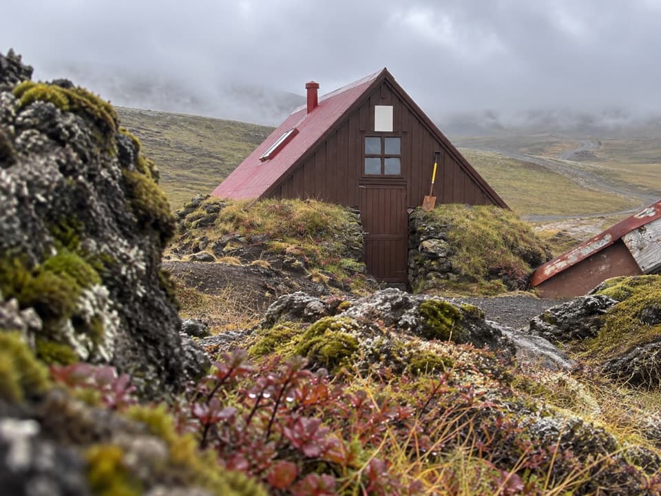 Lodging · 14 km awaySkælingar Hut and CampgroundA bare-bones hut and campsite on a remote highland route.
Parkwolf’s Vatnajökull ranking

The audio tour guide for the drive, plus offline maps, trails, and wildlife heatmaps for when the signal drops.




