Parking
Start at the south-end Langisjór car park beside the small campsite. Toilets and running water are nearby; there is no food service at the trailhead.
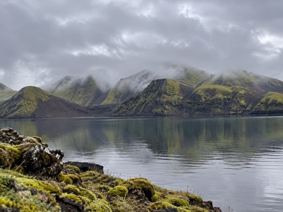
Vatnajökull National Park
A quiet, unmarked walk to a highland lake beneath volcanic ridges.
Overview
Map & elevation
Plan your hike

The highest, rockiest slopes around here are a summer buffet for grizzly bears.
Vatnajökull Tour Guide
Parkwolf is a GPS audio tour guide for Vatnajökull National Park. As you drive, it chimes in with what’s ahead: hidden gems, upcoming stops, history, geology, and wildlife, right through your car’s speakers.
Recorded for this trailhead
Langisjór: Water and Volcanic Ridges“You're nearing the south end of Langisjór, a twenty-kilometre lake framed by volcanic ridges. I'd stop at the shore before committing to a long walk; blue water, black pumice and moss-green slopes are the reason to come.”
Plays as you drive up to this trailhead in the Parkwolf Vatnajökull Tour Guide.
More stories near here in the app
“Fantastic app with many points of information… It’s great to just turn on while you’re driving and it gives you an audio tour of the national Park. We love it!!!!”


Trail guide
Fagralón is an unmarked out-and-back from the south-end Langisjór car park to a viewpoint near the lake. The regional hiking map puts that viewpoint about 4 km from the start, so plan on roughly 8 km (5 miles) there and back and about three hours. This outing turns back the way you came; the separate 11 km E5 continues around Sveinstindur.
Follow the rough vehicle track north of Sveinstindur and along Langisjór toward Fagralón. There are no waymarks. Near the lake, the mapped track ends about 150 m short of shore; the final approach is unmarked and not confirmed. Download the route for offline use, stay on existing paths, and turn back if the way ahead is unclear. The moss and pumice are slow to recover from trampling.
Fagralón means “beautiful lake.” Langisjór stretches between the Breiðbak and Fögrufjöll ridges, whose volcanic hyaloclastite gives this highland basin its shape. Langisjór was once gray with glacial sediment when a branch of the Skaftá flowed into it; its water is clear today. Give yourself time at the viewpoint to take in the long, quiet scale of the lake.
The south-end car park is beside a small, basic campsite, with toilets and running water nearby; there is no food service on the walk. Reaching Langisjór means driving F235, a four-wheel-drive-only road with several unbridged rivers that usually opens in early July. Check road conditions before setting out, and keep dogs on leash.
Wildlife
 23 sightingsGrey SealMost seen around 5 AMSighting map
 260 sightingsHarbor SealMost seen around 11 AMSighting map
 184 sightingsCaribouMost seen around 7 PMSighting map
 62 sightingsArctic FoxMost seen around 8 PMSighting map
 169 sightingsWhooper SwanMost seen around 5 PMSighting map
 68 sightingsAtlantic PuffinMost seen around 7 PMSighting map
Sighting maps show where each species has been reported across Vatnajökull. Wildlife moves, so no sighting is guaranteed.
Keep exploring
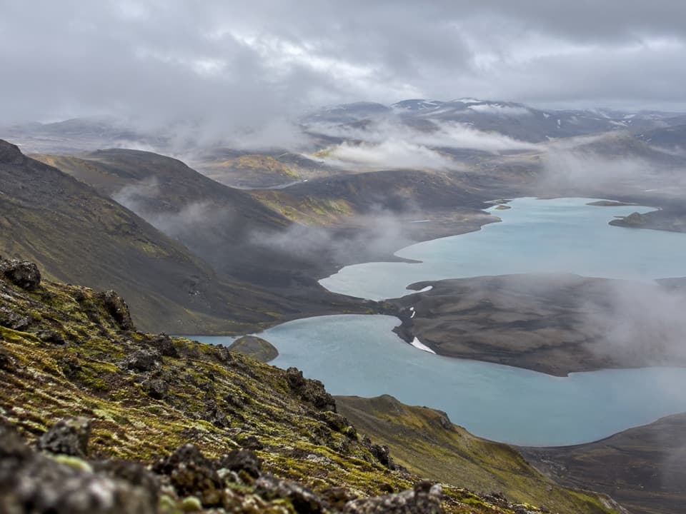 ChallengingSveinstindur Summit Trail (E4)3.5 km · 3.5 hr · 1.2 km awayA steep climb earns a sweeping view of Langisjór and the highlands.
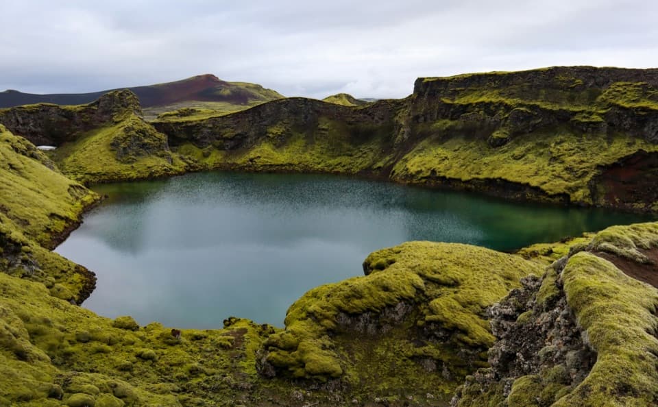 EasyTjarnargígur Trail1 km · 30 min · 9.7 km awayA short out-and-back to Tjarnargígur’s crater lake.
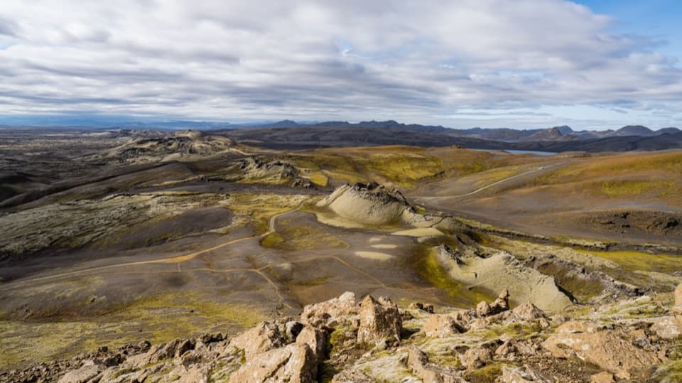 ChallengingLaki Summit Trail (L1)3 km · 1.5 hr · 10.6 km awayA short climb above Lakagígar’s crater chain.
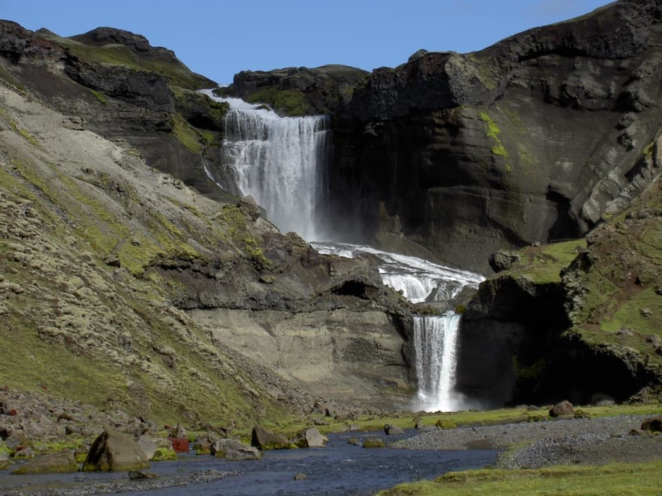 ModerateEldgjá–Ófærufoss Trail (E1)2.5 km · 1.3 hr · 19.4 km awayA short walk beneath Iceland’s vast fissure to Ófærufoss.
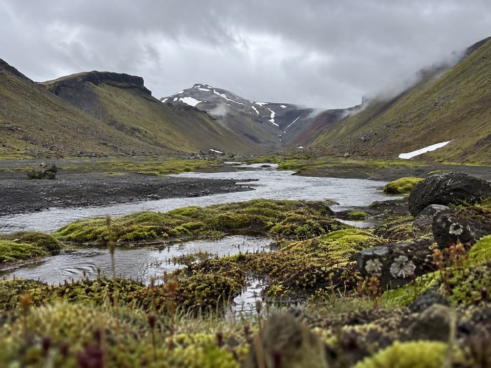 ChallengingStrangakvísl – Eldgjá4 km · 2 hr · 20.4 km awayCross the bridge, then follow Nyrðri Ófæra into Eldgjá
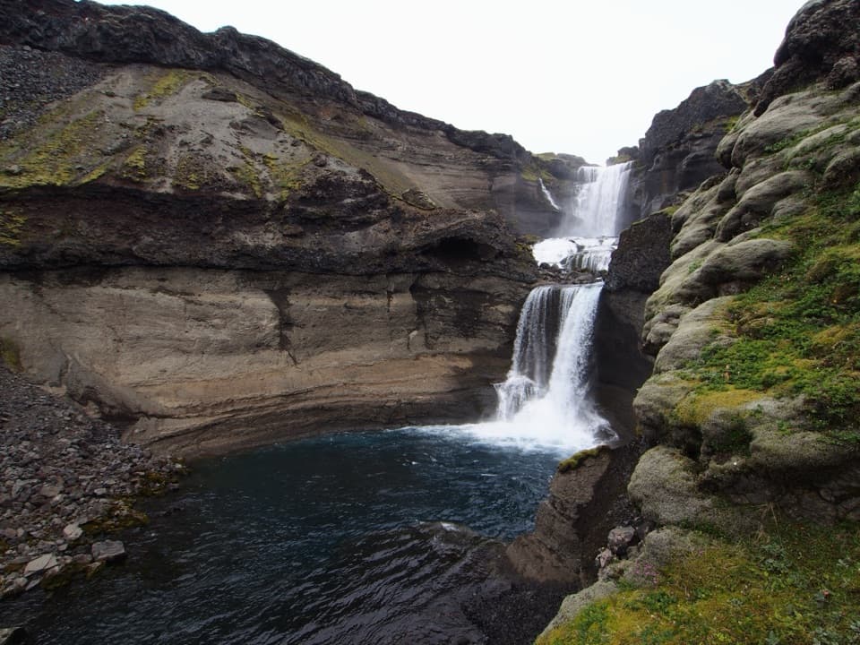 ChallengingGjátindur Summit Trail14 km · 7 hr · 20.4 km awayA summit hike above Ófærufoss and Eldgjá's vast volcanic fissure
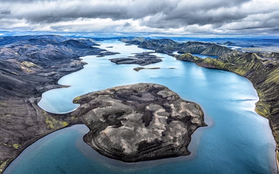 Sight · 0.5 km awayLangisjórBlue water, volcanic ridges, and a demanding highland drive.
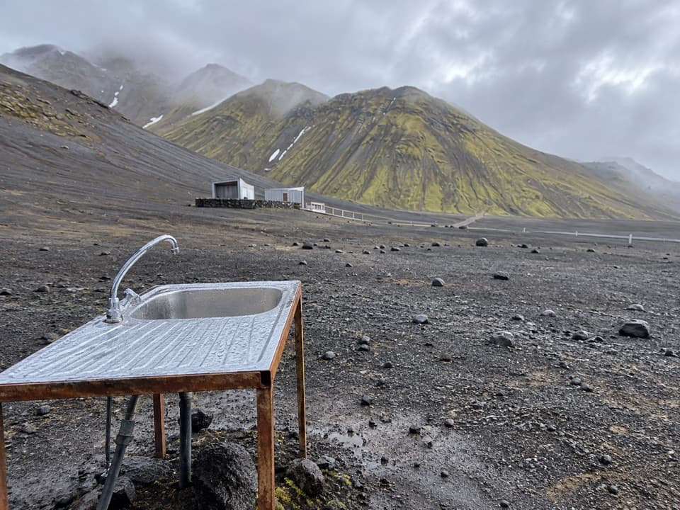 Campground · 0.8 km awayLangisjór CampgroundA simple base beside one of Iceland’s clearest mountain lakes.
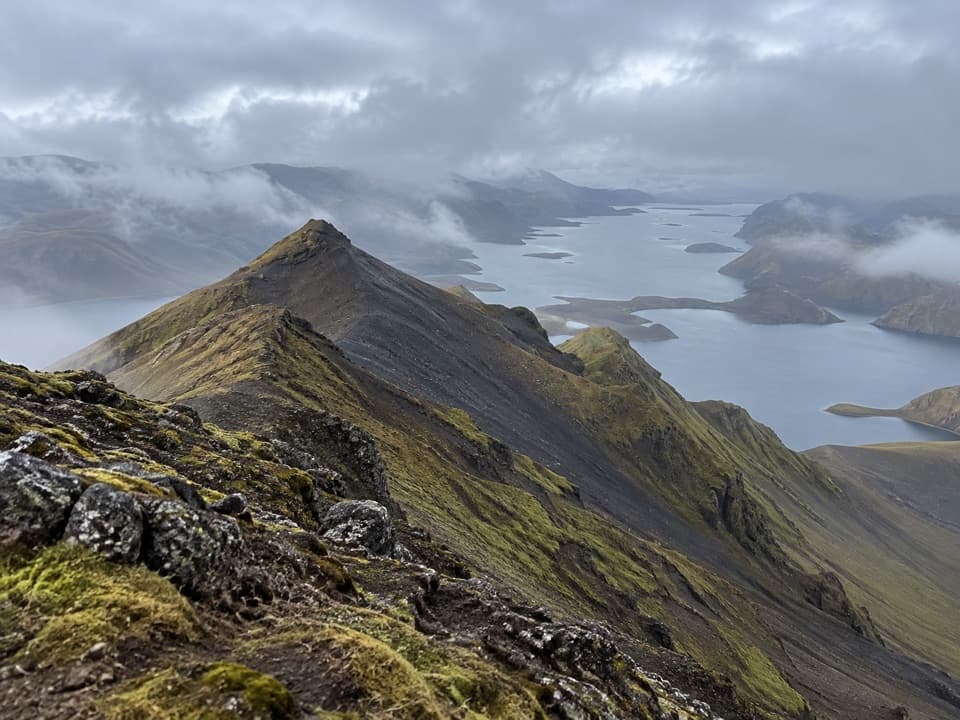 Sight · 0.9 km awaySveinstindurA steep climb opens onto remote Langisjór and the southern Highlands.
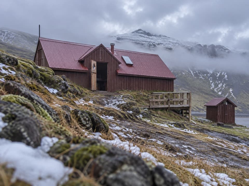 Lodging · 2.9 km awaySveinstindur HutA remote overnight hut beside the Skaftá below Sveinstindur.
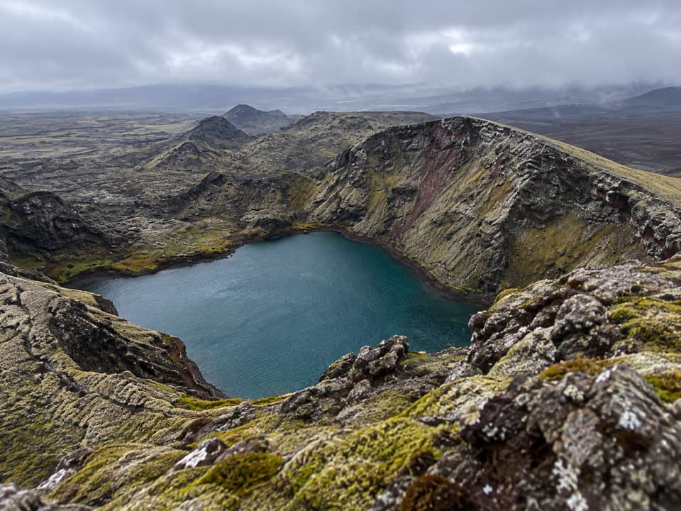 Sight · 9.8 km awayTjarnargígurA short walk reaches a crater lake and a curving lava channel.
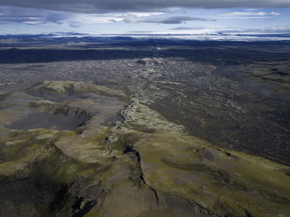 Sight · 10.6 km awayLaki Summit ViewpointWalk above a 27-kilometre line of craters.
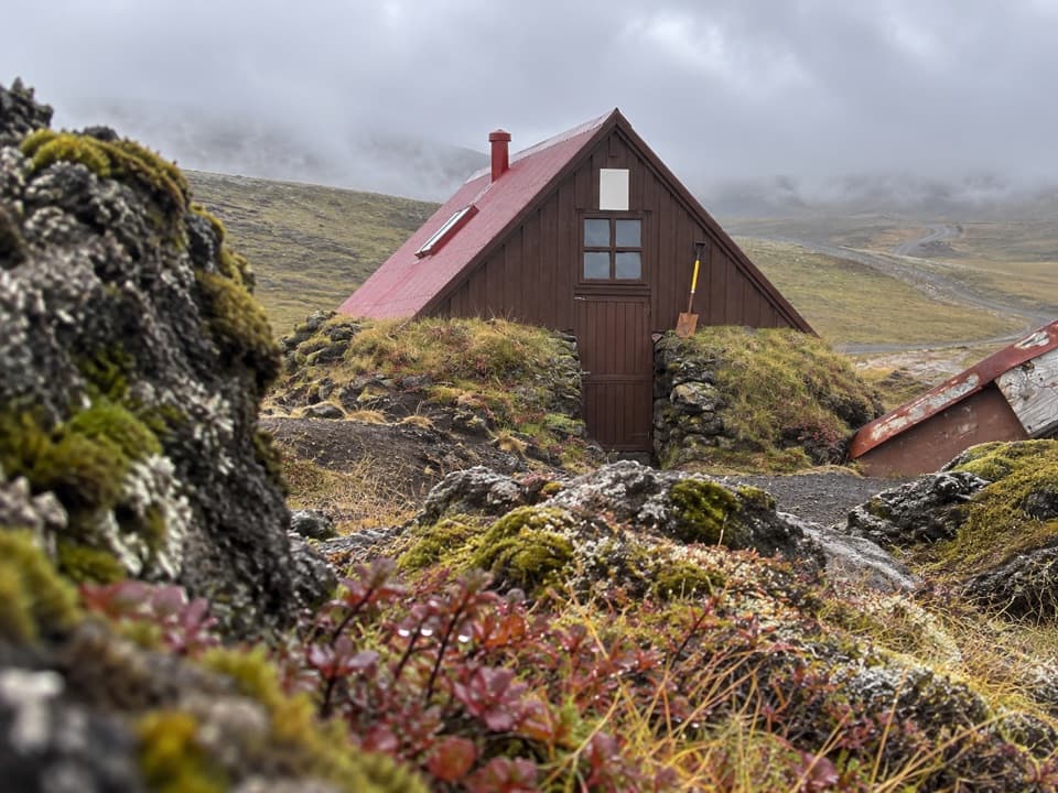 Lodging · 15.2 km awaySkælingar Hut and CampgroundA bare-bones hut and campsite on a remote highland route.
Parkwolf’s Vatnajökull ranking

The audio tour guide for the drive, plus offline maps, trails, and wildlife heatmaps for when the signal drops.




