Place · 1.1 mi away

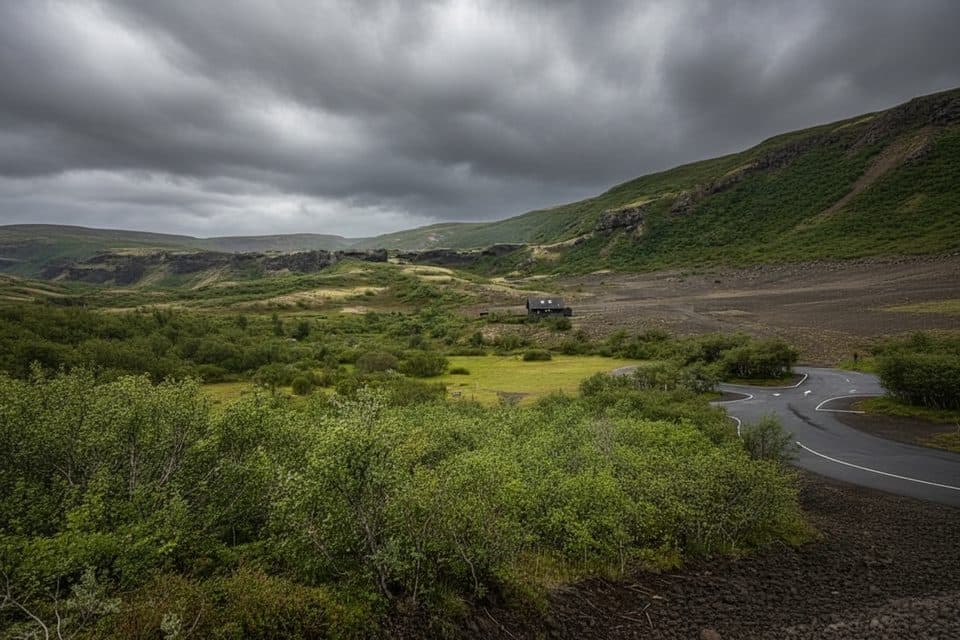
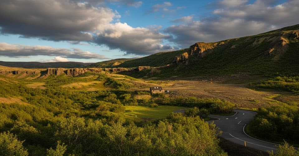
Perched above the Jökulsá á Fjöllum river in the Jökulsárgljúfur area, Rauðhólar Viewpoint puts you face to face with the park’s “red hills” — vivid scoria cones from a 6 km-long crater row that erupted 8–9 thousand years ago. It’s a compact outing with outsized scenery: red slopes, black basalt, and the river cutting through the Hljóðaklettar landscape.
Follow the park’s signed V4 Rauðhólahringur loop (about 5 km, typically 1.5–2 hours). The path serves up big river panoramas, sweeping looks toward Hljóðaklettar’s echoing cliffs, and close-up geology — from columnar basalt to honeycomb textures in nearby formations. Expect a few short, steep, and occasionally slippery bits (especially near the river or after rain), but most hikers find it a manageable half-day stop.
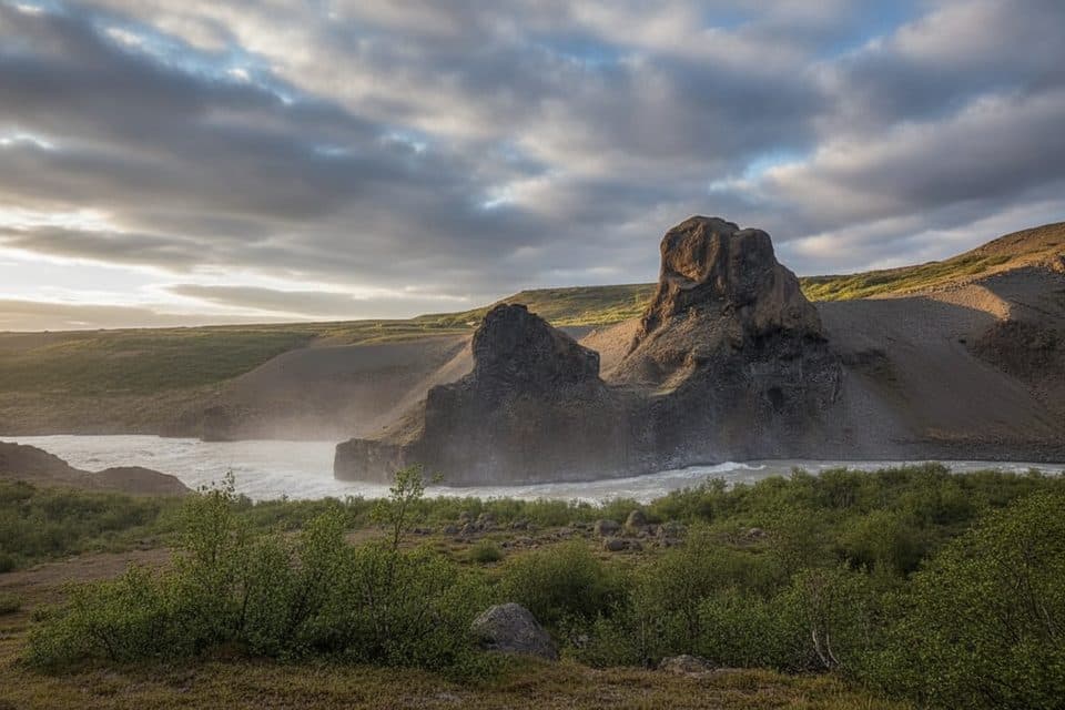
These red cones are classic scoria hills, part of a crater row that threads the canyon rim. Across the river, Hljóðaklettar’s unusual acoustics and sculpted columns have inspired local tales and nicknames for rock features — it’s a natural amphitheater of forms. Stay on marked paths; off‑trail walking is prohibited to protect fragile ground.
Rauðhólar sits about 15 km south of Ásbyrgi in the Vesturdalur area, reached via a paved access to the Hljóðaklettar/Vesturdalur trailheads. Start from the Vesturdalur (Hljóðaklettar) car park and follow the V4 signs. There’s also parking at Langavatnshöfði with views over the crater row. Facilities are limited here; plan to be self‑sufficient.
From the same area, the easy V2 spur to Tröllið highlights Hljóðaklettar’s acoustics and columns, while the V3 circle (more challenging) adds caves and more intricate basalt.
March through September usually offers the best conditions. Crowds are lighter than the park’s headliners; go early or late in the day for quieter trails and softer views. Outside that window, snow and ice can increase difficulty—check current conditions at Ásbyrgi before you commit.