Overview
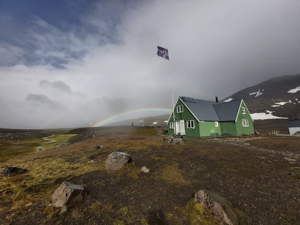
About Snæfellsskáli Hut and Campground
Why stop
- A hut and campground beside marked walks in a remote highland setting.
Heads up
- The route in crosses two fords and calls for a 4WD vehicle.
Map
Where it is

The highest, rockiest slopes around here are a summer buffet for grizzly bears.
Vatnajökull Tour Guide
Your drive to Snæfellsskáli Hut and Campground, narrated.
Parkwolf is a GPS audio tour guide for Vatnajökull National Park. As you drive, it chimes in with what’s ahead: hidden gems, upcoming stops, history, geology, and wildlife, right through your car’s speakers.
Recorded for this place
Snæfellsskáli: Beneath the Ice-Capped Volcano“You're nearing Snæfellsskáli, the mountain hut and campground below Snæfell.”
Plays as you drive up to Snæfellsskáli Hut and Campground in the Parkwolf Vatnajökull Tour Guide.
More stories near here in the app
- The Snipe's Bending Bill
- Patterns Cut into Christmas Bread
- A Sandpiper Among the Waves
- Bread Baked Under the Ground
- 298 audio storiesacross Vatnajökull’s roads, triggered by GPS as you drive
- Wildlife heatmapsfor Grey Seal, Harbor Seal, Caribou, and 13 more
- Works offlinemaps, 92 trails, 75 places, and audio download before you lose signal
- CarPlay readysimple controls built for the drive
“Fantastic app with many points of information… It’s great to just turn on while you’re driving and it gives you an audio tour of the national Park. We love it!!!!”


Guide
More about Snæfellsskáli Hut and Campground
A proper highland baseSnæfellsskáli is the park-run mountain hut and small campground below Snæfell, making a…
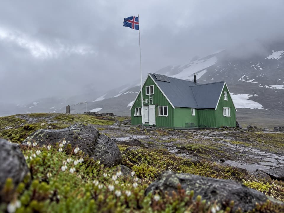
Snæfellsskáli is the park-run mountain hut and small campground below Snæfell, making a practical overnight base for the remote highlands on Vatnajökull’s eastern side. It is worth the detour if you want to hike here or stay in the interior; it is a long way to come for a quick roadside look. The hut has sleeping-bag accommodation for up to 45 people, and the campground takes tents and caravans. The park lists cooking facilities and water, but no meal service, so bring food and check water arrangements before relying on them.
The road is part of the tripF909 is a remote highland road with two fords on the approach.
F909 is a remote highland road with two fords on the approach. The park says summer access is generally suitable for a four-wheel-drive jeep, so plan on 4WD and check road-opening and ford conditions before setting out. The road usually opens in early summer, but weather and road conditions determine the actual date. The hut may be available year-round; reaching it in winter can require skis or a snowmobile, and a booking does not mean F909 is open.
Walks start from the hutThe marked S3 Bergskjár walk is listed at 1 km and about one hour, but is rated challenging.
The marked S3 Bergskjár walk is listed at 1 km and about one hour, but is rated challenging. The S1 Snæfell summit route is 6.2 km one way, listed at four to seven hours, and also rated challenging. Check conditions and leave enough time for the route you choose; the short option is not described as an easy walk.
A volcano above the plateauSnæfell rises to 1,833 m, about 1,000 m above the surrounding plateau, and the park describes…
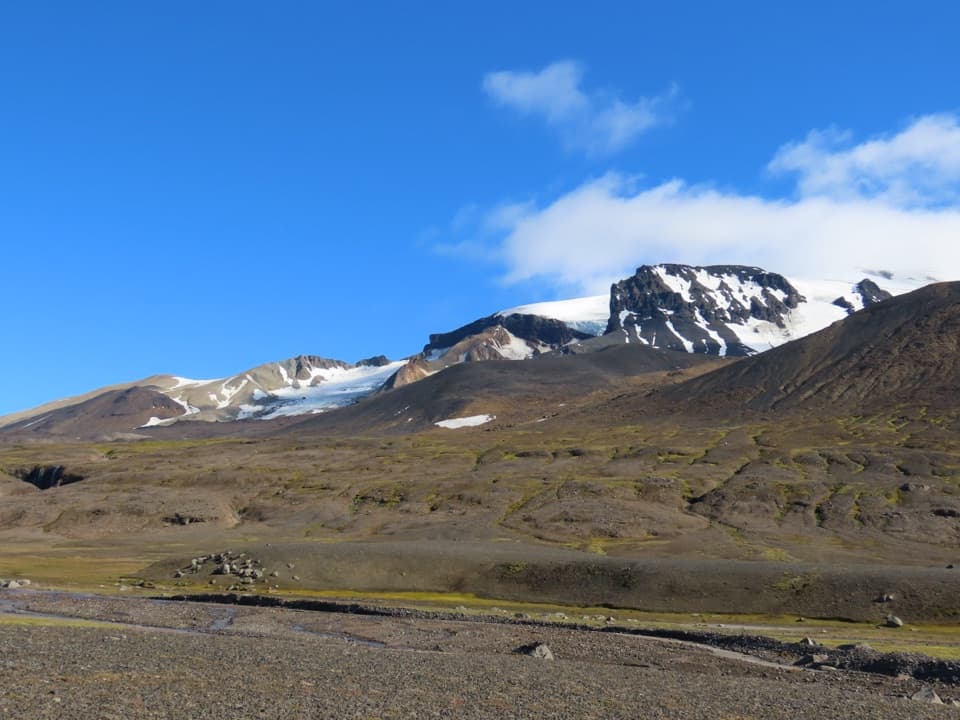
Snæfell rises to 1,833 m, about 1,000 m above the surrounding plateau, and the park describes it as Iceland’s tallest mountain apart from the ice caps. It is an ancient central volcano whose rock layers formed through repeated eruptions over roughly 400,000 years, often beneath Ice Age glaciers. A dome of ice still caps the mountain and feeds glacier tongues.
Glaciers, rivers and wetlandsGlaciers and rivers have shaped the surrounding highlands.
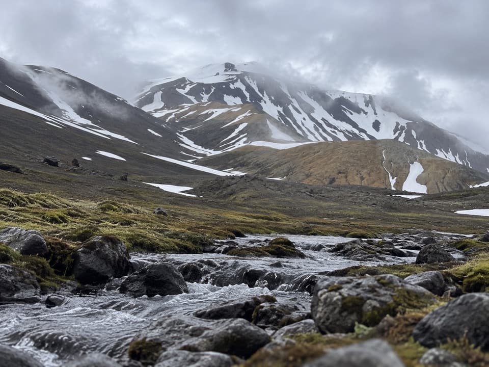
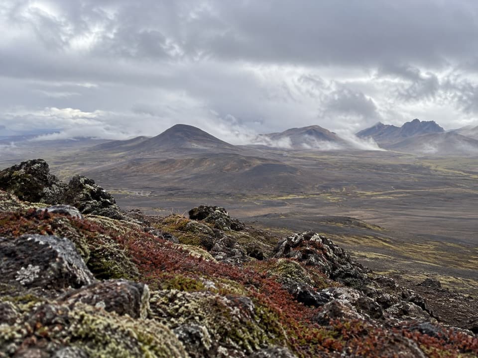
Glaciers and rivers have shaped the surrounding highlands. Brúarjökull forms the plateau’s southern edge; glacier surges left mounds called Töðuhraukar, eskers and ridges, while deposits from Jökulsá í Fljótsdal built Eyjabakkar over thousands of years. Snæfell and Eyjabakkar were recognized as an internationally important Ramsar wetland in 2013, valued for waders and waterfowl. The park also describes the highlands here as unusually well vegetated for Iceland and rich in wildlife.
Wildlife
Wildlife in Vatnajökull
 23 sightingsGrey SealMost seen around 5 AMSighting map
 260 sightingsHarbor SealMost seen around 11 AMSighting map
 184 sightingsCaribouMost seen around 7 PMSighting map
 62 sightingsArctic FoxMost seen around 8 PMSighting map
 169 sightingsWhooper SwanMost seen around 5 PMSighting map
 68 sightingsAtlantic PuffinMost seen around 7 PMSighting map
Sighting maps show where each species has been reported across Vatnajökull. Wildlife moves, so no sighting is guaranteed.