Snæfell Hut – Laugarfell via Þjófadalir in Vatnajökull National Park

Vatnajökull National Park

Snæfell Hut – Laugarfell via Þjófadalir

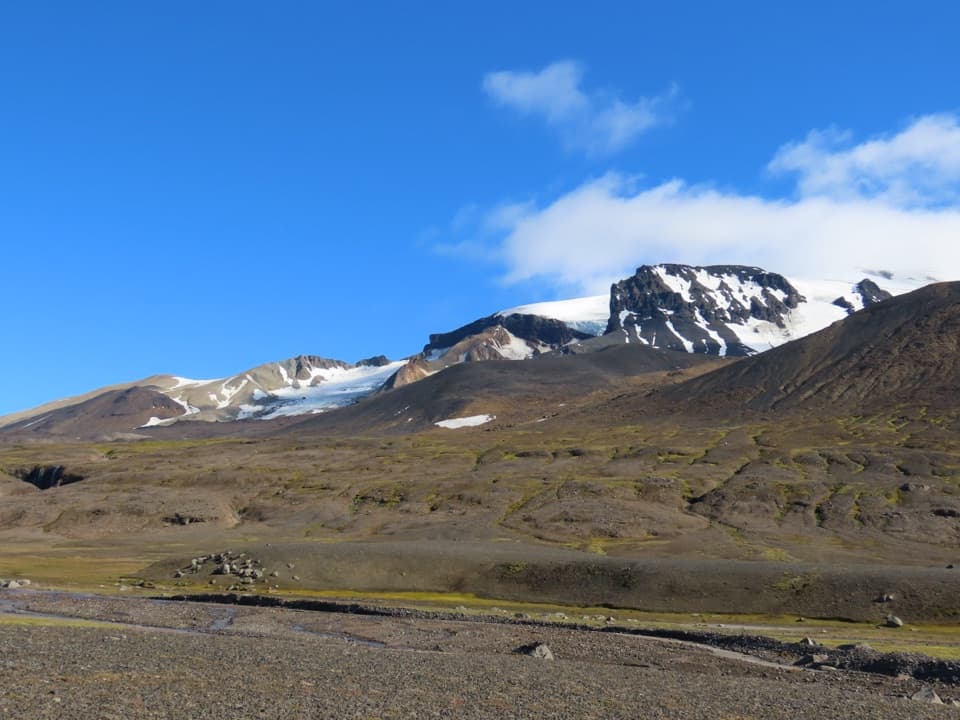
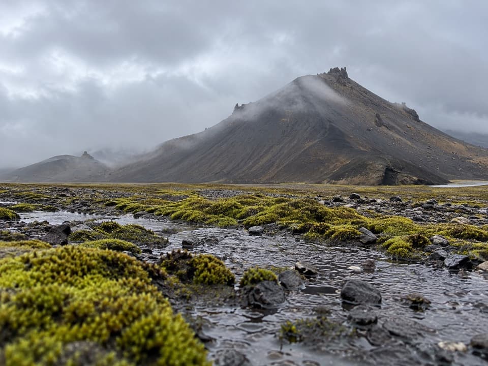
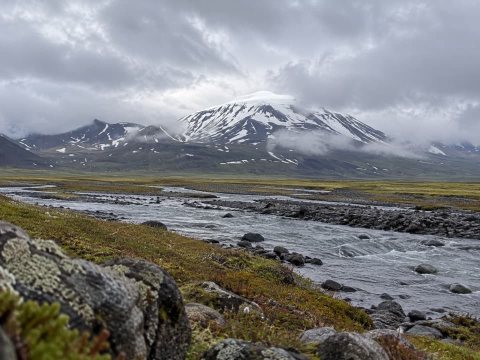
A demanding highland traverse through Þjófadalir to Laugarfell.

Photo: Thorhallur90 / Wikimedia Commons / CC BY-SA 4.0

Length
30km
Time
6.5hr
Elev. change
335m
Difficulty
Challenging
  • High point 875 m

Hear the audio tour

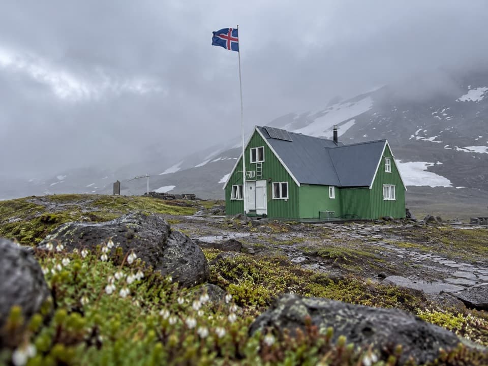
Snæfellsskáli: Beneath the Ice-Capped Volcano

Overview

About Snæfell Hut – Laugarfell via Þjófadalir

Why go

  • A rare hut-to-hut crossing through the Þjófadalir highlands.
  • Finishes at Laugarfell’s lodging, food and hot springs when open.

Heads up

  • The 30 km one-way distance needs end-to-end transport or an overnight plan.
  • Hafursá crossing details and seasonal road access need checking.

Map & elevation

The route

Loading the Vatnajökull map
Full map
Elevation540–875 m
TrailheadSnæfellsskáli / Snæfell hut64.80417, -15.64333
Keep this map with you offline in the Parkwolf app

Plan your hike

Before you go

Parking

Start at Snæfellsskáli (Snæfell Hut), reached via F909; the park’s ranger-station coordinates are 64.804167, -15.643333. No separate lot or parking capacity is specified. This is a one-way route ending at Laugarfell, so arrange a pickup or overnight at that end before starting.

Safety

This is a remote 30 km traverse with a named crossing of Hafursá; published directions do not say whether it is bridged or describe crossing conditions. Confirm the crossing status with park staff. Access roads are seasonal and weather-dependent. Carry communications and navigation equipment and tell a ranger about your long-distance plan.

A park ranger sits on a dash-mounted phone, talking, as Parkwolf’s Tour Guide plays “Army Cutworm Moths: A Grizzly Bear Buffet” on Grand Loop Road below Dunraven Pass in Yellowstone
Parkwolf Tour GuideThe highest, rockiest slopes around here are a summer buffet for grizzly bears.

Vatnajökull Tour Guide

Your drive to Snæfell Hut – Laugarfell via Þjófadalir, narrated.

Parkwolf is a GPS audio tour guide for Vatnajökull National Park. As you drive, it chimes in with what’s ahead: hidden gems, upcoming stops, history, geology, and wildlife, right through your car’s speakers.

Recorded for this trailhead

Snæfellsskáli: Beneath the Ice-Capped Volcano
0:00 / 0:31
“You're nearing Snæfellsskáli, the mountain hut and campground below Snæfell.”

Plays as you drive up to this trailhead in the Parkwolf Vatnajökull Tour Guide.

More stories near here in the app

  • The Snipe's Bending Bill
  • Patterns Cut into Christmas Bread
  • A Sandpiper Among the Waves
  • Bread Baked Under the Ground
  • 298 audio storiesacross Vatnajökull’s roads, triggered by GPS as you drive
  • Wildlife heatmapsfor Grey Seal, Harbor Seal, Caribou, and 13 more
  • Works offlinemaps, 92 trails, 75 places, and audio download before you lose signal
  • CarPlay readysimple controls built for the drive
★★★★★
“Fantastic app with many points of information… It’s great to just turn on while you’re driving and it gives you an audio tour of the national Park. We love it!!!!”
JMJamesApp Store review
Download Parkwolf on the App StoreGet Parkwolf on Google Play

4.7 from 8,600+ ratings

Trail guide

Hiking Snæfell Hut – Laugarfell via Þjófadalir

A full-day hut-to-hut crossingS9 is a 30 km (18.

S9 is a 30 km (18.6 mi) one-way traverse from Snæfellsskáli to Laugarfell through the highlands south of Snæfell. Allow 6–7 hours for this challenging, remote day. It is a remote, point-to-point day, so arrange transport at Laugarfell or plan an overnight before you start. If you want to return to Snæfellsskáli on foot, S11 is a separate 28–30 km loop.

South through ÞjófadalirFrom the hut, the route heads south through Þjófadalir, then follows the horse trail to the…

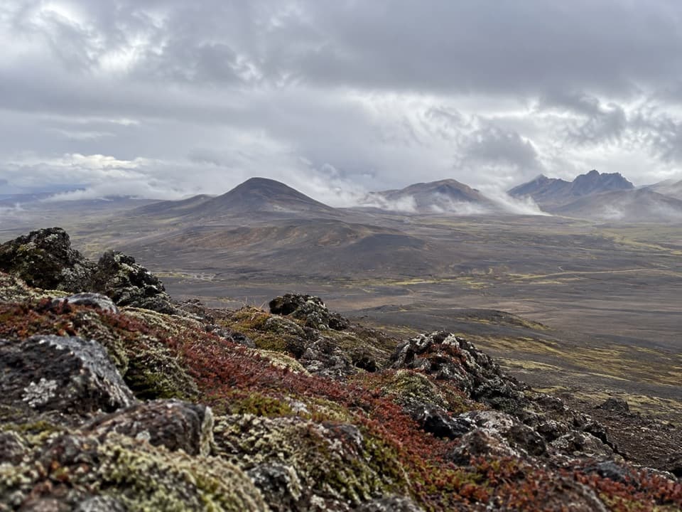
From the hut, the route heads south through Þjófadalir, then follows the horse trail to the ruins of Hálskofi. The wider Undir Fellum country is an open expanse of wetlands, river channels, banks and gentle ridges, with broad highland views rather than a single sheltered valley walk. Hálskofi is a useful landmark on the traverse; no further history of the ruins is established.

North to LaugarfellBeyond Hálskofi, S9 turns north toward Snæfellsnes, crosses Hafursá and continues to Laugarfell…

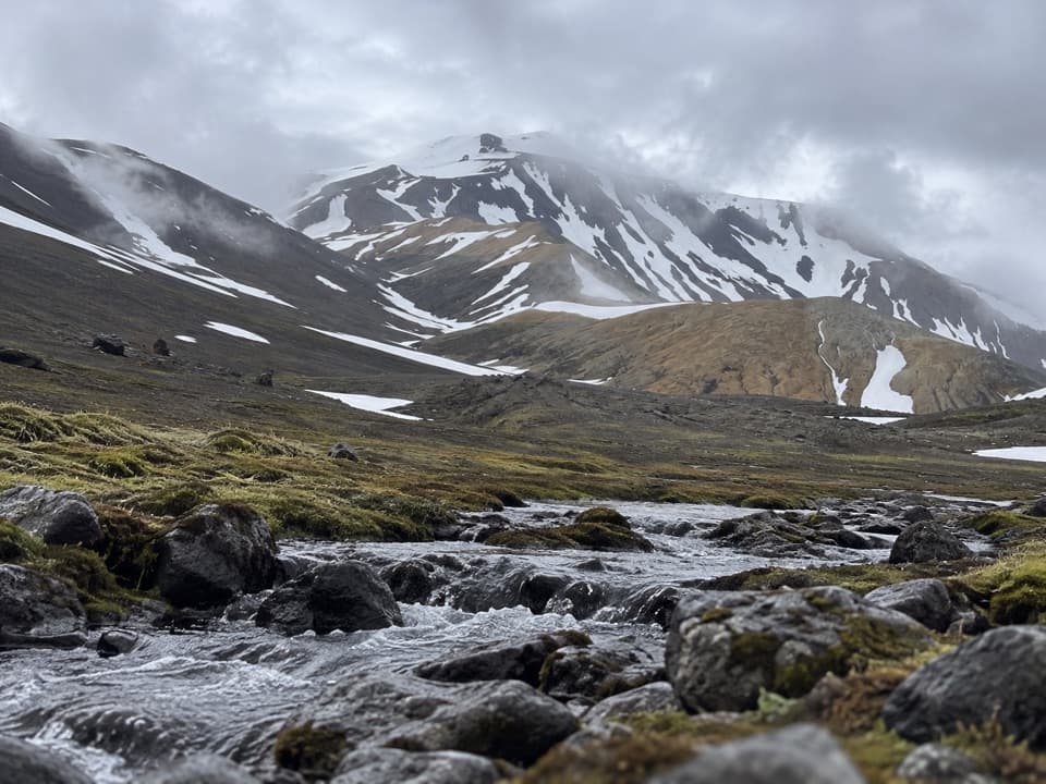
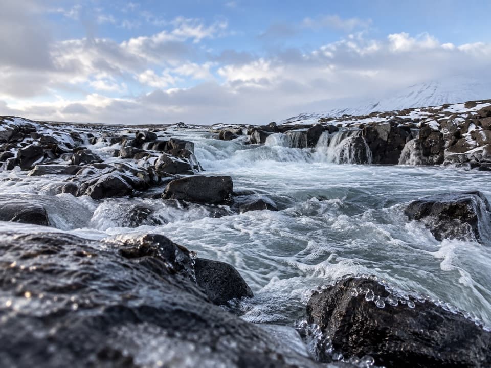
Beyond Hálskofi, S9 turns north toward Snæfellsnes, crosses Hafursá and continues to Laugarfell hut. The route directions do not say whether the river crossing is bridged or describe its conditions, so check its current status with park staff before committing. This is a traverse around Snæfell’s highland setting, not the separate summit climb.

A highland landscape with a long storySnæfell is an ancient central volcano whose rocks record more than 400,000 years of eruptions.

Snæfell is an ancient central volcano whose rocks record more than 400,000 years of eruptions. Nearby Snæfell and Eyjabakkar were recognized as an internationally important wetland in 2013. The route’s landscape is part of that wider meeting of volcanic country, wetlands, river channels and alpine terrain.

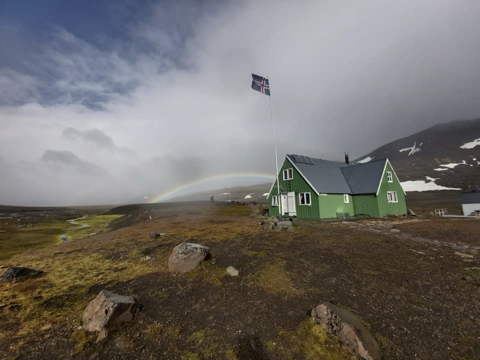
Plan both endsSnæfellsskáli has a campsite, toilets and showers.

Snæfellsskáli has a campsite, toilets and showers. Laugarfell, at the finish, offers accommodation, camping, food, drinks and natural hot springs when operating; those are endpoint amenities, and no intermediate services were confirmed. Roads into the Snæfell area are seasonal and weather-dependent. Carry communications and navigation equipment, tell a ranger your long-distance plan, and confirm road access and Laugarfell’s operating season before setting out.

Wildlife

Wildlife in Vatnajökull

All Vatnajökull wildlife maps

Sighting maps show where each species has been reported across Vatnajökull. Wildlife moves, so no sighting is guaranteed.

Parkwolf’s Vatnajökull ranking

Top-rated trails in Vatnajökull

All 92 trails
  1. 1Svartifoss–Sjónarsker–Sel Loop (S2)Moderate · 5.8 km
  2. 2Dettifoss and Selfoss – West BankEasy · 2.5 km
  3. 3Svartifoss TrailModerate · 3 km
  4. 4Skaftafellsjökull Glacier TrailEasy · 4.1 km
  5. 5Múlagljúfur Canyon TrailModerate · 3.9 km
  6. 6Kristínartindar S4 Summit CircuitChallenging · 17.9 km

Take Parkwolf to Vatnajökull.

The audio tour guide for the drive, plus offline maps, trails, and wildlife heatmaps for when the signal drops.

4.7 from 8,600+ ratings

Download Parkwolf on the App StoreGet Parkwolf on Google Play