Parking
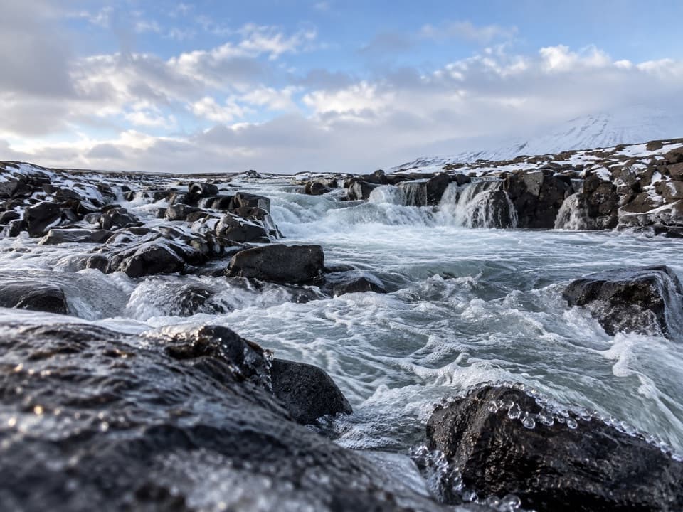
Start at the car park just south of Snæfellsskáli, the published S2 starting point. No capacity or fee details are given.
Vatnajökull National Park
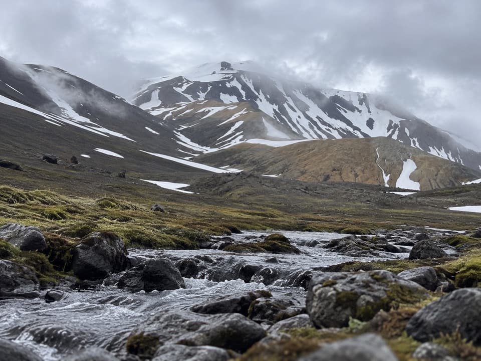
An unmarked valley route beneath Snæfell, with views over Eyjabakkar.
Overview
Map & elevation
Plan your hike

The highest, rockiest slopes around here are a summer buffet for grizzly bears.
Vatnajökull Tour Guide
Parkwolf is a GPS audio tour guide for Vatnajökull National Park. As you drive, it chimes in with what’s ahead: hidden gems, upcoming stops, history, geology, and wildlife, right through your car’s speakers.
Recorded for this area
The Snipe's Bending Bill“A snipe can open the tip of its bill while the rest is still buried in mud. The upper tip flexes upward, letting the bird grip a worm without pulling the whole bill out first.”
Plays on the road 0.4 km from the trailhead in the Parkwolf Vatnajökull Tour Guide.
More stories near here in the app
“Fantastic app with many points of information… It’s great to just turn on while you’re driving and it gives you an audio tour of the national Park. We love it!!!!”


Trail guide
Snæfell hut – Þjófadalir valley (S2) is a challenging out-and-back from the car park just south of Snæfellsskáli into Þjófadalir. The park lists 7 km one way, so returning to the same car park makes it 14 km (8.7 miles). It estimates 4–5 hours but doesn’t say whether that includes the return; leave a generous buffer.
The first stretch follows the posted Snæfell path. S2 then branches south into the valley and is unmarked. That route finding is the main catch: keep the map available offline and be ready to find the same junction for your return.
This is a separate valley walk, not the Snæfell summit route. The park highlights the area’s highland vegetation, wildlife, local folk tales, and a view over Eyjabakkar. It doesn’t identify particular species or stories, so enjoy the open landscape without counting on a specific wildlife sighting.
Begin at the S2 car park just south of Snæfellsskáli. The route page doesn’t publish parking capacity or fee details.
Wildlife
 23 sightingsGrey SealMost seen around 5 AMSighting map
 260 sightingsHarbor SealMost seen around 11 AMSighting map
 184 sightingsCaribouMost seen around 7 PMSighting map
 62 sightingsArctic FoxMost seen around 8 PMSighting map
 169 sightingsWhooper SwanMost seen around 5 PMSighting map
 68 sightingsAtlantic PuffinMost seen around 7 PMSighting map
Sighting maps show where each species has been reported across Vatnajökull. Wildlife moves, so no sighting is guaranteed.
Keep exploring
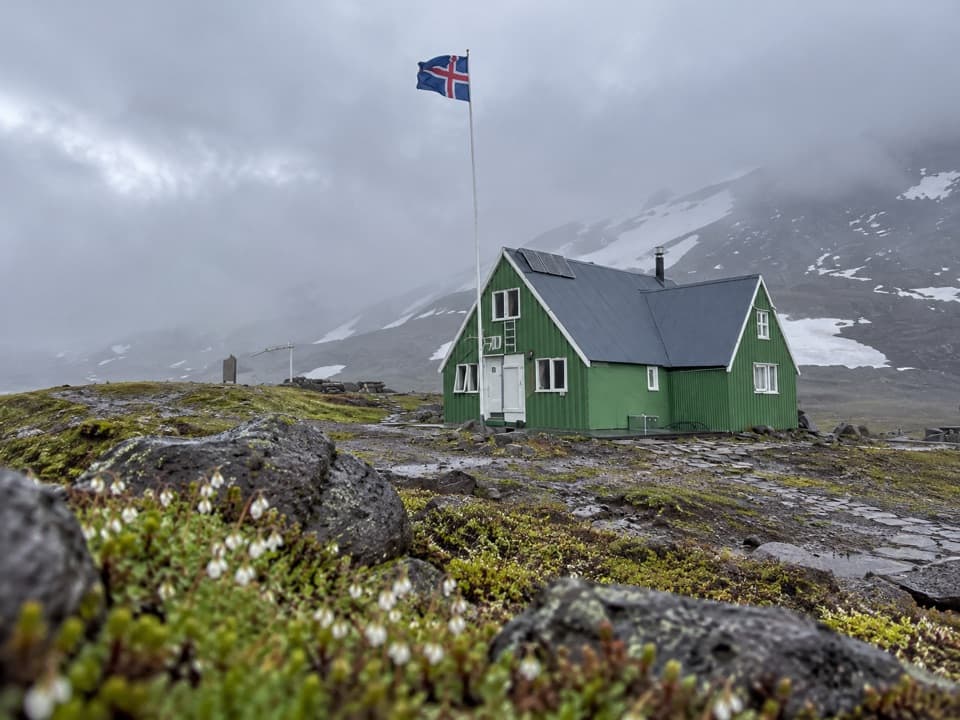 ChallengingSnæfell Hut–Laugarfell Trail via Vatnsdalur20 km · 7.5 hr · 1.8 km awayA demanding hut-to-hut crossing through Vatnsdalur
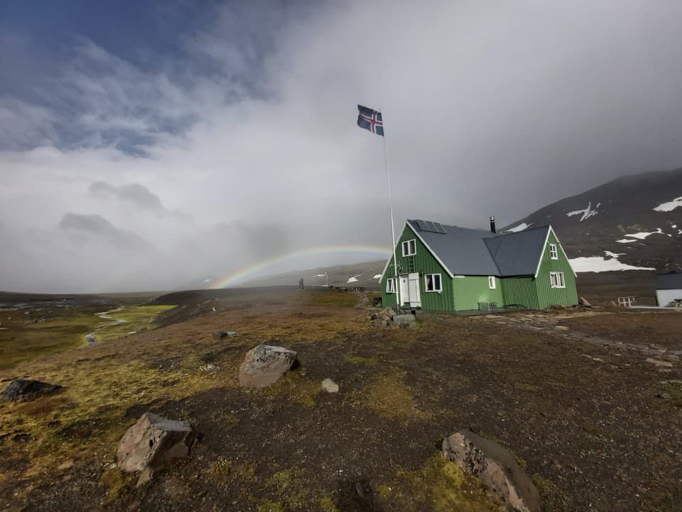 ChallengingSnæfell Hut – Laugarfell via Þjófadalir30 km · 6.5 hr · 1.8 km awayA demanding highland traverse through Þjófadalir to Laugarfell.
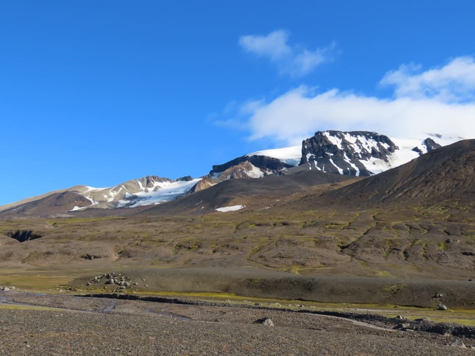 ChallengingSnæfellshringurinn (S11)30.3 km · 7.5 hr · 1.8 km awayA long highland loop beneath Snæfell with a view over Eyjabakkar.
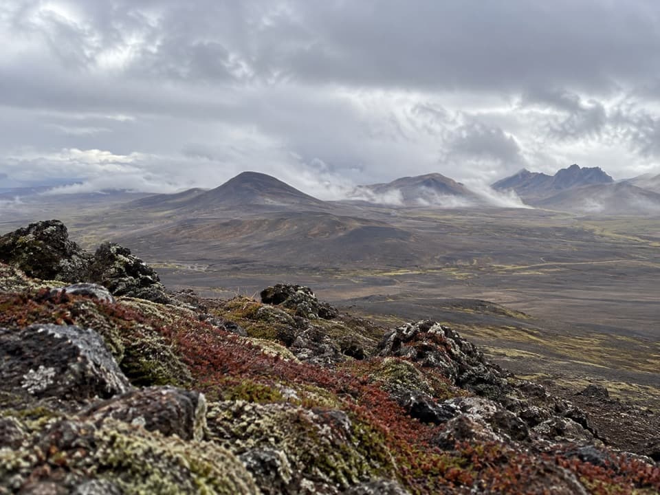 ModerateVestari-Sauðahnjúkur (S5) Trail2 km · 1 hr · 3.6 km awayA short highland climb with a view over Brúarjökull.
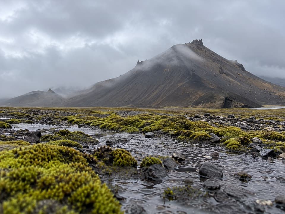 ChallengingSanddalur to Vatnsdalur Trail (S7)4.8 km · 4 hr · 10.1 km awayA short, strenuous route to Vatnsdalur’s mountain lake.
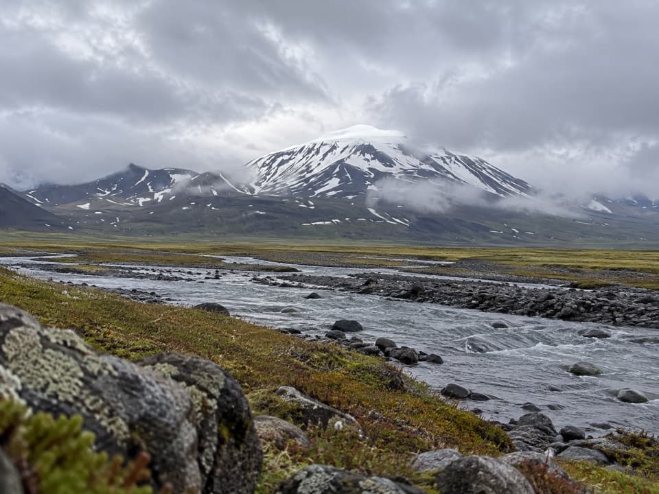 ChallengingEyjabakkafoss to Geldingafell Hut (S12)16 km · 6 hr · 10.3 km awayA difficult one-way wetland hike to a remote hut in the highlands.
Parkwolf’s Vatnajökull ranking

The audio tour guide for the drive, plus offline maps, trails, and wildlife heatmaps for when the signal drops.