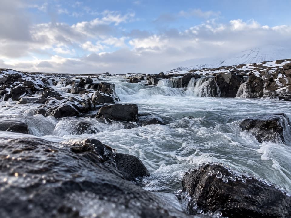
Parking
Start at Snæfell hut on F909. This is a one-way walk to Laugarfell, so arrange transport between the ends before setting out; the exact parking setup was not verified.
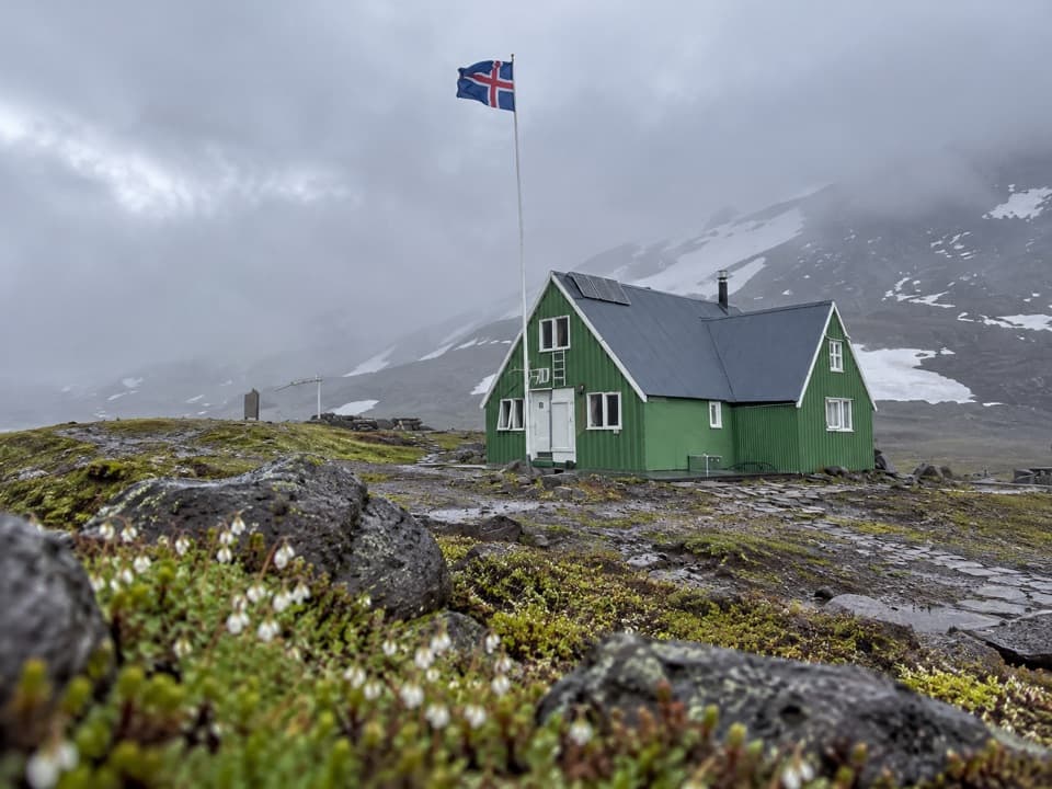
Vatnajökull National Park
A demanding hut-to-hut crossing through Vatnsdalur
Overview
Map & elevation
Plan your hike

The highest, rockiest slopes around here are a summer buffet for grizzly bears.
Vatnajökull Tour Guide
Parkwolf is a GPS audio tour guide for Vatnajökull National Park. As you drive, it chimes in with what’s ahead: hidden gems, upcoming stops, history, geology, and wildlife, right through your car’s speakers.
Recorded for this trailhead
Snæfellsskáli: Beneath the Ice-Capped Volcano“You're nearing Snæfellsskáli, the mountain hut and campground below Snæfell.”
Plays as you drive up to this trailhead in the Parkwolf Vatnajökull Tour Guide.
More stories near here in the app
“Fantastic app with many points of information… It’s great to just turn on while you’re driving and it gives you an audio tour of the national Park. We love it!!!!”


Trail guide
This is a one-way 20 km (12.4 mi) walk from Snæfell hut to Laugarfell through Vatnsdalur. It is described as challenging, with a 6–7 hour estimate. A detailed trace of the marked line measures closer to 23 km, so allow extra time and make the longer day your plan. The route finishes at a different hut, so arrange transport between the ends before you start.
From Snæfell hut the route heads north along the side of Tíutíu to Hölkná, then passes through Vatnsdalur. It descends toward Hafursá, crosses the river and continues north to Laugarfell. Follow the full sequence; turning this into a return trip means repeating a long distance.
The Hafursá crossing is part of the route, but its method and safe conditions were not established. Check with park staff for the latest route and river information before setting out. Information, camping, a WC and shower are listed at Snæfell hut; food or water stops along the walk and amenities at Laugarfell were not verified.
The park highlights changing vegetation through Vatnsdalur and bright-green fountain apple-moss. This valley is the distinctive middle stretch between the higher approach by Tíutíu and the river descent.
A 170 m elevation value is published without saying whether it means total ascent or net change, so it should not be used as a climb estimate. Terrain samples range from roughly 545 to 980 m above sea level; that is the route’s height range, not cumulative climbing.
Wildlife
 23 sightingsGrey SealMost seen around 5 AMSighting map
 260 sightingsHarbor SealMost seen around 11 AMSighting map
 184 sightingsCaribouMost seen around 7 PMSighting map
 62 sightingsArctic FoxMost seen around 8 PMSighting map
 169 sightingsWhooper SwanMost seen around 5 PMSighting map
 68 sightingsAtlantic PuffinMost seen around 7 PMSighting map
Sighting maps show where each species has been reported across Vatnajökull. Wildlife moves, so no sighting is guaranteed.
Keep exploring
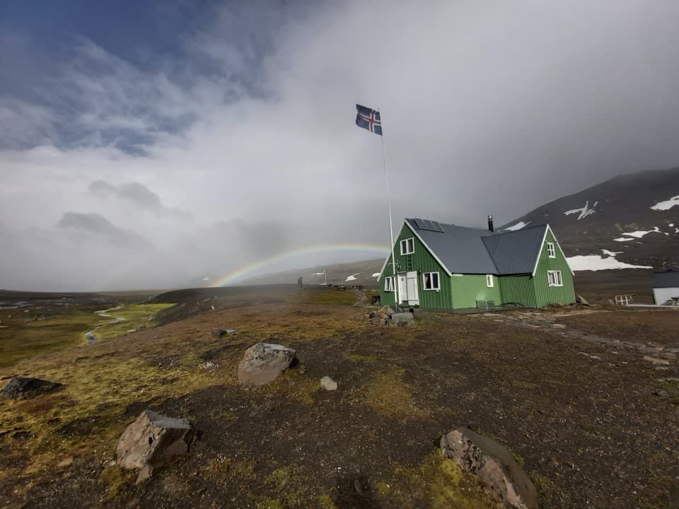 ChallengingSnæfell Hut – Laugarfell via Þjófadalir30 km · 6.5 hr · At the trailheadA demanding highland traverse through Þjófadalir to Laugarfell.
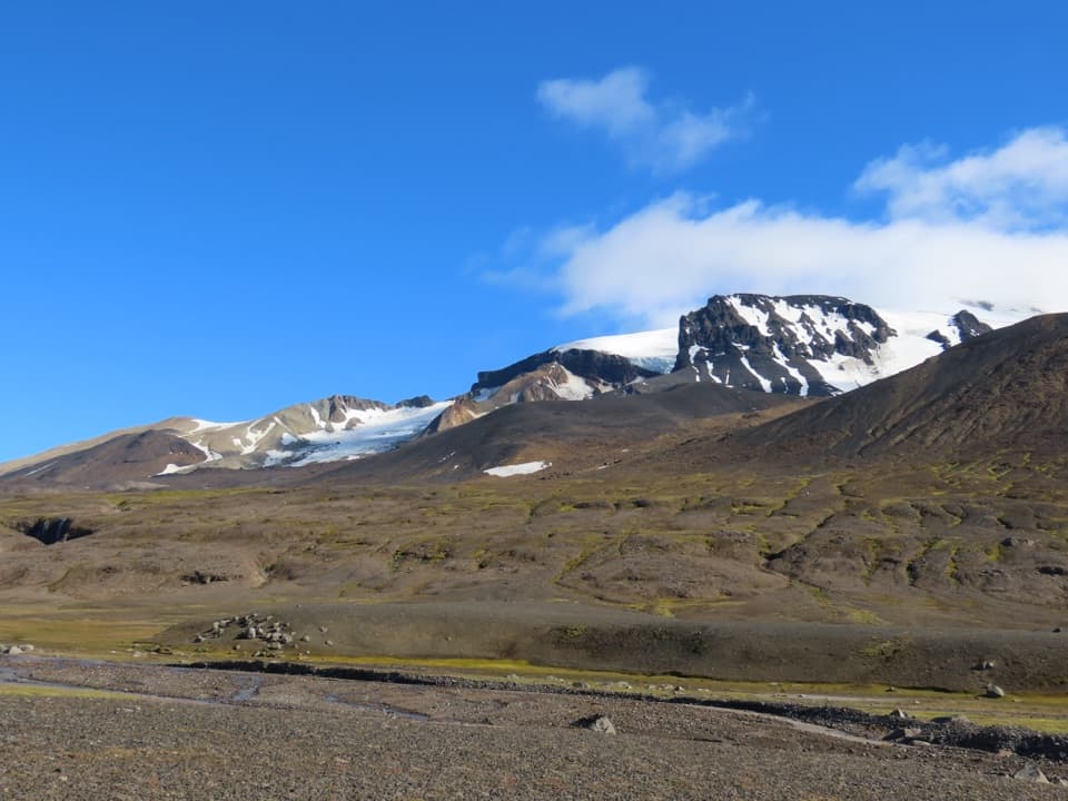 ChallengingSnæfellshringurinn (S11)30.3 km · 7.5 hr · At the trailheadA long highland loop beneath Snæfell with a view over Eyjabakkar.
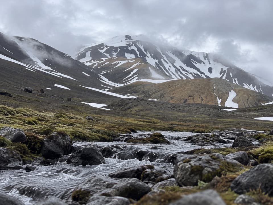 ChallengingSnæfell hut – Þjófadalir valley (S2)14 km · 5 hr · 1.8 km awayAn unmarked valley route beneath Snæfell, with views over Eyjabakkar.
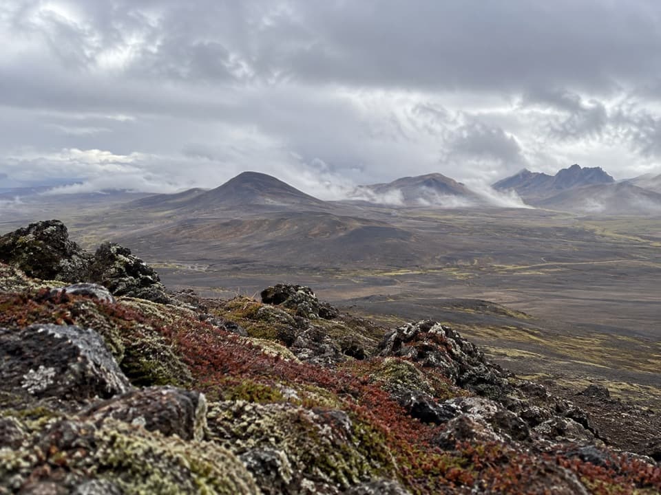 ModerateVestari-Sauðahnjúkur (S5) Trail2 km · 1 hr · 3.5 km awayA short highland climb with a view over Brúarjökull.
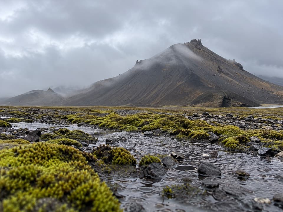 ChallengingSanddalur to Vatnsdalur Trail (S7)4.8 km · 4 hr · 8.6 km awayA short, strenuous route to Vatnsdalur’s mountain lake.
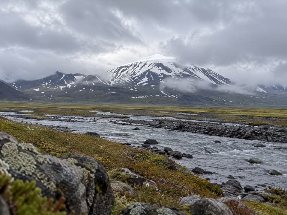 ChallengingEyjabakkafoss to Geldingafell Hut (S12)16 km · 6 hr · 9.8 km awayA difficult one-way wetland hike to a remote hut in the highlands.
Parkwolf’s Vatnajökull ranking

The audio tour guide for the drive, plus offline maps, trails, and wildlife heatmaps for when the signal drops.