Overview
About Hljóðaklettar (Echo Rocks)
Why stop
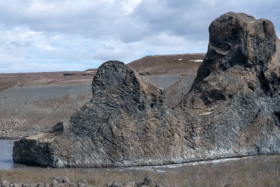
- Curved basalt columns make the walk look different in every direction.
- Several marked routes range from an easy half-hour walk to a longer loop.
Heads up
- Uneven rock and steps can make the main loop slower than its distance suggests.
Map
Where it is

The highest, rockiest slopes around here are a summer buffet for grizzly bears.
Vatnajökull Tour Guide
Your drive to Hljóðaklettar (Echo Rocks), narrated.
Parkwolf is a GPS audio tour guide for Vatnajökull National Park. As you drive, it chimes in with what’s ahead: hidden gems, upcoming stops, history, geology, and wildlife, right through your car’s speakers.
Recorded for this place
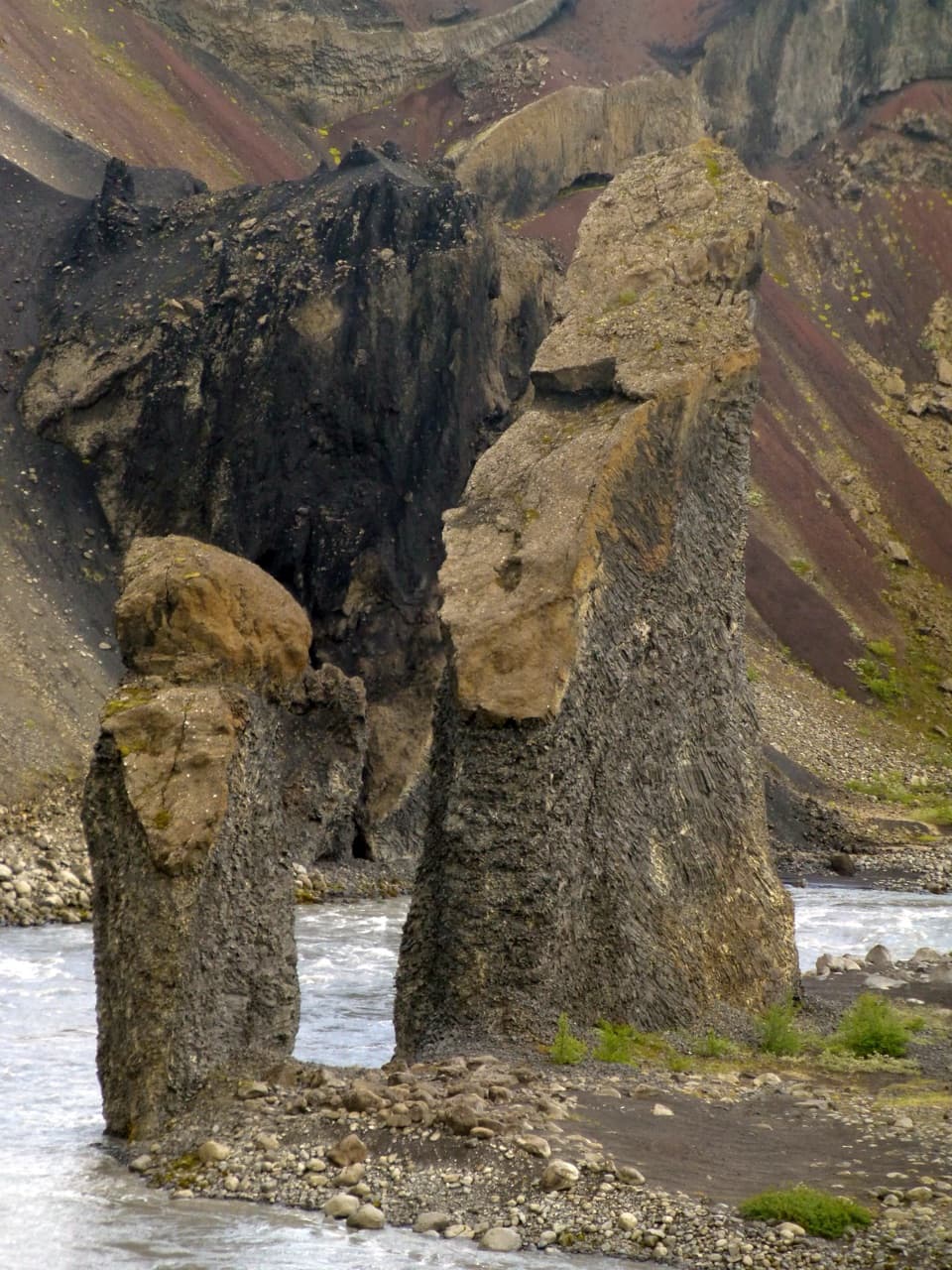
Hljóðaklettar: Echo Rocks“Up ahead is Hljóðaklettar, the Echo Rocks, with curved basalt columns, caves and honeycombed walls. The rocks are hardened magma from old volcanic vents, exposed when floods swept loose material away.”
Plays as you drive up to Hljóðaklettar (Echo Rocks) in the Parkwolf Vatnajökull Tour Guide.
More stories near here in the app
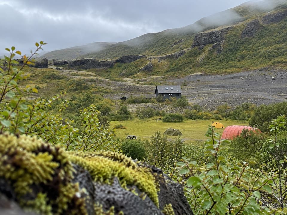
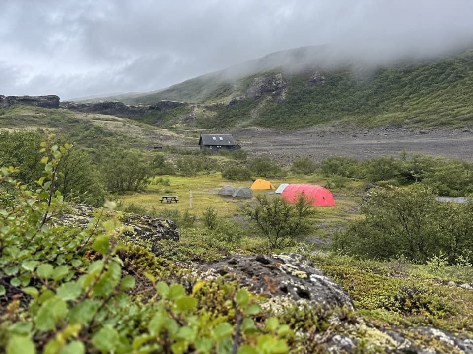
- Vesturdalur: Camping and the Eyjan Loop
- Iron Behind the Red
- The Compass Direction Frozen in Lava
- A Cushion Full of Flowers
- 298 audio storiesacross Vatnajökull’s roads, triggered by GPS as you drive
- Wildlife heatmapsfor Grey Seal, Harbor Seal, Caribou, and 13 more
- Works offlinemaps, 92 trails, 75 places, and audio download before you lose signal
- CarPlay readysimple controls built for the drive
“Fantastic app with many points of information… It’s great to just turn on while you’re driving and it gives you an audio tour of the national Park. We love it!!!!”


Guide
More about Hljóðaklettar (Echo Rocks)
Walk among the Echo RocksHljóðaklettar (Echo Rocks) is a cluster of exposed cores from old volcanic conduits at…
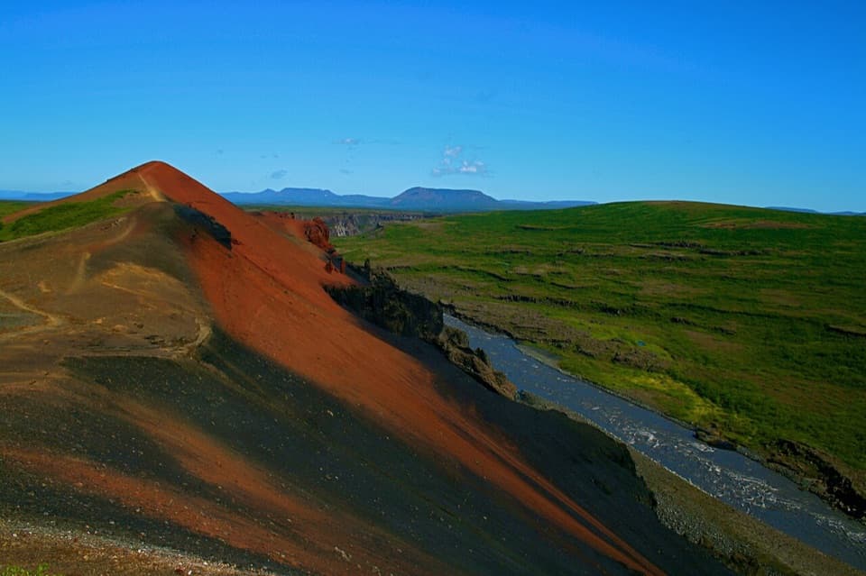
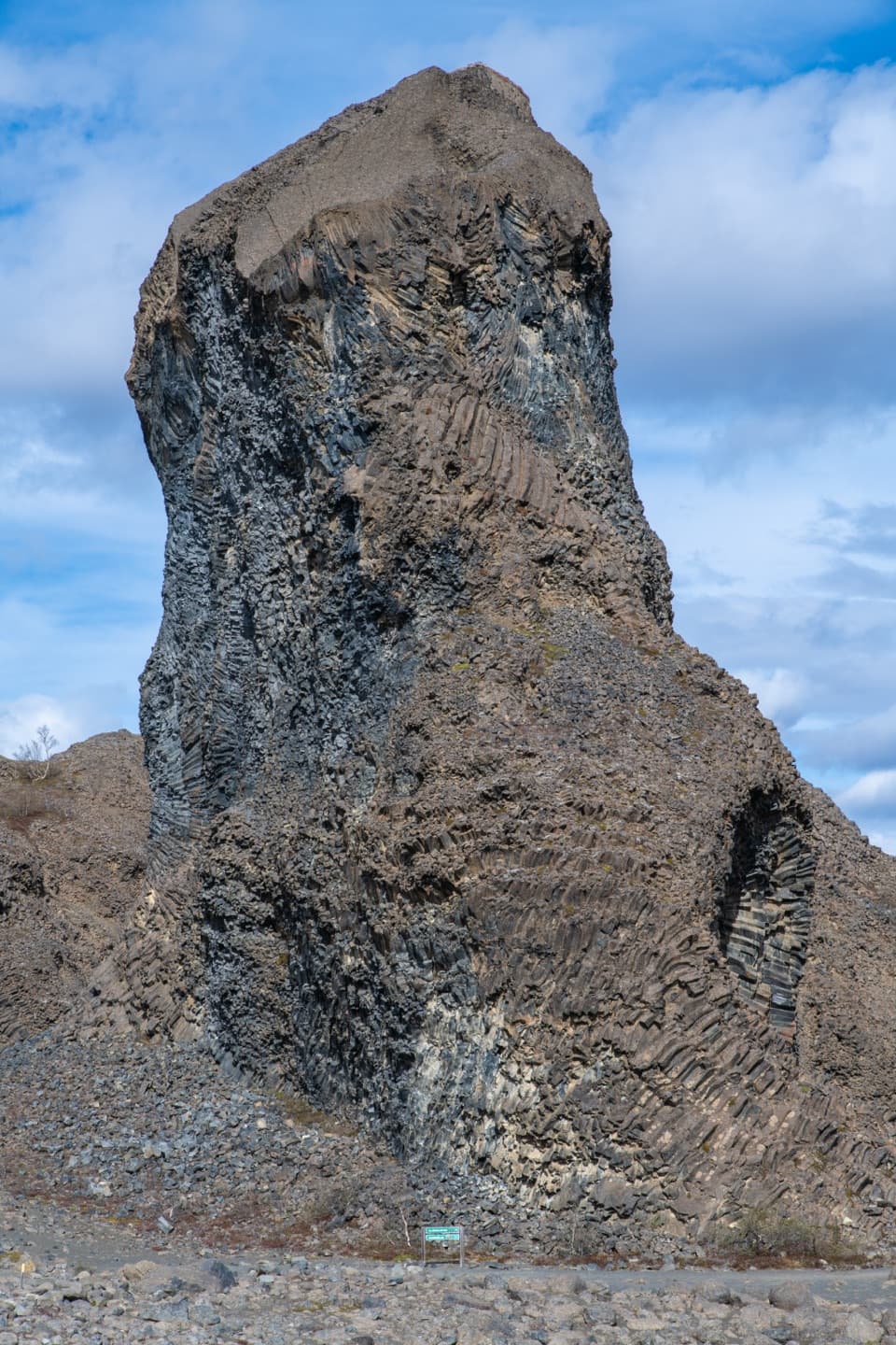
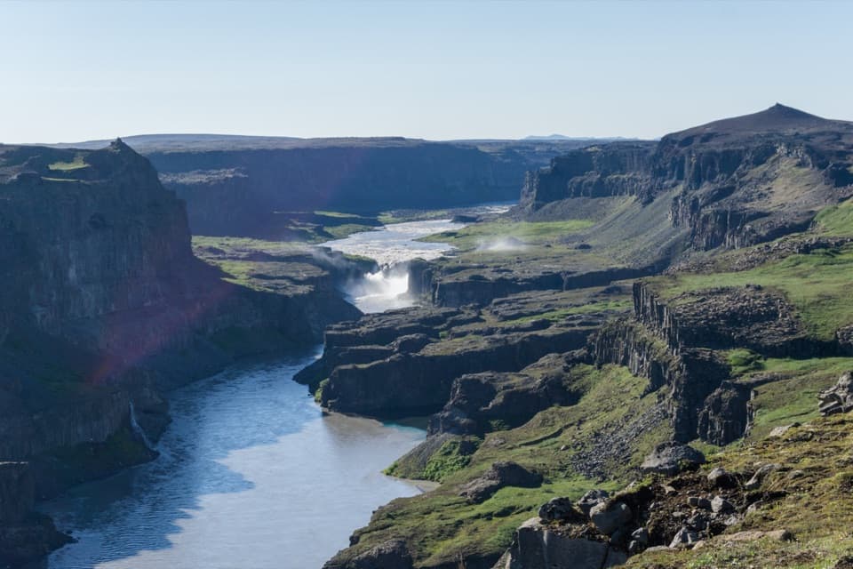
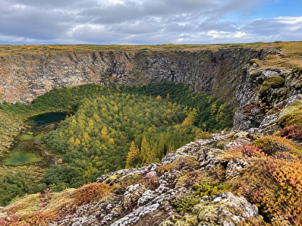
Hljóðaklettar (Echo Rocks) is a cluster of exposed cores from old volcanic conduits at Vesturdalur, beside the Jökulsá á Fjöllum in Jökulsárgljúfur. The rocks look like a jumble of towers and broken columns until you get close enough to see their curves, caves and honeycomb surfaces. The 3 km V3 loop takes about 1–1.5 hours and is rated challenging. The easier V2 route to Tröllið covers 1.2 km in about 30 minutes.
Pick the right starting pointThere are two separate car parks.
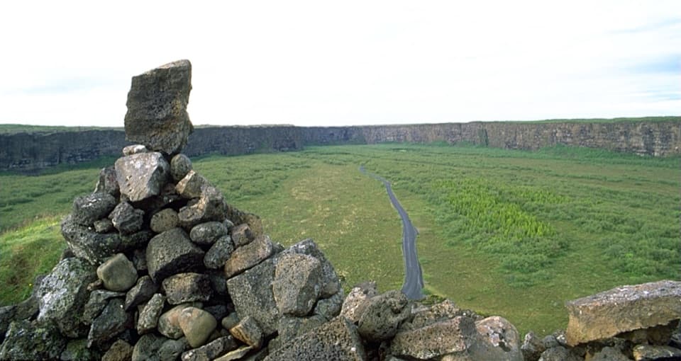
There are two separate car parks. Langavatnshöfði gives a broad view over the crater row; the Hljóðaklettar car park starts the marked walks among the formations. They serve different visits, so choose the one you mean before driving in. Vesturdalur is about 15 km south of Ásbyrgi on a paved road. Outside summer, conditions can change quickly, so check before setting out.
A crater row with its core exposedThese formations are part of a roughly 6 km row of craters that erupted about 8,000–9,000 years…
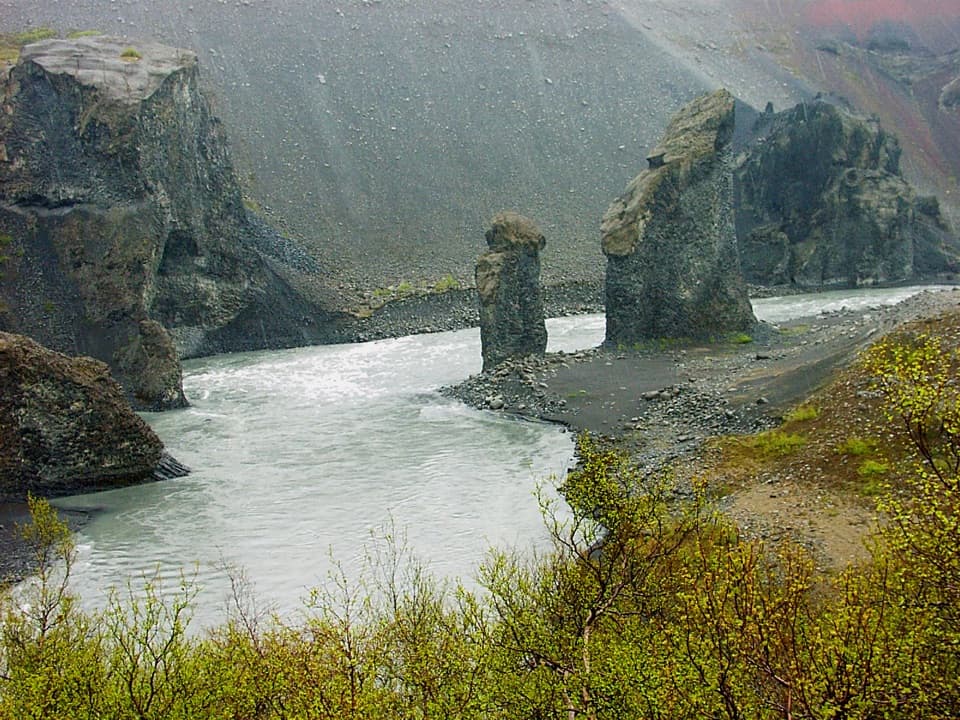
These formations are part of a roughly 6 km row of craters that erupted about 8,000–9,000 years ago. Magma cooled in the volcanic conduits, then outburst floods from the Jökulsá swept away loose material and exposed the harder cores. That’s why you see isolated towers and folded columns instead of a line of ordinary crater rims.
Church, troll and river soundKirkjan, or “the Church,” is a domed cave.
Kirkjan, or “the Church,” is a domed cave. Tröllkarlinn means “giant troll,” and Karl og Kerling means “old man and old woman”; stories about those figures go back to settlement tales. The Echo Rocks name fits the sound of water in the river below. Pause along the marked route and listen as it moves around the rock walls.
Keep going into SvínadalurThe 7 km Svínadalur loop extends the outing beyond the main formations, passing Karl and…
The 7 km Svínadalur loop extends the outing beyond the main formations, passing Karl and Kerling, Kallbjarg and the abandoned Svínadalur farm. A pulley once crossed the river at Kallbjarg to carry supplies between its banks. The farm has been deserted since 1946, a striking reminder of how isolated this valley was.
Stay on the marked pathsWalking off the marked paths is prohibited here and at nearby Rauðhólar to protect vegetation.
Walking off the marked paths is prohibited here and at nearby Rauðhólar to protect vegetation. The longer loop has uneven rock and steps, which can make it feel slower than the distance suggests. If that footing doesn’t suit you, the shorter route or the Langavatnshöfði view is a better fit.
Plan for foodÁsbyrgi, about 15 km north, has a privately run restaurant and supermarket.
Ásbyrgi, about 15 km north, has a privately run restaurant and supermarket. Stop there first if you need a meal or groceries.
Wildlife
Wildlife in Vatnajökull
 23 sightingsGrey SealMost seen around 5 AMSighting map
 260 sightingsHarbor SealMost seen around 11 AMSighting map
 184 sightingsCaribouMost seen around 7 PMSighting map
 62 sightingsArctic FoxMost seen around 8 PMSighting map
 169 sightingsWhooper SwanMost seen around 5 PMSighting map
 68 sightingsAtlantic PuffinMost seen around 7 PMSighting map
Sighting maps show where each species has been reported across Vatnajökull. Wildlife moves, so no sighting is guaranteed.