Overview
About Rauðhólar (Red Hills)
Why stop
- One route links red craters and the columned rock at Hljóðaklettar.
Heads up
- Challenging 5 km loop takes about 1.5–2 hours.
Map
Where it is

The highest, rockiest slopes around here are a summer buffet for grizzly bears.
Vatnajökull Tour Guide
Your drive to Rauðhólar (Red Hills), narrated.
Parkwolf is a GPS audio tour guide for Vatnajökull National Park. As you drive, it chimes in with what’s ahead: hidden gems, upcoming stops, history, geology, and wildlife, right through your car’s speakers.
Recorded for this place
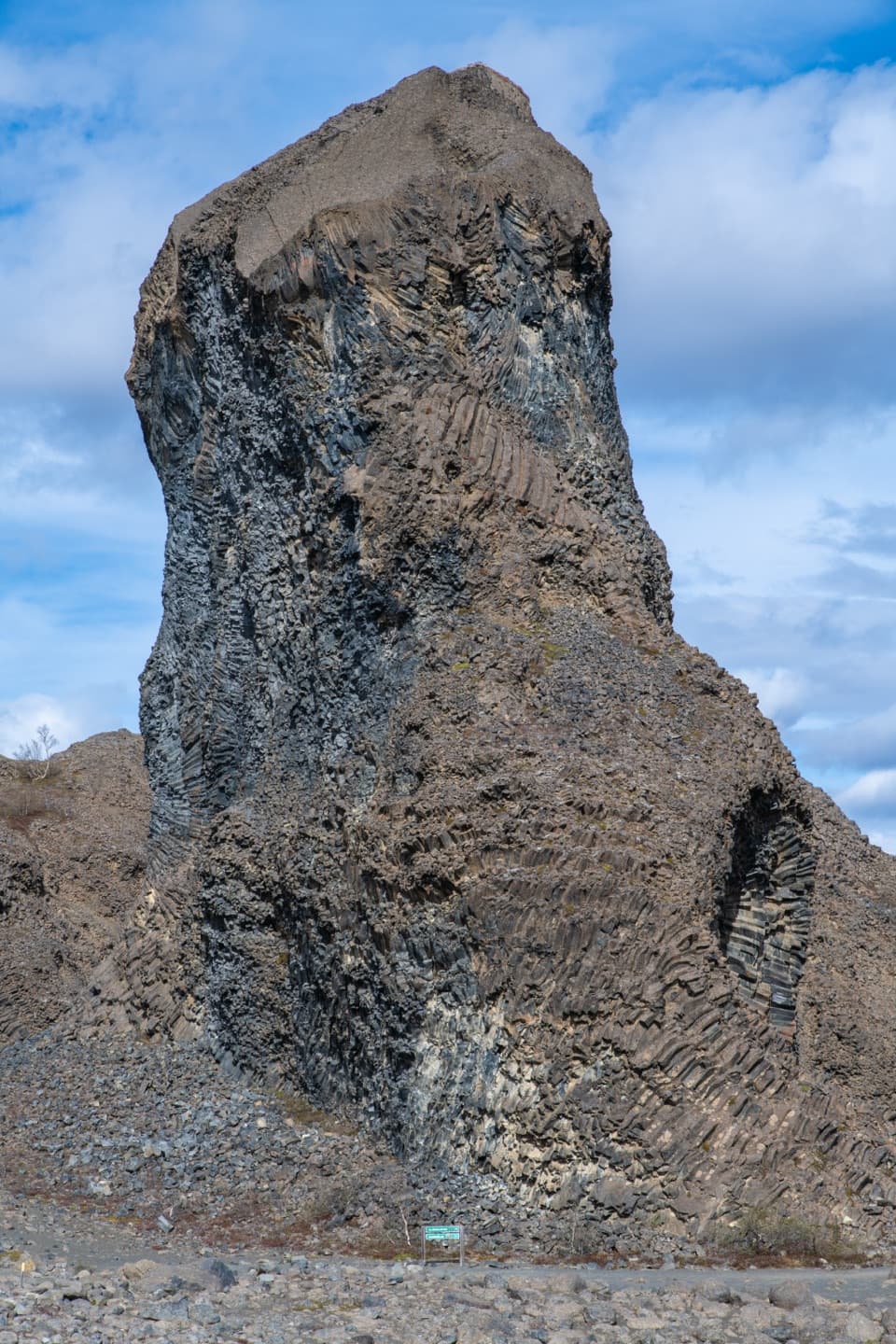
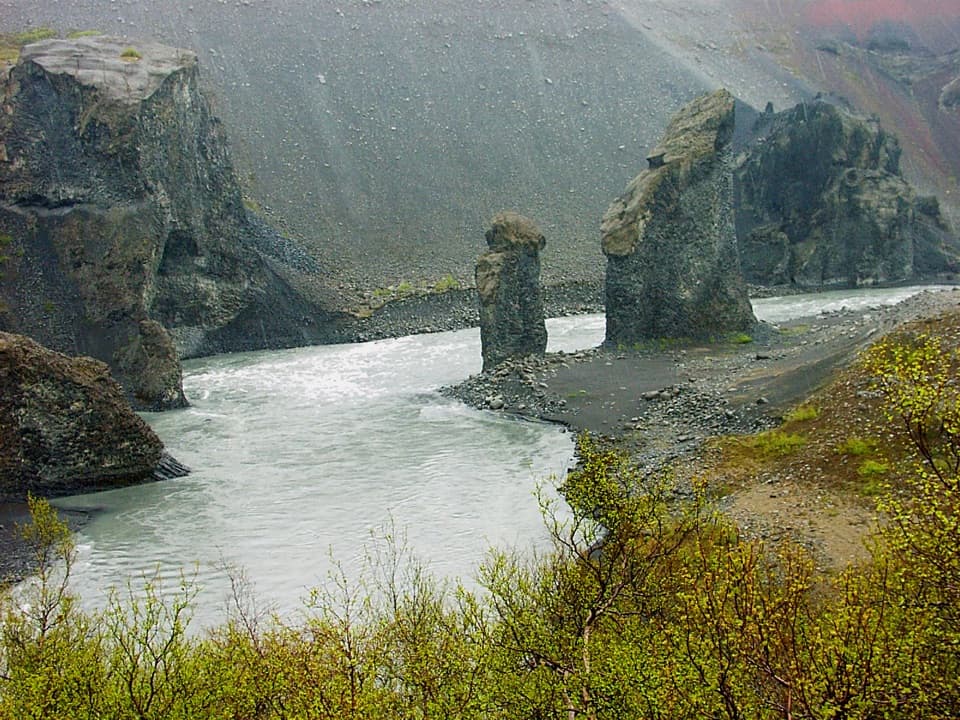
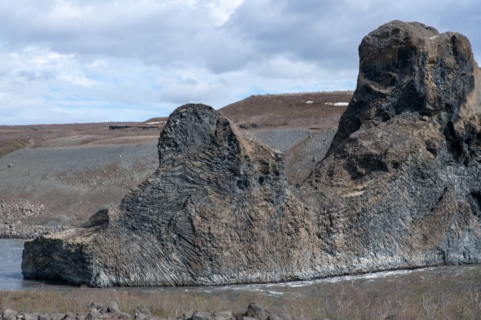
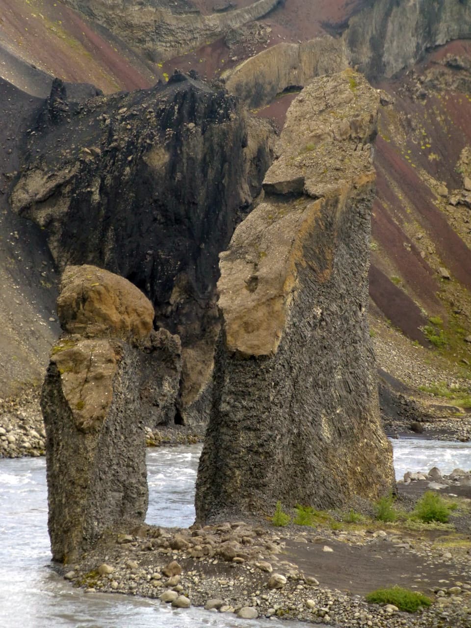
Hljóðaklettar: Echo Rocks“Up ahead is Hljóðaklettar, the Echo Rocks, with curved basalt columns, caves and honeycombed walls. The rocks are hardened magma from old volcanic vents, exposed when floods swept loose material away.”
Plays as you drive up to Rauðhólar (Red Hills) in the Parkwolf Vatnajökull Tour Guide.
More stories near here in the app
- The Compass Direction Frozen in Lava
- Iron Behind the Red
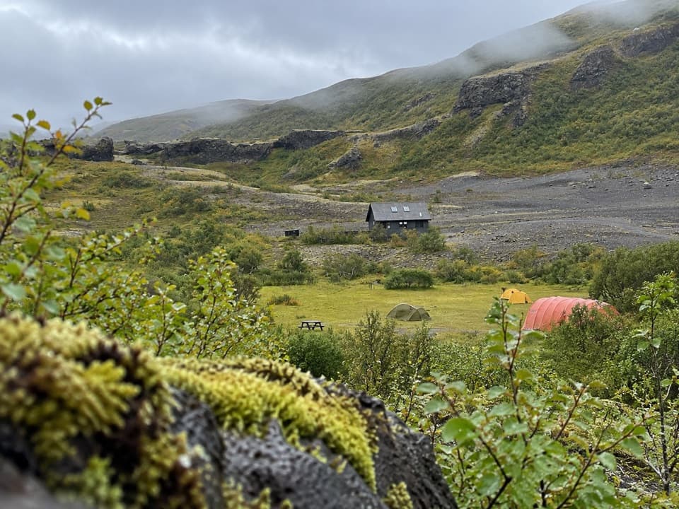
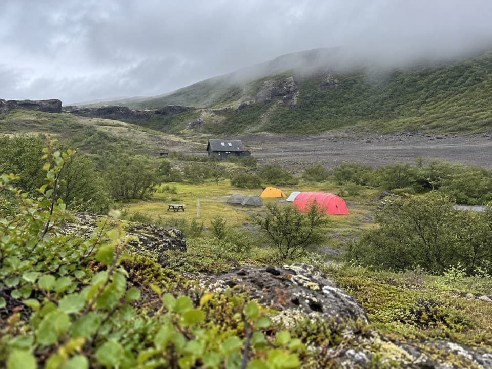
- Vesturdalur: Camping and the Eyjan Loop
- A Bumblebee's Warm-Up
- 298 audio storiesacross Vatnajökull’s roads, triggered by GPS as you drive
- Wildlife heatmapsfor Grey Seal, Harbor Seal, Caribou, and 13 more
- Works offlinemaps, 92 trails, 75 places, and audio download before you lose signal
- CarPlay readysimple controls built for the drive
“Fantastic app with many points of information… It’s great to just turn on while you’re driving and it gives you an audio tour of the national Park. We love it!!!!”


Guide
More about Rauðhólar (Red Hills)
A proper walk to the red hillsRauðhólar is a group of red volcanic hills in the Jökulsárgljúfur canyon area, reached by a…
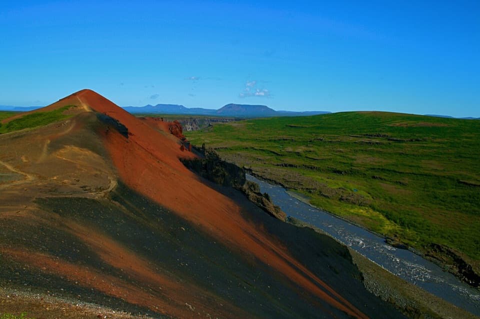
Rauðhólar is a group of red volcanic hills in the Jökulsárgljúfur canyon area, reached by a marked hike with views over the Jökulsá and Hljóðaklettar. The park's V4 circuit starts at Vesturdalur car park; it's 5 km, rated challenging, and estimated at 1.5–2 hours. Set aside a couple of hours for the loop rather than treating it as a quick roadside stop. The park also lists shorter connected walks in the Hljóðaklettar area, including the easy 1.2 km V2 route.
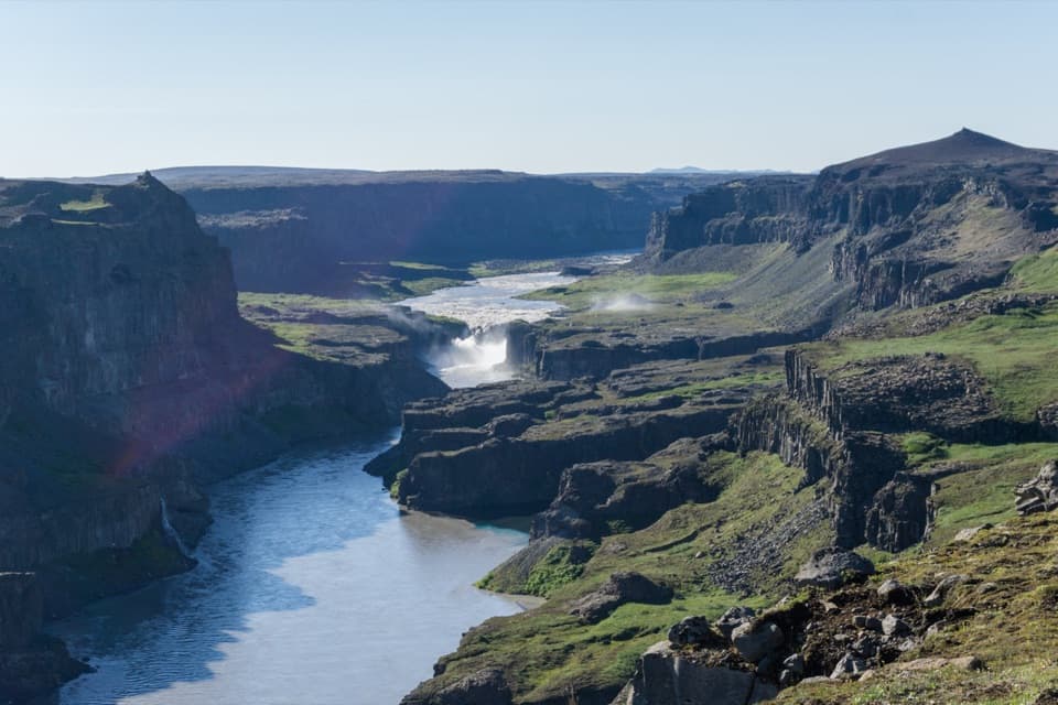
Put the red slopes in the frameThe payoff is seeing the red hills with the river and Hljóðaklettar spread out beyond them.
The payoff is seeing the red hills with the river and Hljóðaklettar spread out beyond them. For a photo, keep a strip of the red volcanic slope in the foreground and leave room for the canyon view behind it. A tight crop of the red ground misses what makes this walk special: the red hills and dark rock formations in one landscape.
A crater row reshaped by floodsRauðhólar belongs to a roughly 6 km row of craters that erupted about 8,000–9,000 years ago.
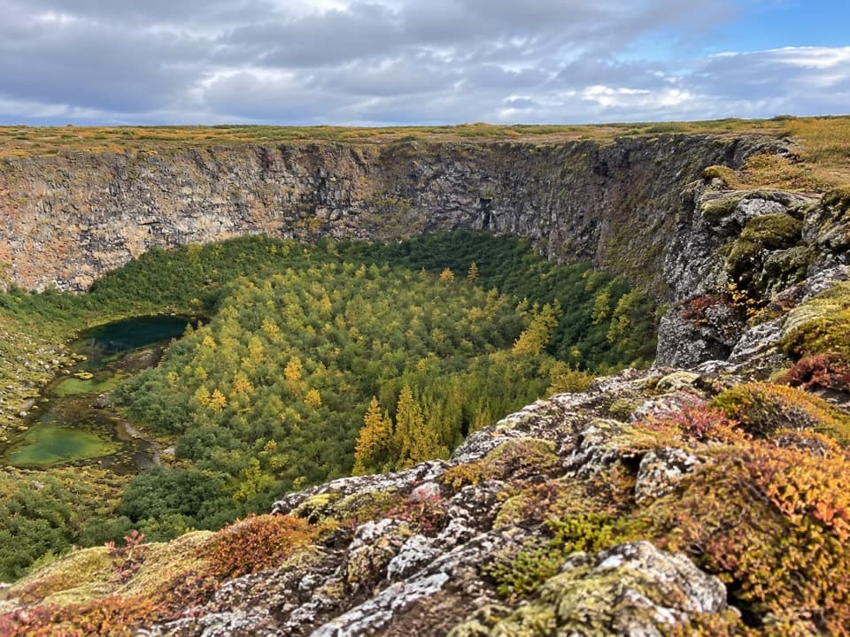
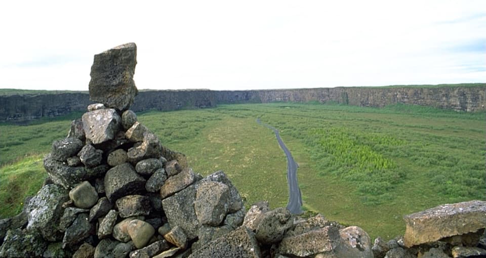
Rauðhólar belongs to a roughly 6 km row of craters that erupted about 8,000–9,000 years ago. The park says most of the craters first looked more like these red hills. Outburst floods on the Jökulsá later swept loose material away from many of them, leaving harder volcanic structures such as the formations at Hljóðaklettar. The red hills and the dark, columned rocks are different parts of the same volcanic story, with the river doing much of the reshaping.
Stay on the marked pathThe park prohibits leaving marked footpaths at Rauðhólar and Hljóðaklettar because trampling…
The park prohibits leaving marked footpaths at Rauðhólar and Hljóðaklettar because trampling can damage the vegetation. Keep to the route even where the open slopes look easy to cross.
Wildlife
Wildlife in Vatnajökull
 23 sightingsGrey SealMost seen around 5 AMSighting map
 260 sightingsHarbor SealMost seen around 11 AMSighting map
 184 sightingsCaribouMost seen around 7 PMSighting map
 62 sightingsArctic FoxMost seen around 8 PMSighting map
 169 sightingsWhooper SwanMost seen around 5 PMSighting map
 68 sightingsAtlantic PuffinMost seen around 7 PMSighting map
Sighting maps show where each species has been reported across Vatnajökull. Wildlife moves, so no sighting is guaranteed.