Parking
Hoffellsjökull parking area beside Hoffellslón. The final stretch of gravel access road is rough; allow extra time and drive carefully. Parking capacity and trailhead facilities were not verified.
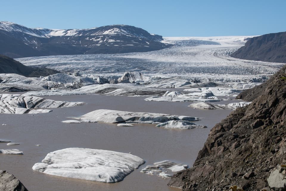
Vatnajökull National Park
A challenging six-kilometer loop with a wide glacier view.
Photo: Hansueli Krapf, CC BY-SA 4.0
Overview
Map & elevation
Plan your hike

The highest, rockiest slopes around here are a summer buffet for grizzly bears.
Vatnajökull Tour Guide
Parkwolf is a GPS audio tour guide for Vatnajökull National Park. As you drive, it chimes in with what’s ahead: hidden gems, upcoming stops, history, geology, and wildlife, right through your car’s speakers.
Recorded for this trailhead
Hoffellsjökull: Glacier View and Ice for Höfn“Up ahead is the starting point for Hoffellsjökull Viewpoint, with a glacier and an ice-strewn lagoon just a short walk away.”
Plays as you drive up to this trailhead in the Parkwolf Vatnajökull Tour Guide.
More stories near here in the app
“Fantastic app with many points of information… It’s great to just turn on while you’re driving and it gives you an audio tour of the national Park. We love it!!!!”


Trail guide
This loop starts at the parking area by Hoffellslón and climbs 300 m through birch and heather, circling Geitafellsbjörg for views over Hoffellsjökull and its lagoon. Allow 2–3 hours; it is a demanding hill walk for its distance. The park lists 5.6 km for the standard circuit and says a return alongside the ridge adds about 0.5 km. The longer, roughly 6 km return is the line mapped here.
Climb northeast from the parking area on the same first slope as the Húsberg route. At the ridge, turn left and continue northwest around Geitafellsbjörg rather than descending on the east side. The glacier view opens from this part of the circuit. Continue toward Efstafellsgil, then descend on an old farm track used for gathering sheep. Once back on flatter ground, cross the ridge north of Húsberg for the shorter circuit, or walk alongside it for about half a kilometer more on the mapped return.
Start at the Hoffellsjökull parking area beside Hoffellslón. The last stretch of gravel access road is rough, so allow extra drive time and take it slowly. Parking capacity and trailhead facilities are not confirmed; bring the water you need for the walk.
Wildlife
 23 sightingsGrey SealMost seen around 5 AMSighting map
 260 sightingsHarbor SealMost seen around 11 AMSighting map
 184 sightingsCaribouMost seen around 7 PMSighting map
 62 sightingsArctic FoxMost seen around 8 PMSighting map
 169 sightingsWhooper SwanMost seen around 5 PMSighting map
 68 sightingsAtlantic PuffinMost seen around 7 PMSighting map
Sighting maps show where each species has been reported across Vatnajökull. Wildlife moves, so no sighting is guaranteed.
Keep exploring
ModerateHoffellsjökull Viewpoint0.5 km · 10 min · At the trailheadA short, rocky path to a view across Hoffellslón and the glacier.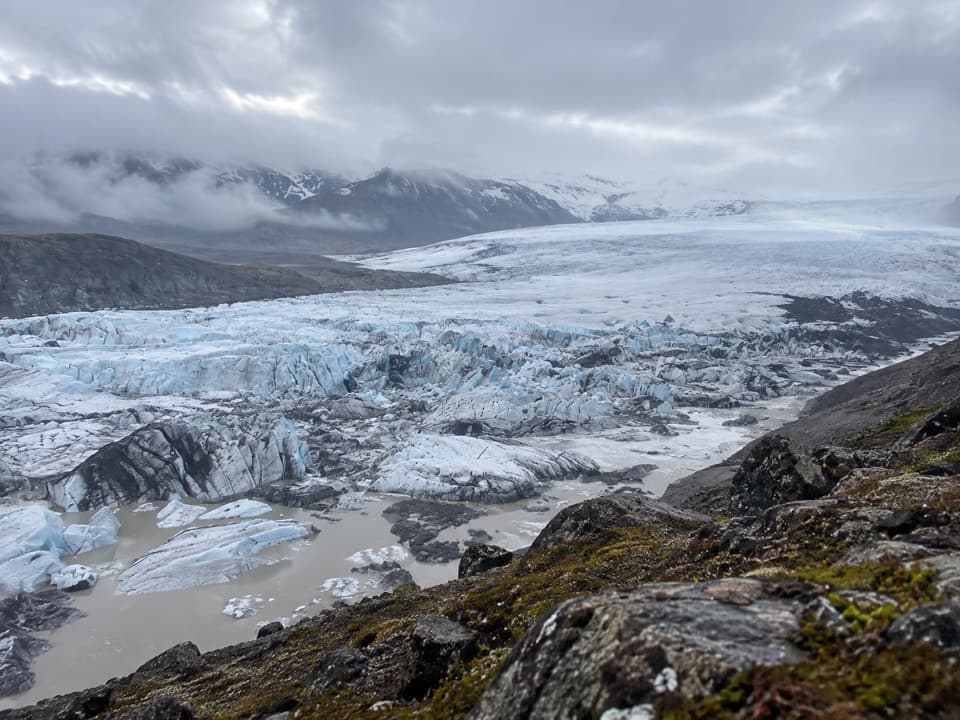 ChallengingGeitafellstindur (O4)12 km · 5.5 hr · At the trailheadA long climb to a high ridge above Hoffellsjökull
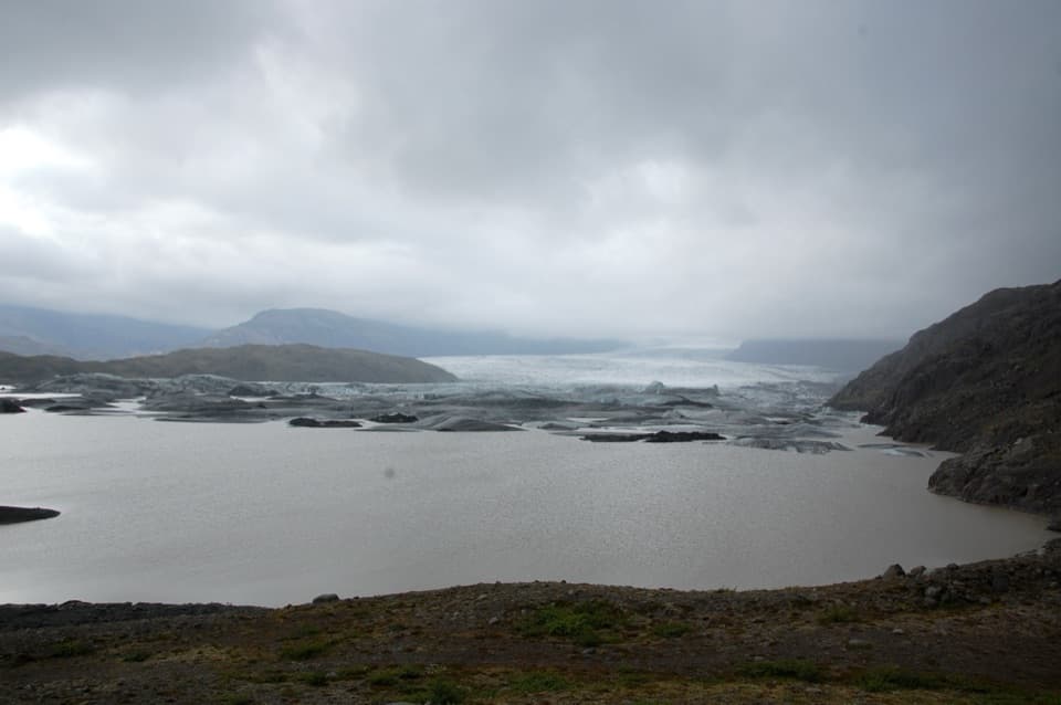 ModerateHúsberg Loop1.5 km · 1 hr · At the trailheadA short ridge loop for glacier views and quarry historyChallengingHoffell - Hoffellsjökull Trail (O5)7.5 km · 2.5 hr · 3.5 km awayAn unmarked walk toward a retreating glacier and its terminal moraine.
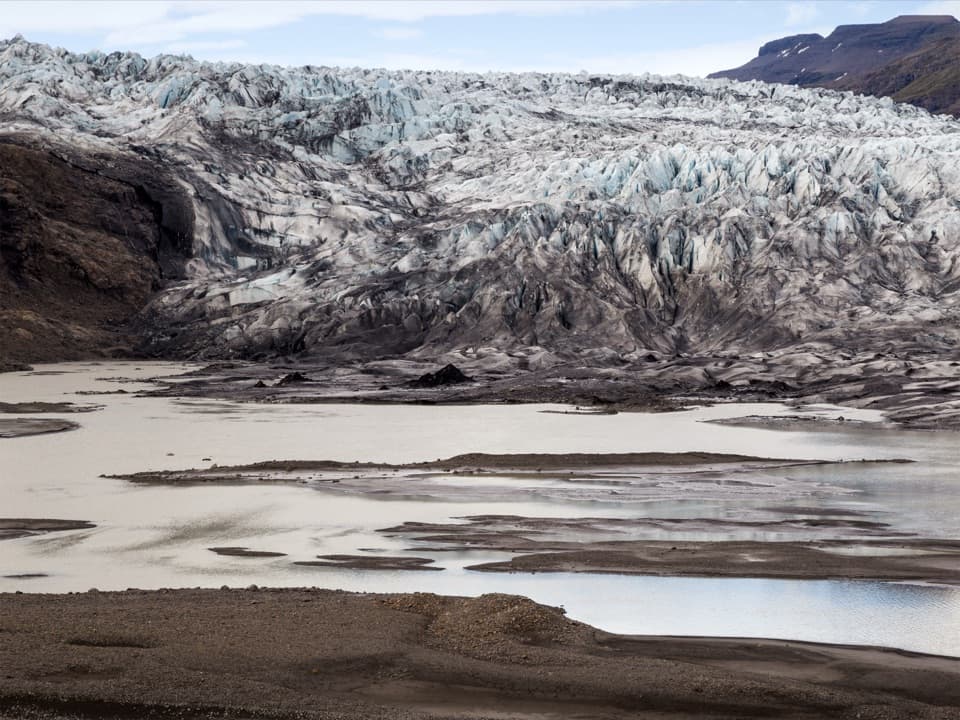 ChallengingFláajökull (Hólmsá) – Haukafell4.5 km · 4.5 hr · 9.6 km awayA marked point-to-point walk to Fláajökull’s glacier lagoon.ModerateGeological Trail East of Fláajökull3.6 km · 2 hr · 11.2 km awayA short, challenging geology walk east of Fláajökull.
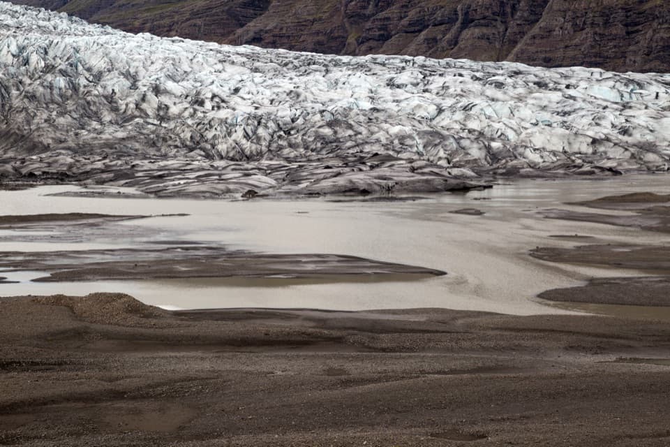 EasyHistorical Trail south of Fláajökull2.6 km · 1.5 hr · 13.1 km awayA short loop pairs glacier views with a local history trail.
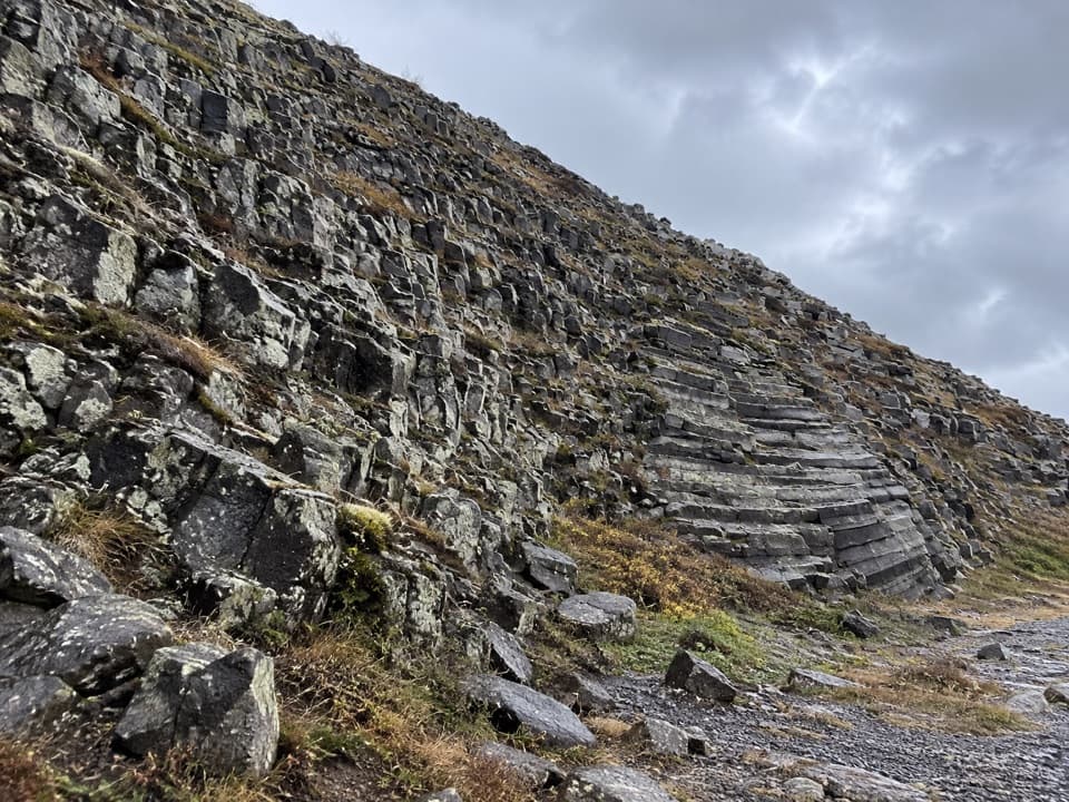 ModerateHeinar Trail1.8 km · 1 hr · 16.5 km awayA challenging short circle past Heinar’s ribbed basalt columns.
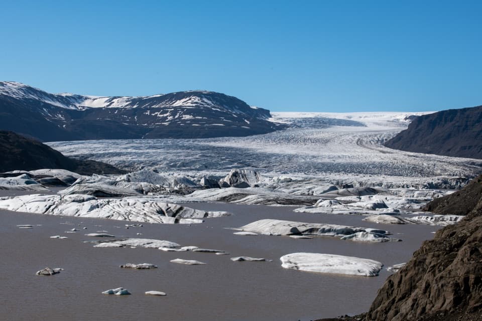 Sight · 0.3 km awayHoffellsjökull ViewpointA quick walk to a glacier lagoon scattered with icebergs.
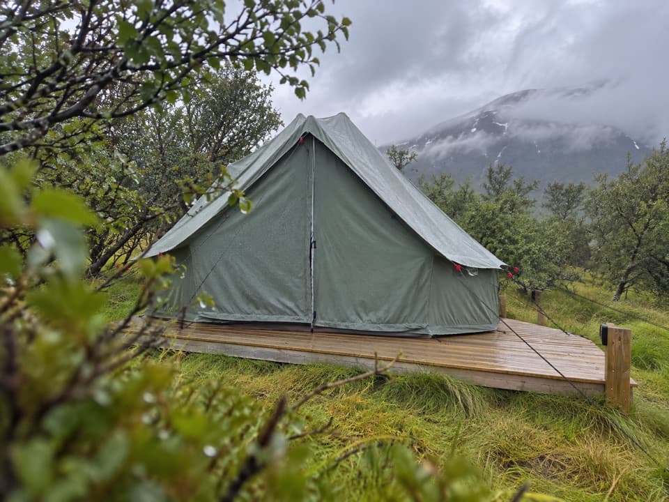 Campground · 9.5 km awayHaukafell CampgroundA camping base among trees, with a footpath toward Fláajökull.Sight · 13.1 km awayFláajökullA glacier front, meltwater channels, and two interpretive walks.
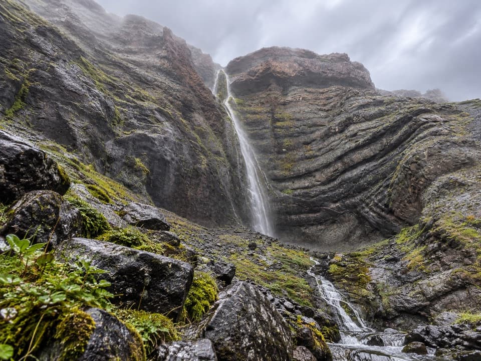 Sight · 15.8 km awayBólstaðafossA waterfall on Heinaberg’s challenging glacier-and-basalt circuit.
Parkwolf’s Vatnajökull ranking

The audio tour guide for the drive, plus offline maps, trails, and wildlife heatmaps for when the signal drops.




