Parking
Fláajökull car park, reached by the side road from Route 1 between Hólmur and Lambleiksstaðir; the final 6 km are gravel. The park does not allow overnight stays in the lot.
Vatnajökull National Park
A short loop pairs glacier views with a local history trail.
Overview
Map & elevation
Plan your hike

The highest, rockiest slopes around here are a summer buffet for grizzly bears.
Vatnajökull Tour Guide
Parkwolf is a GPS audio tour guide for Vatnajökull National Park. As you drive, it chimes in with what’s ahead: hidden gems, upcoming stops, history, geology, and wildlife, right through your car’s speakers.
More stories near here in the app
“Fantastic app with many points of information… It’s great to just turn on while you’re driving and it gives you an audio tour of the national Park. We love it!!!!”


Trail guide
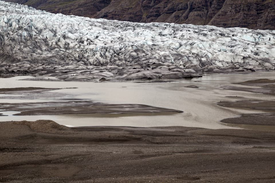
F1 is an easy 2.6 km (1.62 mi) loop from Fláajökull car park across the glacier foreland, with views of Fláajökull and its meltwater lagoon. The park estimates 1–2 hours. Take time for the interpretive stops; this is a compact walk for understanding the landscape, not the longer approach to the glacier from Haukafell.
The circuit begins at the car park and loops around the foreland. Keep to the F1 markers instead of continuing onto the separate F2 Geological Trail or J3 route. One park page lists F1 at 3.6 km, but the park’s destination list and regional map both say 2.6 km; the mapped line measures about 2.7 km at map scale. I’d plan on the map-listed 2.6 km and check the sign at the start if that extra kilometre would change your plans. The park rates the trail easy, though published sources don’t describe the surface in detail.
Fláajökull reached its maximum extent in 1894. Its meltwater streams once pushed into the lowlands, damaging pasture and farms near the glacier’s snout. The ice, gravel bars and lagoon make that history easier to picture than a date on a sign.
From Route 1 between Hólmur and Lambleiksstaðir, take the side road to Fláajökull car park; the final 6 km are gravel. The park says overnight stays aren’t allowed in the lot. Dogs are allowed; keep them from disturbing wildlife, vegetation or other visitors, and clean up after them.
Wildlife
 23 sightingsGrey SealMost seen around 5 AMSighting map
 260 sightingsHarbor SealMost seen around 11 AMSighting map
 184 sightingsCaribouMost seen around 7 PMSighting map
 62 sightingsArctic FoxMost seen around 8 PMSighting map
 169 sightingsWhooper SwanMost seen around 5 PMSighting map
 68 sightingsAtlantic PuffinMost seen around 7 PMSighting map
Sighting maps show where each species has been reported across Vatnajökull. Wildlife moves, so no sighting is guaranteed.
Keep exploring
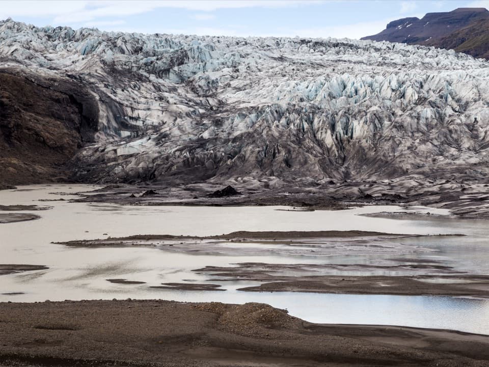 ModerateGeological Trail East of Fláajökull3.6 km · 2 hr · 1.9 km awayA short, challenging geology walk east of Fláajökull.
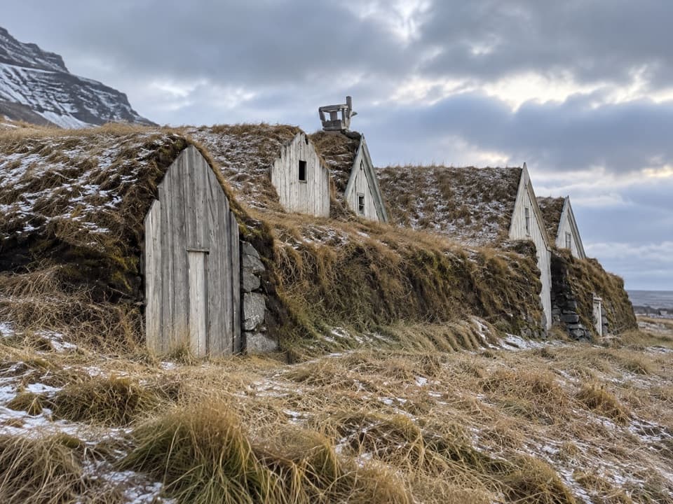 EasyHeinaberg Farm Trail (E3)1.2 km · 20 min · 3.5 km awayA short heritage walk through ponds to old farm ruins.
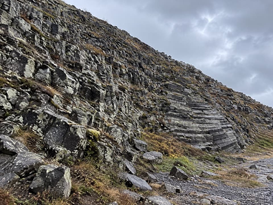 ModerateHeinar Trail1.8 km · 1 hr · 3.6 km awayA challenging short circle past Heinar’s ribbed basalt columns.ChallengingFláajökull (Hólmsá) – Haukafell4.5 km · 4.5 hr · 3.6 km awayA marked point-to-point walk to Fláajökull’s glacier lagoon.
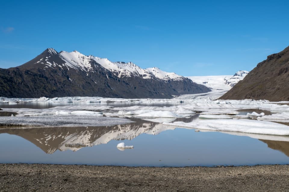 ChallengingHeinaberg Circle6 km · 3.5 hr · 5.2 km awayBasalt columns, glacier views, and old channels on a 6 km loop.ChallengingHeinabergsdalur (Vatnsdalur) E4 Loop17.5 km · 6.5 hr · 5.2 km awayA ridge loop over a valley once dammed by glacier ice
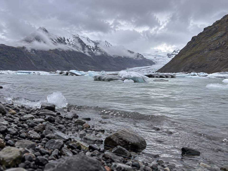 ModerateSkálafell–Heinabergslón Trail (J1)7.5 km · 3.5 hr · 10.3 km awayFollow Kolgríma to Heinabergslón’s glacier lagoon.
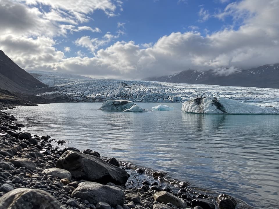 ChallengingHjallanes / Skálafellsjökull Loop8.2 km · 3.5 hr · 10.4 km awayGlacier views, stream crossings and a marker of the old ice edge.Sight · At the trailheadFláajökullA glacier front, meltwater channels, and two interpretive walks.
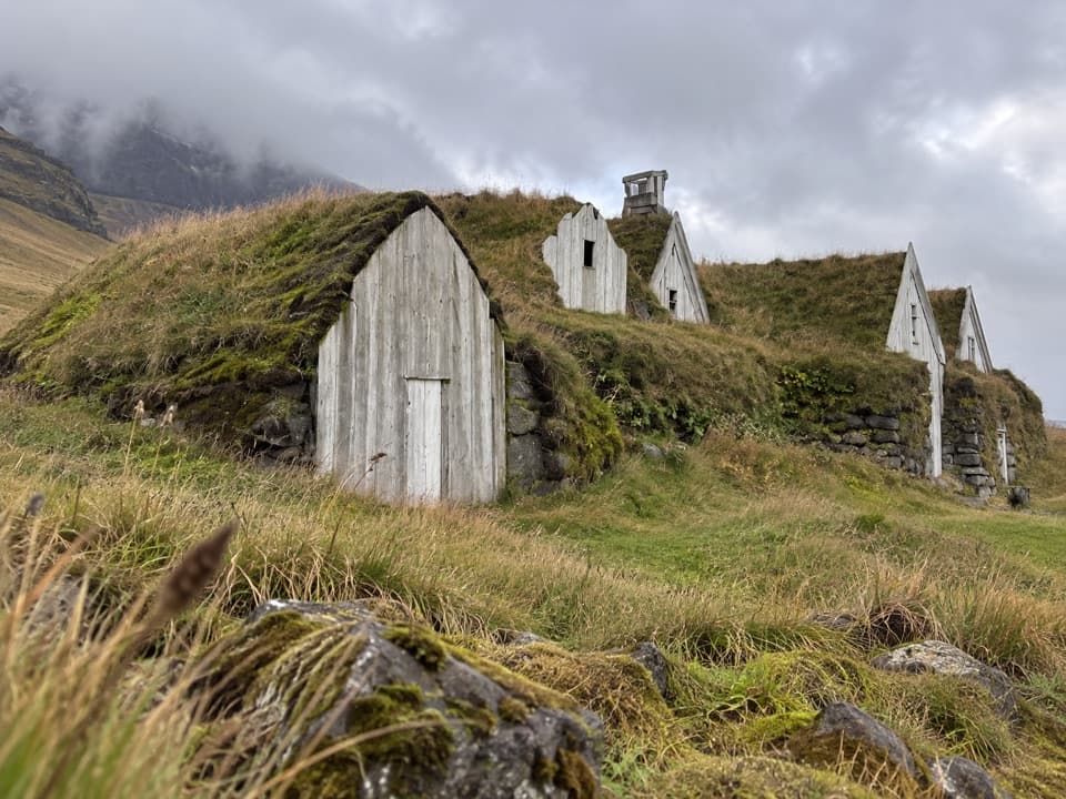 Sight · 3.1 km awayHeinaberg Farm RuinsA short sheep-track walk to a little-known farmstead.
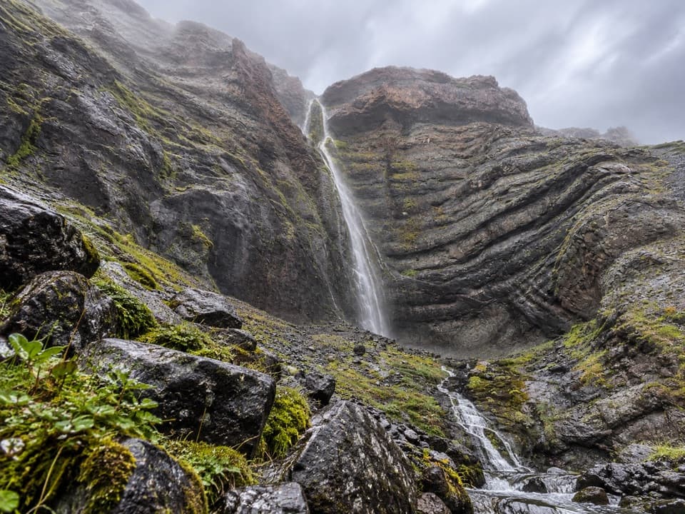 Sight · 3.2 km awayBólstaðafossA waterfall on Heinaberg’s challenging glacier-and-basalt circuit.
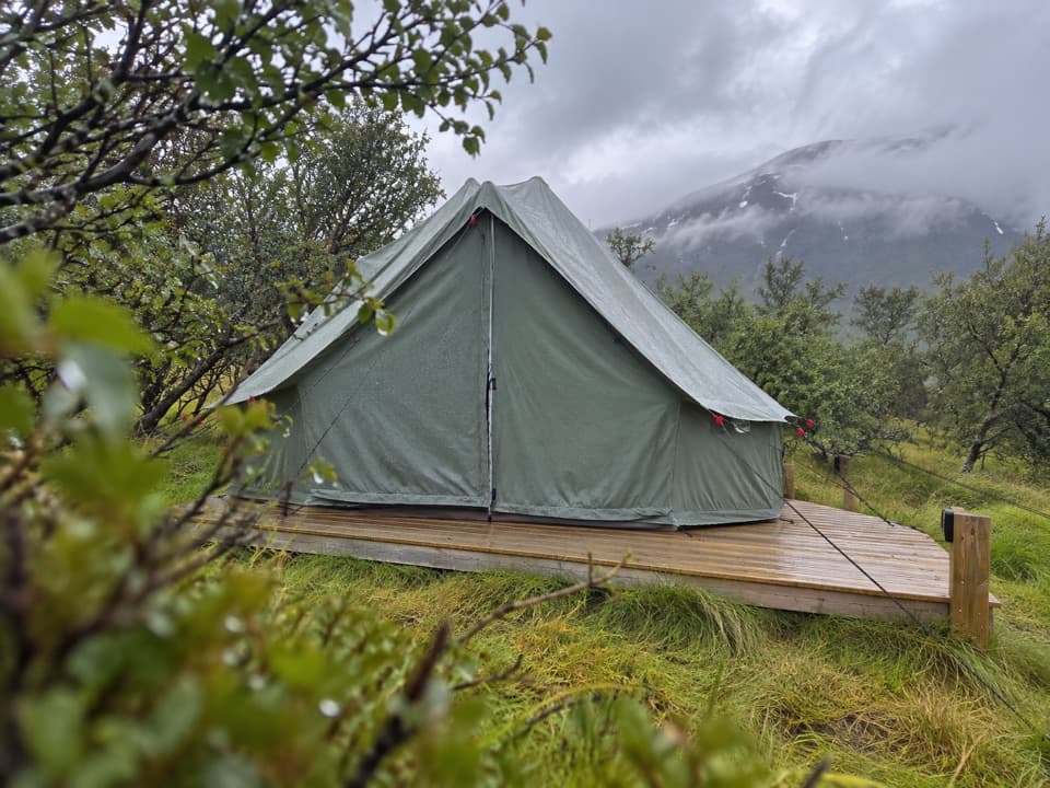 Campground · 3.7 km awayHaukafell CampgroundA camping base among trees, with a footpath toward Fláajökull.
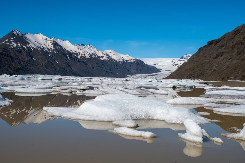 Sight · 5.2 km awayHeinabergslón Glacier LagoonA shore-side iceberg lagoon at the end of a rough gravel spur.
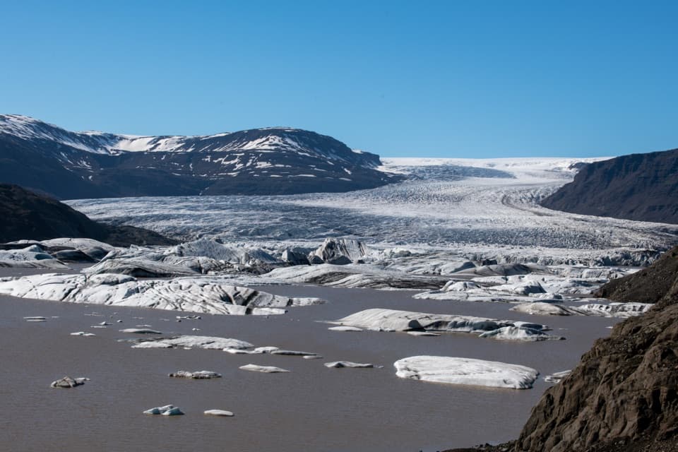 Sight · 13.2 km awayHoffellsjökull ViewpointA quick walk to a glacier lagoon scattered with icebergs.
Parkwolf’s Vatnajökull ranking

The audio tour guide for the drive, plus offline maps, trails, and wildlife heatmaps for when the signal drops.




