Fláajökull (Hólmsá) – Haukafell in Vatnajökull National Park

Vatnajökull National Park

Fláajökull (Hólmsá) – Haukafell

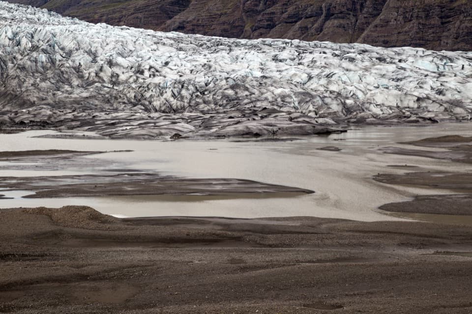
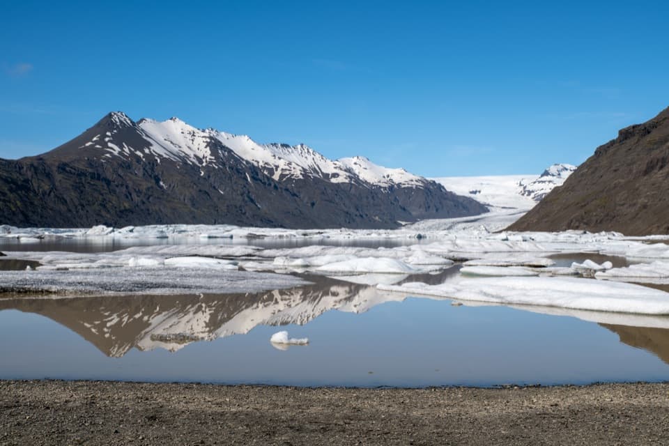
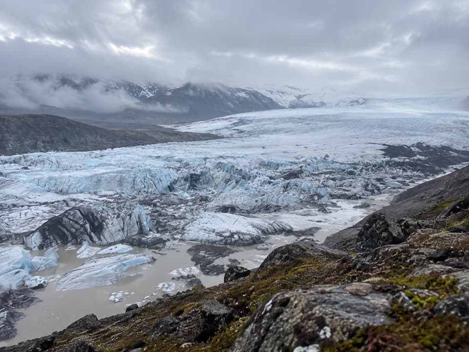
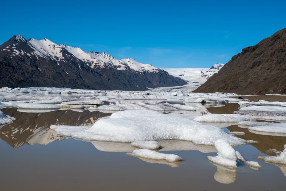
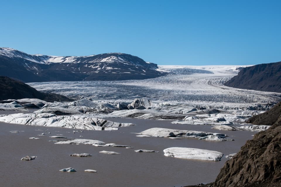
A marked point-to-point walk to Fláajökull’s glacier lagoon.

Photo: Unukorno, CC BY 4.0, via Wikimedia Commons. Cropping and resizing may be applied

Length
4.5km
Time
4.5hr
Elev. change
30m
Difficulty
Challenging
  • Dogs allowed
  • High point 66 m
  • #44 of 92 in Vatnajökull

Hear the audio tour

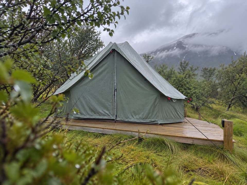
Haukafell: Camping Among the Trees

Overview

About Fláajökull (Hólmsá) – Haukafell

Why go

  • A marked link to Fláajökull’s glacier-lagoon landscape
  • A distinct point-to-point walk between two access areas

Heads up

  • A challenging pace for only 4.5 km
  • One-way logistics need a return plan

Map & elevation

The route

Loading the Vatnajökull map
Full map
Elevation36–66 m
TrailheadHaukafell car park64.34518, -15.50323
Keep this map with you offline in the Parkwolf app

Plan your hike

Before you go

Parking

Start at Haukafell car park, or reverse the walk from the Fláajökull/Hólmsá-side car park; both are named route ends. Arrange a pickup or allow time to walk back. Overnight stays are not allowed at the Fláajökull car park; Haukafell has a campsite.

Safety

The park rates J3 challenging and estimates four to five hours. Cross Kolgrafardalsá on the marked footbridge near Haukafell. The missing Hólmsá bridge and advice not to ford that river apply to nearby J2, not this route.

A park ranger sits on a dash-mounted phone, talking, as Parkwolf’s Tour Guide plays “Army Cutworm Moths: A Grizzly Bear Buffet” on Grand Loop Road below Dunraven Pass in Yellowstone
Parkwolf Tour GuideThe highest, rockiest slopes around here are a summer buffet for grizzly bears.

Vatnajökull Tour Guide

Your drive to Fláajökull (Hólmsá) – Haukafell, narrated.

Parkwolf is a GPS audio tour guide for Vatnajökull National Park. As you drive, it chimes in with what’s ahead: hidden gems, upcoming stops, history, geology, and wildlife, right through your car’s speakers.

Recorded for this trailhead

Haukafell: Camping Among the Trees
0:00 / 0:31
“Up ahead is Haukafell, a seasonal campground in woodland planted by the local forestry society, starting in nineteen eighty-five. This is a useful base if you want to camp near Fláajökull and leave time for walking.”

Plays as you drive up to this trailhead in the Parkwolf Vatnajökull Tour Guide.

More stories near here in the app

  • A River That Moves Sideways
  • Rock from Beneath a Volcano
  • A Bird's Landing Flap
  • A Duck with a Down Duvet
  • 298 audio storiesacross Vatnajökull’s roads, triggered by GPS as you drive
  • Wildlife heatmapsfor Grey Seal, Harbor Seal, Caribou, and 13 more
  • Works offlinemaps, 92 trails, 75 places, and audio download before you lose signal
  • CarPlay readysimple controls built for the drive
★★★★★
“Fantastic app with many points of information… It’s great to just turn on while you’re driving and it gives you an audio tour of the national Park. We love it!!!!”
JMJamesApp Store review
Download Parkwolf on the App StoreGet Parkwolf on Google Play

4.7 from 8,600+ ratings

Trail guide

Hiking Fláajökull (Hólmsá) – Haukafell

A slow, one-way walk to FláajökullJ3 is a 4.

J3 is a 4.5 km point-to-point route from Haukafell to the Fláajökull/Hólmsá side of the glacier valley. Allow four to five hours; the park rates it challenging. It is a long commitment for the distance, but it takes you into the glacial landscape and ends by the meltwater lagoon. Choose it for a full walk between two access points, not a quick glacier stop.

Across the glacial valleyFrom Haukafell, the marked J3 line crosses Kolgrafardalsá on a footbridge near the access area,…

From Haukafell, the marked J3 line crosses Kolgrafardalsá on a footbridge near the access area, then heads southwest to the Fláajökull-side parking area. This is the J3 crossing; the missing bridge over Hólmsá belongs to the separate J2 route, where the park advises against fording the river.

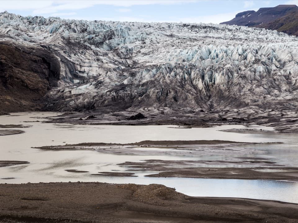
A glacier that reshaped the lowlandsFláajökull is an outlet of Vatnajökull. It reached its Little Ice Age maximum in 1894.

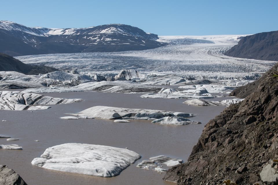
Fláajökull is an outlet of Vatnajökull. It reached its Little Ice Age maximum in 1894. As the ice retreats, it exposes new ground and shifts glacial river courses. Reindeer may be seen in the area, especially in winter, though sightings are never guaranteed.

Plan for both endsThe park names car parks at Haukafell and on the Fláajökull side.

The park names car parks at Haukafell and on the Fláajökull side. This is one-way, so arrange a pickup at the far end or allow for the return walk. A separate footpath from Haukafell reaches Fláajökull after a little over 2 km; that shorter approach is a different outing from the full J3. Haukafell has a campsite. Keep pets from disturbing wildlife and clean up after them.
Wildlife

Wildlife in Vatnajökull

All Vatnajökull wildlife maps

Sighting maps show where each species has been reported across Vatnajökull. Wildlife moves, so no sighting is guaranteed.

Keep exploring

Near Fláajökull (Hólmsá) – Haukafell

See it all on the map

Trails that start nearby

Places near the trailhead

Parkwolf’s Vatnajökull ranking

Top-rated trails in Vatnajökull

All 92 trails
  1. 1Svartifoss–Sjónarsker–Sel Loop (S2)Moderate · 5.8 km
  2. 2Dettifoss and Selfoss – West BankEasy · 2.5 km
  3. 3Svartifoss TrailModerate · 3 km
  4. 4Skaftafellsjökull Glacier TrailEasy · 4.1 km
  5. 5Múlagljúfur Canyon TrailModerate · 3.9 km
  6. 6Kristínartindar S4 Summit CircuitChallenging · 17.9 km

Take Parkwolf to Vatnajökull.

The audio tour guide for the drive, plus offline maps, trails, and wildlife heatmaps for when the signal drops.

4.7 from 8,600+ ratings

Download Parkwolf on the App StoreGet Parkwolf on Google Play