Overview
About Fláajökull
Why stop
- Marked history and geology walks add more than a glacier view.
Heads up
- The 6 km gravel approach and river warning limit close access.
Map
Where it is

The highest, rockiest slopes around here are a summer buffet for grizzly bears.
Vatnajökull Tour Guide
Your drive to Fláajökull, narrated.
Parkwolf is a GPS audio tour guide for Vatnajökull National Park. As you drive, it chimes in with what’s ahead: hidden gems, upcoming stops, history, geology, and wildlife, right through your car’s speakers.
More stories near here in the app
- Haukafell: Camping Among the Trees
- Heinaberg: The Farm Walk
- A River That Moves Sideways
- Heinabergslón: Ice and Changing Rivers
- 298 audio storiesacross Vatnajökull’s roads, triggered by GPS as you drive
- Wildlife heatmapsfor Grey Seal, Harbor Seal, Caribou, and 13 more
- Works offlinemaps, 92 trails, 75 places, and audio download before you lose signal
- CarPlay readysimple controls built for the drive
“Fantastic app with many points of information… It’s great to just turn on while you’re driving and it gives you an audio tour of the national Park. We love it!!!!”


Guide
More about Fláajökull
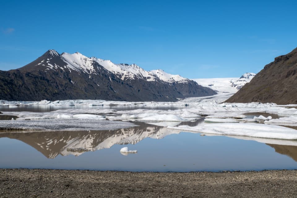
A glacier stop on the forelandFláajökull is an outlet glacier flowing from Vatnajökull into the Heinaberg lowlands.
Fláajökull is an outlet glacier flowing from Vatnajökull into the Heinaberg lowlands. The visitor area is a glacier foreland with marked walks and interpretation panels at a public car park. From Route 1 between Hólmur and Lambleiksstaðir, the final 6 km are gravel. This is a land-based glacier stop: there is no bridge over Hólmsá, and the park advises against crossing the river. Overnight stays are not allowed at the car park.
Choose a marked routeF1 is an easy circular history trail from the car park; allow 1 to 2 hours.
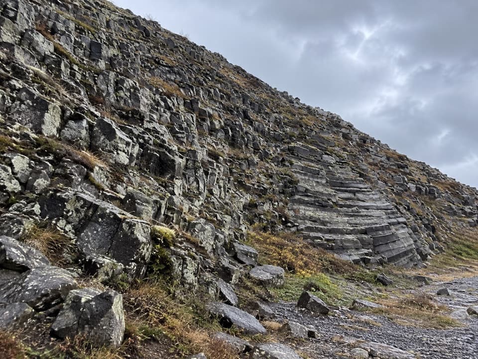
F1 is an easy circular history trail from the car park; allow 1 to 2 hours. The dedicated route page lists 3.6 km, while the destination overview lists 2.6 km, so check the mapped route before relying on the shorter distance. F2 heads east into the geology of the area. It is a challenging 3.6 km walk estimated at about two hours.
When the glacier reached farmsFláajökull reached its greatest known extent in 1894, during the Little Ice Age.
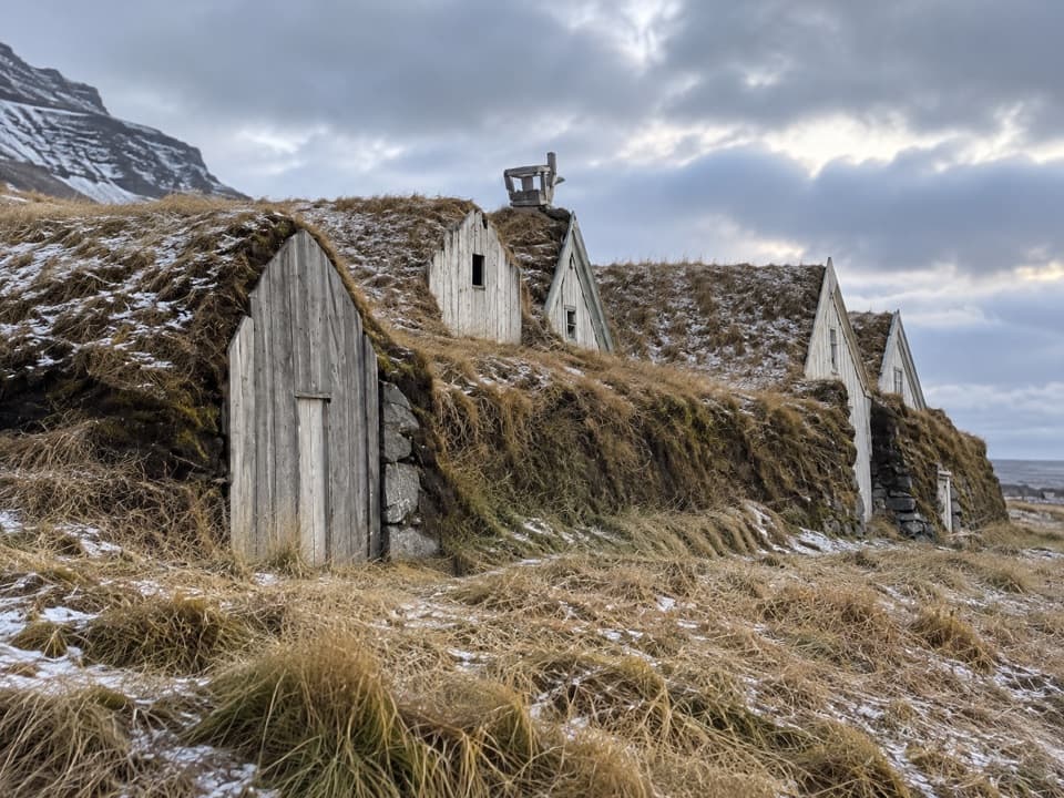
Fláajökull reached its greatest known extent in 1894, during the Little Ice Age. Its snout pushed into the lowlands near nearby farmsteads, and glacier streams damaged pasture and laid waste to farms. The historical F1 trail gives that broad, gravelly foreland a human story as well as a glacial one.
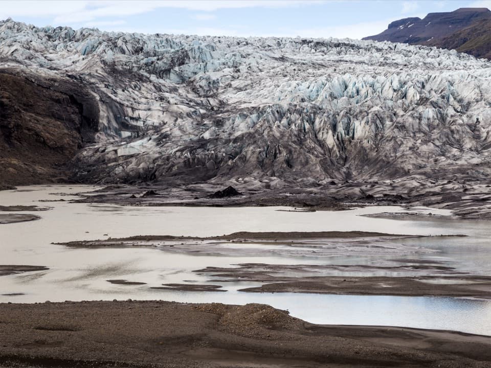
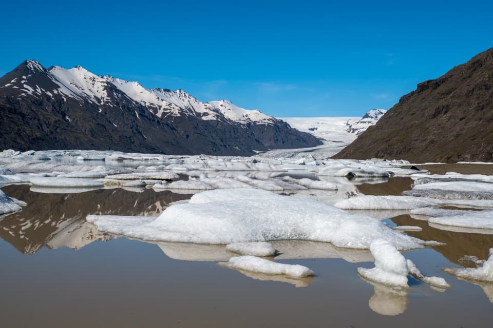
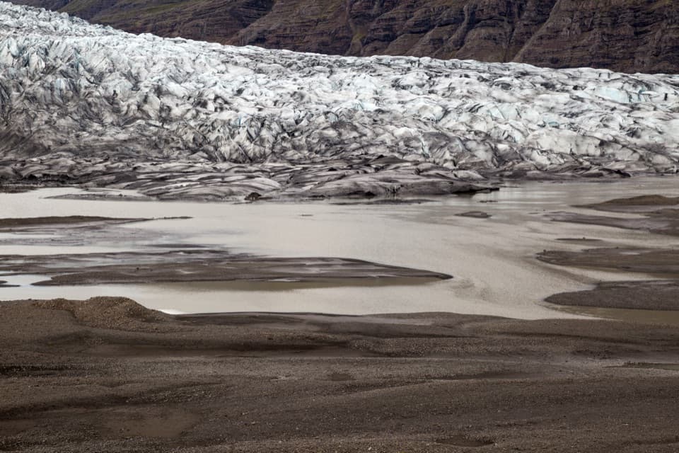
The ice and meltwater viewThe defining view is the glacier front above pale meltwater channels and dark gravel bars.
The defining view is the glacier front above pale meltwater channels and dark gravel bars. For a photo, include some of those channels in the foreground; a frame filled only with ice hides the shape of the foreland. Reindeer may be seen in the area, especially in winter, though sightings are never guaranteed.
Wildlife
Wildlife in Vatnajökull
 23 sightingsGrey SealMost seen around 5 AMSighting map
 260 sightingsHarbor SealMost seen around 11 AMSighting map
 184 sightingsCaribouMost seen around 7 PMSighting map
 62 sightingsArctic FoxMost seen around 8 PMSighting map
 169 sightingsWhooper SwanMost seen around 5 PMSighting map
 68 sightingsAtlantic PuffinMost seen around 7 PMSighting map
Sighting maps show where each species has been reported across Vatnajökull. Wildlife moves, so no sighting is guaranteed.