Parking
Start at the Hoffellsjökull car park. From Route 1, drive 3 km on paved road to Hoffell, then 4 km on gravel to the lot. Four-wheel drive is recommended for the gravel approach. Picnic tables are beside the parking area.
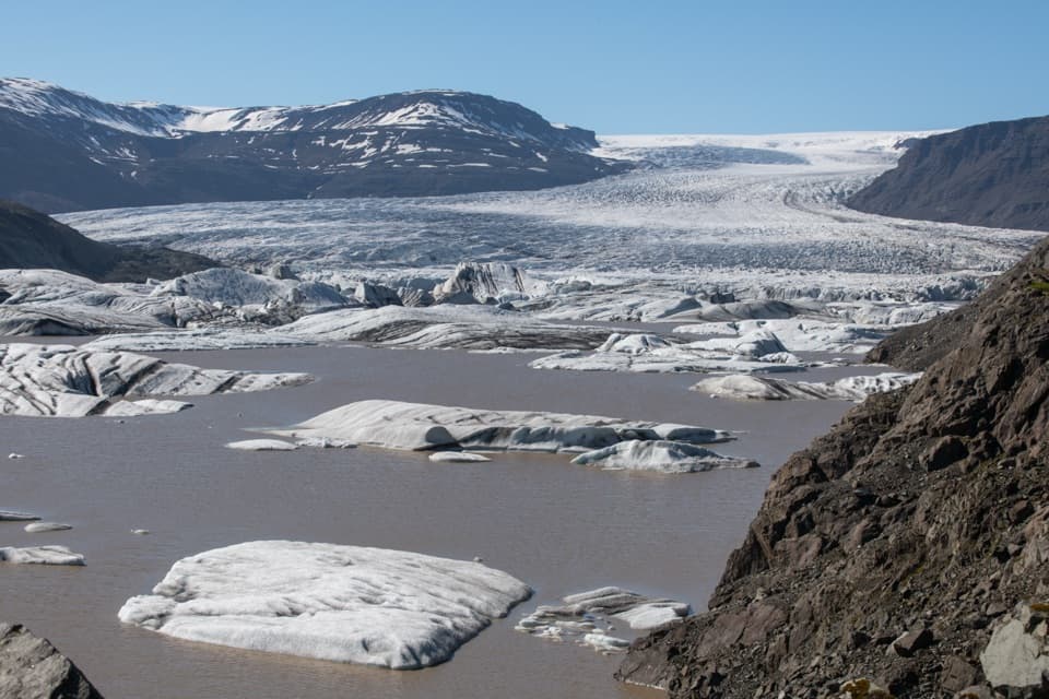
Vatnajökull National Park
A short, rocky path to a view across Hoffellslón and the glacier.
Photo: Hansueli Krapf, CC BY-SA 4.0
Overview
Map & elevation
Plan your hike

The highest, rockiest slopes around here are a summer buffet for grizzly bears.
Vatnajökull Tour Guide
Parkwolf is a GPS audio tour guide for Vatnajökull National Park. As you drive, it chimes in with what’s ahead: hidden gems, upcoming stops, history, geology, and wildlife, right through your car’s speakers.
Recorded for this trailhead
Hoffellsjökull: Glacier View and Ice for Höfn“Up ahead is the starting point for Hoffellsjökull Viewpoint, with a glacier and an ice-strewn lagoon just a short walk away.”
Plays as you drive up to this trailhead in the Parkwolf Vatnajökull Tour Guide.
More stories near here in the app
“Fantastic app with many points of information… It’s great to just turn on while you’re driving and it gives you an audio tour of the national Park. We love it!!!!”


Trail guide
This marked 0.5 km out-and-back starts at the Hoffellsjökull car park and heads southwest of Geitafellsbjörg to a viewpoint over Hoffellslón and the glacier front. The park estimates about 10 minutes and lists 15 m of elevation, so it is easy to fit in. The payoff is a close look across the lagoon at the ice edge and floating ice. The dark moraine makes a useful foreground if you want a photo that shows the scale of the glacier.
The marked route is short but rated challenging, with rocky, uneven footing. The published distance is for the full trip back to the car park; the line on the map shows the walk to the viewpoint once. Turn back to the lot from the viewpoint. Keep to the marked path, and keep pets from disturbing vegetation, wildlife or other walkers; clean up after them.
The Hoffellsjökull car park is reached by 3 km of paved road from Route 1 to Hoffell, followed by 4 km of gravel. That last section can be rough, especially during snowmelt, and four-wheel drive is recommended. There are picnic tables by the parking area. Hoffell Guesthouse, before the gravel road, has a short presentation about the glacier and the surrounding area; it is a separate stop from this trail.
Hoffellsjökull is one of the large outlet glaciers flowing south from Vatnajökull. The ice has carved deeply into the sedimentary outwash plain, and its retreat has left a broad glacial lake with old shorelines. From the viewpoint, the lagoon and glacier sit in the same view, making that changing edge of ice easy to see.
The outcrops of Geitafellsbjörg near the route are mostly gabbro, an intrusive rock exposed by erosion and post-glacial uplift. Nearby Geitafell is an extinct central volcano that was active about 5–6 million years ago. The short walk brings together the dark volcanic bedrock, the outwash plain and the glacier that shaped the valley.
Wildlife
 23 sightingsGrey SealMost seen around 5 AMSighting map
 260 sightingsHarbor SealMost seen around 11 AMSighting map
 184 sightingsCaribouMost seen around 7 PMSighting map
 62 sightingsArctic FoxMost seen around 8 PMSighting map
 169 sightingsWhooper SwanMost seen around 5 PMSighting map
 68 sightingsAtlantic PuffinMost seen around 7 PMSighting map
Sighting maps show where each species has been reported across Vatnajökull. Wildlife moves, so no sighting is guaranteed.
Keep exploring
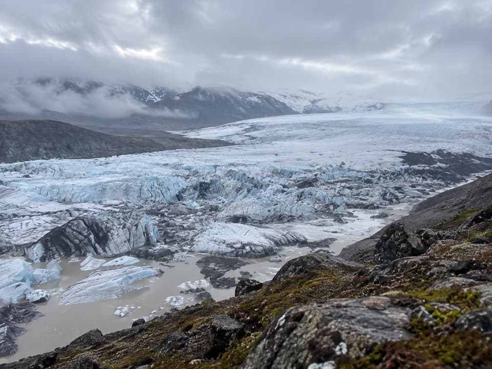 ChallengingGeitafellstindur (O4)12 km · 5.5 hr · At the trailheadA long climb to a high ridge above Hoffellsjökull
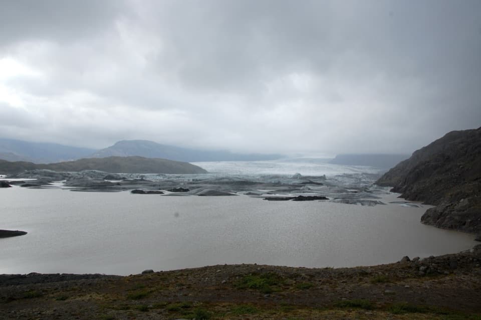 ModerateHúsberg Loop1.5 km · 1 hr · At the trailheadA short ridge loop for glacier views and quarry historyModerateGeitafellsbjörg Loop6.1 km · 2.5 hr · At the trailheadA challenging six-kilometer loop with a wide glacier view.ChallengingHoffell - Hoffellsjökull Trail (O5)7.5 km · 2.5 hr · 3.5 km awayAn unmarked walk toward a retreating glacier and its terminal moraine.
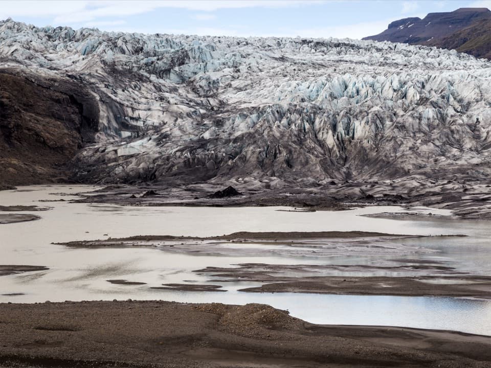 ChallengingFláajökull (Hólmsá) – Haukafell4.5 km · 4.5 hr · 9.6 km awayA marked point-to-point walk to Fláajökull’s glacier lagoon.ModerateGeological Trail East of Fláajökull3.6 km · 2 hr · 11.2 km awayA short, challenging geology walk east of Fláajökull.
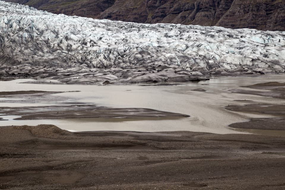 EasyHistorical Trail south of Fláajökull2.6 km · 1.5 hr · 13.1 km awayA short loop pairs glacier views with a local history trail.
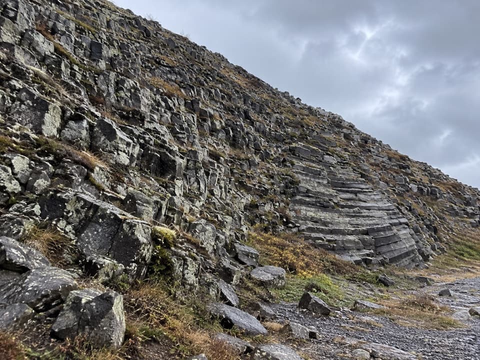 ModerateHeinar Trail1.8 km · 1 hr · 16.5 km awayA challenging short circle past Heinar’s ribbed basalt columns.
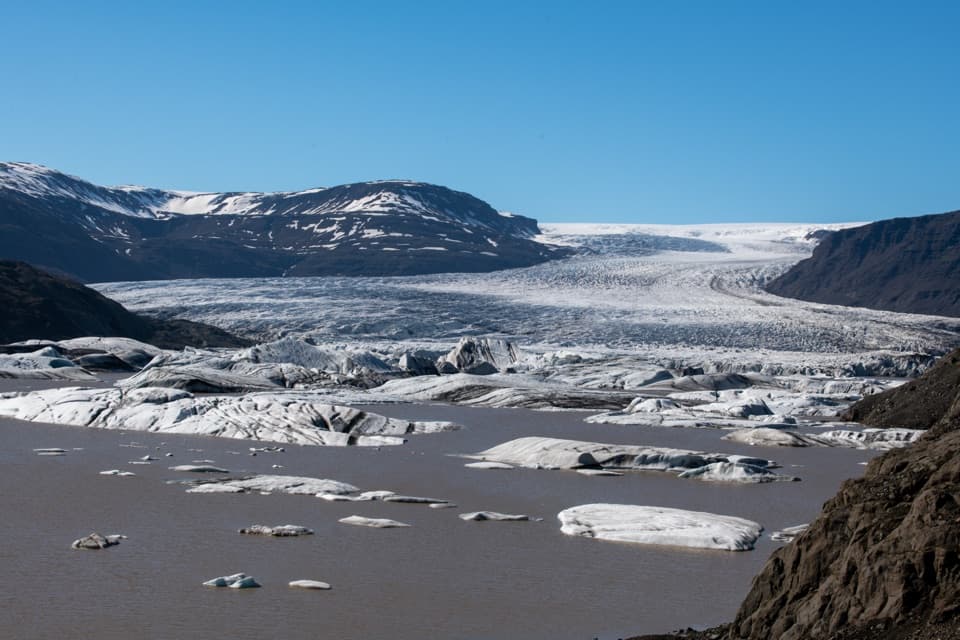 Sight · 0.3 km awayHoffellsjökull ViewpointA quick walk to a glacier lagoon scattered with icebergs.
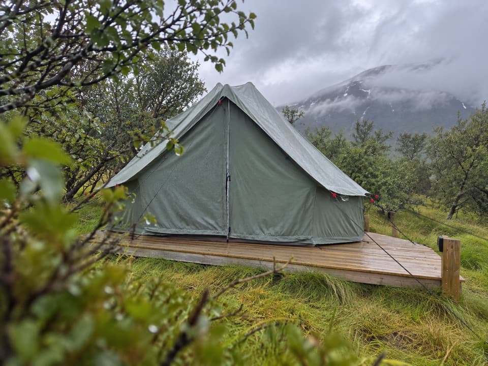 Campground · 9.5 km awayHaukafell CampgroundA camping base among trees, with a footpath toward Fláajökull.Sight · 13.1 km awayFláajökullA glacier front, meltwater channels, and two interpretive walks.
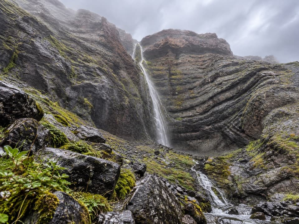 Sight · 15.8 km awayBólstaðafossA waterfall on Heinaberg’s challenging glacier-and-basalt circuit.
Parkwolf’s Vatnajökull ranking

The audio tour guide for the drive, plus offline maps, trails, and wildlife heatmaps for when the signal drops.




