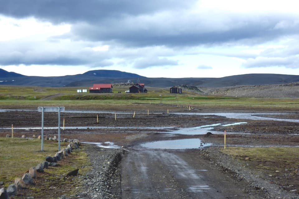
Parking
Use the car park on F910 directly in front of Innri-Hagajökull; check current road access before driving into the highlands.
Vatnajökull National Park
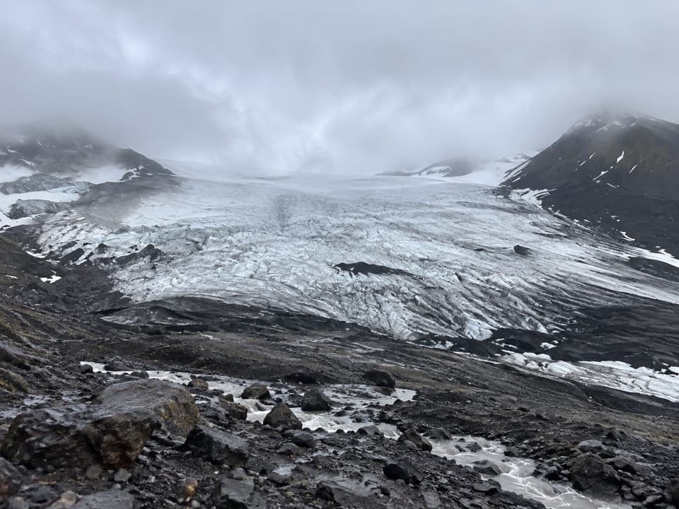
A gentle moraine walk with a close look at an outlet glacier.
Overview
Map & elevation
Plan your hike

The highest, rockiest slopes around here are a summer buffet for grizzly bears.
Vatnajökull Tour Guide
Parkwolf is a GPS audio tour guide for Vatnajökull National Park. As you drive, it chimes in with what’s ahead: hidden gems, upcoming stops, history, geology, and wildlife, right through your car’s speakers.
Recorded for this area
The Plover’s Pretend Injury“Sometimes a ringed plover's apparent injury is a distraction. A nesting adult may pretend to have a broken wing, making itself look like an easy catch.”
Plays on the road 1.7 km from the trailhead in the Parkwolf Vatnajökull Tour Guide.
More stories near here in the app
“Fantastic app with many points of information… It’s great to just turn on while you’re driving and it gives you an audio tour of the national Park. We love it!!!!”


Trail guide
Innri-Hagajökull is a 2.78-mile out-and-back from the F910 car park across glacial moraine to a close view of the outlet glacier. The published 2 km figure is not labeled one way or return; the mapped N-3 footway measures 2.24 km to the far moraine, so this entry counts the walk back for a 4.47 km total. Allow 1.5 to 2 hours with time to look around. It is an easy, gentle approach rather than a summit hike.
The path rises gently over moraine, so expect loose, uneven ground instead of a smooth tread. It ends near the glacier, where you can take in the ice and the dark mountain walls around it. Follow the same mapped corridor back to F910; this is not a route onto the glacier. For a photo, keep some of the dark moraine in the foreground so the ice has scale.
Innri-Hagajökull is an outlet glacier of Tungnafellsjökull. Fagrafell, to the south, separates it from Fremri-Hagajökull. Meltwater streams from the two glaciers join as Hagakvísl north of Tómasarhagi and feed its vegetated patch in the highland desert.
The starting car park is on F910 directly in front of the glacier. Check current road access before driving into the highlands, then give yourself time to stop at the moraine before turning back.
Wildlife
 23 sightingsGrey SealMost seen around 5 AMSighting map
 260 sightingsHarbor SealMost seen around 11 AMSighting map
 184 sightingsCaribouMost seen around 7 PMSighting map
 62 sightingsArctic FoxMost seen around 8 PMSighting map
 169 sightingsWhooper SwanMost seen around 5 PMSighting map
 68 sightingsAtlantic PuffinMost seen around 7 PMSighting map
Sighting maps show where each species has been reported across Vatnajökull. Wildlife moves, so no sighting is guaranteed.
Keep exploring
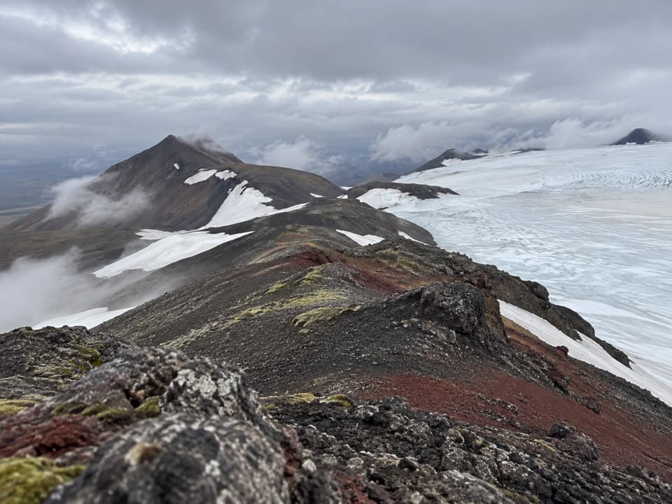 ChallengingTómasarhagi – Fremri-Hagajökull – Háhyrna11 km · 5 hr · 3.5 km awayAn 11 km out-and-back over moraines to Háhyrna’s steep summit.
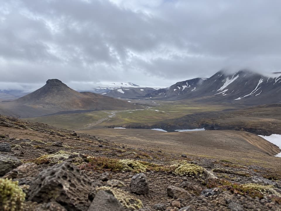 ChallengingNýidalur – Vonarskarð – Nýidalur26 km · 8.5 hr · 7.9 km awayHot springs, high ridges, and a long walk across Iceland’s divide.
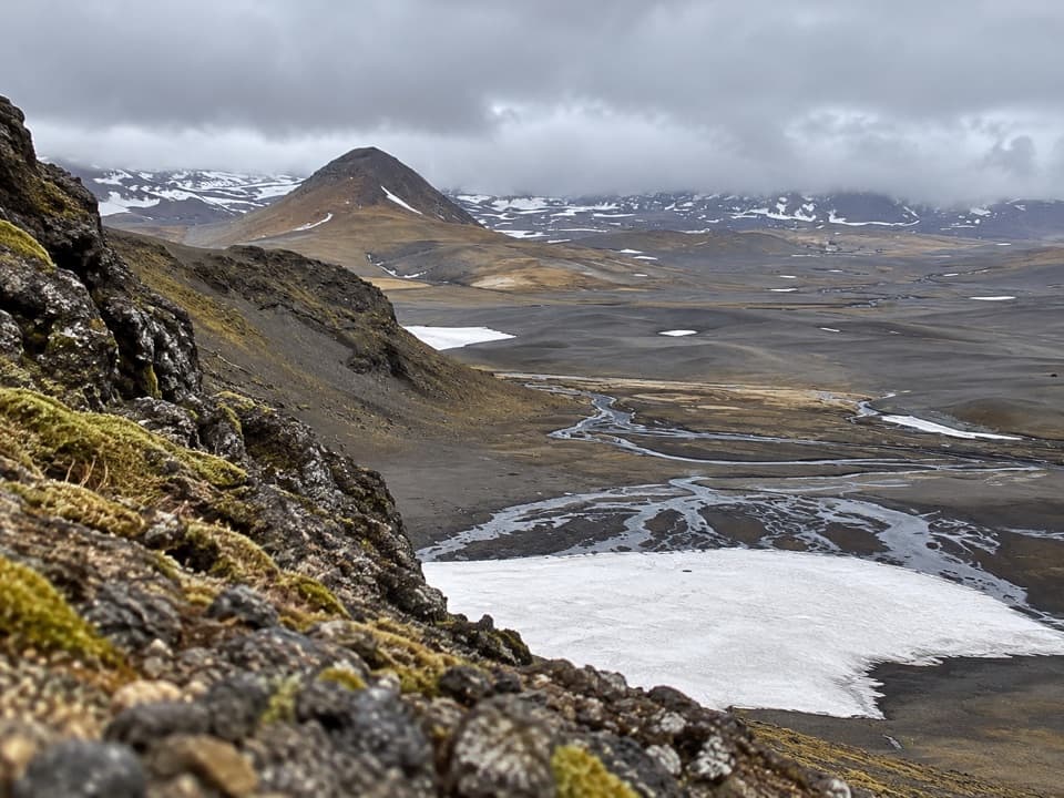 ChallengingSvarthöfði–Vonarskarð Trail (N7)7.4 km · 4 hr · 12.7 km awayA remote highland crossing to a geothermal basin
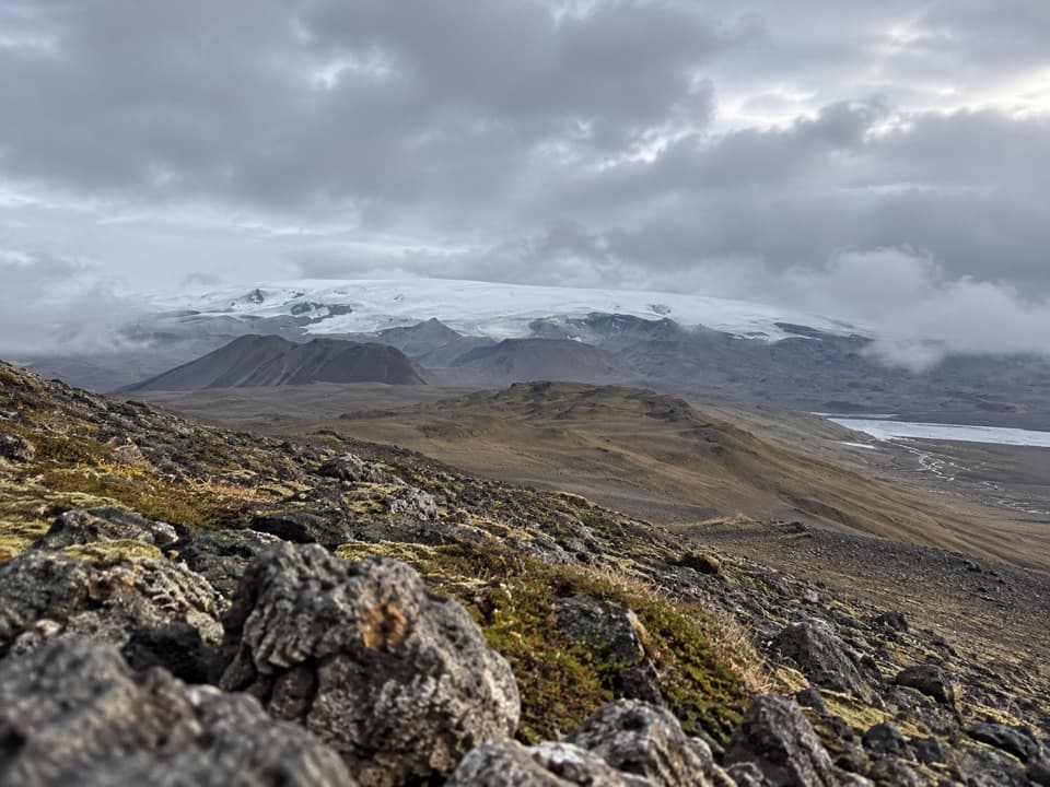 ChallengingGjósta – Vonarskarð16 km · 5.5 hr · 14.4 km awayA remote pass where waters split between north and south Iceland.
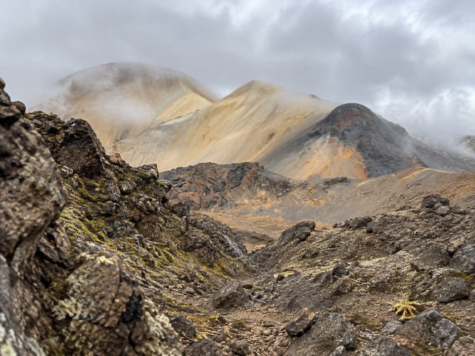 ChallengingTvílitaskarð9 km · 4 hr · 17.3 km awayA remote loop past a lake between dark and colorful volcanic rock.
Parkwolf’s Vatnajökull ranking

The audio tour guide for the drive, plus offline maps, trails, and wildlife heatmaps for when the signal drops.