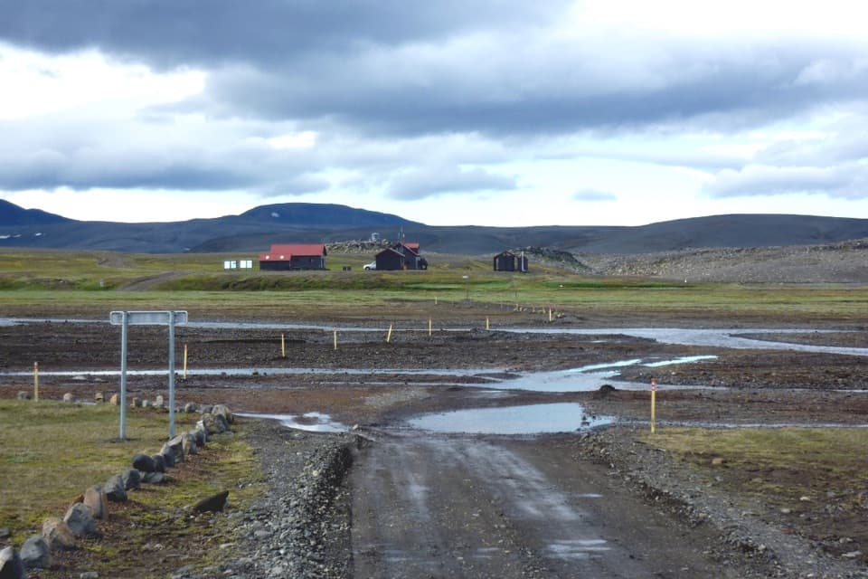
Parking
Use Svarthöfði parking, reached by a highland track from F26 near Skrokkalda by Hágöngulón. Roads in the district require a 4x4; some need larger vehicles, and river crossings can become impassable when water rises.
Vatnajökull National Park
A remote loop past a lake between dark and colorful volcanic rock.
Overview
Map & elevation
Plan your hike

The highest, rockiest slopes around here are a summer buffet for grizzly bears.
Vatnajökull Tour Guide
Parkwolf is a GPS audio tour guide for Vatnajökull National Park. As you drive, it chimes in with what’s ahead: hidden gems, upcoming stops, history, geology, and wildlife, right through your car’s speakers.
“Fantastic app with many points of information… It’s great to just turn on while you’re driving and it gives you an audio tour of the national Park. We love it!!!!”


Trail guide
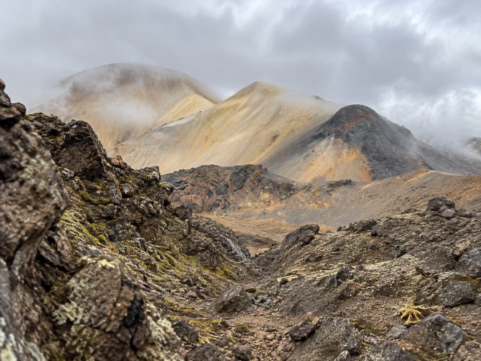
This is a 9 km (5.6 mi) loop from Svarthöfði parking, circling Kolufell by Tvílitaskarð and Kvíarvatn. Set aside 3–5 hours; the park grades it challenging, so this suits a half-day walk rather than a quick stop. The payoff is the contrast between Kolufell’s dark slopes, the colorful rhyolite at Skrauti, and views across Vonarskarð.
The circuit crosses Tvílitaskarð and reaches Kvíarvatn before returning around Kolufell. The mountain lake sits at about 982 m. From the pass, look for a view that takes in both the dark mountain and Skrauti’s lighter, multicolored slopes.
The park describes both hyaloclastite and rhyolite formations here. Kolufell’s black slopes stand opposite the bright rhyolite of Skrauti, giving this loop a more specific payoff than simply walking through a highland valley.
Vonarskarð sits between river systems flowing north and south. The northern side feeds Skjálfandafljót, while Kaldakvísl drains to the south; the surrounding highland desert is part of a landscape shaped by the Bárðarbunga volcanic system.
Start at Svarthöfði parking. The access track leaves F26 near Skrokkalda by Hágöngulón. The park warns that roads in this district are highland routes for 4x4s; some need larger vehicles, and glacial river crossings can rise enough to become impassable. There is no mobile or TETRA coverage in Vonarskarð. I couldn’t confirm a dog rule for this trail, so check before bringing a pet.
Wildlife
 23 sightingsGrey SealMost seen around 5 AMSighting map
 260 sightingsHarbor SealMost seen around 11 AMSighting map
 184 sightingsCaribouMost seen around 7 PMSighting map
 62 sightingsArctic FoxMost seen around 8 PMSighting map
 169 sightingsWhooper SwanMost seen around 5 PMSighting map
 68 sightingsAtlantic PuffinMost seen around 7 PMSighting map
Sighting maps show where each species has been reported across Vatnajökull. Wildlife moves, so no sighting is guaranteed.
Keep exploring
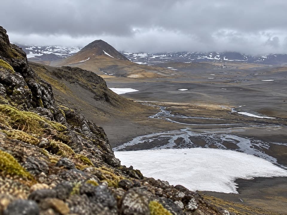 ChallengingSvarthöfði–Vonarskarð Trail (N7)7.4 km · 4 hr · 6 km awayA remote highland crossing to a geothermal basin
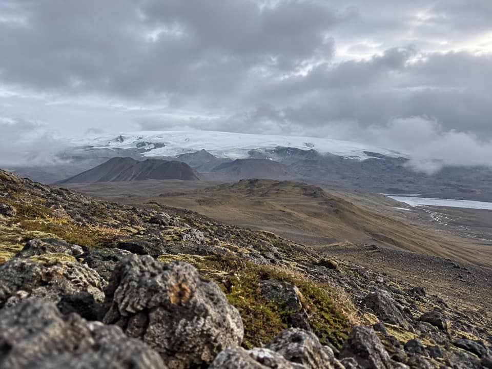 ChallengingGjósta – Vonarskarð16 km · 5.5 hr · 10.7 km awayA remote pass where waters split between north and south Iceland.
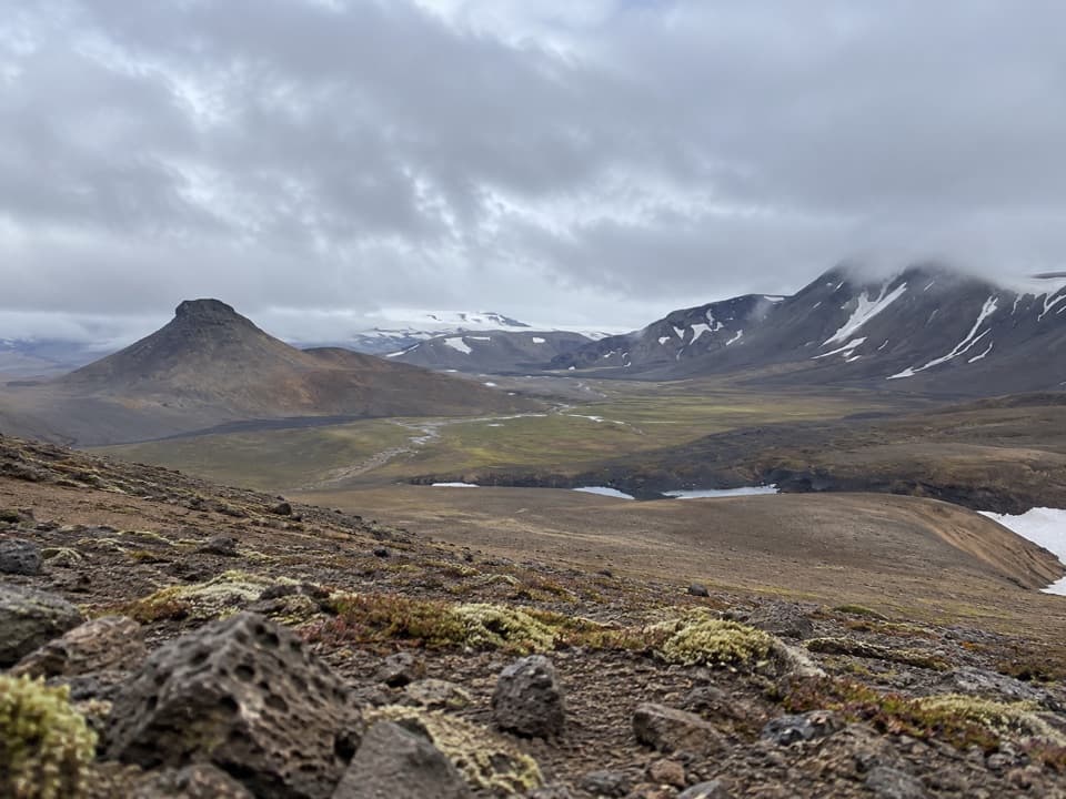 ChallengingNýidalur – Vonarskarð – Nýidalur26 km · 8.5 hr · 13.5 km awayHot springs, high ridges, and a long walk across Iceland’s divide.
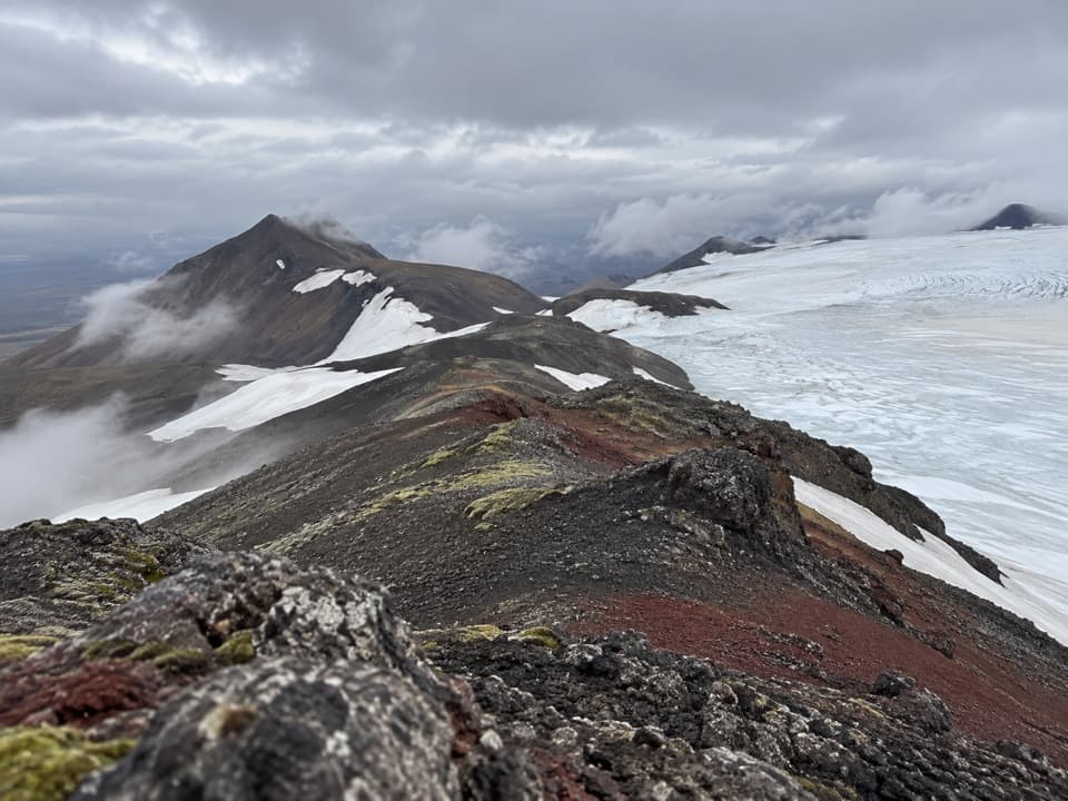 ChallengingTómasarhagi – Fremri-Hagajökull – Háhyrna11 km · 5 hr · 15.4 km awayAn 11 km out-and-back over moraines to Háhyrna’s steep summit.
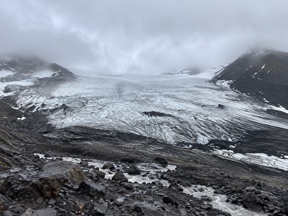 EasyInnri-Hagajökull4.5 km · 1.5 hr · 17.3 km awayA gentle moraine walk with a close look at an outlet glacier.
Parkwolf’s Vatnajökull ranking

The audio tour guide for the drive, plus offline maps, trails, and wildlife heatmaps for when the signal drops.