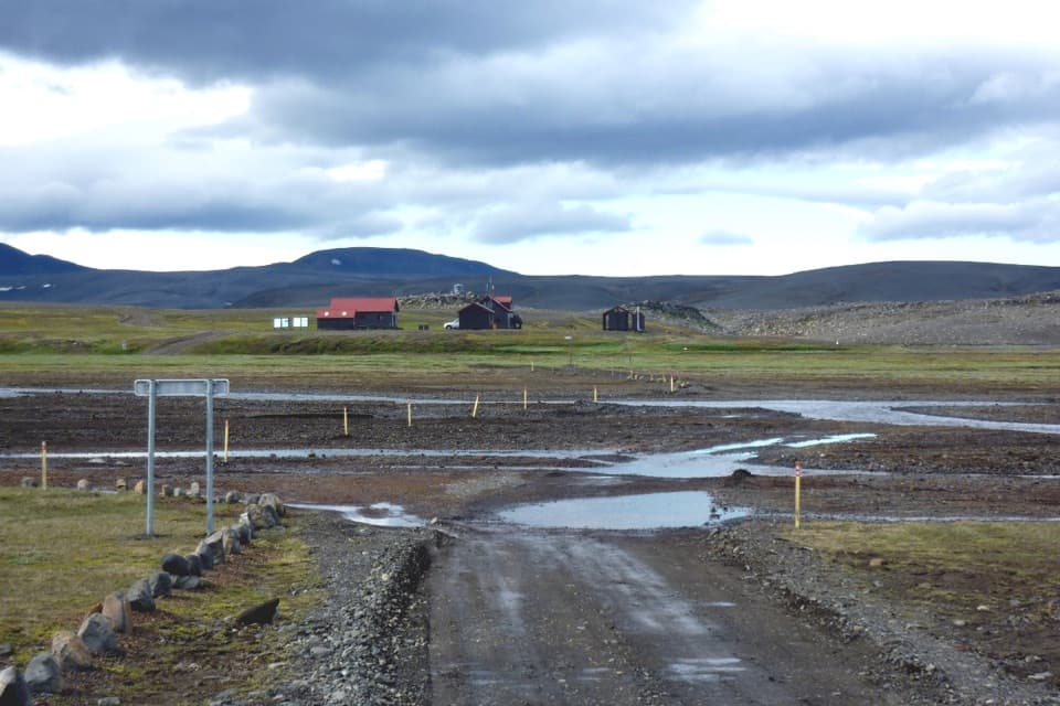
Parking
Start at Svarthöfði car park, the named N7 access. The lot size, fee and facilities were not confirmed. The mapped line ends at Hverahlíð, so arrange a pickup or plan to retrace the route; no transfer service is documented.
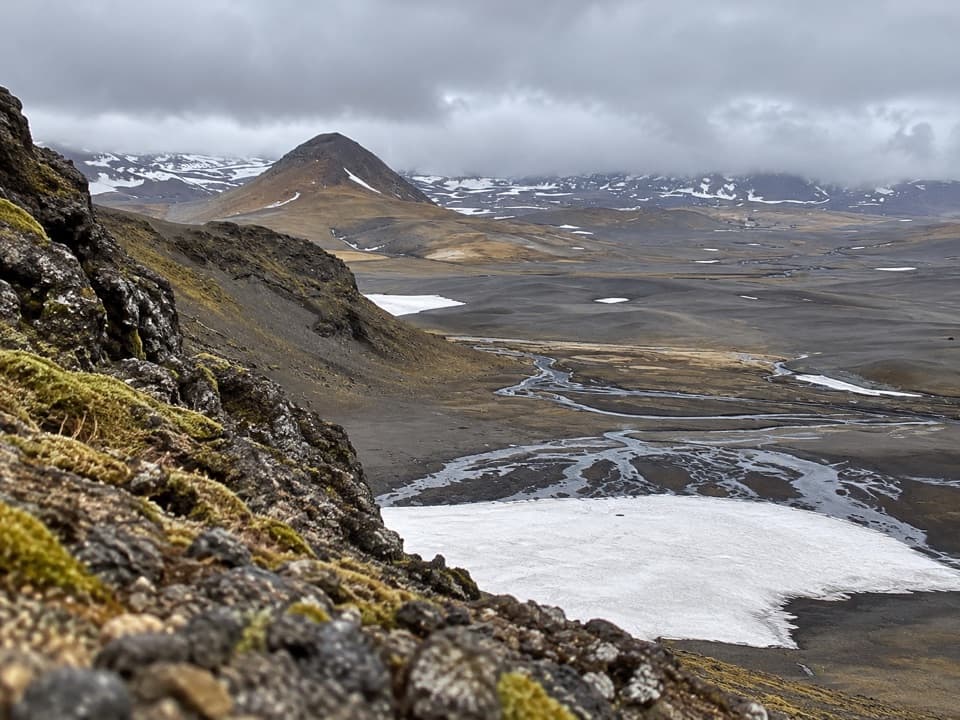
Vatnajökull National Park
A remote highland crossing to a geothermal basin
Overview
Map & elevation
Plan your hike

The highest, rockiest slopes around here are a summer buffet for grizzly bears.
Vatnajökull Tour Guide
Parkwolf is a GPS audio tour guide for Vatnajökull National Park. As you drive, it chimes in with what’s ahead: hidden gems, upcoming stops, history, geology, and wildlife, right through your car’s speakers.
“Fantastic app with many points of information… It’s great to just turn on while you’re driving and it gives you an audio tour of the national Park. We love it!!!!”


Trail guide
This is N7, a point-to-point highland walk from Svarthöfði car park to Hverahlíð. The mapped corridor is about 7.4 km (4.6 miles) one way. The park lists 6.5 km and 3–5 hours but does not say whether either figure covers one way or a return; its distance is shorter than the mapped path. If you need to get back to Svarthöfði on foot, retracing the corridor makes roughly 14.8 km. Plan that return before you leave.
The route crosses the pass between Svarthöfði and Kolufell, follows the slopes of Skrauti, then drops into Snapadalur and reaches Hverahlíð. Expect open, rough highland ground and rhyolite scree, with alpine vegetation rather than a built path. This is a remote walk for people comfortable with a long interior route; the payoff is the geothermal landscape and the scale of Vonarskarð, not an easy summit finish.
Hverahlíð is a high-temperature geothermal area. Activity is strongest around Hverabotn below Eggjaskarð; Varmilækur and Rauðilækur drain the basin, and Snapadalur has warm streams. Keep to the marked route through this fragile, hot landscape.
Vonarskarð is the divide between north and south Iceland. The headwaters of both Skjálfandafljót and Kaldakvísl begin in the pass. There is a story that the settler Gnúpa-Bárður crossed here during Iceland’s Settlement Age, but the first recorded travel in the area is from about 1839.
Svarthöfði car park is the named start, and the route ends at Hverahlíð rather than at the lot. No transfer service is documented, so arrange a pickup or plan to walk back. There is no mobile or TETRA coverage in Vonarskarð; download your route and sort out communication before setting off. No food, drinking-water refill or toilet is confirmed along the trail, and the pet rule was not established.
Wildlife
 23 sightingsGrey SealMost seen around 5 AMSighting map
 260 sightingsHarbor SealMost seen around 11 AMSighting map
 184 sightingsCaribouMost seen around 7 PMSighting map
 62 sightingsArctic FoxMost seen around 8 PMSighting map
 169 sightingsWhooper SwanMost seen around 5 PMSighting map
 68 sightingsAtlantic PuffinMost seen around 7 PMSighting map
Sighting maps show where each species has been reported across Vatnajökull. Wildlife moves, so no sighting is guaranteed.
Keep exploring
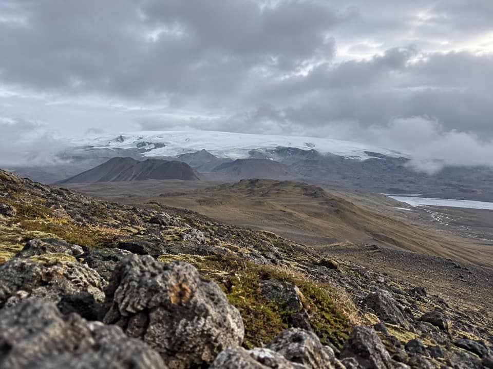 ChallengingGjósta – Vonarskarð16 km · 5.5 hr · 5.7 km awayA remote pass where waters split between north and south Iceland.
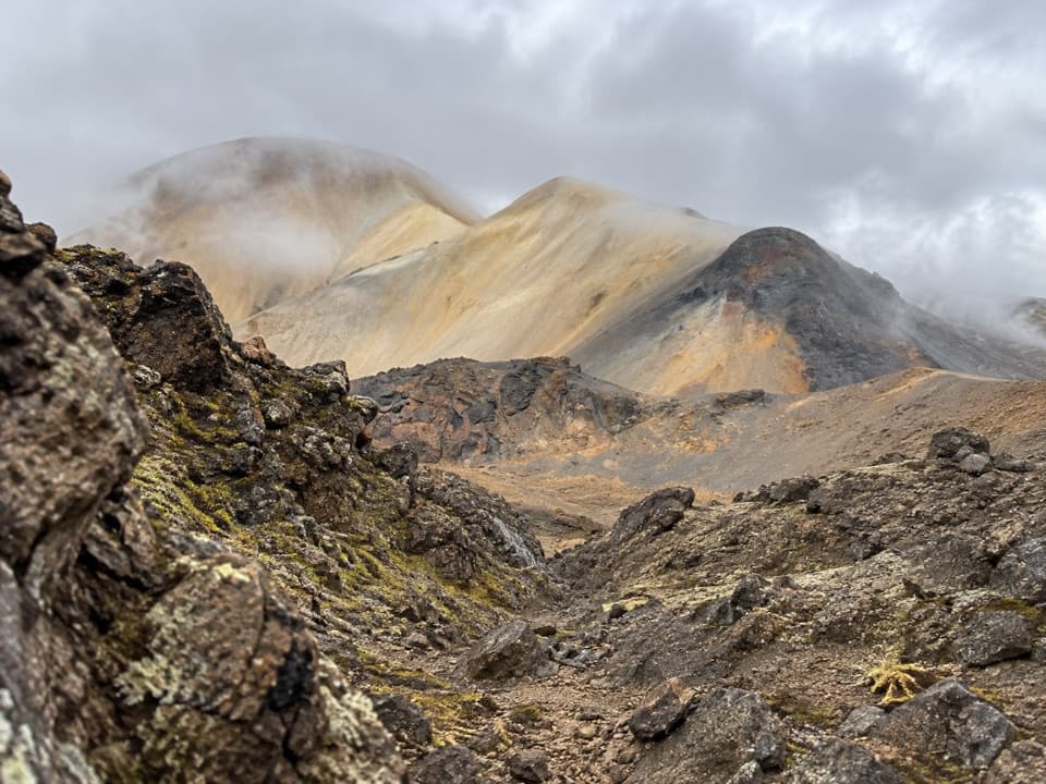 ChallengingTvílitaskarð9 km · 4 hr · 6 km awayA remote loop past a lake between dark and colorful volcanic rock.
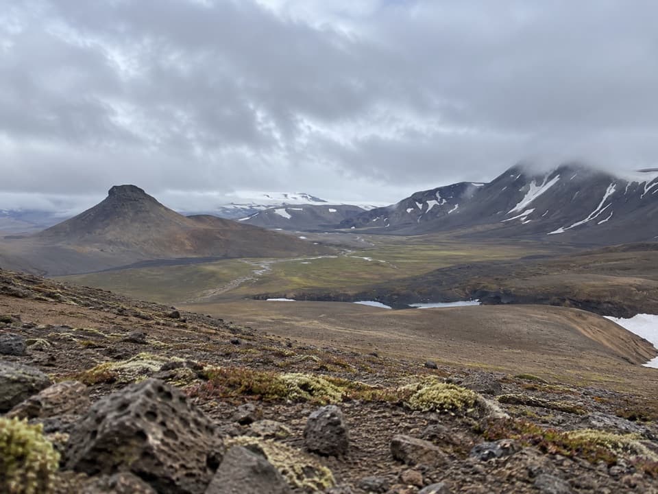 ChallengingNýidalur – Vonarskarð – Nýidalur26 km · 8.5 hr · 11.5 km awayHot springs, high ridges, and a long walk across Iceland’s divide.
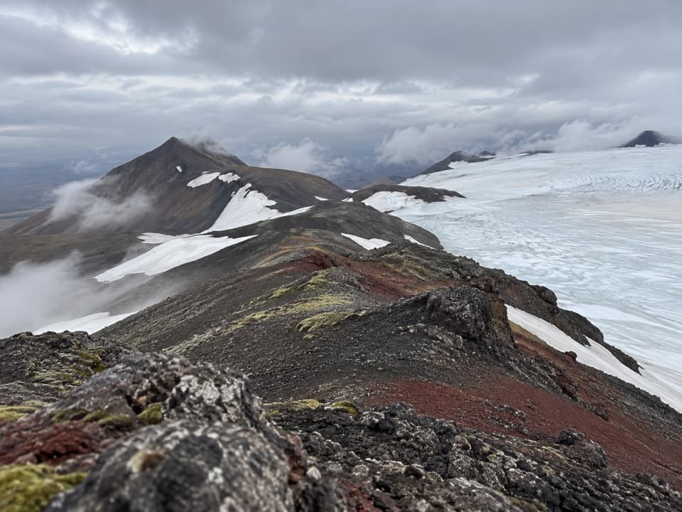 ChallengingTómasarhagi – Fremri-Hagajökull – Háhyrna11 km · 5 hr · 11.7 km awayAn 11 km out-and-back over moraines to Háhyrna’s steep summit.
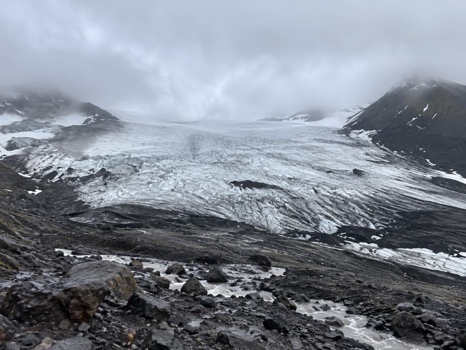 EasyInnri-Hagajökull4.5 km · 1.5 hr · 12.7 km awayA gentle moraine walk with a close look at an outlet glacier.
Parkwolf’s Vatnajökull ranking

The audio tour guide for the drive, plus offline maps, trails, and wildlife heatmaps for when the signal drops.