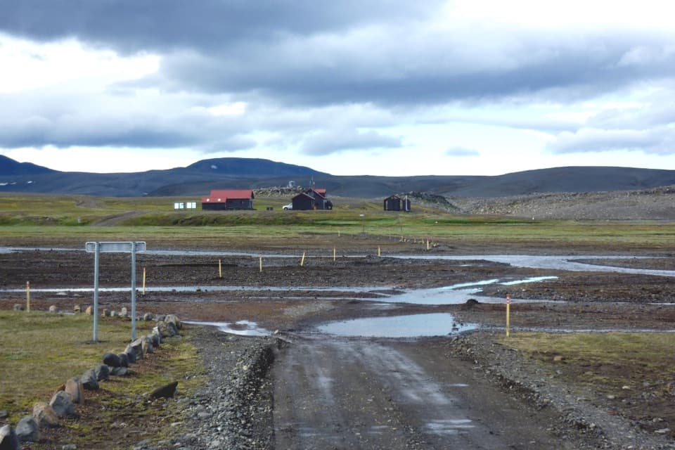
Parking
Start at the Nýidalur hut area on F26, using the marked parking beside the huts. Summer access requires four-wheel drive; unbridged rivers on the approach can rise quickly. There is no food or fuel for sale at Nýidalur.
Vatnajökull National Park
Hot springs, high ridges, and a long walk across Iceland’s divide.
Overview
Nýidalur–Vonarskarð–Nýidalur (N6) is a challenging full-day out-and-back from Nýidalur hut to the geothermal area at Hverahlíð, then back the same way. Expect about 26 km round trip and seven to ten hours. The distance listings disagree: one says 26 km, another 28 km, so plan for the longer day. This is a long highland walk, not a quick stop at the hot springs. N7 and N9 reach Hverahlíð from different trailheads; they’re separate approaches, not add-ons to this Nýidalur route.
 Parkwolf’s verdictIs this the hike for you?
Map & elevation
Plan your hike

The highest, rockiest slopes around here are a summer buffet for grizzly bears.
Vatnajökull Tour Guide
Parkwolf is a GPS audio tour guide for Vatnajökull National Park. As you drive, it chimes in with what’s ahead: hidden gems, upcoming stops, history, geology, and wildlife, right through your car’s speakers.
Recorded for this trailhead
Nýidalur: A Highland Break“You're coming up on Nýidalur, a pair of mountain huts and a campground beside the Sprengisandur crossing.”
Plays as you drive up to this trailhead in the Parkwolf Vatnajökull Tour Guide.
More stories near here in the app
“Fantastic app with many points of information… It’s great to just turn on while you’re driving and it gives you an audio tour of the national Park. We love it!!!!”


Trail guide
From the hut the marked route climbs Mjóháls ridge. That first climb is about 250 m, and the ridge is worth pausing for: you look back over Nýidalur toward Tungnafellsjökull. Keep time in hand, though. The route carries on beyond the view, drops into Vonarskarð, and continues to Hverahlíð beneath Eggja before you retrace the full line to the hut. Total climbing is reported at about 700 m across the walk, with more ups and downs after the ridge.
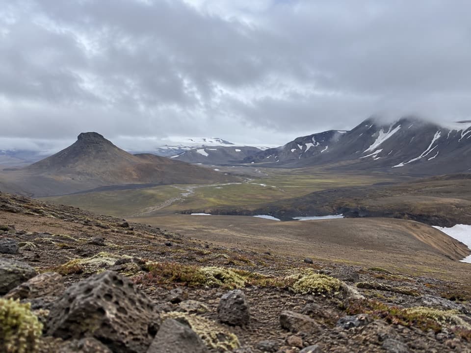
Vonarskarð is the divide between north- and south-flowing Iceland. The headwaters of Skjálfandafljót flow north; Kaldakvísl flows south toward Tungnaá. Streams can look close together in this high, open basin and still drain to opposite coasts. The landscape around them is spare: black sand and pumice, glacial streams and patches of hardy green. The first recorded crossing of the pass was in 1839; older stories about who crossed it before then are uncertain.
Hverahlíð lies below Eggja, where mud springs, sulfur deposits, steaming vents and hot pools mark the geothermal field. The strongest activity is higher at Hverabotn beneath Eggjaskarð. Warm streams called Varmilækur and Rauðilækur run down the slope. This is the destination, not a place to wander freely: geothermal ground can be dangerous, so stay on the marked route and keep clear of hot water and vents. For a photo, include a little of the dark ridge in the foreground with the basin and snow-striped mountains beyond; it shows how broad the pass is.
Nýidalur is reached on the highland route F26. Summer access requires a four-wheel-drive vehicle, and the unbridged rivers on the approach can rise quickly. Check road conditions with park wardens before setting out. The hut area has campground facilities, toilets and showers, but there’s no food or fuel for sale, so don’t count on resupplying there.
There’s no phone or TETRA coverage in Vonarskarð. This is a hard, remote day with no quick way to call for help from the pass. Decide whether the full distance and isolation suit your group before leaving Nýidalur; once you’re over Mjóháls, the route still has a long return to the same start.
Wildlife
 23 sightingsGrey SealMost seen around 5 AMSighting map
 260 sightingsHarbor SealMost seen around 11 AMSighting map
 184 sightingsCaribouMost seen around 7 PMSighting map
 62 sightingsArctic FoxMost seen around 8 PMSighting map
 169 sightingsWhooper SwanMost seen around 5 PMSighting map
 68 sightingsAtlantic PuffinMost seen around 7 PMSighting map
Sighting maps show where each species has been reported across Vatnajökull. Wildlife moves, so no sighting is guaranteed.
Keep exploring
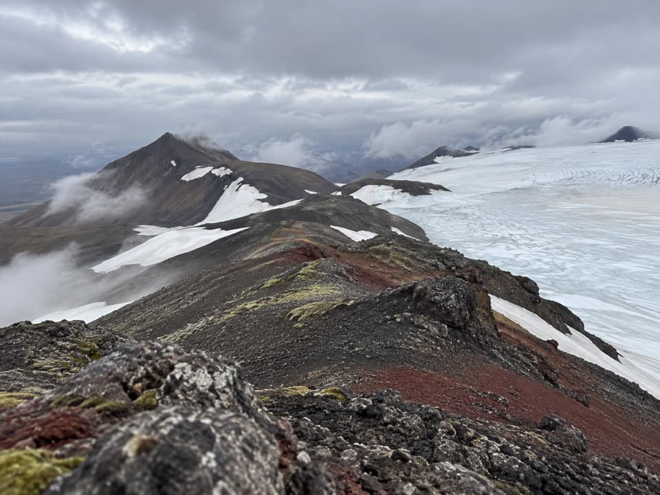 ChallengingTómasarhagi – Fremri-Hagajökull – Háhyrna11 km · 5 hr · 4.4 km awayAn 11 km out-and-back over moraines to Háhyrna’s steep summit.
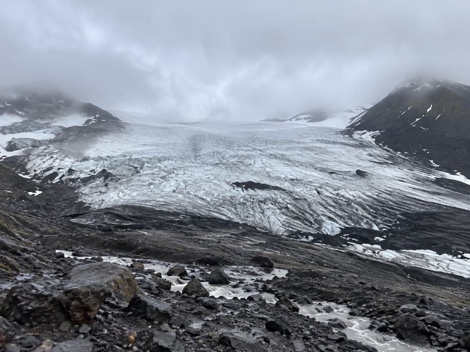 EasyInnri-Hagajökull4.5 km · 1.5 hr · 7.9 km awayA gentle moraine walk with a close look at an outlet glacier.
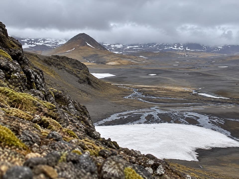 ChallengingSvarthöfði–Vonarskarð Trail (N7)7.4 km · 4 hr · 11.5 km awayA remote highland crossing to a geothermal basin
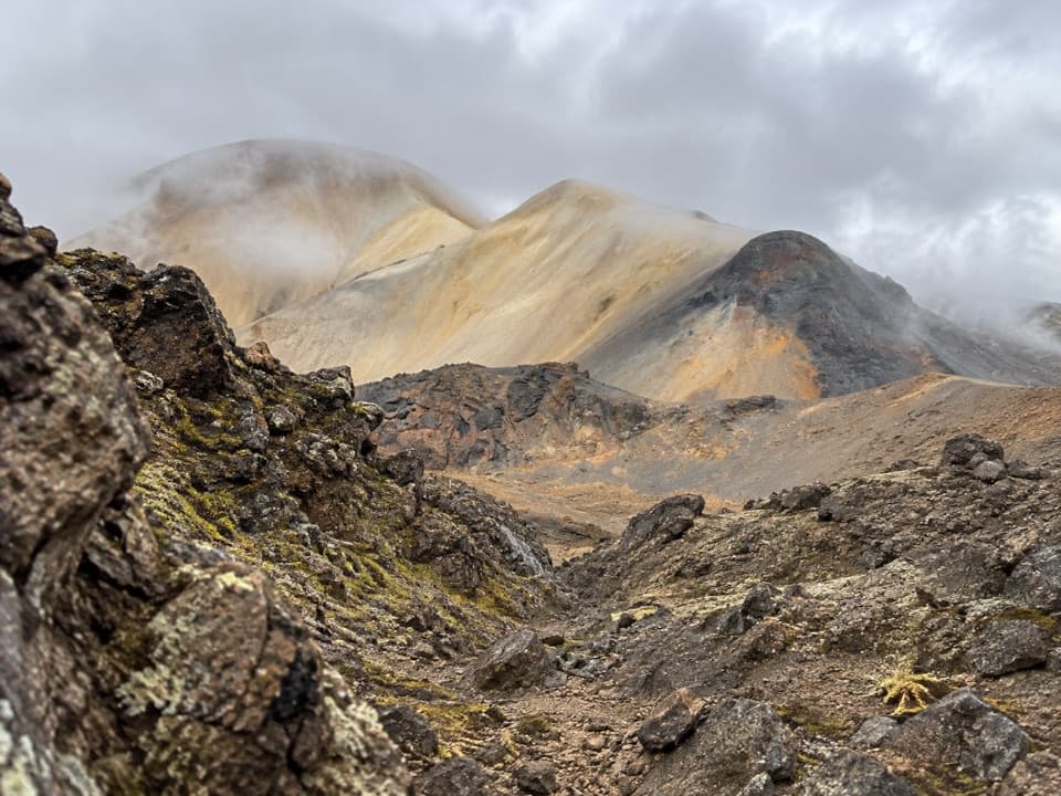 ChallengingTvílitaskarð9 km · 4 hr · 13.5 km awayA remote loop past a lake between dark and colorful volcanic rock.
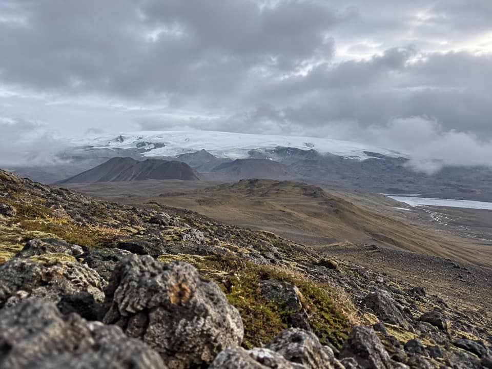 ChallengingGjósta – Vonarskarð16 km · 5.5 hr · 16 km awayA remote pass where waters split between north and south Iceland.
Parkwolf’s Vatnajökull ranking
The audio tour guide for the drive, plus offline maps, trails, and wildlife heatmaps for when the signal drops.