Pros & cons
PROS
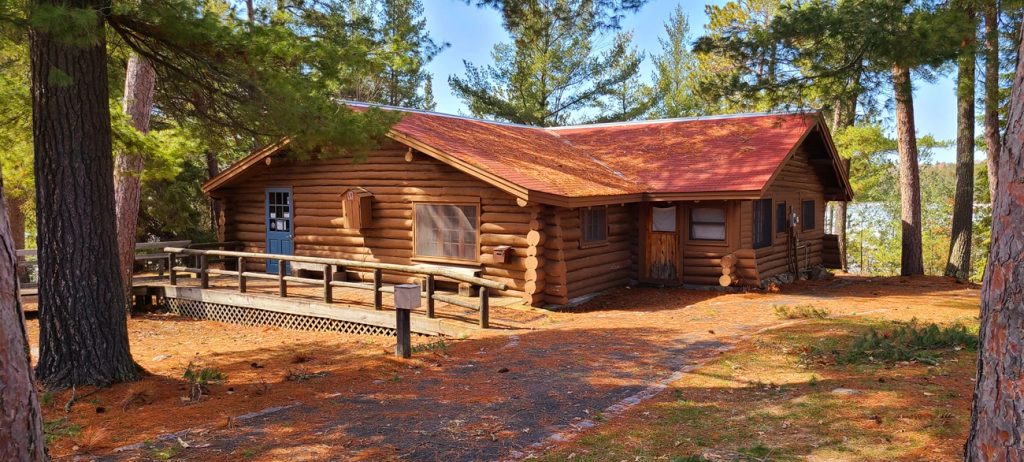
- Cluster of CCC-era log buildings right on the lakeshore
- Easy access to lake views, boat launch, and a quiet picnic spot
CONS
- Limited services and no food on site
- Not a lot to do beyond the historic site and scenery
Overview
This historic lakeside compound sits on the southwestern shore of Kabetogama Lake and feels like a time capsule of early conservation. It’s a compact district anchored by rustic log structures and work features, set among bedrock and pines with immediate access to the water. Expect a low-key stop: big on heritage and lake ambience, light on modern bells and whistles.
What You’ll See
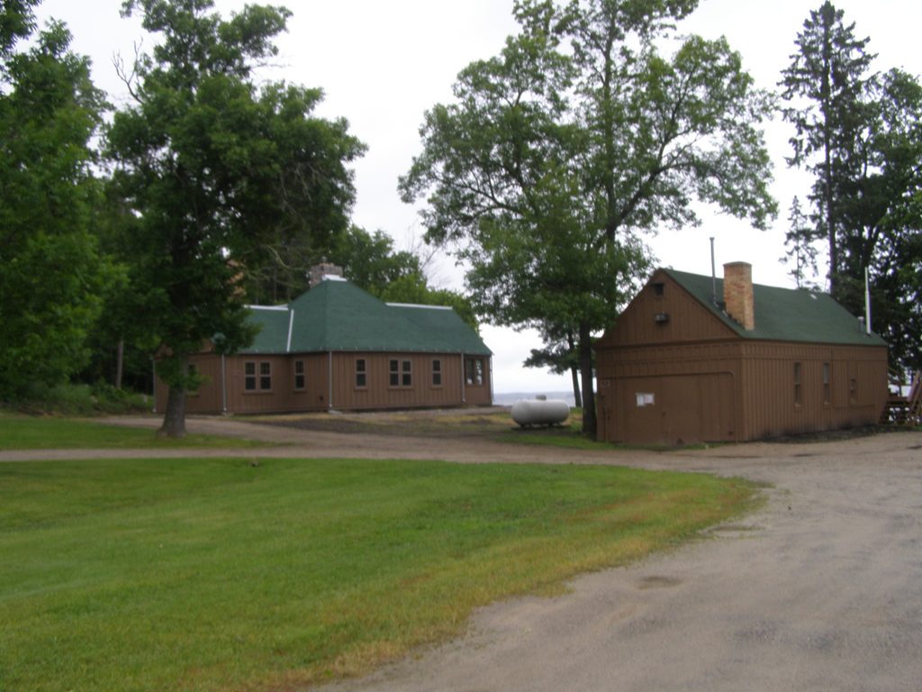
- A cluster of historic buildings and structures—think a 1930s ranger station/residence, a boathouse, and a 1920s patrol cabin—plus work-era features like a retaining wall and old road loop.
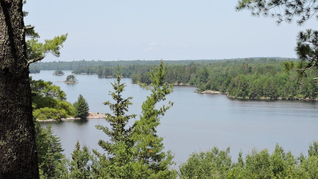
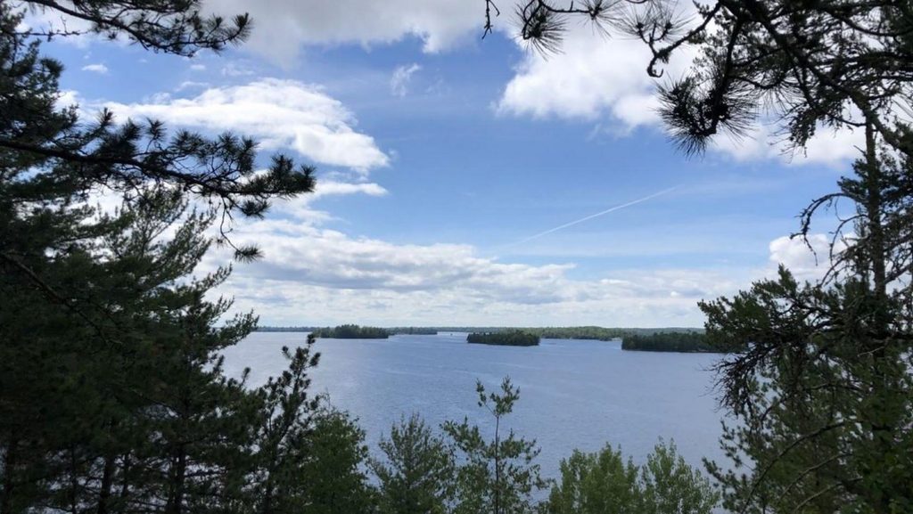
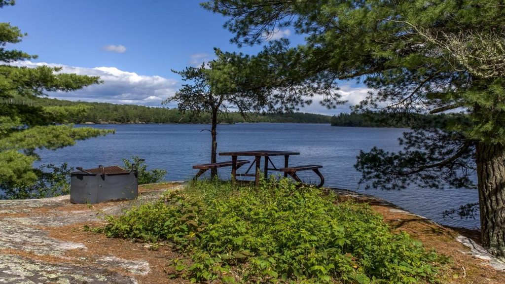
- Lake Kabetogama right below the site. Walk down to the rocky shore for breezy views, photos, and a classic park sign shot.
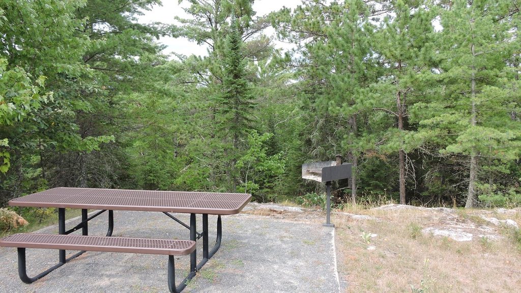
- Nearby day-use and launch areas used by paddlers and boaters, plus a simple picnic spot.
Why It’s Unique
Most stops in this region are about the water; this one layers in New Deal history. Much of the district was built by the Civilian Conservation Corps in the 1930s, showcasing that signature National Park Service rustic style while telling the story of how the area was managed long before today’s visitor facilities.
Wildlife
Keep an eye out for loons, eagles, and shoreline critters. Boat tours and paddles from this corner of the lake commonly spot bald eagles, the occasional black bear along shore, and playful otters.
Practicalities & Amenities
You’ll find restrooms, abundant parking that can still fill on busy boating days, a small gift shop, and a simple picnic area. There’s a large public boat ramp and a separate paddler launch nearby. Services are limited—plan to bring what you need.
Best Time to Visit
Midday (roughly 11am–2pm) is the busiest window, especially on weekends; aim for before 10am or after 3pm for an unhurried look around. The site typically keeps straightforward daytime hours; budget 30–60 minutes if you’re just exploring the district and shoreline views, longer if you’re launching a paddle or hopping on a boat tour.
A Bit of History
The district’s contributing buildings and structures date from the 1920s through the CCC boom years (1933–1941). It’s recognized for its architecture and as a snapshot of Depression-era conservation work and administration along Kabetogama Lake.
Where it is
48.4356, -92.8504Tips for Kabetogama Ranger Station District
- 01Arrive before 10am on weekends to beat the midday rush.
- 02Bring lunch and plenty of water—there’s no food service here.
- 03Walk the stairs down to the rocky shoreline for the best photo angles.
- 04If you’re trail-curious, the Sullivan Bay trailhead up the road makes a short, easy add-on.
- 05Launching? Use the big boat ramp early; trailer parking can fill fast on busy days.
Amenities
Near Kabetogama Ranger Station District
All places →All trails →
0 mi awayBlind Ash Bay TrailLake views and quiet boreal forest on a short, rocky lollipopModerate · 2.9 mi · 2 hr
0.1 mi awayAsh River Visitor CenterHistoric lakeside hub for quiet trails and wildlife intelTrailhead · Restroom
0.3 mi awayKabetogama Lake OverlookQuick roadside perch for big‑water views over island‑dotted KabetogamaPullout · Parking
0.3 mi awayBlind Ash Bay OverlookQuiet lakeside viewpoint off a scenic forest loopTrailhead · Parking
0.8 mi awaySullivan Bay TrailShort, quiet walk to a rocky overlook above island-dotted Sullivan Bay.Easy · 1.5 mi · 1 hr
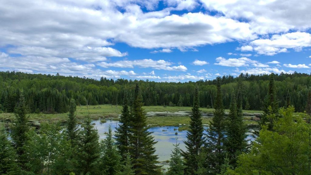
0.9 mi awayBeaver Pond Overlook TrailShort loop to a beaver pond overlook with interpretive signs.Easy · 0.4 mi · 36 min
2 mi awayVoyageurs Forest OverlookShort, quiet forest loop with a picnic spot and modest viewsTrailhead · Pullout
2.5 mi awayCruiser Lake TrailRemote, boat-in traverse across the Kabetogama PeninsulaChallenging · 18.6 mi · 10 hr