Pros & cons
PROS
- Genuinely informative interpretive signs that enrich the short walk
- High odds of seeing classic beaver engineering from an easy access point
CONS
- Uneven footing feels a bit punchy for such a short loop
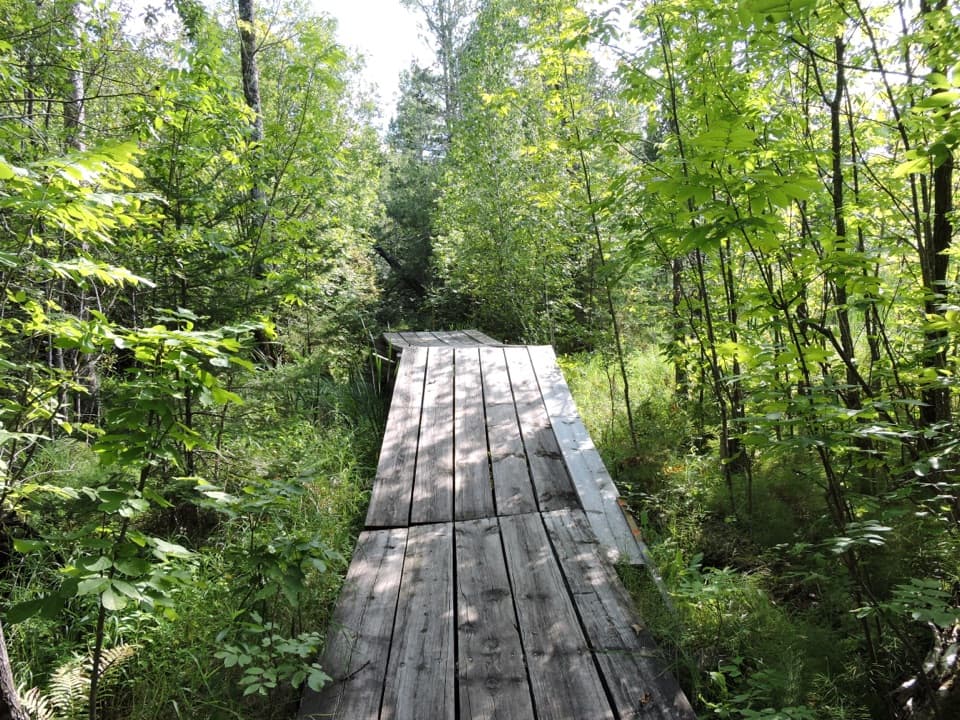
- Mosquito-heavy in warm months due to surrounding wetlands
Park at the Rainy Lake Visitor Center; the loop starts nearby.
Natural, uneven tread with roots and rocks; heavy mosquitoes in summer; winter travel may require traction or snowshoes—check conditions.
Overview
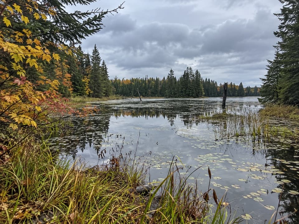
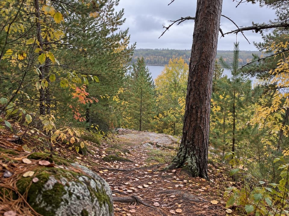
This is a short, rewarding 0.4-mile loop (total) that starts near the Rainy Lake Visitor Center and circles through classic North Woods terrain to an overlook of an active beaver pond. It’s a bite-sized hike with real payoff—scenery, wildlife potential, and on-trail interpretation that actually makes the landscape make sense.
What You’ll See
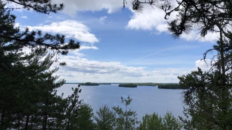
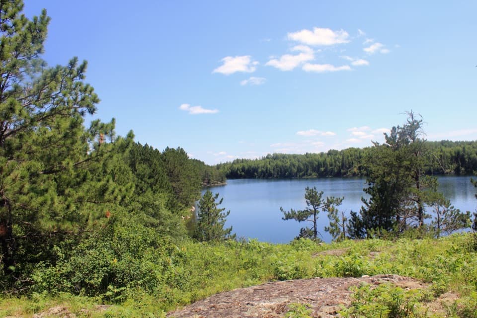
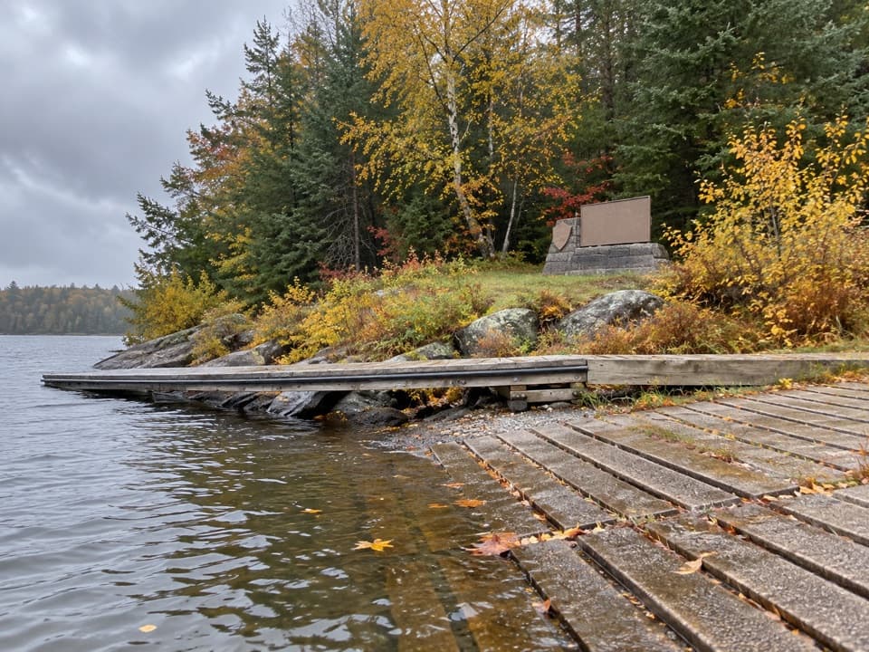
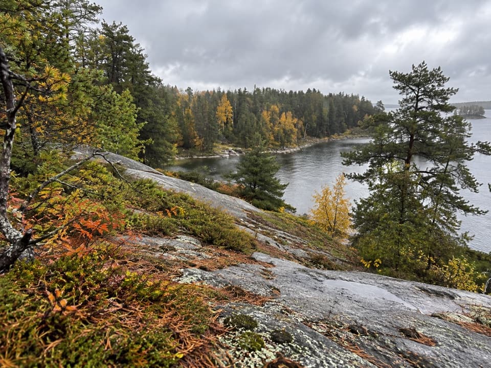
The highlight is the beaver-engineered wetland—keep an eye out for dams, lodges, and the way the flooded area reshapes the surrounding boreal forest. You’ll pass spruce, pine, and aspen and move between forest and wet edge, a great mix for spotting birds. Interpretive panels cover the beaver’s outsized ecological role and share natural history and Ojibwe cultural context.
Trail Conditions and Difficulty
Despite its size, this loop is rated moderate thanks to uneven, natural tread with roots and rocks and a few small ups and downs. It’s well maintained but not paved, and it’s not wheelchair accessible. Most hikers take 30–45 minutes, including time to linger at the overlook.
Best Time to Hike
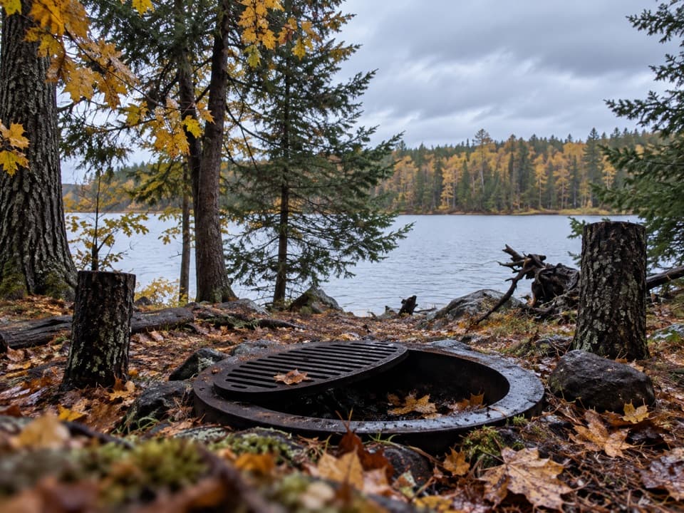
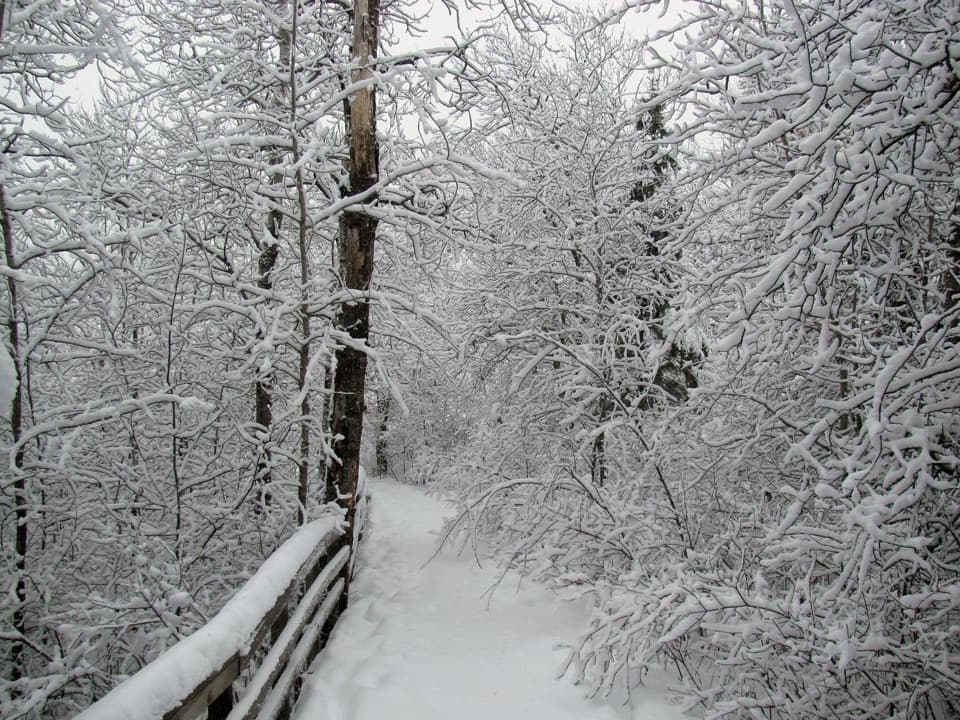
Spring and summer bring lush greenery and the highest beaver and bird activity (bring bug spray). Fall is quieter with colorful foliage and crisp air—great for photography across the pond. In winter, the route may be used for snowshoeing when conditions allow; check current access and plan for icy, frigid conditions.
Tips
- Footing can be slick when wet; wear sturdy shoes.
- Binoculars pay off at the overlook for birding and beaver watching.
- If you’ve got more time, this makes an easy add-on to other nearby walks and trailheads in the area for a fuller day outside.
Elevation
0.4 mi · 36 minWhere it starts
48.4227, -92.8460Wildlife on this trail
Near Beaver Pond Overlook Trail
All places →All trails →
0.2 mi awaySullivan Bay TrailShort, quiet walk to a rocky overlook above island-dotted Sullivan Bay.Easy · 1.5 mi · 1 hr
0.7 mi awayBlind Ash Bay OverlookQuiet lakeside viewpoint off a scenic forest loopTrailhead · Parking
0.7 mi awayKabetogama Lake OverlookQuick roadside perch for big‑water views over island‑dotted KabetogamaPullout · Parking
0.9 mi awayAsh River Visitor CenterHistoric lakeside hub for quiet trails and wildlife intelTrailhead · Restroom
0.9 mi awayKabetogama Ranger Station DistrictRustic CCC lakeshore ranger hub with history and easy water accessRanger Station · Restroom
0.9 mi awayBlind Ash Bay TrailLake views and quiet boreal forest on a short, rocky lollipopModerate · 2.9 mi · 2 hr
3.2 mi awayCruiser Lake TrailRemote, boat-in traverse across the Kabetogama PeninsulaChallenging · 18.6 mi · 10 hr
8 mi awayEllsworth Rock Gardens TrailSculpted granite terraces with lake views, best reached by boat.Easy · 0.3 mi · 1.5 hr