
Place · 0.5 mi away
Easy
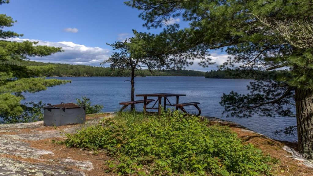
Sullivan Bay Trail is a short, easy out-and-back that delivers classic North Woods vibes without needing a boat. It’s about 1.5 miles total (round trip) with roughly 90 feet of gentle gain, making it approachable for most hikers and families. Expect a mellow walk that starts on an old forest road before narrowing to a footpath.
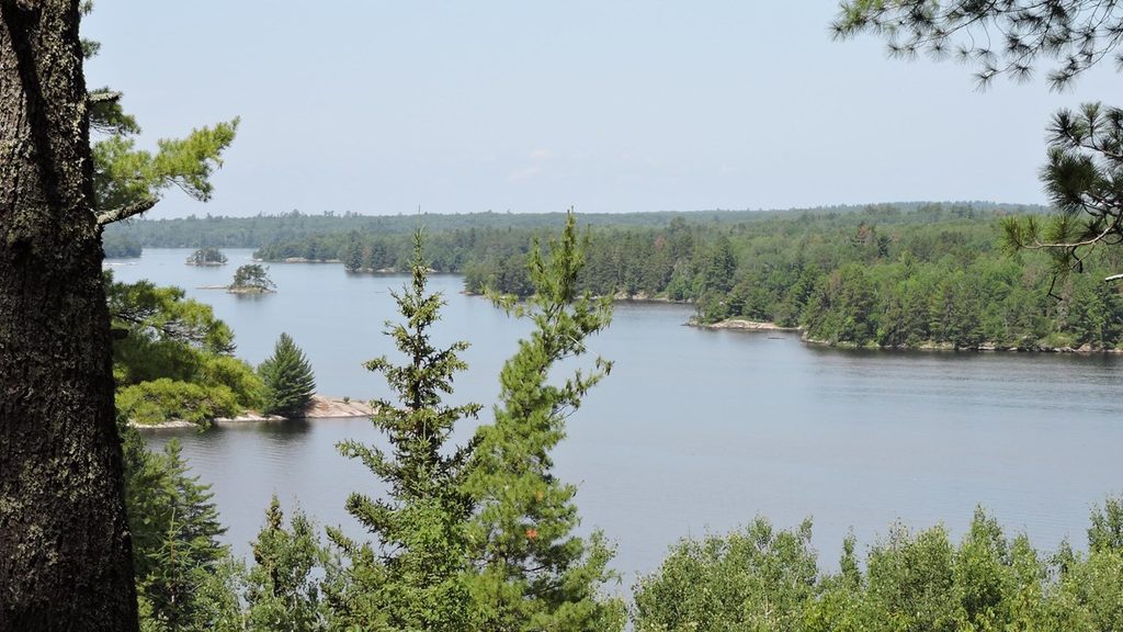
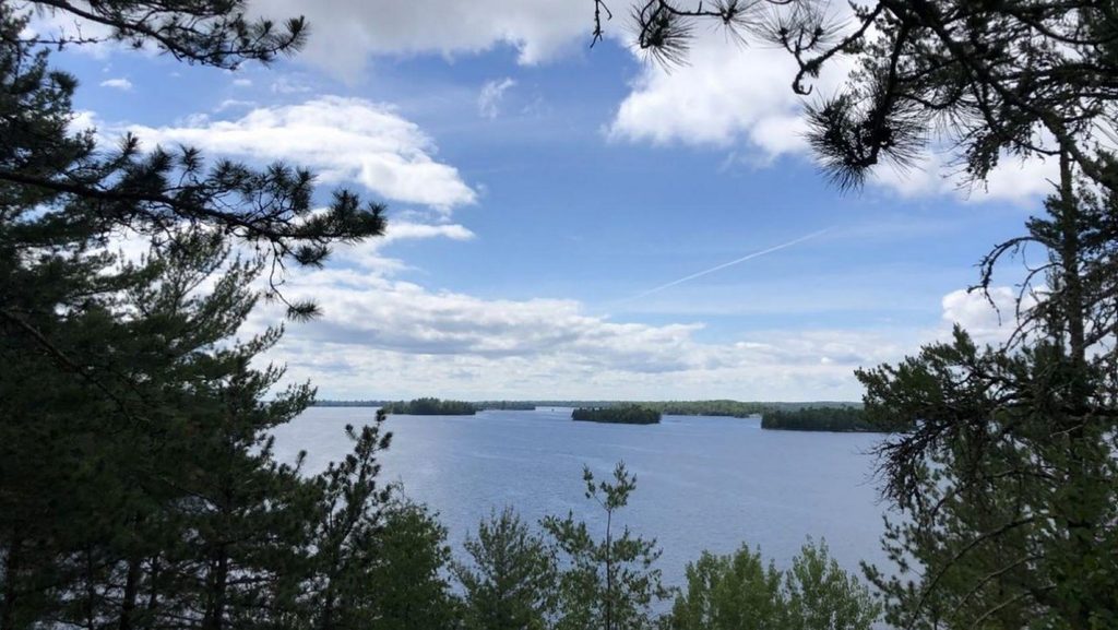
From the signed trailhead near the Ash River area, the path follows an old road through mixed conifer–deciduous forest—shaded, quiet, and usually uncrowded. As you near the end, the track narrows and climbs slightly to a rocky bluff overlooking Sullivan Bay. The payoff is a peaceful lakescape and a convenient picnic table and fire ring right at the viewpoint. The route is well marked and straightforward; navigation isn’t a headache.
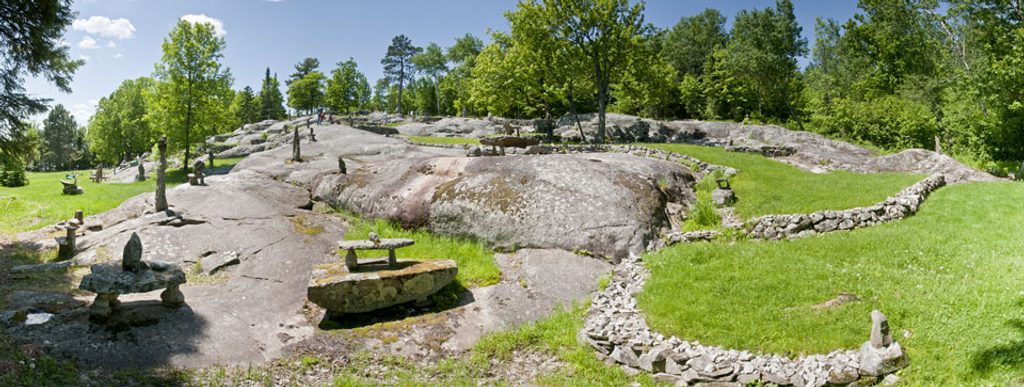
You’ll pass outcrops of ancient volcanic bedrock—over two billion years old—peeking through the forest floor. The finale is all about water: protected bay, rocky shoreline, and that serene, island-sprinkled look Voyageurs is known for. It’s not a big-mountain vista, but it’s a lovely, quiet scene that invites you to linger.
Spring through fall is prime. Summer is lush but buggy—mosquitoes can be intense—so bring strong repellent and long sleeves. In winter, this route doubles nicely as a snowshoe, conditions permitting. Crowds are generally light year-round compared to busier corners of the park.
Yes—if you want an easy, low-commitment walk to peaceful lake views and a geologic peek at ancient bedrock. If you’re craving challenge or big elevation, this will feel short and simple. For solitude, a picnic spot, or a winter snowshoe, it’s a solid, underrated choice.
Park at the Ash River Visitor Center area; the signed Sullivan Bay Trailhead is just off the Ash River Trail road. Free day-use parking shared with nearby Ash River trails.
Expect heavy mosquitoes in summer; carry strong repellent and cover up. Footing is mostly easy but becomes narrower and rockier near the overlook. Pets are not allowed.
Place · 0.5 mi away
Place · 0.5 mi away
Place · 0.7 mi away
Place · 0.8 mi away
Easy · 0.2 mi away
Moderate · 0.8 mi away
Challenging · 3 mi away
Easy · 7.9 mi away

Parkwolf Tour Guide
