Pros & cons
PROS
- Quick photo stop with a small pull-off
- Scenic arrival on Ash River Trail near the visitor center
CONS
- No services at the sign; amenities are at the nearby visitor center
- The classic brown NPS sign is behind the visitor center, not roadside
Overview
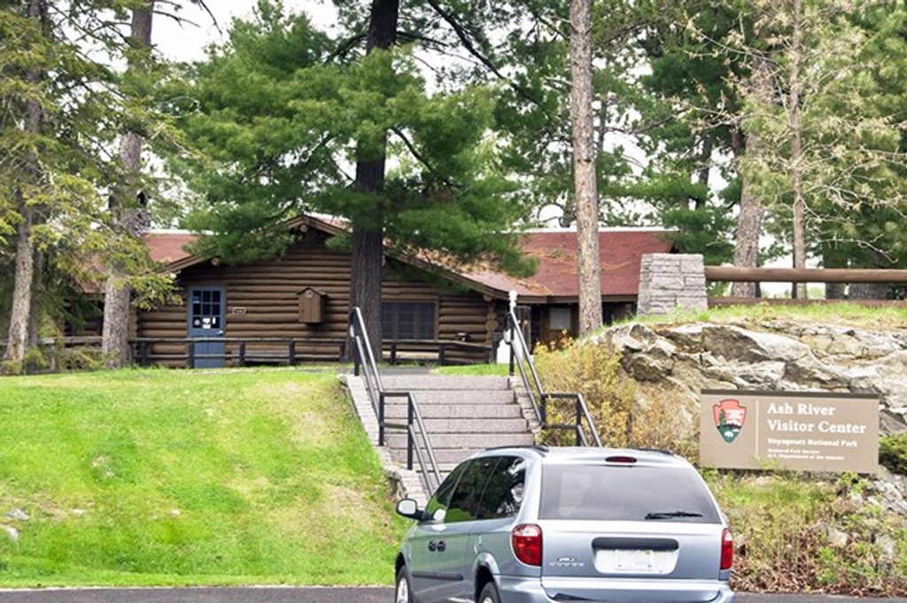
This simple roadside landmark marks the Ash River approach to the park along the scenic Ash River Trail (County Road 129) off Highway 53. It’s a quick, easy photo stop and a clear waypoint just before you reach the Ash River Visitor Center.
What You’ll Find
- A visible entrance sign with a small pull-off for a fast photo.
- If you’re hunting the classic brown National Park Service sign, it’s behind the visitor center down a short path toward the water rather than at the roadside.
Getting There
Follow Highway 53 and turn onto Ash River Trail (CR 129). The sign appears near the visitor center turnoff; the drive in is specifically noted as scenic.
Nearby Services
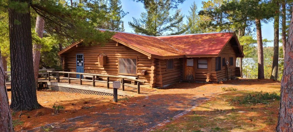
The Ash River Visitor Center sits just up the road and operates seasonally in summer. That’s where you’ll find staff help and facilities—not at the sign itself.
Best Time to Visit
For photos, early or late day gives softer light on the sign. It’s a quick stop any time you’re heading to or from the visitor center; in summer you can pair it with a visitor center stop when it’s open.
Where it is
48.4002, -92.8374Tips for Voyageurs National Park Entrance Sign - Ash River
- 01For the classic brown NPS sign, walk behind the visitor center toward the water.
- 02Use Highway 53 to Ash River Trail (CR 129); the sign is just before the visitor center.
- 03There’s only a small pull-off—have your camera ready and keep it quick.
Amenities
Near Voyageurs National Park Entrance Sign - Ash River
All places →All trails →
0.5 mi awayVoyageurs Forest OverlookShort, quiet forest loop with a picnic spot and modest viewsTrailhead · Pullout
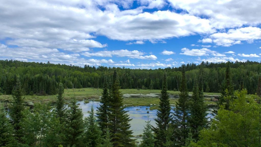
1.6 mi awayBeaver Pond Overlook TrailShort loop to a beaver pond overlook with interpretive signs.Easy · 0.4 mi · 36 min
1.8 mi awaySullivan Bay TrailShort, quiet walk to a rocky overlook above island-dotted Sullivan Bay.Easy · 1.5 mi · 1 hr
2.3 mi awayBlind Ash Bay OverlookQuiet lakeside viewpoint off a scenic forest loopTrailhead · Parking
2.3 mi awayKabetogama Lake OverlookQuick roadside perch for big‑water views over island‑dotted KabetogamaPullout · Parking
2.5 mi awayAsh River Visitor CenterHistoric lakeside hub for quiet trails and wildlife intelTrailhead · Restroom
2.5 mi awayBlind Ash Bay TrailLake views and quiet boreal forest on a short, rocky lollipopModerate · 2.9 mi · 2 hr
4.6 mi awayCruiser Lake TrailRemote, boat-in traverse across the Kabetogama PeninsulaChallenging · 18.6 mi · 10 hr