Pass Creek Day Use Area in Waterton Lakes National Park

Picnic area · Waterton Lakes National Park

Pass Creek Day Use Area

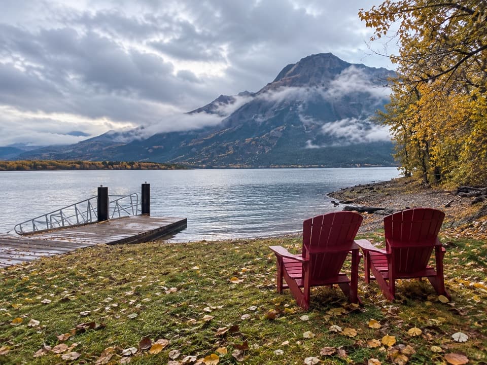
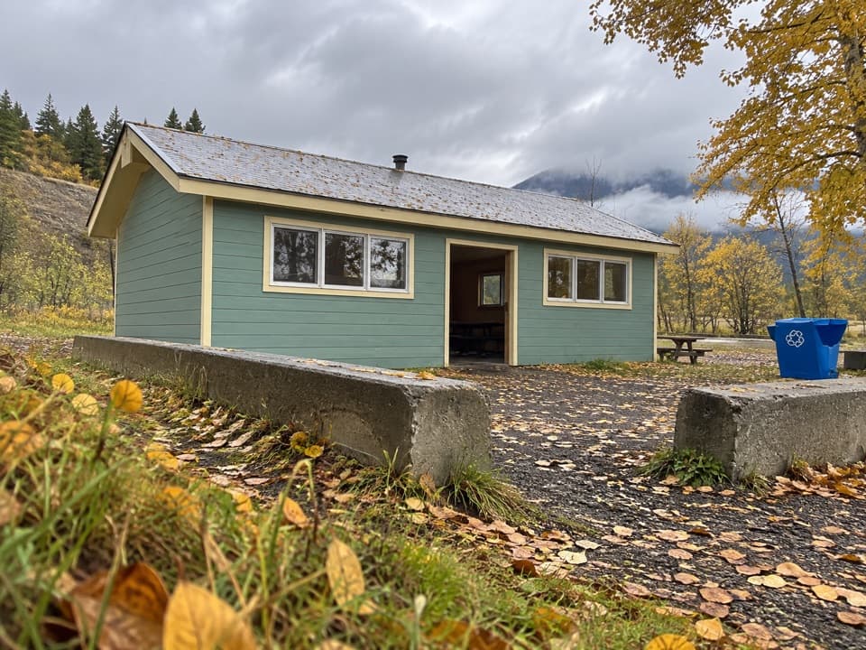
A creekside picnic with a shelter and six fire pits.

Type
Picnic area
Nearest trail
2.3 km
Audio stories
11 nearby
  • Parking
  • Restrooms
  • Picnic tables
  • Campground

Hear the audio tour

Pass Creek Day Use Area

Overview

About Pass Creek Day Use Area

Why stop

  • Creekside setting with a shelter, wood stove and fire pits.

Heads up

  • No potable tap is identified; bring drinking water.

Map

Where it is

Loading the Waterton Lakes map
Full map
Picnic areaPass Creek Day Use Area49.07810, -113.88181
Keep this map with you offline in the Parkwolf app

Plan your stop

Before you go

The facilities

Six picnic sites share eight tables and six fire pits; one shelter and camp kitchen has a wood-burning stove. There are dry toilets. Firewood isn't provided and fires are allowed only in designated pits. No potable tap is identified here, so bring drinking water. If you use creek water, it must be boiled and filtered.

7 active Waterton Lakes alerts

  • ClosureBelly River Campground closedBelly River Campground is closed to all traffic and travel because a carcass is in the area. - Violators may be charged under the Canada National Parks Act, with a maximum penalty of $25,000.Official details
  • ClosureBlakiston Fan closed to protect rutting elkThe Blakiston Fan area is closed to traffic and travel to prevent disturbance of elk rutting there.Official details
See all 7 alerts
A park ranger sits on a dash-mounted phone, talking, as Parkwolf’s Tour Guide plays “Army Cutworm Moths: A Grizzly Bear Buffet” on Grand Loop Road below Dunraven Pass in Yellowstone
Parkwolf Tour GuideThe highest, rockiest slopes around here are a summer buffet for grizzly bears.

Waterton Lakes Tour Guide

Your drive to Pass Creek Day Use Area, narrated.

Parkwolf is a GPS audio tour guide for Waterton Lakes National Park. As you drive, it chimes in with what’s ahead: hidden gems, upcoming stops, history, geology, and wildlife, right through your car’s speakers.

See the Waterton Lakes audio tour

Recorded for this place

Pass Creek Day Use Area
0:00 / 0:18
“Pass Creek Day Use Area is coming up beside Blakiston Creek, near the Red Rock Parkway junction. It’s a good place to unpack your own lunch, with picnic tables and a shelter containing a wood stove.”

Plays as you drive up to Pass Creek Day Use Area in the Parkwolf Waterton Lakes Tour Guide.

More stories near here in the app

  • Hay Barn Day Use Area
  • Waterton Lakes Golf Course
  • Alpine Stables
  • Driftwood Beach
  • 51 audio storiesacross Waterton Lakes’s roads, triggered by GPS as you drive
  • Wildlife heatmapsfor Bison, Black Bear, Elk, and 13 more
  • Works offlinemaps, 47 trails, 70 places, and audio download before you lose signal
  • CarPlay readysimple controls built for the drive
★★★★★
“Fantastic app with many points of information… It’s great to just turn on while you’re driving and it gives you an audio tour of the national Park. We love it!!!!”
JMJamesApp Store review
Download Parkwolf on the App StoreGet Parkwolf on Google Play

4.7 from 8,600+ ratings

Guide

More about Pass Creek Day Use Area

A sheltered creekside stopPass Creek is a compact picnic area beside Blakiston Creek, just off the park entrance road at…

Pass Creek is a compact picnic area beside Blakiston Creek, just off the park entrance road at the Red Rock Parkway junction, about 4 km from the park gate. It's an easy place to sit down for a meal or stretch the stop before driving farther into the park. The creek is close, with Mount Galwey visible in the distance.

Its winter roleFrom November 1 to April 30, weather permitting, Pass Creek is also a first-come, first-served…

From November 1 to April 30, weather permitting, Pass Creek is also a first-come, first-served winter campground for tents and RVs. Heavy snow can make day-use areas inaccessible, so check access conditions before setting out.

Wildlife

Wildlife in Waterton Lakes

All Waterton Lakes wildlife maps

Sighting maps show where each species has been reported across Waterton Lakes. Wildlife moves, so no sighting is guaranteed.

Keep exploring

Near Pass Creek Day Use Area

See it all on the map

Trails nearby

More stops nearby

Parkwolf’s Waterton Lakes ranking

Top sights in Waterton Lakes

All 70 places
  1. 1Prince of Wales Hotel National Historic SiteSight
  2. 2Red Rock CanyonSight
  3. 3Cameron FallsSight
  4. 4Cameron LakeSight
  5. 5Bear’s HumpSight
  6. 6Bison PaddockSight

Take Parkwolf to Waterton Lakes.

The audio tour guide for the drive, plus offline maps, trails, and wildlife heatmaps for when the signal drops.

4.7 from 8,600+ ratings

Download Parkwolf on the App StoreGet Parkwolf on Google Play