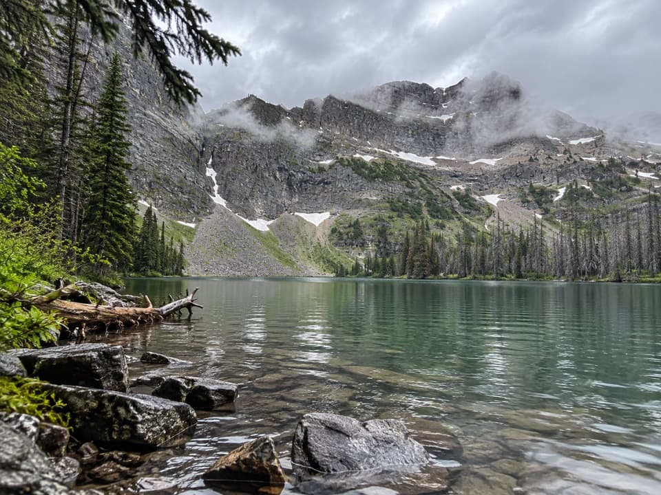
Parking
Bear’s Hump Trailhead sits off Entrance Road, across from the Prince of Wales Hotel access road. From the townsite, look for it at the crest of the hill on the left. The small adjacent lot can fill at busy times.

#3 of 47 trails in Waterton Lakes
Waterton Lakes National Park, AB
The short, steep climb to Waterton’s broad town-and-lake panorama.
Overview
Map & elevation
Plan your hike

The highest, rockiest slopes around here are a summer buffet for grizzly bears.
Waterton Lakes Tour Guide
Parkwolf is a GPS audio tour guide for Waterton Lakes National Park. As you drive, it chimes in with what’s ahead: hidden gems, upcoming stops, history, geology, and wildlife, right through your car’s speakers.
See the Waterton Lakes audio tourRecorded for this trailhead
Bear’s Hump“You’re nearing the Bear’s Hump trailhead, where a short, steep climb leads to a bluff above town. I’d choose it for the view across the lakes toward Glacier, with open prairie in the other direction.”
Plays as you drive up to this trailhead in the Parkwolf Waterton Lakes Tour Guide.
More stories near here in the app
“Fantastic app with many points of information… It’s great to just turn on while you’re driving and it gives you an audio tour of the national Park. We love it!!!!”


Trail guide
Bear’s Hump Trail is a short, steep out-and-back from Entrance Road to a rocky bluff on Mount Crandell, climbed for a broad view over Waterton town and the lakes. The listed route is 2.8 km (1.8 mi) round trip with 225 m (738 ft) of climbing; the usual estimate is about an hour. Published figures and recorded GPS traces differ on the uphill distance, so treat the mileage as approximate. Follow the signed path to the bluff and return the same way; this is the viewpoint walk, not an extension to Mount Crandell’s summit. It’s a compact outing, but the climb is the point: pick it if a sustained uphill effort feels worth a big view over town, water and mountains.
The first section is a rocky path with a less abrupt grade. It soon steepens into switchbacks and rock or stone steps, so a short mileage total shouldn’t be mistaken for an easy stroll. The main work is continuous uphill; several benches and natural places to pause make it easier to break into manageable pieces. Take those rests before you’re spent, and leave time for the descent: loose or uneven footing and taller steps can slow the way down. A pole can be useful if you like extra balance on steep steps, but the trail doesn’t require technical scrambling.
The trail ends at an exposed perch on Mount Crandell. Waterton’s townsite and lakes lie below, with mountain walls filling the valley; Glacier National Park is to the south and prairie ranchland opens to the northeast. The view changes as you turn around rather than giving you one single postcard angle. For a photo, keep the pale rock edge in the foreground with some town or lake below it; that shows how high the lookout sits above the valley. The top can be windy, so don’t expect a sheltered picnic spot.
Before the trail was built, people knew this bare bump as “the Pimple.” The old nickname belongs to the viewpoint; the route ends at its bluff rather than continuing over Mount Crandell’s summit.
The 2017 Kenow Fire left visible scars on this slope. Hikers continue to describe burned trunks among patches of returning greenery, a reminder that the forest is recovering around a popular, frequently walked route. The climb is mostly about the exposed rock and the valley view, but look down the hill to notice how open and regrowing areas sit beside one another.
Bighorn sheep and mountain goats are reported occasionally near the trail, and small ground squirrels or chipmunks are sometimes seen at the top. They’re a bonus, not a dependable part of the walk. The surrounding rock and trees make the route feel more like a mountain climb than a paved viewpoint path, even though it starts right by town.
The trailhead is across the road from the Prince of Wales Hotel access road; coming from the townsite, it’s at the crest of the hill on the left. The adjacent lot is small and can fill at busy times, so leave some flexibility in your arrival. Dogs may use the trail if kept leashed and under control. Walk up to the bluff, then follow the same switchbacks back down.
Wildlife
 83 sightingsBisonMost seen around 7 PMSighting map
 563 sightingsBlack BearMost seen around 6 PMSighting map
 146 sightingsElkMost seen around 7 PMSighting map
 113 sightingsBighorn SheepMost seen around 7 PMSighting map
 55 sightingsBald EagleMost seen around 9 AMSighting map
 53 sightingsTrumpeter SwanMost seen around 6 PMSighting map
Sighting maps show where each species has been reported across Waterton Lakes. Wildlife moves, so no sighting is guaranteed.
Keep exploring
 EasyLinnet Lake Loop1 km · 20 min · 0.4 km awayA paved 20-minute loop with lakeside views and interpretive stops.
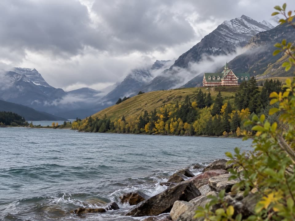 EasyPrince of Wales Loop2 km · 45 min · 0.5 km awayA short circuit below the historic hotel, with two lakes in view.
 ModerateCrandell Lake-Townsite Trail12.4 km · 4 hr · 0.8 km awayA steady climb from town through renewing forest to a lake.
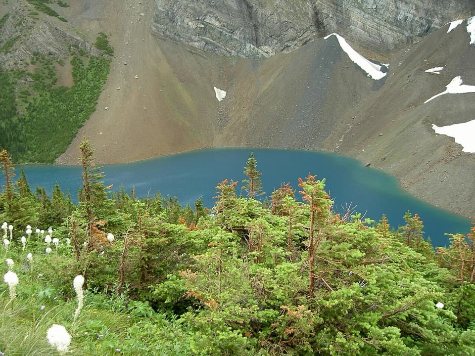 ChallengingAlderson Lake Trail14 km · 5.5 hr · 1.2 km awayA forest climb ends at a blue lake beneath Mount Alderson's cliffs.
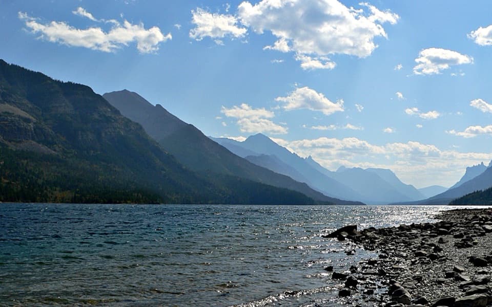 EasyTownsite Loop3.2 km · 1 hr · 1.2 km awayA gentle paved loop links Cameron Falls, the village, and lakeshore.
 ModerateBertha Lake Trail10.3 km · 4.5 hr · 1.7 km awayA waterfall warm-up before the climb to Bertha Lake.
 ModerateLower Bertha Falls Trail5.1 km · 1.5 hr · 1.7 km awayA short waterfall hike with a big view of Waterton Lake.
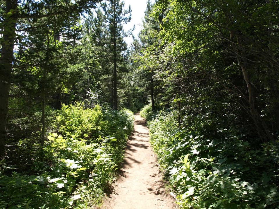 ModerateLakeshore Trail13.5 km · 4 hr · 1.7 km awayOne way lakeshore hike from Waterton to Goat Haunt, crossing into Glacier.
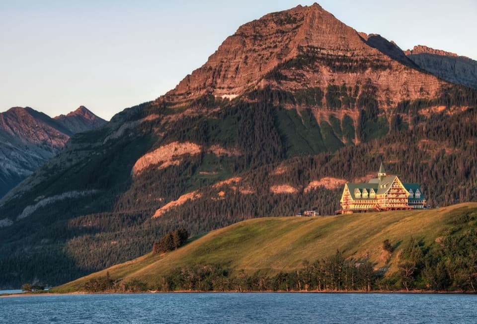 Sight · 0.4 km awayPrince of Wales Hotel National Historic SiteA 1927 railway hotel set high above the lake and town.Picnic area · 0.4 km awayLinnet Lake Day Use AreaA quiet picnic stop beside an easy, paved lake loop.
 Picnic area · 0.4 km awayEmerald BayA picnic by the marina, with a cool dip or paddle nearby.
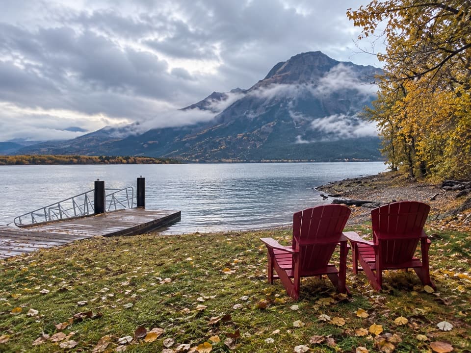 Sight · 0.5 km awayMiddle Waterton Lake Boat LaunchThe red chairs look straight across the water to Vimy Peak.
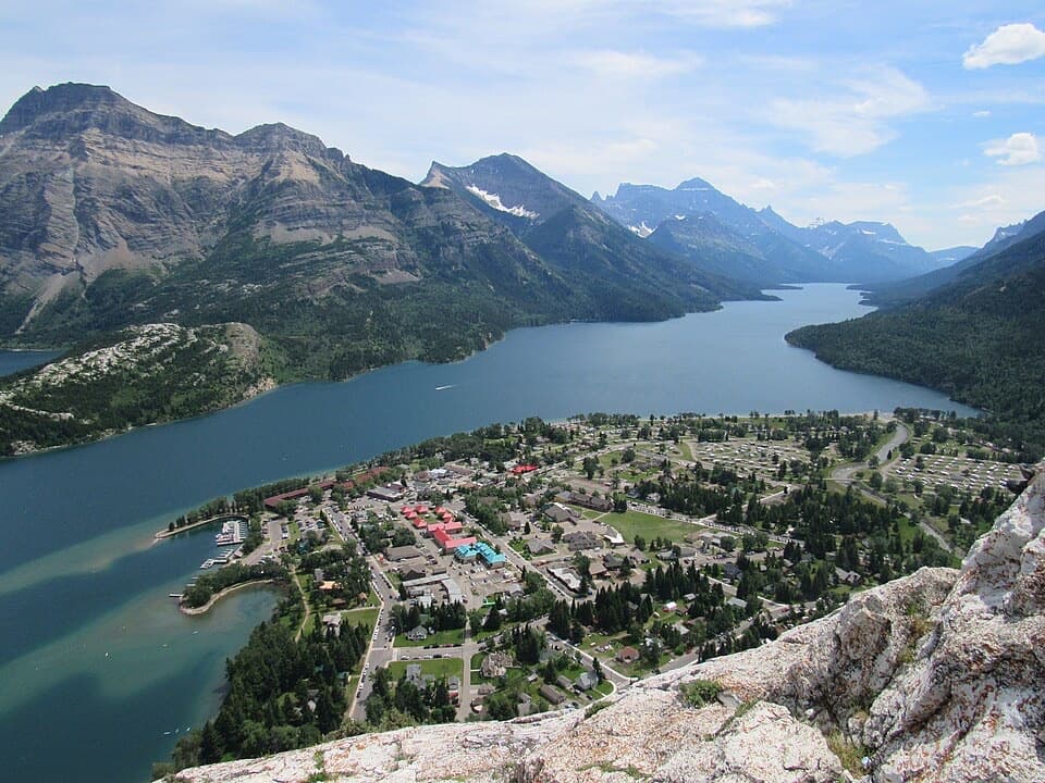 Sight · 0.6 km awayBear’s HumpA steep climb opens a view from the lakes to the prairie.
 Lodging · 0.6 km awayKilmorey LodgeA lake-view room or a patio dinner gives this stay its edge.
 Lodging · 0.7 km awayCrandell Mountain LodgeA 1940 lodge in Waterton with family rooms and suites.
 Lodging · 0.8 km awayBear Mountain MotelA walkable, old-school base across the road from Waterton Lake.
Parkwolf’s Waterton Lakes ranking

The audio tour guide for the drive, plus offline maps, trails, and wildlife heatmaps for when the signal drops.