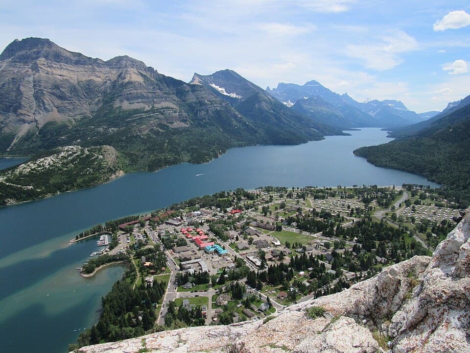
Emerald Bay in Waterton Lakes National Park

Picnic area · Waterton Lakes National Park

Emerald Bay

A picnic by the marina, with a cool dip or paddle nearby.

Photo: Wikimedia Commons
Type
Picnic area
Nearest trail
0.2 km
Audio stories
18 nearby
  • Picnic tables
  • Restrooms
  • Parking

Hear the audio tour

Emerald Bay and Kilmorey Lodge

Overview

About Emerald Bay

Why stop

  • A shore picnic and water access beside the townsite marina.

Heads up

  • Popular and often crowded; the water is very cold and can roughen in wind.

Map

Where it is

Loading the Waterton Lakes map
Full map
Picnic areaEmerald Bay49.05694, -113.90866
Keep this map with you offline in the Parkwolf app

Plan your stop

Before you go

Picnic facilities

There is one shelter with a stove and 16 picnic tables, three of them wheelchair accessible, plus flush toilets and three water taps. The taps are not identified as potable; most day-use water sources require boiling, and confirmed potable water is available at the village fire hall. Cafés and restaurants are in town rather than at the bay. Site-specific parking capacity is not posted.

7 active Waterton Lakes alerts

  • ClosureBelly River Campground closedBelly River Campground is closed to all traffic and travel because a carcass is in the area. - Violators may be charged under the Canada National Parks Act, with a maximum penalty of $25,000.Official details
  • ClosureBlakiston Fan closed to protect rutting elkThe Blakiston Fan area is closed to traffic and travel to prevent disturbance of elk rutting there.Official details
See all 7 alerts
A park ranger sits on a dash-mounted phone, talking, as Parkwolf’s Tour Guide plays “Army Cutworm Moths: A Grizzly Bear Buffet” on Grand Loop Road below Dunraven Pass in Yellowstone
Parkwolf Tour GuideThe highest, rockiest slopes around here are a summer buffet for grizzly bears.

Waterton Lakes Tour Guide

Your drive to Emerald Bay, narrated.

Parkwolf is a GPS audio tour guide for Waterton Lakes National Park. As you drive, it chimes in with what’s ahead: hidden gems, upcoming stops, history, geology, and wildlife, right through your car’s speakers.

See the Waterton Lakes audio tour

Recorded for this place

Emerald Bay and Kilmorey Lodge
0:00 / 0:32
“Emerald Bay is ahead, an easy place for a shoreline picnic beside the marina. There’s a shelter and picnic tables, but expect company; this is a popular townside stop.”

Plays as you drive up to Emerald Bay in the Parkwolf Waterton Lakes Tour Guide.

More stories near here in the app

  • Prince of Wales Hotel
  • Pat’s Waterton and Mount View Road Shops
  • Bear’s Hump
  • Waterton Marina and Peace Park Plaza
  • 51 audio storiesacross Waterton Lakes’s roads, triggered by GPS as you drive
  • Wildlife heatmapsfor Bison, Black Bear, Elk, and 13 more
  • Works offlinemaps, 47 trails, 70 places, and audio download before you lose signal
  • CarPlay readysimple controls built for the drive
★★★★★
“Fantastic app with many points of information… It’s great to just turn on while you’re driving and it gives you an audio tour of the national Park. We love it!!!!”
JMJamesApp Store review
Download Parkwolf on the App StoreGet Parkwolf on Google Play

4.7 from 8,600+ ratings

Guide

More about Emerald Bay

A picnic and paddle by the townEmerald Bay is a small inlet on Upper Waterton Lake, with a Parks Canada day-use picnic area on…

Emerald Bay is a small inlet on Upper Waterton Lake, with a Parks Canada day-use picnic area on its north shore beside the Waterton townsite marina. It’s an easy walk from downtown and a good stop for a shoreline meal, a paddle or a cool swim. The area is popular and often crowded, so expect company rather than a secluded lakeshore.

Cold water, changeable weatherThe bay’s sheltered shallows suit a quick dip or paddle, but Waterton’s lake water is very cold.

The bay’s sheltered shallows suit a quick dip or paddle, but Waterton’s lake water is very cold. Winds can rise, make the water rough and change conditions quickly, so choose a calm spell and check current watercraft requirements before launching.

The view from shoreEmerald Bay takes its name from the lake’s turquoise colour.

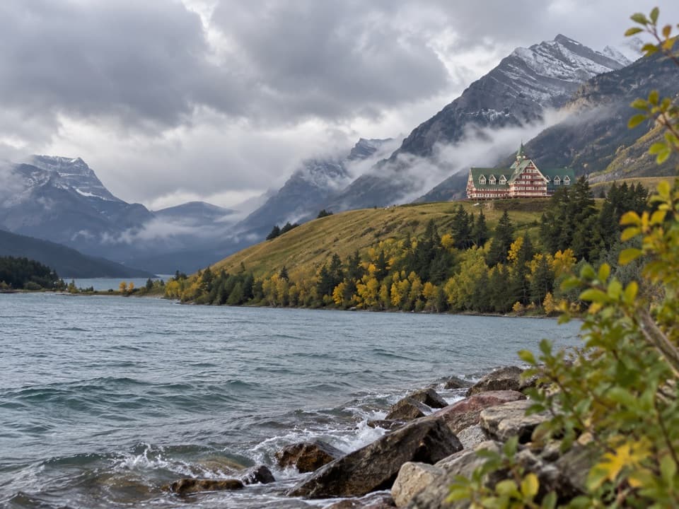
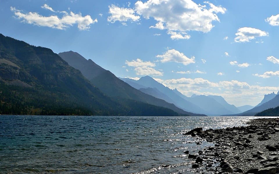
Emerald Bay takes its name from the lake’s turquoise colour. From the shoreline, look across the curved bay toward the marina and town, with steep forested slopes behind them; that broad water-and-town view is the clearest photo of where you are.

The Gertrude below the surfaceThe bay was once called Steamboat Bay for the Gertrude, a workboat launched in 1907 to haul…

The bay was once called Steamboat Bay for the Gertrude, a workboat launched in 1907 to haul logs from the far end of Upper Waterton Lake to mills at Waterton Mills. It later carried passengers and operated as a tea house before being deliberately sunk here in 1918 or 1919. The wreck now rests about 20 metres underwater: it is a diving destination, not something visible from the picnic shore.

Wildlife

Wildlife in Waterton Lakes

All Waterton Lakes wildlife maps

Sighting maps show where each species has been reported across Waterton Lakes. Wildlife moves, so no sighting is guaranteed.

Keep exploring

Near Emerald Bay

See it all on the map

Trails nearby

More stops nearby

Parkwolf’s Waterton Lakes ranking

Top sights in Waterton Lakes

All 70 places
  1. 1Prince of Wales Hotel National Historic SiteSight
  2. 2Red Rock CanyonSight
  3. 3Cameron FallsSight
  4. 4Cameron LakeSight
  5. 5Bear’s HumpSight
  6. 6Bison PaddockSight

Take Parkwolf to Waterton Lakes.

The audio tour guide for the drive, plus offline maps, trails, and wildlife heatmaps for when the signal drops.

4.7 from 8,600+ ratings

Download Parkwolf on the App StoreGet Parkwolf on Google Play