Parking
Use the visitor parking area at ʻĪao Valley State Monument. The trail starts just beyond the restroom and interpretive signs. Out-of-state visitors need advance entry and parking reservations.

#8 of 28 trails in West Maui Scenic Drive
West Maui Scenic Drive, HI
A quick climb reaches the valley’s signature green spire.
Overview
Map & elevation
Plan your hike

The highest, rockiest slopes around here are a summer buffet for grizzly bears.
West Maui Scenic Drive Tour Guide
Parkwolf is a GPS audio tour guide for West Maui Scenic Drive. As you drive, it chimes in with what’s ahead: hidden gems, upcoming stops, history, geology, and wildlife, right through your car’s speakers.
See the West Maui Scenic Drive audio tourRecorded for this trailhead
ʻĪao Valley: Needle and History“You’re approaching the ʻĪao Valley area, with the state monument farther up ʻĪao Valley Road. If you live outside Hawaiʻi, you need advance reservations for entry and parking before driving up.”
Plays as you drive up to this trailhead in the Parkwolf West Maui Scenic Drive Tour Guide.
More stories near here in the app
“Fantastic app with many points of information… It’s great to just turn on while you’re driving and it gives you an audio tour of the national Park. We love it!!!!”


Trail guide
ʻIao Needle Lookout Trail is a paved out-and-back from the visitor area at ʻĪao Valley State Monument. The mapped lookout branch is about 0.3 mile round trip from the restrooms, across a bridge over ʻĪao Stream and up to a small shelter. Allow about 30 minutes. Choose it for the valley’s signature landmark without signing up for a long hike; if you want a sustained trail day, this is a short stop rather than the main event.
The state’s 0.6-mile figure appears on a page that covers both the lookout path and the separate Ethnobotanical Loop by the stream. This entry follows the lookout branch alone. Walk the garden loop too if you want the longer paved visit, but don’t count it as part of the Needle climb.
The route starts just beyond the park restroom and interpretive signs. It follows a paved path to a bridge across the stream, then climbs toward the lookout. The first part is an easy walk; the stairway near the end is where you’ll feel the climb. A visitor guide counts 133 steps. There’s no need to rush the stairs, and the small shelter at the top gives you a place to pause before heading back the same way.
Kukaʻemoku, better known as the ʻIao Needle, is the steep green pinnacle in front of the lookout. The state describes it as an erosional feature that rises about 1,200 feet above the valley floor. You reach a viewpoint of the spire, not a route up it. For a photo, keep some of the valley wall or foreground foliage in frame; the extra context makes the pinnacle’s height easier to read.
ʻĪao Valley is culturally and spiritually important to Hawaiians. It was also the site of the 1790 Battle of Kepaniwai, where Kamehameha I’s forces defeated Maui’s army. The nearby garden loop is a separate short walk; it focuses on plants brought by Hawaiians who settled in the valley. Keep it distinct from this trail’s bridge-and-stair route, and add it only if you want more time in the monument.
Out-of-state visitors need advance reservations for entry and parking. The restrooms are at the start, but the monument provides no drinking water, so bring your own. Dogs aren’t allowed on this trail. The route ends in stairs, so it isn’t a step-free walk.
Wildlife
 152 sightingsHumpback WhaleMost seen around 9 AMSighting map
 71 sightingsHawaiian Monk SealMost seen around 11 AMSighting map
 23 sightingsSpinner DolphinMost seen around 7 AMSighting map
 401 sightingsGreen Sea TurtleMost seen around 5 PMSighting map
 14 sightingsHawksbill Sea TurtleMost seen around 10 AMSighting map
 92 sightingsWedge-tailed ShearwaterMost seen around 6 PMSighting map
Sighting maps show where each species has been reported across West Maui Scenic Drive. Wildlife moves, so no sighting is guaranteed.
Keep exploring
 EasyʻIao Ethnobotanical Loop0.1 mi · 10 min · 0.1 mi awayA short paved circuit through a streamside ethnobotanical garden.
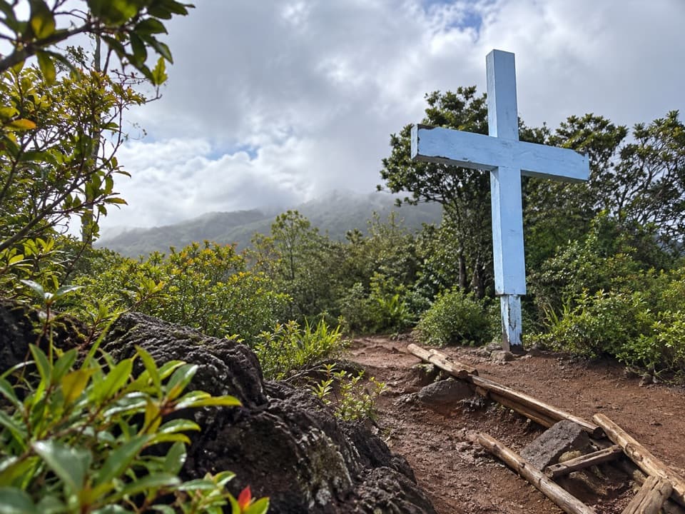 ChallengingWailuku Heights Cross Trail1 mi · 1.5 hr · 2 mi awayA steep climb to the cross above Wailuku.
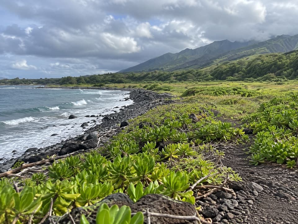 EasyWaiheʻe Coastal Dunes and Wetlands Refuge Trail2.6 mi · 1.8 hr · 4.5 mi awayA level coast walk to wetlands, old heiau, and river mouth
 ChallengingWaiheʻe Ridge Trail4.3 mi · 3 hr · 5.1 mi awaySteep ridge climb with deep gorge views and a cloud-prone summit.
 ModerateMakamakaʻole Falls Trail (13 Crossings)2 mi · 2 hr · 5.4 mi awayA waterfall hike with bamboo, creek crossings, and two falls.
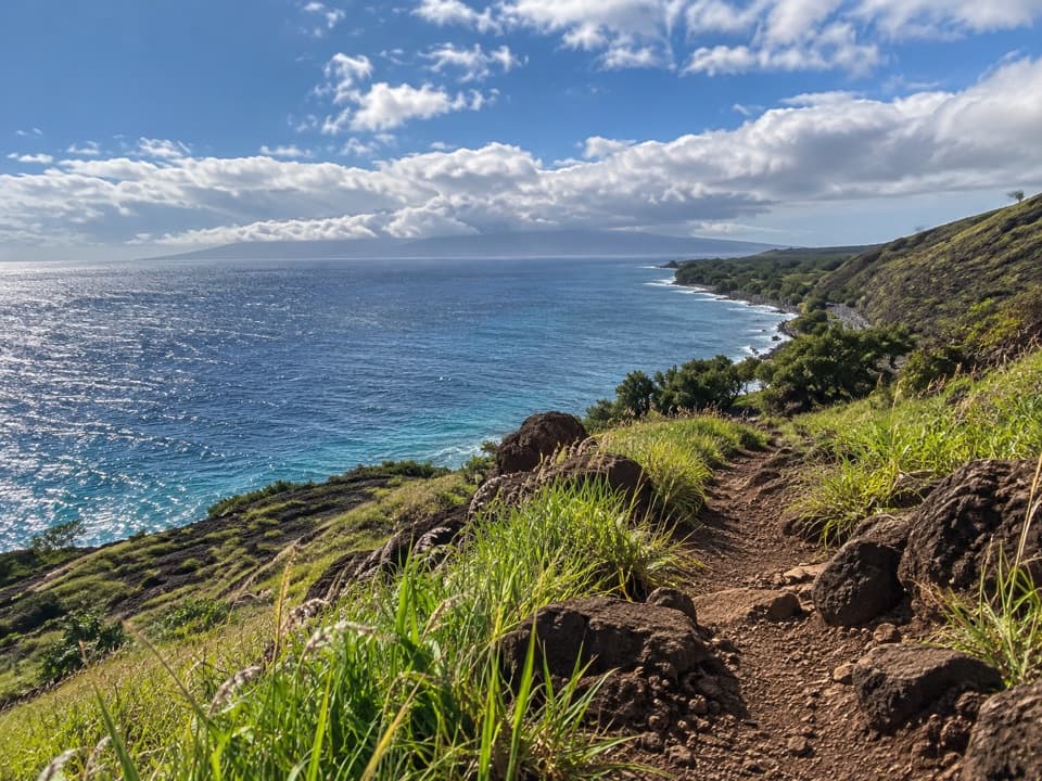 ChallengingLāhainā Pali Trail4.8 mi · 4 hr · 5.5 mi awayA tough, rocky ridge crossing with wide ocean and island views.
 ChallengingEast Lāhainā Pali Trail3.8 mi · 3.5 hr · 5.5 mi awayA sunbaked climb to wind turbines above Māʻalaea.
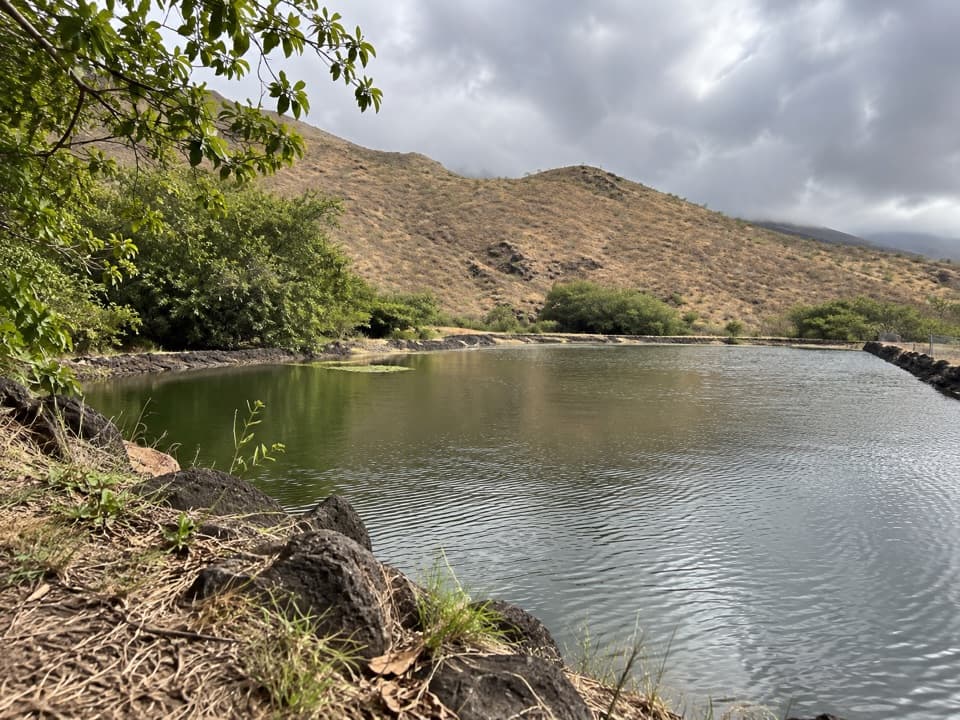 ModerateLauniupoko Valley Trail3.2 mi · 2 hr · 6.1 mi awayA reservoir and old stone walls lead into a steep valley.
 Sight · 0.1 mi awayʻĪao Valley State MonumentA short walk to a 1,200-foot green ridge in a sacred valley.
 Sight · 0.7 mi awayKepaniwai Heritage GardensSeven heritage gardens under the green walls of ʻĪao Valley.
 Sight · 2.5 mi awayHale Hōʻikeʻike at the Bailey HouseAn 1833 mission house offers a layered look at Maui’s past.
 Sight · 3.3 mi awayMaui Tropical PlantationA tram loops the lagoon with a live demonstration of coconut husking.
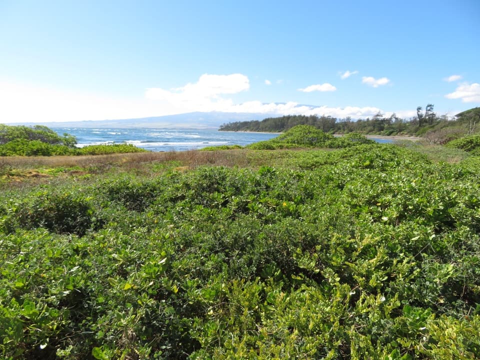 Sight · 4.5 mi awayWaiheʻe Coastal Dunes and Wetlands RefugeA coastal walk among endangered birds and ancient village remains.
 Picnic area · 6.3 mi awayPāpalaua Wayside ParkA shady beach picnic, with the highway just behind your towel.
 Sight · 6.4 mi awayOlowalu PetroglyphsAncient rock art rewards a slow scan from below.
 Beach · 6.4 mi awayMāʻalaea Haycraft Beach ParkA simple shore walk with winter humpbacks sometimes offshore.
Parkwolf’s West Maui Scenic Drive ranking

The audio tour guide for the drive, plus offline maps, trails, and wildlife heatmaps for when the signal drops.


