Parking
Park at D.T. Fleming Beach Park, then follow the access road toward the small green preschool beside the Mahana Ridge entrance. Restrooms are at the beach park.

#5 of 28 trails in West Maui Scenic Drive
West Maui Scenic Drive, HI
A reservoir turnaround makes this rough ridge climb manageable.
Overview
Map & elevation
Plan your hike

The highest, rockiest slopes around here are a summer buffet for grizzly bears.
West Maui Scenic Drive Tour Guide
Parkwolf is a GPS audio tour guide for West Maui Scenic Drive. As you drive, it chimes in with what’s ahead: hidden gems, upcoming stops, history, geology, and wildlife, right through your car’s speakers.
See the West Maui Scenic Drive audio tourRecorded for this trailhead
D.T. Fleming: Beach, Burgers and Ridge Walk“You’re coming up on D.T. Fleming Beach Park, a long sandy shore backed by ironwood trees. I’d choose it for a beach walk or a break in the shade.”
Plays as you drive up to this trailhead in the Parkwolf West Maui Scenic Drive Tour Guide.
More stories near here in the app
“Fantastic app with many points of information… It’s great to just turn on while you’re driving and it gives you an audio tour of the national Park. We love it!!!!”


Trail guide
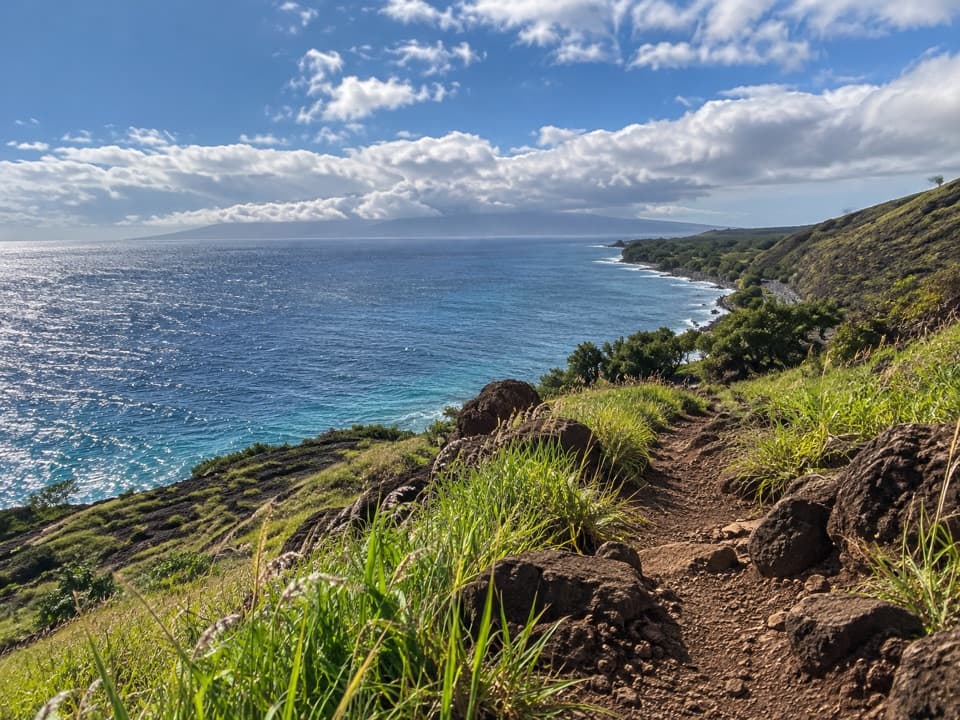
Mahana Ridge Trail climbs inland from D.T. Fleming Beach through old resort and ranch land toward the forested slopes above Kapalua. This entry covers a four-mile out-and-back to the reservoir, with about 750 feet of climbing and roughly two to three hours on foot. It is a moderate half-day hike if you are comfortable on a narrow, sometimes overgrown trail and one steep stepped climb. The coast is close at the start, then the route rises through a gulch and into greener, quieter country. The reservoir gives you a clear place to turn around without committing to the unsettled upper route.
Park at D.T. Fleming Beach Park, then walk back along the access road toward the small green preschool near the trail entrance. The route starts as a narrow dirt track through tall kiawe and grass, passes beneath Honoapiʻilani Highway, and climbs beside golf-course support buildings. At about 0.8 mile, it reaches a paved access road. Follow it left for roughly 150 yards and look for the trail continuing on the right. This short link is easy to miss, so pay attention where the footpath meets pavement.
The trail drops into a gulch, then climbs steeply up the other side on stone steps set into the slope. This is the hardest part of the reservoir outing: it is short, but the grade is abrupt and the steps can be uneven. Near the top, a small break in the trees opens toward Molokaʻi. For a photo, keep a little of the ridge vegetation or trail in the foreground so the island has a sense of distance. After the climb, the path eases into a quieter stretch beneath a mix of trees.
The reservoir is about two miles from the beach entrance and makes the practical turnaround for this route. Stop here, then retrace your steps for a four-mile round trip. The full named ridge continues beyond the water toward Maunalei Arboretum, but published distances to the upper end vary widely, and visitors have reported a locked gate. There is no shuttle back down. Treat the reservoir as the end of this mapped hike; do not plan on a through-route or a vehicle exit from the upper neighborhood unless access has been confirmed before you start.
The lower trail crosses land once used by Honolua Ranch for coffee and pineapple. The higher slopes carry a patchwork of native and introduced trees rather than a single uniform forest. On the longer continuation above the reservoir, route descriptions point out pineapple left from plantation use, Cook Island pines, and planted Japanese sugi trees. Maunalei Arboretum was established by plantation manager D.T. Fleming about 80 years ago, with trees and plants gathered from around the world alongside native Hawaiian species. Those groves are beyond the reservoir turnaround, but they explain why this ridge has a different feel from the open coastal walks nearby.
D.T. Fleming Beach Park has restrooms and water near the starting access; no food stop is documented along the hike, so bring what you need from the coast. The route is for daylight hours, and dogs are prohibited. The lower tread is often overgrown, and the surfaced connectors and junctions can make the line hard to follow. Mud and slick footing are recurring problems after rain, especially on the gulch descent and climb. Give yourself time to return the same way rather than racing the daylight.
Wildlife
 152 sightingsHumpback WhaleMost seen around 9 AMSighting map
 71 sightingsHawaiian Monk SealMost seen around 11 AMSighting map
 23 sightingsSpinner DolphinMost seen around 7 AMSighting map
 401 sightingsGreen Sea TurtleMost seen around 5 PMSighting map
 14 sightingsHawksbill Sea TurtleMost seen around 10 AMSighting map
 92 sightingsWedge-tailed ShearwaterMost seen around 6 PMSighting map
Sighting maps show where each species has been reported across West Maui Scenic Drive. Wildlife moves, so no sighting is guaranteed.
Keep exploring
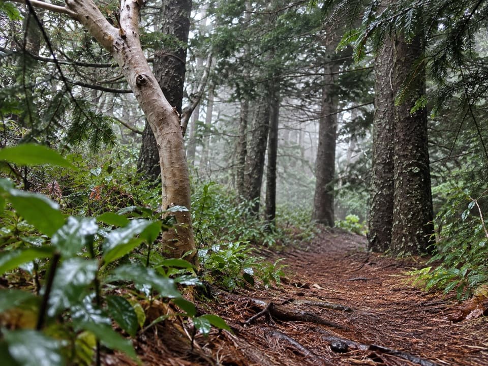 ModeratePine Loop6.3 mi · 4 hr · At the trailheadA short Cook pine circuit is a long climb up Mahana Ridge.
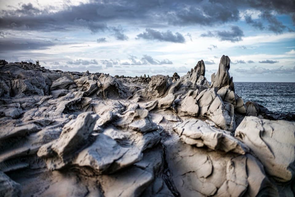 EasyDragon’s Teeth Trail0.7 mi · 30 min · 0.3 mi awayA short coastal walk to jagged lava fins at Makaluapuna Point.
 ModerateKapalua Village Cardio Loop1.3 mi · 54 min · 0.5 mi awayA hilly circuit through forest reclaimed from the old golf course.
 ModerateKapalua Coastal Trail3.5 mi · 2 hr · 1.1 mi awayA paved bay walk that turns rugged at Hāwea Point.
 EasyHonolua Bay Access Trail0.8 mi · 24 min · 1.3 mi awayA shaded forest walk to a rocky, protected bay.
 ModeratePineapple Loop0.4 mi · 3.5 hr · 2 mi awayA short pineapple side loop with a long uphill approach.
 EasyʻĀkia Loop0.6 mi · 30 min · 2.3 mi awayA short loop on the Mahana Ridge trail
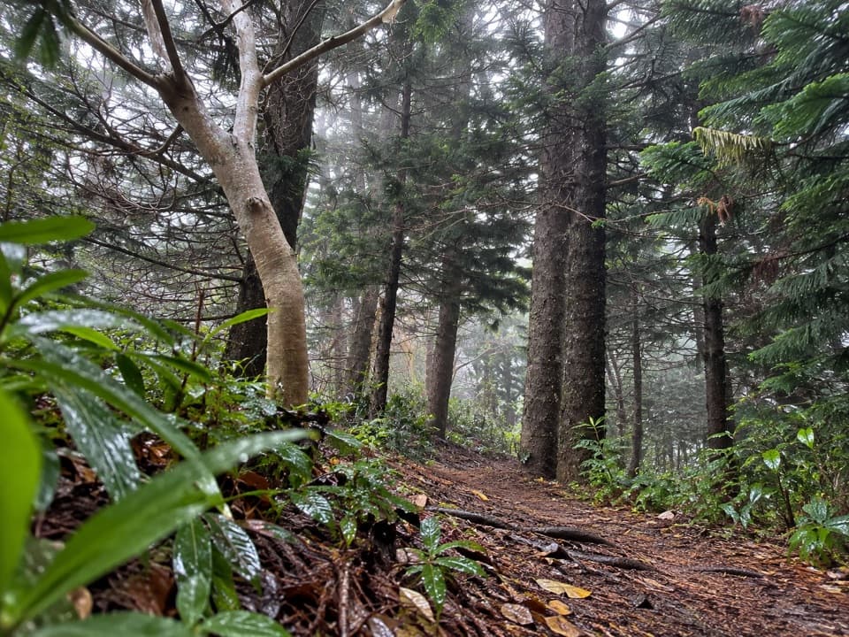 ModerateHonolua Ridge Trail2 mi · 2 hr · 2.6 mi awayA two-mile ridge walk to Puʻu Kaʻeo and a Sugi grove.
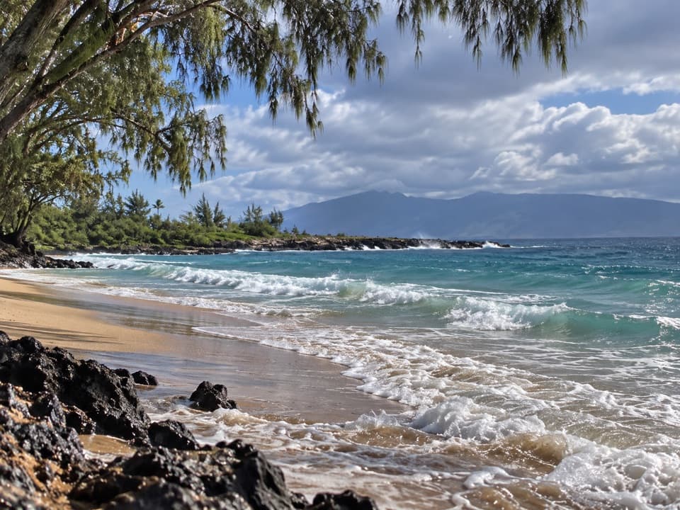 Beach · At the trailheadD.T. Fleming Beach ParkIronwood shade, white sand, and winter surf on Honokahua Bay.Sight · 0.4 mi awayDragon’s TeethTooth-shaped lava fins rise above a rough, wave-washed shore.
 Beach · 0.6 mi awayOneloa BeachA quiet quarter-mile beach on the Kapalua Coastal Trail.
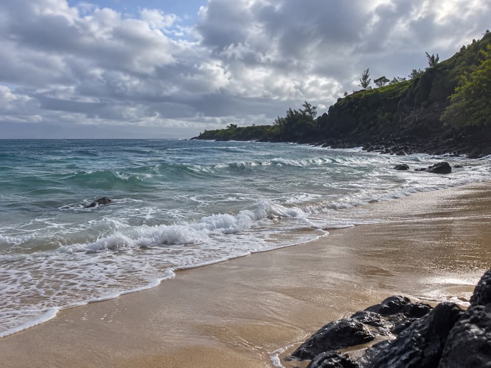 Beach · 0.7 mi awayMokulēʻia Bay (Slaughterhouse Beach)A cliff-framed cove where the surf decides the day.
 Scenic pullout · 1 mi awayHonolua Bay Scenic LookoutBlue water and green cliffs, seen from a quick roadside pull-off.
 Beach · 1 mi awayHonolua BayForest walk, coral-rich reef, and slippery rocky entry.
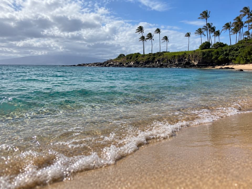 Beach · 1.1 mi awayKapalua Bay BeachA crescent cove where coral reefs put snorkeling front and center.
 Restaurant · 1.1 mi awayMerriman’s KapaluaPlan dinner around the open-air lanai and long ocean view.
Parkwolf’s West Maui Scenic Drive ranking

The audio tour guide for the drive, plus offline maps, trails, and wildlife heatmaps for when the signal drops.