Pros & cons
PROS
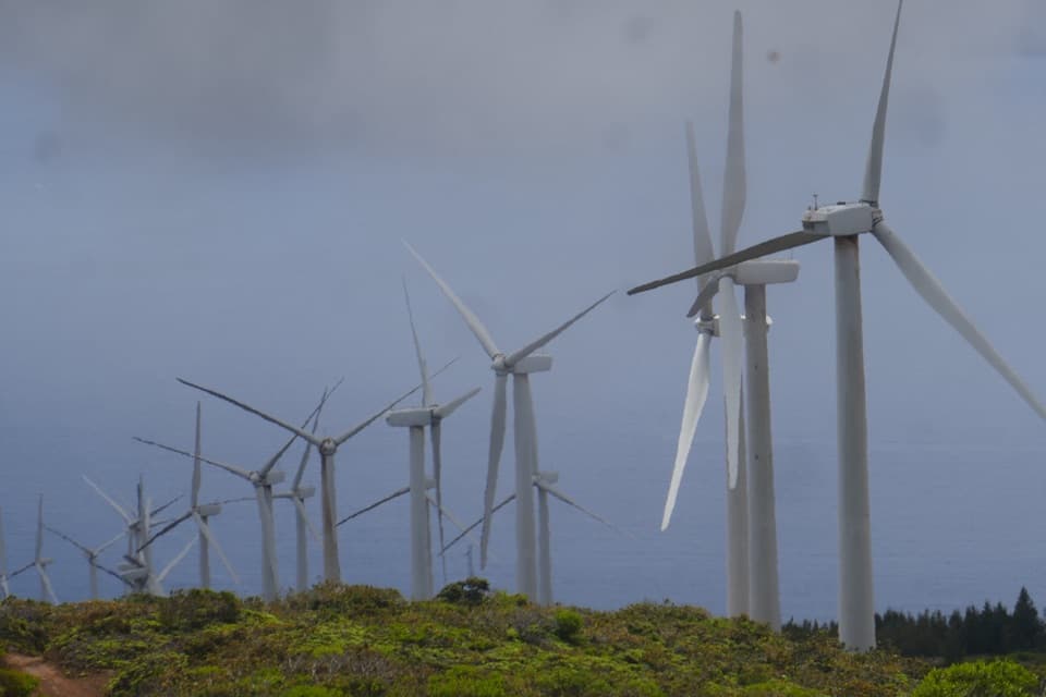
- Walks directly through the Kaheawa turbine corridor for rare close‑up views
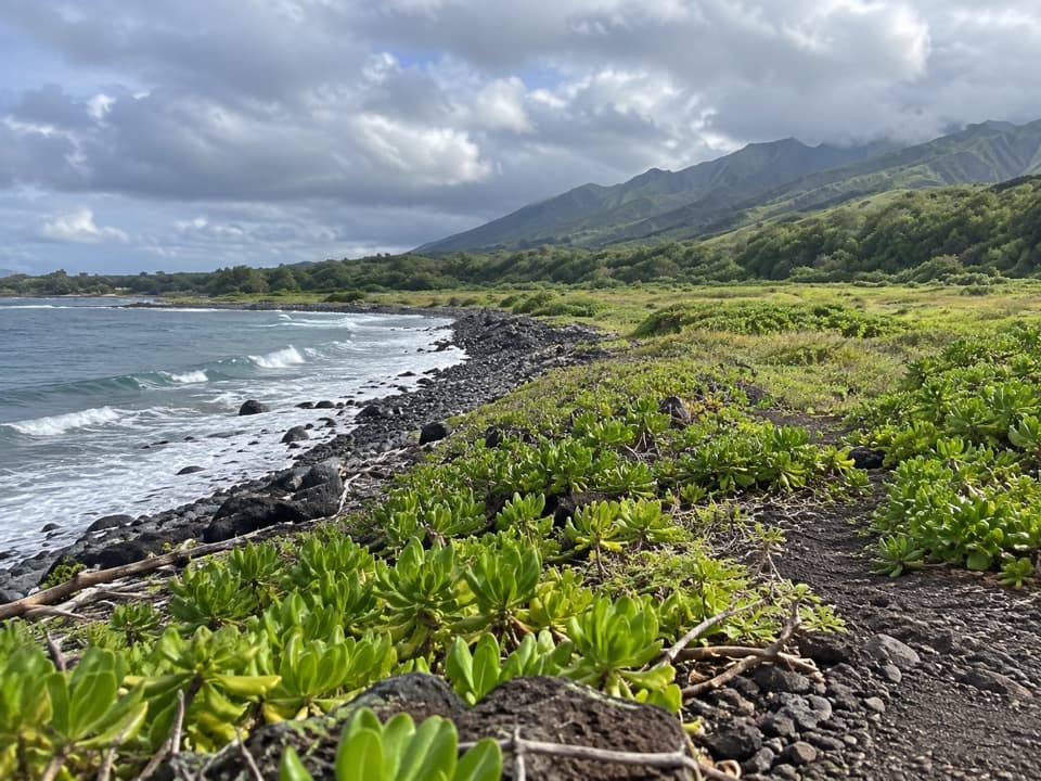
- Historic King’s Highway segments underfoot add real sense of place
- Reliable winter whale vantage from the west side lower slopes
CONS
- Relentless trade winds make exposed ridges feel tougher than the stats
- Zero shade and no water anywhere on route
- Petty theft has been reported at the west trailhead lot
Two trailheads. East/Maʻalaea: just off Route 30 near the wind farm; automatic gate with posted hours (5:00 AM–7:30 PM as of May 2025). West/Ukumehame: dirt lot off Honoapiʻilani Hwy about 3.5 miles south of the Pali Tunnel; no facilities—leave nothing visible.
Very rocky footing, strong winds (often near 30 mph), full sun, and no water. Slick after rain, brushfire‑prone, spotty cell service. Obey wind‑farm signage and Maʻalaea gate hours; petty theft reported at the west lot.
Overview
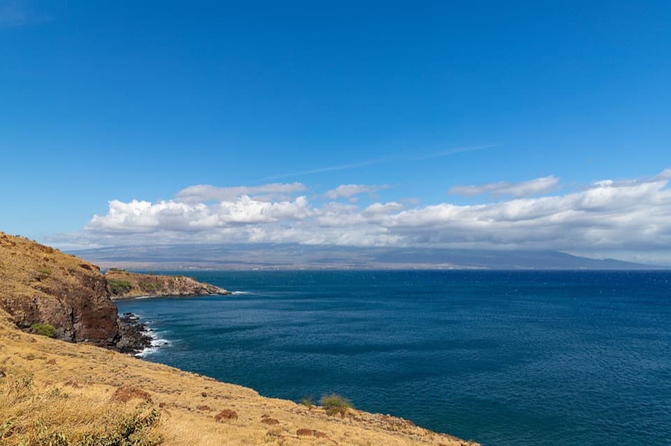
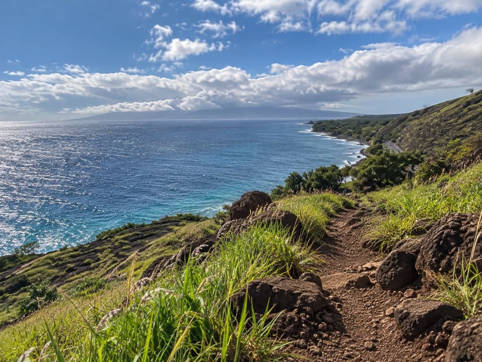
This is Maui’s classic wind‑scoured ridge traverse between Maʻalaea and Ukumehame. It’s steep, rocky, and almost completely exposed—but the payoff is big ocean panoramas, neighboring islands on clear days, and an up‑close walk through the Kaheawa wind farm. The full route is about 5 miles one way (roughly 10 miles if you go over and back), with around 1,600–1,700 feet of gain. Expect 3–5 hours for a one‑way crossing depending on fitness and conditions.
Route choices
- Full one‑way (shuttle or two cars): Maʻalaea ↔ Ukumehame, ~5 miles with a steady climb to the turbine ridge, then a rocky descent.
- West half‑hike: From the Ukumehame side, a popular out‑and‑back to the turbine area is roughly 4.3–4.6 miles round trip with ~1,600 feet of gain—great for sunset season and winter whale spotting below.
- East half‑hike: From Maʻalaea, you’ll hit steep switchbacks quickly and snag sweeping views over the central valley; turn around wherever your legs or time say so.
What you’ll see
Views span Kahoʻolawe, Lānaʻi, and Molokini, with the Big Island sometimes visible on exceptionally clear days. You’ll cross sections of the historic King’s Highway, where lava cobbles still show through, and pass remnants of the old pali road. The ridge carries you among cinder hills and cuts along the West Maui Volcano’s rift zone. In the dryland scrub, watch for native plants like ʻilima and ʻākia, and keep an eye out for nēnē and pueo. In winter, this ridge is a solid vantage for humpback whales offshore.
Difficulty and footing
It’s rated moderate to strenuous for a reason: relentless grades, chunky lava rock, and consistent wind. There’s virtually no shade. Sturdy closed‑toe shoes are a must, and trekking poles help with the pounding descent. After rain, loose rock and clay can be slick—pace yourself.
Trailheads, parking, and logistics
East/Maʻalaea: Just off Route 30 near the wind farm. As of May 2025, an automatic vehicle gate controls access with posted hours (5:00 AM–7:30 PM). Plan to be out before the gate closes. West/Ukumehame: Dirt lot off Honoapiʻilani Highway about 3.5 miles south of the Pali Tunnel; this side is often less crowded. Do not leave valuables visible. There are no bathrooms or water at either trailhead. For a full crossing, stage two cars or arrange a pickup/ride.
Best times to hike
Start early to beat heat and crowds, or go late afternoon for softer light. Sunrise pops from the Maʻalaea side; sunset shines from Ukumehame—bring headlamps if there’s any chance of finishing in twilight. Winter adds whale watching; summer bakes. This corridor funnels wind, often near 30 mph, year‑round.
Essential tips
Carry 2–3 liters of water per person, electrolytes, sun hat, long sun layer, and high‑SPF sunscreen. A light wind/rain shell can make blustery ridge sections more comfortable. Download offline maps—cell service is spotty. Respect signs and stay off wind‑farm service roads. This area is brushfire‑prone; never smoke or light fires.
Where it starts
20.7917, -156.5639Wildlife on this trail
Near Lahaina Pali Trail
All places →All trails →
0.4 mi awayPāpalaua State Wayside ParkBare-bones beach camping right off the highway with big viewsCampground · Parking
1.2 mi awayUkumehame Beach ParkLongboard-friendly surf and big views on a quick roadside beachRestroom · Parking
2.1 mi awayPapawai Scenic LookoutQuick roadside perch for whale season panoramasPullout · Parking
3.6 mi awayOlowalu BeachRoadside beach with calm, shallow reef and easy snorkel entryPullout · Parking
4 mi awayOlowalu Petroglyphs TrailEasy dirt road to cliffside Hawaiian petroglyphs—bring binoculars.Easy · 1.1 mi · 48 min
6.3 mi awayIao Needle Lookout TrailQuick paved climb to Maui’s Needle, plus a shady stream to soak.Easy · 0.6 mi · 45 min
10.6 mi awayWaihe'e Coastal Dunes and Wetlands Refuge TrailEasy coastal walk with birds, dunes, and deep Hawaiian historyEasy · 3.3 mi · 1.5 hr
11.3 mi awayWaihe’e Ridge TrailSteep ridgeline to huge valley and ocean views—worth the early start.Challenging · 4.4 mi · 3.5 hr