1 active Westland Tai Poutini alert
- CautionActive landslide zones on Copland TrackDo not stop in either of Copland Track’s signposted active landslide zones; take extra care during and after heavy rain.Official details
#2 of 35 sights in Westland Tai Poutini
Sight · Westland Tai Poutini National Park
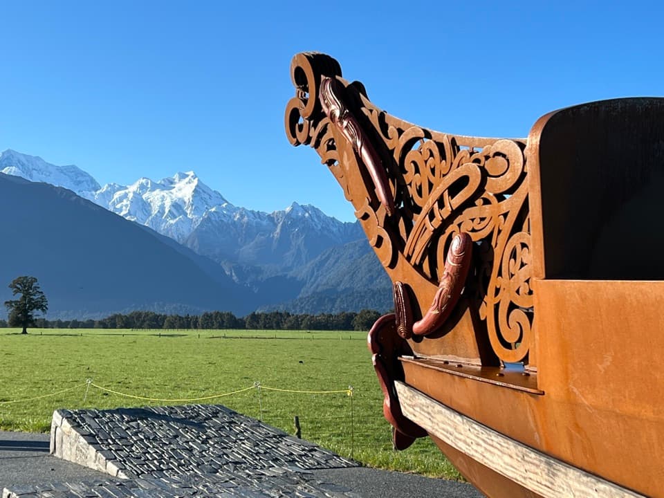
Carved waka and a glacier panorama share a striking creation story.
Overview
Map
Plan your stop

The highest, rockiest slopes around here are a summer buffet for grizzly bears.
Westland Tai Poutini Tour Guide
Parkwolf is a GPS audio tour guide for Westland Tai Poutini National Park. As you drive, it chimes in with what’s ahead: hidden gems, upcoming stops, history, geology, and wildlife, right through your car’s speakers.
See the Westland Tai Poutini audio tourRecorded for this place
Te Kopikopiko o te Waka: Canoe and Mountains“Up ahead is Te Kopikopiko o te Waka, a quick stop for a wide view toward Fox Glacier and the Southern Alps. The carved canoe is also a viewing platform, co-designed with Ngāti Māhaki.”
Plays as you drive up to Te Kopikopiko o te Waka in the Parkwolf Westland Tai Poutini Tour Guide.
More stories near here in the app
“Fantastic app with many points of information… It’s great to just turn on while you’re driving and it gives you an audio tour of the national Park. We love it!!!!”


Guide
Te Kopikopiko o te Waka is a roadside viewpoint and landscaped waka installation on Cook Flat Road, about 9 km from State Highway 6. Its platform looks across pasture to Fox Glacier and Kā Tiritiri o te Moana, the Southern Alps, giving you the glacier panorama without a long walk up the valley. If the view is your main reason to drive out, wait for a clear window; cloud can hide the ice and peaks. A clear sunset is especially rewarding. For a photo, put the carved waka in the foreground with the snowy skyline behind it.
Co-designed with Ngāti Māhaki, the sculpture incorporates a viewing platform. Te Kopikopiko o te Waka means “the capsized canoe.” In a Ngāti Māhaki creation story, Te Waka o Aoraki capsizes and becomes Te Waipounamu, the South Island; its four sons turn into mountains: Aoraki (Aoraki / Mount Cook), Rakiroa (Mount Dampier), Rakirua (Mount Teichelmann), and Rarakiroa (Mount Tasman). The sculpture and the peaks are part of the same story, so look from the waka out to the skyline.
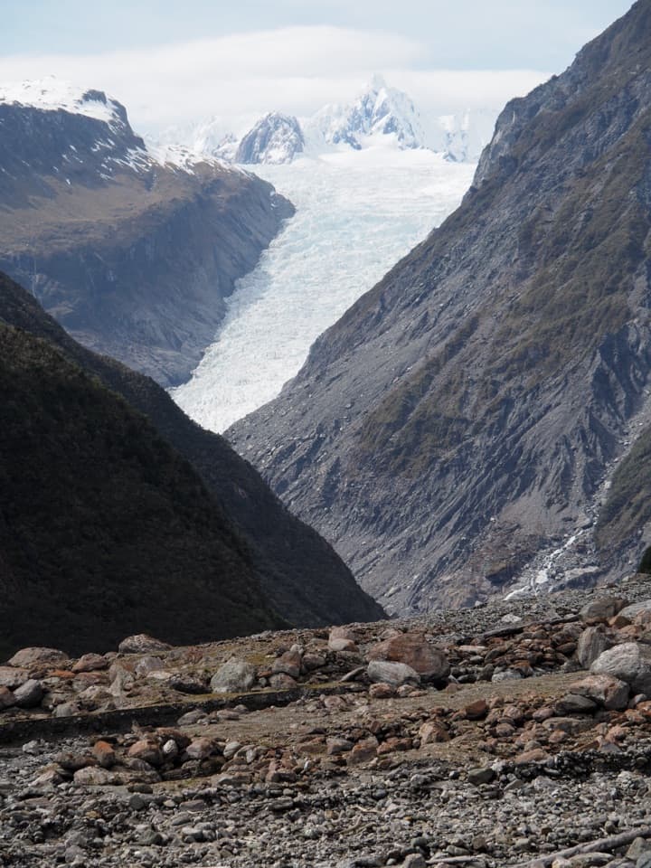
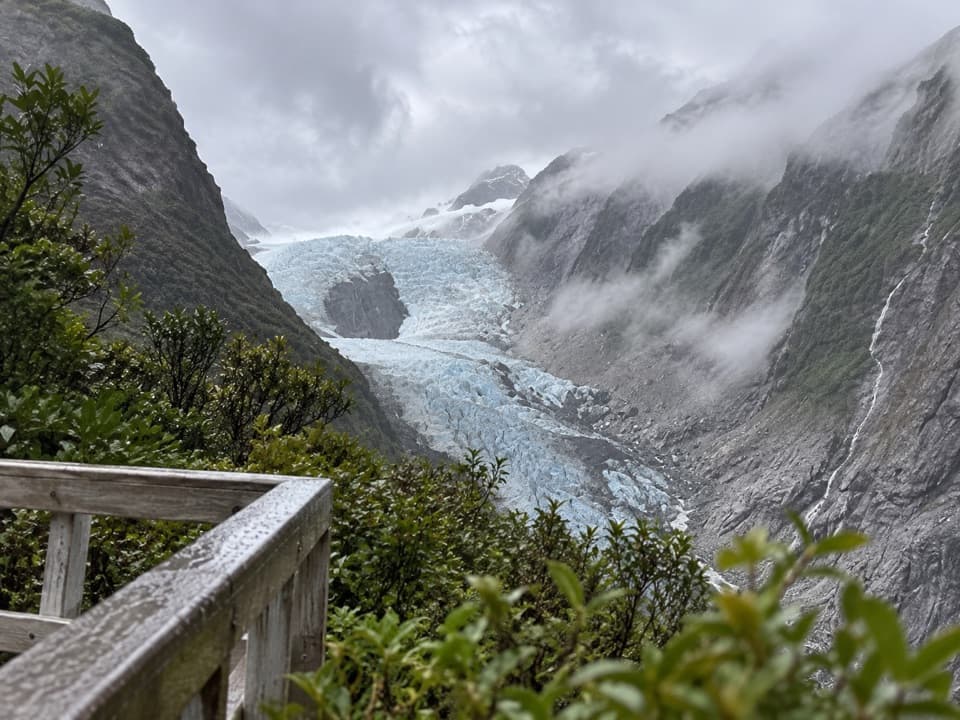
Look toward the high snow basin, or neve, of Fox Glacier (Te Moeka o Tuawe) between the ranges. The glacier is about 13 km long, and its terminal face descends below 300 m above sea level. During the last ice age, it spread as an ice sheet beyond today’s coast and shaped glacial features in the area, including Lake Matheson. The lookout gives you the broad setting; it is not a walk to the glacier’s terminal face.
A nearby five-minute walk through forest is an easy extra if you have a little time. Keep an eye out for kererū feeding on berries, though they are a chance sighting rather than a sure thing.
The viewpoint is reached by a 9 km drive along Cook Flat Road from SH6, and the parking area sits beside the paths. Landscaped walkways let you explore the installation without committing to a longer hike; picnic tables make a handy place to pause. Weather can change quickly in this part of the West Coast, so wear suitable shoes and bring a rain layer.
Wildlife
 89 sightingsKeaMost seen around 10 AMSighting map
 10 sightingsBlue DuckMost seen around 5 PMSighting map
 80 sightingsKererūMost seen around 7 AMSighting map
 38 sightingsTūīMost seen around 5 AMSighting map
 10 sightingsNew Zealand FalconMost seen around 10 AMSighting map
 28 sightingsYellow-crowned ParakeetMost seen around 8 AMSighting map
Sighting maps show where each species has been reported across Westland Tai Poutini. Wildlife moves, so no sighting is guaranteed.
Keep exploring
 ModerateLake Gault Track8 km · 3 hr · 4.4 km awayA steady forest climb ends at a glacial lake lookout.
 EasyLake Matheson Jetty Lookout Walk2.4 km · 45 min · 4.4 km awayA short rainforest walk to Lake Matheson's mountain reflections.
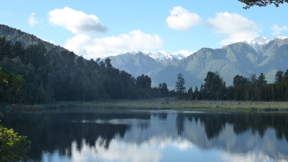 EasyLake Matheson/Te Ara Kairaumati Walk4.4 km · 1.5 hr · 4.4 km awayA rainforest circuit to a mirror lake below the Southern Alps.
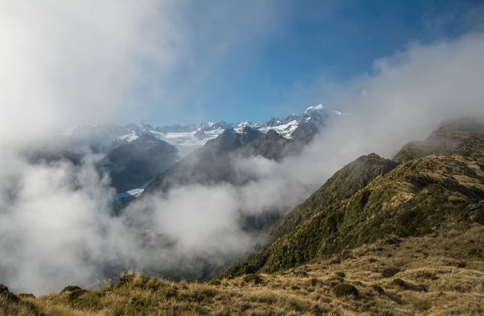 ChallengingMount Fox Route7.4 km · 8 hr · 7.1 km awayA steep expert climb to glacier and coast views.
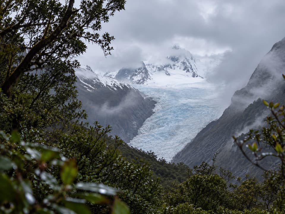 EasyFox Glacier South Side Walkway/Cycleway6.4 km · 2 hr · 8 km awayForest walking to a glacier view 2.6 km from the ice.
 EasyMoraine Walk4 km · 1.5 hr · 8 km awayA ferny loop across three ages of glacier moraine.
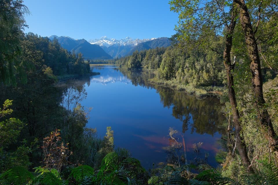 Sight · 4 km awayView of Views LookoutA high lookout frames Aoraki and Tasman beyond the lake.
 Sight · 4.2 km awayReflection IslandFor the Alps doubled, aim for a still dawn.
 Sight · 4.2 km awayLake Matheson Jetty LookoutA short rainforest walk reaches the lake’s famous mountain mirror.
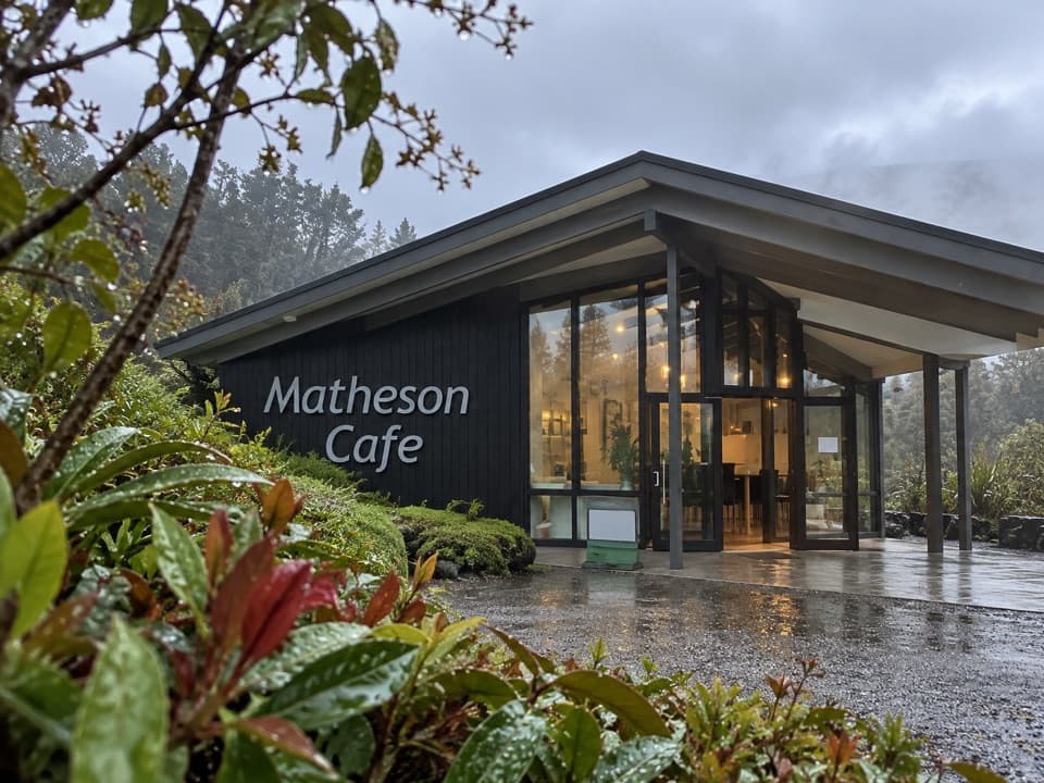 Restaurant · 4.4 km awayMatheson CaféBreakfast with Aoraki and Tasman in view.
 Sight · 5.9 km awayLake Gault LookoutA lakeside shelter with Southern Alps views, reached on foot.
 Beach · 6.9 km awayGalway BeachA forest tramp to a pebble shore and winter seal haul-out.
Parkwolf’s Westland Tai Poutini ranking

The audio tour guide for the drive, plus offline maps, trails, and wildlife heatmaps for when the signal drops.