1 active Westland Tai Poutini alert
- CautionActive landslide zones on Copland TrackDo not stop in either of Copland Track’s signposted active landslide zones; take extra care during and after heavy rain.Official details

#3 of 35 sights in Westland Tai Poutini
Sight · Westland Tai Poutini National Park
A short climb for glacier history and a wide valley view.
Overview
Map
Plan your stop

The highest, rockiest slopes around here are a summer buffet for grizzly bears.
Westland Tai Poutini Tour Guide
Parkwolf is a GPS audio tour guide for Westland Tai Poutini National Park. As you drive, it chimes in with what’s ahead: hidden gems, upcoming stops, history, geology, and wildlife, right through your car’s speakers.
See the Westland Tai Poutini audio tourRecorded for this place
Franz Josef Glacier Valley: Sentinel Rock“You're approaching the Franz Josef Glacier valley car park, where I'd choose Sentinel Rock for a short look over the valley. Allow twenty to thirty minutes return, with a short, steady climb.”
Plays as you drive up to Sentinel Rock in the Parkwolf Westland Tai Poutini Tour Guide.
More stories near here in the app
“Fantastic app with many points of information… It’s great to just turn on while you’re driving and it gives you an audio tour of the national Park. We love it!!!!”


Guide
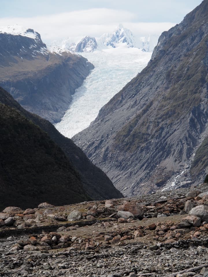
Sentinel Rock is a bush-covered, ice-scraped schist outcrop above Franz Josef’s Waiho Valley. A short climb ends at a lookout over the Franz Josef Glacier, the river and broad gravel flats. Keep it on your list if you want the valley and its glacier story in one compact stop. The ice is distant from here and can be hidden by cloud; you can’t see the glacier’s upper snowfields from this viewpoint.
From Franz Josef Waiau, cross the Waiho River bridge, turn left onto Glacier Access Road (Te Ara a Waiau) and continue about 4 km to the road-end car park. The track is 900 m return, along the same route, and takes about 20 minutes. It’s a short, steady climb. Parking is paid, and dogs aren’t allowed on the walk.
Sentinel Rock emerged from beneath the glacier in 1865. Panels at the top compare photographs of its retreat; the glacier has pulled back more than 3 km since 1909. The photo above dates from 2010, when the ice reached farther down the valley than it does today. On a clear day you can pick out the remaining glacier at the valley’s head, but low cloud can hide it.
The hard schist here has been smoothed into a rounded form by glacier ice. Geologists call it a roche moutonnée, or “rock sheep.” That ice-scraped surface makes the lookout more than a place to point at the glacier: you’re standing on a landform left by it.
On the valley floor, plants are reclaiming ground the ice left behind. Where rubble lies over bedrock, low tree-daisy shrubs and tutu can take hold first, followed by young rātā and kāmahi forest over roughly a century. Bare rock takes longer to green over; mosses, lichens and small shrubs start in cracks and crevices.
Don’t make the glacier the whole picture. From the summit, include the Waiho River flats and steep valley walls for context; zoom can help bring out the ice when it’s visible. Even when cloud hides the glacier or it looks small, the broad valley is still the point.
Wildlife
 89 sightingsKeaMost seen around 10 AMSighting map
 10 sightingsBlue DuckMost seen around 5 PMSighting map
 80 sightingsKererūMost seen around 7 AMSighting map
 38 sightingsTūīMost seen around 5 AMSighting map
 10 sightingsNew Zealand FalconMost seen around 10 AMSighting map
 28 sightingsYellow-crowned ParakeetMost seen around 8 AMSighting map
Sighting maps show where each species has been reported across Westland Tai Poutini. Wildlife moves, so no sighting is guaranteed.
Keep exploring
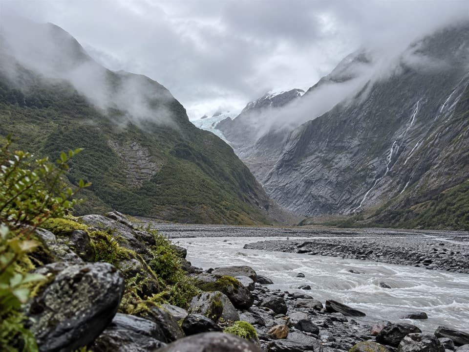 EasyFranz Josef Glacier/Kā Roimata o Hine Hukatere Walk1.7 km · 30 min · 0.2 km awayA short forest walk to a valley shaped by retreating ice.EasySentinel Rock Walk0.9 km · 24 min · 0.2 km awayA short climb above the Waiho River and glacier valley.
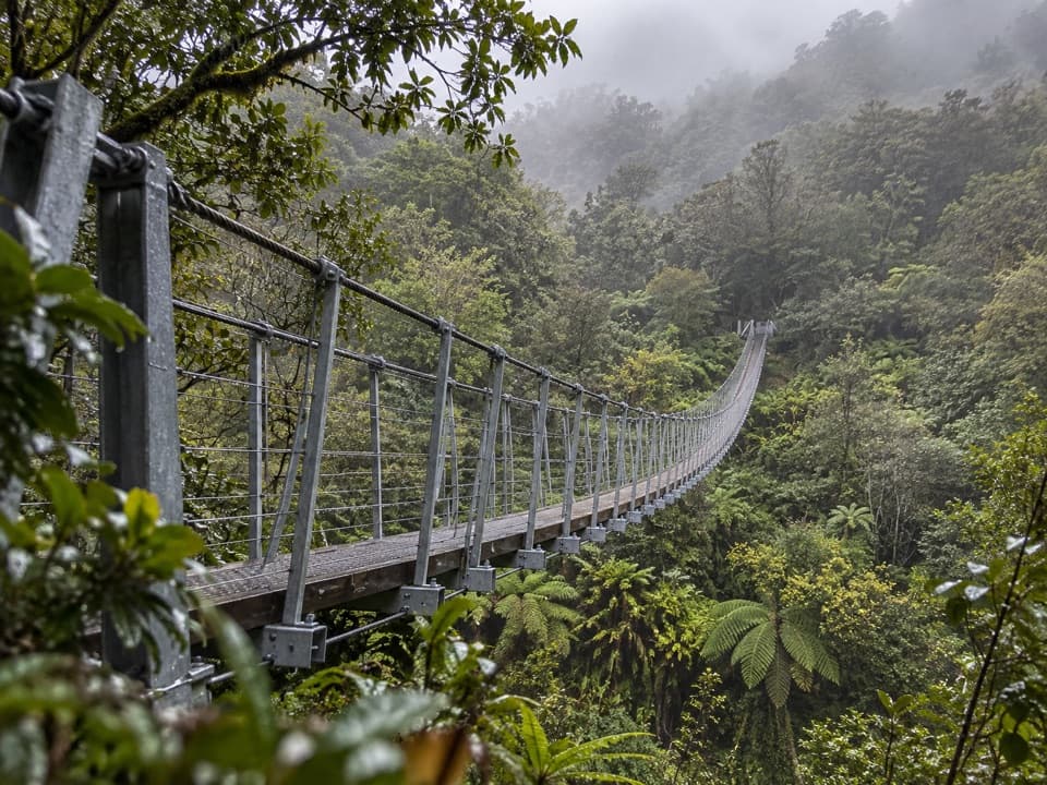 ChallengingRoberts Point Track12.3 km · 5.3 hr · 0.3 km awayA rough valley climb to a high view of Franz Josef Glacier.
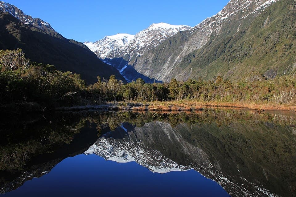 EasyPeters Pool Walk1.1 km · 30 min · 0.3 km awayA short, level forest walk to Peters Pool’s mountain reflections.
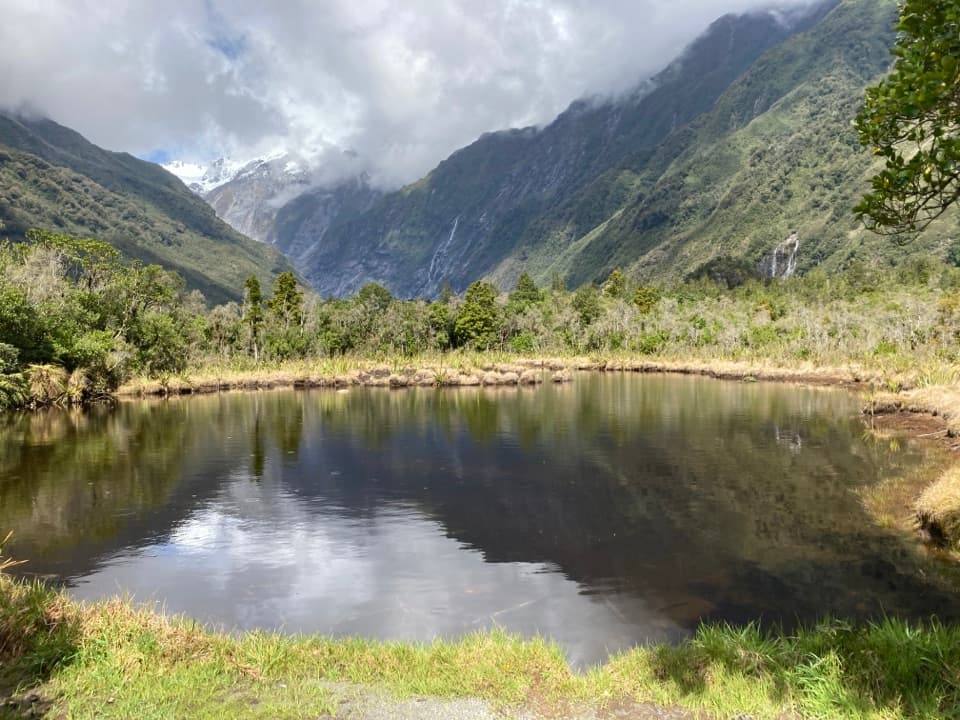 EasyDouglas Walk3.9 km · 1 hr · 0.3 km awayA short forest walk to a reflective pool and historic bridge.
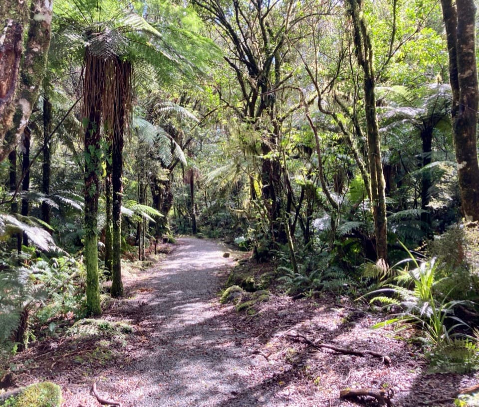 EasyLake Wombat Walk3.8 km · 1.5 hr · 1.5 km awayA steady forest climb to a quiet kettle lake.
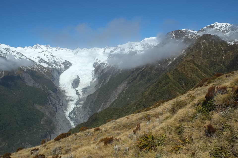 ChallengingAlex Knob Track17.2 km · 8 hr · 1.6 km awayEarn glacier, Alps and Tasman Sea views on a long climb
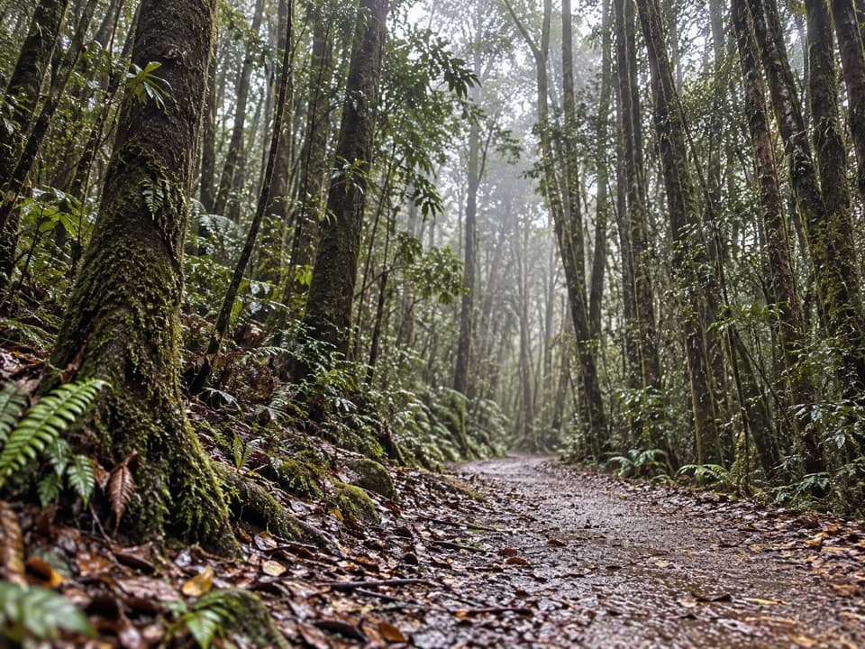 EasyTerrace Walk1 km · 30 min · 3.7 km awayA short rainforest path with glowworms around fallen trees after dark.Sight · 0.6 km awayPeters PoolA quick, accessible walk to a mountain reflection pool.
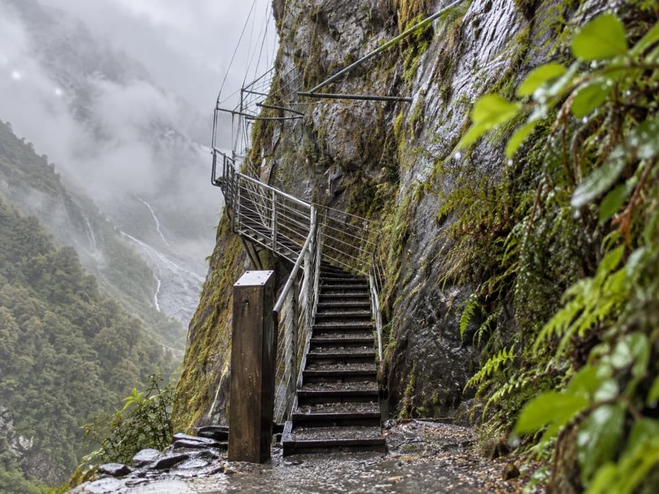 Sight · 1.1 km awayHende’s Hut and GalleryA 1907 cliff gallery on a demanding glacier-valley tramp.
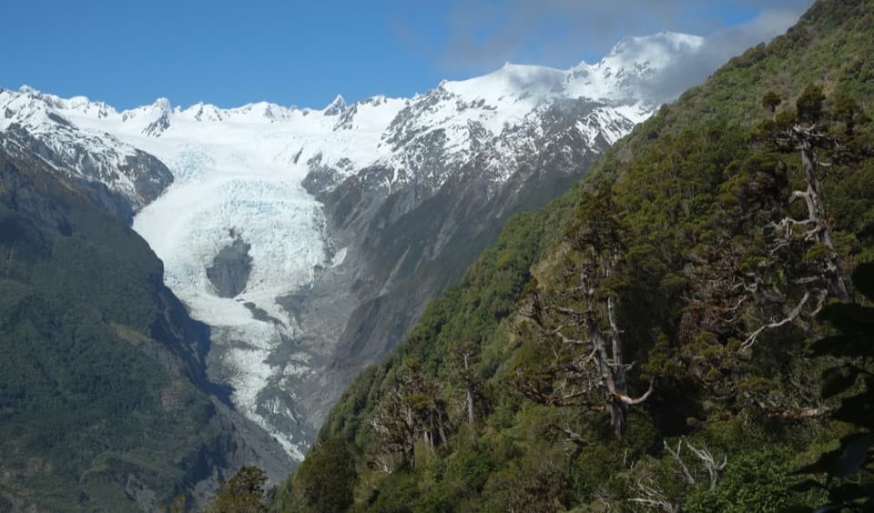 Sight · 1.4 km awayChristmas LookoutA high glacier view after three hours of uphill walking.Sight · 1.5 km awayAlex KnobA full-day climb buys you Franz Josef Glacier from above.
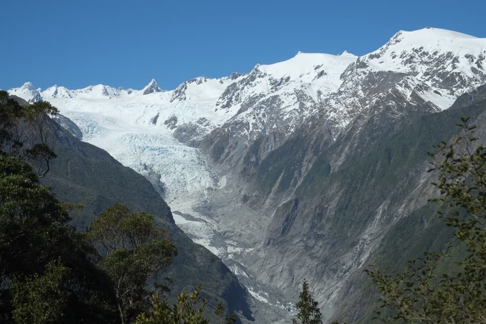 Sight · 1.7 km awayRata LookoutTwo hours uphill earns a first glimpse of Franz Josef Glacier.
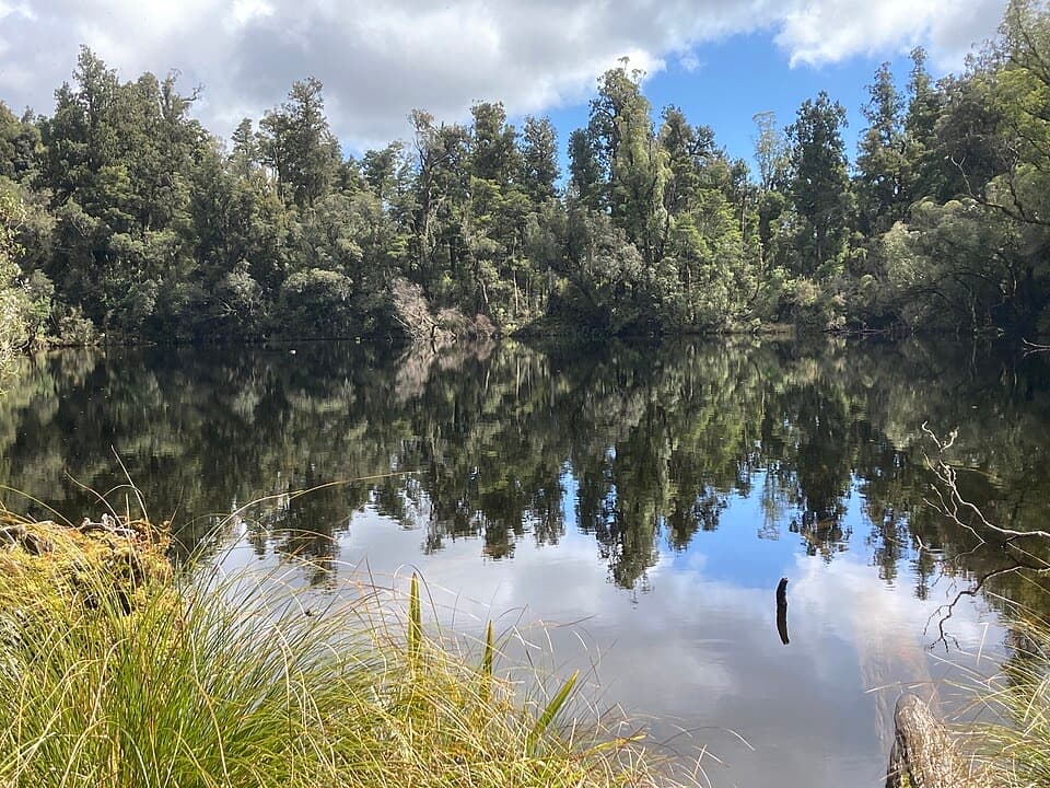 Sight · 2.4 km awayLake WombatQuiet rimu forest leads to a small, still kettle lake.
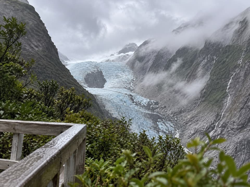 Sight · 2.4 km awayRoberts Point LookoutA demanding hike ends above Franz Josef Glacier.
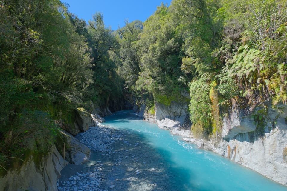 Sight · 3 km awayCallery Gorge BridgeA rainforest walk to a 29-metre bridge over Callery Gorge.
Parkwolf’s Westland Tai Poutini ranking

The audio tour guide for the drive, plus offline maps, trails, and wildlife heatmaps for when the signal drops.