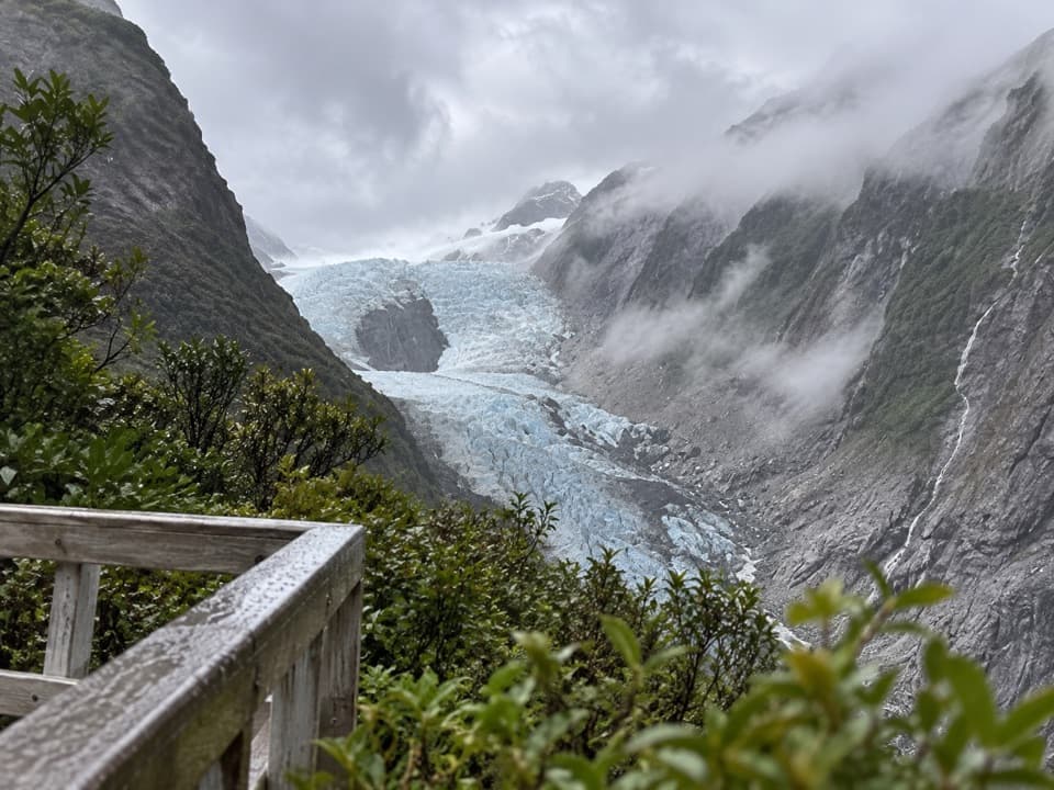
1 active Westland Tai Poutini alert
- CautionActive landslide zones on Copland TrackDo not stop in either of Copland Track’s signposted active landslide zones; take extra care during and after heavy rain.Official details

#6 of 35 sights in Westland Tai Poutini
Sight · Westland Tai Poutini National Park
For the Alps doubled, aim for a still dawn.
Overview
Map
Plan your stop

The highest, rockiest slopes around here are a summer buffet for grizzly bears.
Westland Tai Poutini Tour Guide
Parkwolf is a GPS audio tour guide for Westland Tai Poutini National Park. As you drive, it chimes in with what’s ahead: hidden gems, upcoming stops, history, geology, and wildlife, right through your car’s speakers.
See the Westland Tai Poutini audio tourRecorded for this place
Lake Matheson: the Short Walk and the Mirror“You're coming up on Lake Matheson, known for reflecting Aoraki, Mount Cook, and Mount Tasman in its dark water. For a shorter visit, choose Jetty Lookout: about forty-five minutes return through rainforest.”
Plays as you drive up to Reflection Island in the Parkwolf Westland Tai Poutini Tour Guide.
More stories near here in the app
“Fantastic app with many points of information… It’s great to just turn on while you’re driving and it gives you an audio tour of the national Park. We love it!!!!”


Guide
Reflection Island is a named viewing platform on Lake Matheson, reached by steps down from the 4.4 km lakeside circuit. The lake is known for reflecting Aoraki/Mount Cook and Mount Tasman/Te Horokōau. This is the stop to keep going for if that mirror view is why you came; it’s a separate platform from Jetty Lookout and View of Views Lookout.
Allow about 1.5 hours for the 4.4 km loop. Reflection Island is five minutes beyond Jetty Lookout, and the track continues from here through the wetland at the eastern end of the lake. Steps descend to the platform, so this stop is not wheelchair accessible. The wheelchair-accessible 2.4 km return walk ends at Jetty Lookout and does not reach Reflection Island.
The lake is stillest at dawn and dusk, and the best reflections come on a sunny, windless day. Wind roughens the surface and cloud can hide the peaks, so treat the famous double mountain view as a lucky condition, not a guarantee. From the platform, include a little of the railing at the bottom of your photo to show where the reflection is seen.
Organic matter from the forest floor darkens Lake Matheson’s water. With the surface calm, that dark water gives the surrounding forest and Southern Alps a striking mirror.
Lake Matheson formed about 14,000 years ago, when Fox Glacier retreated from its last major advance. The glacier spread over the coastal plain and left heaps of rock; the basin later filled with water.
Lake Matheson is also Te Ara Kairaumati and a customary mahinga kai, or food-gathering place, for Ngāi Tahu. Long-finned eels, or tuna, are abundant in its dark water and are taonga, a treasured species for Māori.
The wider circuit passes through native rainforest with ferns and tall kahikatea, rimu and tōtara. Canada geese and mallards are common on the lake; along the track you may also see or hear pūkeko, tūī and kererū.
The car park has free car and campervan parking, three marked mobility spaces, toilets and an accessible toilet. There’s no drinking water; food and fuel are available in Fox Glacier/Weheka. Sandflies can be fierce, and the popular walk gets busy in summer, from November through April.
Wildlife
 89 sightingsKeaMost seen around 10 AMSighting map
 10 sightingsBlue DuckMost seen around 5 PMSighting map
 80 sightingsKererūMost seen around 7 AMSighting map
 38 sightingsTūīMost seen around 5 AMSighting map
 10 sightingsNew Zealand FalconMost seen around 10 AMSighting map
 28 sightingsYellow-crowned ParakeetMost seen around 8 AMSighting map
Sighting maps show where each species has been reported across Westland Tai Poutini. Wildlife moves, so no sighting is guaranteed.
Keep exploring
 ModerateLake Gault Track8 km · 3 hr · 1.2 km awayA steady forest climb ends at a glacial lake lookout.
 EasyLake Matheson Jetty Lookout Walk2.4 km · 45 min · 1.3 km awayA short rainforest walk to Lake Matheson's mountain reflections.
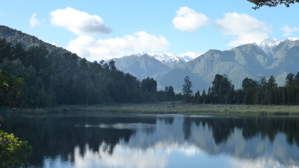 EasyLake Matheson/Te Ara Kairaumati Walk4.4 km · 1.5 hr · 1.3 km awayA rainforest circuit to a mirror lake below the Southern Alps.
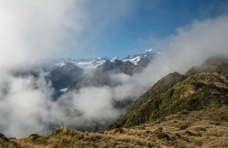 ChallengingMount Fox Route7.4 km · 8 hr · 5.4 km awayA steep expert climb to glacier and coast views.
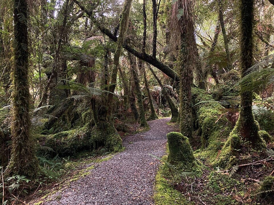 EasyMinnehaha Walk1.2 km · 20 min · 5.5 km awayA short rainforest loop with a chance of glowworms after dark.
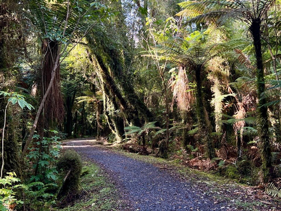 EasyTe Weheka Walkway/Cycleway5 km · 1.3 hr · 5.5 km awayA forest walk to an active landslide viewpoint in Fox Glacier Valley.
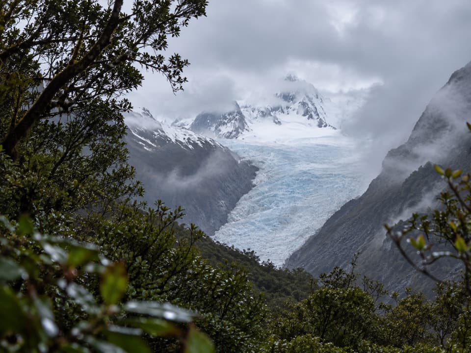 EasyFox Glacier South Side Walkway/Cycleway6.4 km · 2 hr · 5.8 km awayForest walking to a glacier view 2.6 km from the ice.
 EasyMoraine Walk4 km · 1.5 hr · 5.8 km awayA ferny loop across three ages of glacier moraine.
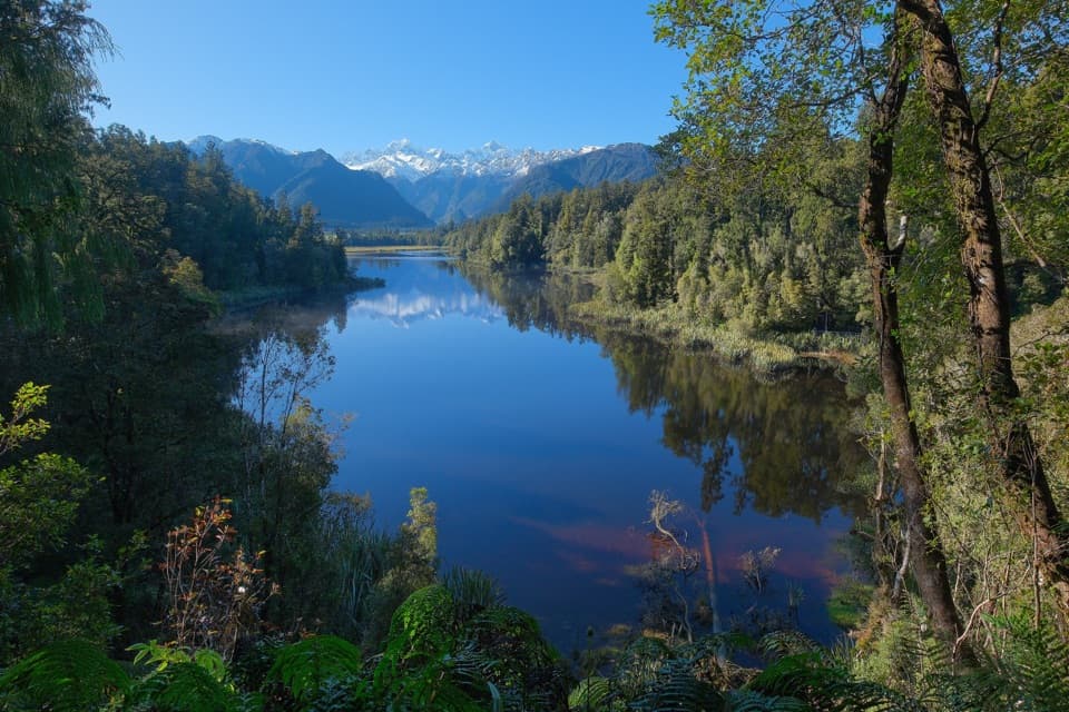 Sight · 0.2 km awayView of Views LookoutA high lookout frames Aoraki and Tasman beyond the lake.
 Sight · 0.3 km awayLake Matheson Jetty LookoutA short rainforest walk reaches the lake’s famous mountain mirror.
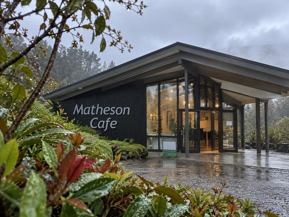 Restaurant · 1.2 km awayMatheson CaféBreakfast with Aoraki and Tasman in view.
 Sight · 1.8 km awayLake Gault LookoutA lakeside shelter with Southern Alps views, reached on foot.
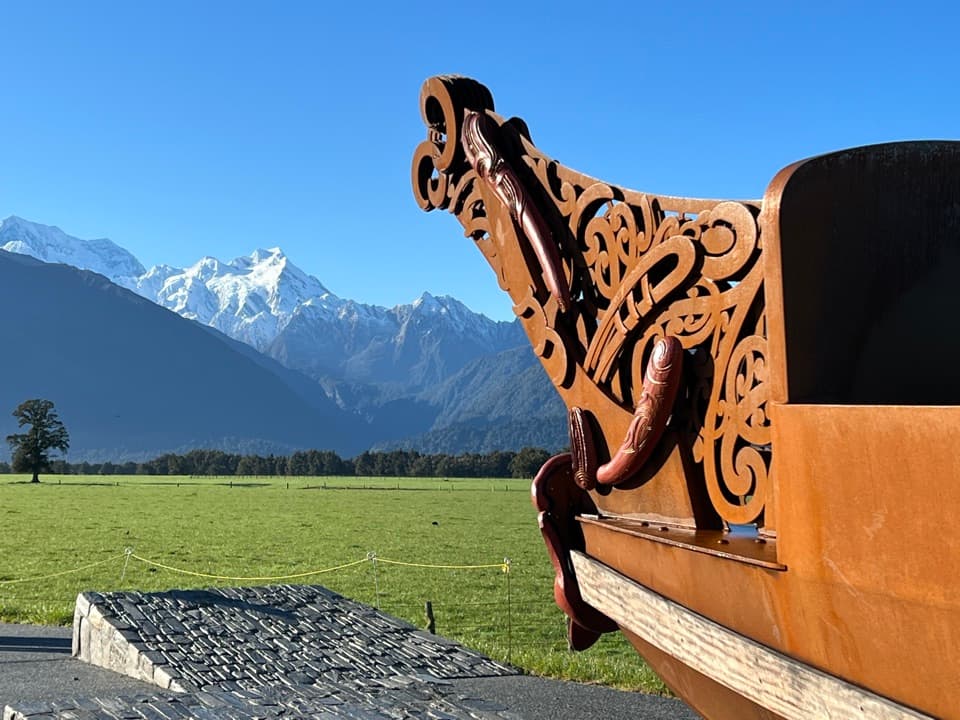 Sight · 4.2 km awayTe Kopikopiko o te WakaCarved waka and a glacier panorama share a striking creation story.
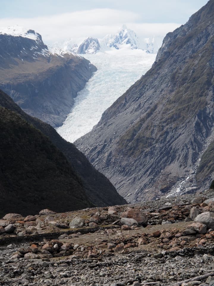 Sight · 8 km awayFox Glacier South Side ViewpointThe 6.4 km south-bank walk to Fox Glacier's final viewpoint.
Parkwolf’s Westland Tai Poutini ranking

The audio tour guide for the drive, plus offline maps, trails, and wildlife heatmaps for when the signal drops.