Parking
Start at Lake Matheson car park on the signed side road off Cook Flat Road, about 5 km from Fox Glacier/Weheka. Toilets are at the car park; a composting toilet is at the Lake Gault lookout.

#7 of 31 trails in Westland Tai Poutini
Westland Tai Poutini National Park, WC
A steady forest climb ends at a glacial lake lookout.
Overview
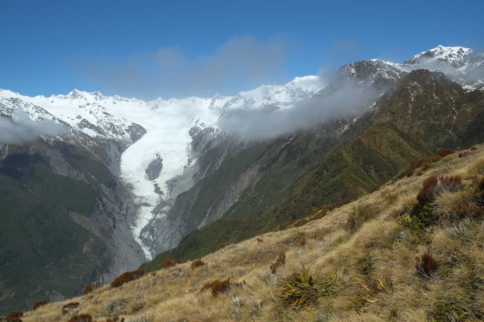
Near the top, Lake Gault begins to appear through the vegetation. Continue a few more minutes to the lookout, where a shelter, two picnic tables and a composting toilet make a natural stopping point. The view opens across the lake toward the Southern Alps, with Aoraki / Mount Cook and Mount Tasman in the frame. Frame the water with the tree-lined shore and leave room for the peaks above it. Early morning is your best chance of a still surface before clouds cover the mountains; the reflection depends on calm weather, so treat it as a bonus rather than a promise.
 Parkwolf’s verdictThe lake is the payoff
Map & elevation
Plan your hike

The highest, rockiest slopes around here are a summer buffet for grizzly bears.
Westland Tai Poutini Tour Guide
Parkwolf is a GPS audio tour guide for Westland Tai Poutini National Park. As you drive, it chimes in with what’s ahead: hidden gems, upcoming stops, history, geology, and wildlife, right through your car’s speakers.
See the Westland Tai Poutini audio tourRecorded for this trailhead
Lake Matheson: the Short Walk and the Mirror“You're coming up on Lake Matheson, known for reflecting Aoraki, Mount Cook, and Mount Tasman in its dark water. For a shorter visit, choose Jetty Lookout: about forty-five minutes return through rainforest.”
Plays as you drive up to this trailhead in the Parkwolf Westland Tai Poutini Tour Guide.
More stories near here in the app
“Fantastic app with many points of information… It’s great to just turn on while you’re driving and it gives you an audio tour of the national Park. We love it!!!!”


Trail guide
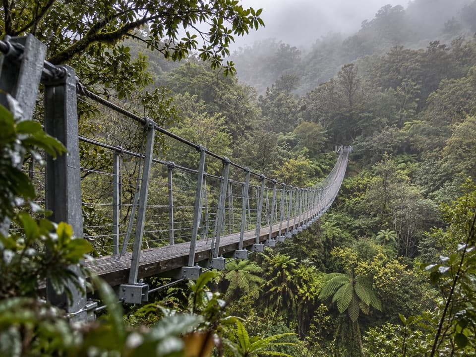
Lake Gault Track is an 8 km (about 5 mile) out-and-back from Lake Matheson car park to a lookout overlooking Lake Gault, then back the same way. It shares the opening stretch with the anticlockwise Lake Matheson walk before a signed branch climbs through podocarp forest. Allow about three hours. The payoff is a sheltered lookout with views of the Southern Alps, Aoraki / Mount Cook and Mount Tasman, but the work comes first: most of the outward leg climbs steadily. DOC calls the track easy to intermediate, but repeated reports point to more effort than that label suggests: the climb is sustained and the return can be hard on knees. Do it for the lake and the forest, not as a quick photo stop.
Start at Lake Matheson car park and follow the Lake Matheson / Te Ara Kairaumati walk anticlockwise until the signed Lake Gault branch. The first stretch is shared with the Matheson walk, so keep going past its lake viewpoints. Once you turn, the route climbs toward Lake Gault; the out-and-back retraces that line. If you want the full Matheson circuit as well, treat it as an extra walk; it makes for a longer outing than Lake Gault’s listed return distance.
The track gains about 200 m through original podocarp forest, with several small stream crossings. It is a long, mostly uphill push rather than a steep scramble, and the rough gravel can be uneven underfoot. The grade eases near the top, but the return is still a long descent; take your time if downhill walking bothers your knees. A hiker who wants an easy lakeside wander should stick to the shorter Lake Matheson walk instead.
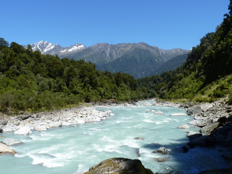
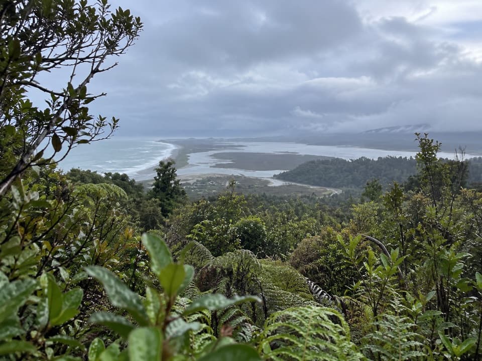
About halfway up, a seat looks down over the river flats. It is a good place to catch your breath and decide whether you want to continue. Turning around here makes a shorter out-and-back, but it skips Lake Gault itself and the main mountain outlook.
This route has an older working history than its quiet forest setting suggests. It was cut in the 1930s to reach a hydroelectric intake. The scheme sent water over the ridge to power a gold dredge at Gillespies Beach, which operated from 1932 to 1945. The track fell into disrepair and closed in 2000; local volunteers and DOC reopened it in April 2019, and it was upgraded in 2020.
Lake Gault sits in a basin gouged by ice. When the glacier retreated, a large plug of ice remained trapped in the hollow; its meltwater filled the depression and formed the lake. The ridges around it are also part of rowi recovery work: releases of the rare Ōkārito kiwi have been taking place here since December 2018. It is a conservation story to know about, not a wildlife sighting to count on.
There are toilets at the Lake Matheson car park and a composting toilet at the lookout. No drinking-water source or food stop is listed along the route, so carry the water you need for the three-hour walk. DOC says weather can change quickly; carry warm, waterproof layers and check track conditions before setting out. Dogs are not allowed.
Wildlife
 89 sightingsKeaMost seen around 10 AMSighting map
 10 sightingsBlue DuckMost seen around 5 PMSighting map
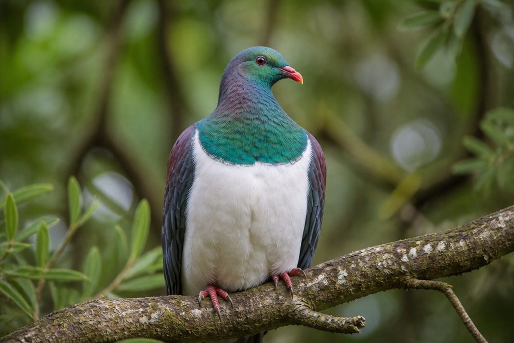 80 sightingsKererūMost seen around 7 AMSighting map
 38 sightingsTūīMost seen around 5 AMSighting map
 10 sightingsNew Zealand FalconMost seen around 10 AMSighting map
 28 sightingsYellow-crowned ParakeetMost seen around 8 AMSighting map
Sighting maps show where each species has been reported across Westland Tai Poutini. Wildlife moves, so no sighting is guaranteed.
Keep exploring
 EasyLake Matheson Jetty Lookout Walk2.4 km · 45 min · 0.1 km awayA short rainforest walk to Lake Matheson's mountain reflections.
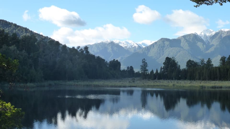 EasyLake Matheson/Te Ara Kairaumati Walk4.4 km · 1.5 hr · 0.1 km awayA rainforest circuit to a mirror lake below the Southern Alps.
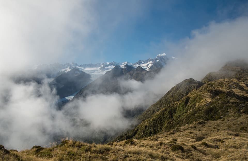 ChallengingMount Fox Route7.4 km · 8 hr · 4.1 km awayA steep expert climb to glacier and coast views.
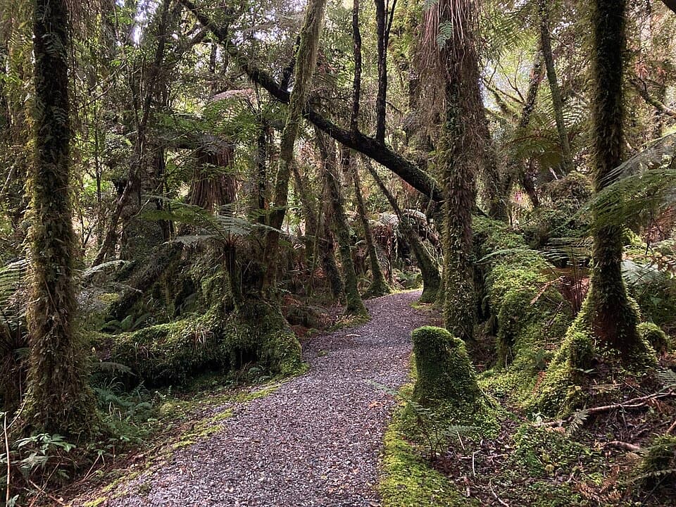 EasyMinnehaha Walk1.2 km · 20 min · 4.4 km awayA short rainforest loop with a chance of glowworms after dark.
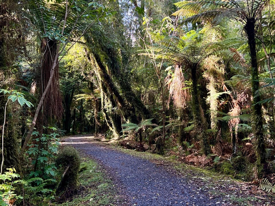 EasyTe Weheka Walkway/Cycleway5 km · 1.3 hr · 4.4 km awayA forest walk to an active landslide viewpoint in Fox Glacier Valley.
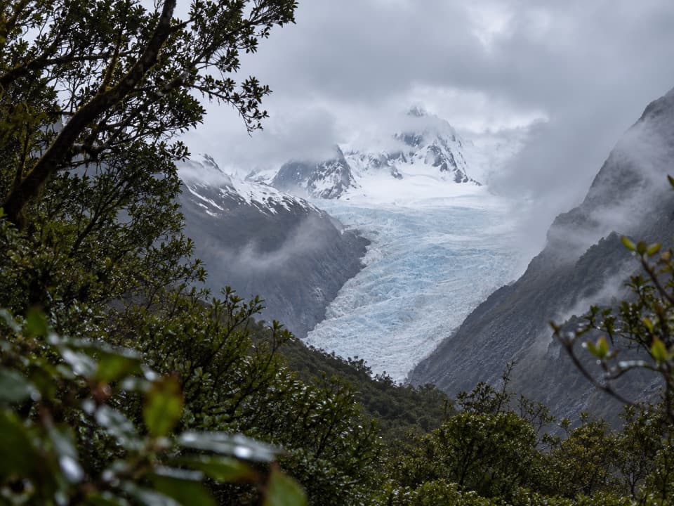 EasyFox Glacier South Side Walkway/Cycleway6.4 km · 2 hr · 4.6 km awayForest walking to a glacier view 2.6 km from the ice.
 EasyMoraine Walk4 km · 1.5 hr · 4.6 km awayA ferny loop across three ages of glacier moraine.
 ModerateMiners Tunnel Track5.1 km · 1.7 hr · 12.2 km awayA gold dredge, lagoon bridge and tunnel fit in one coastal walk.
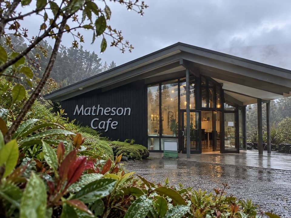 Restaurant · At the trailheadMatheson CaféBreakfast with Aoraki and Tasman in view.
 Sight · 0.9 km awayLake Matheson Jetty LookoutA short rainforest walk reaches the lake’s famous mountain mirror.
 Sight · 1.2 km awayReflection IslandFor the Alps doubled, aim for a still dawn.
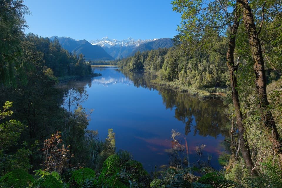 Sight · 1.4 km awayView of Views LookoutA high lookout frames Aoraki and Tasman beyond the lake.
 Sight · 2.3 km awayLake Gault LookoutA lakeside shelter with Southern Alps views, reached on foot.
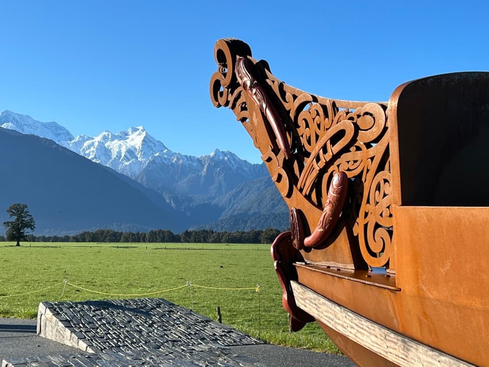 Sight · 4.4 km awayTe Kopikopiko o te WakaCarved waka and a glacier panorama share a striking creation story.
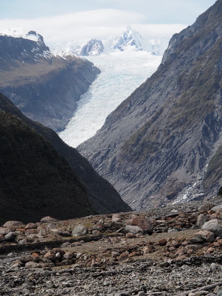 Sight · 6.9 km awayFox Glacier South Side ViewpointThe 6.4 km south-bank walk to Fox Glacier's final viewpoint.
 Beach · 9.2 km awayGalway BeachA forest tramp to a pebble shore and winter seal haul-out.
Parkwolf’s Westland Tai Poutini ranking
The audio tour guide for the drive, plus offline maps, trails, and wildlife heatmaps for when the signal drops.